Status unknown — verify before visiting
We don't have current condition data for this trail. Check with the land manager before you go.
11.3 mi
Distance
1,955 ft
Elev. Gain
4h 25m
Est. Time
Out & Back
Route Type
Difficult
Difficulty
About This Trail
We don't have an editorial description for Wildcat Canyon Trail in our cache yet. The planning stats above (distance, elevation gain, estimated time, route type) come from the source listed on this trail.
For current conditions, closures, and route notes, check the official sources below — they're the authority for this trail, not us. Spot something we should add?
Trail Conditions
Trail Conditions
We have no current condition data for this trail. Check with the operator before you go, and submit a report below if you've been recently.
No recent condition reports. Be the first to share what you see on the trail.
Elevation Profile
Trail Details
- No dogs
- Kid-friendly
- Route Type
- Out & Back
- Surface
- Dirt
Official sources & verification
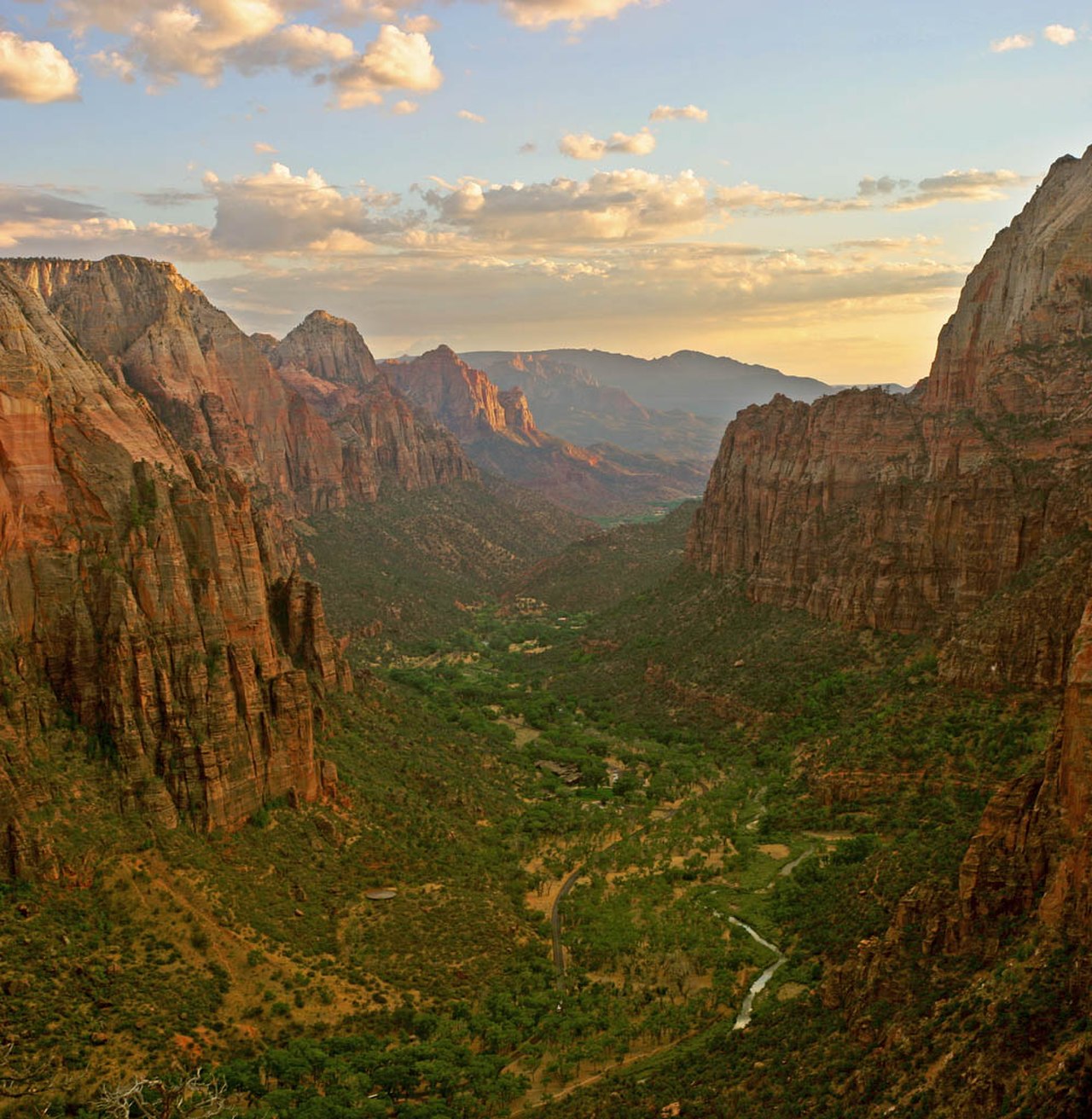
Managed by National Park Service
Source of truth
- National Park Service unit page
Alerts, conditions, and the unit's plan-your-visit page.
Verify by phone or mail
- Operator:435-772-3256
- Address:Zion National Park, 1 Zion Park Blvd., State Route 9 · Springdale, UT · 84767
Reviews
No reviews yet
Be the first to share your experience and help others plan their visit.
Legacy import — verify before navigating
Path geometry came from our pre-launch legacy database. Routes have not yet been re-verified against the operator and may differ from the actual trail.
Hunt context
This trail crosses hunting unit
During hunting seasons, wear blaze orange and check regulations — see the Utah hunting page
Nearby Trails
More trails near Wildcat Canyon Trail
Northgate Peaks via Kolob Terrace
South Guardian Angel via Kolob Terrace
.jpg/1280px-Zion_Subway_Hike_(8014446382).jpg)
The Subway (Bottom-Up)
Wildcat Canyon Connector Trail
Hop Valley and Kolob Arch Trail
Red Butte Trail in Kolob Terrace
In this park
Other trails in Zion National Park
Angels Landing
Utah

Observation Point Trail
Utah
The Subway (Bottom-Up)
Utah

Canyon Overlook Trail
Utah
The Zion Narrows Riverside Walk
Utah
The Watchman Trail
Utah
Stay nearby
Campgrounds near this trail
Lambs Knoll Campground
2.7 mi away · UT
Lava Point Campground
3.8 mi away · UT
Reservable
Zion Wright Family Ranch
4.3 mi away · UT
The Virgin River Narrows Campsites 1-12 (Backcountry Wilderness Designated Sites)
6.6 mi away · UT
La Verkin Overlook Road (East)
7.2 mi away · UT
La Verkin Creek Trail Campsites
7.3 mi away · UT
Similar length
Similar trails in Utah
The Subway (Bottom-Up)
Utah

Fairyland Loop Trail
Utah
Devils Garden Primitive Loop
Utah
Lake Blanche Trail
Utah
Mount Olympus Trail
Utah
Grandeur Peak East Trail from Church Fork
Utah