
1 / 5


.jpg/1280px-Rim_Trail,_Sunset_Point,_Bryce_Canyon_National_Park,_Utah_(34820292094).jpg)
EasyPoint to Point
15.9 mi
Distance
1,201 ft
Elev. Gain
4h 16m
Est. Time
Point to Point
Route Type
Easy
Difficulty
About This Trail
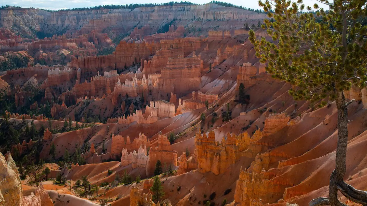
Imported descriptionWalk along the rim connecting all major viewpoints. Paved between Sunrise and Sunset Points. Can start at any viewpoint - perfect for sunset walks.
Trail Conditions
Trail Conditions
Open
Updated Apr 19, 2026 — may be out of date
No recent condition reports. Be the first to share what you see on the trail.
Trail Details
- No dogs
- Route Type
- Point to Point
- Surface
- Paved
Official sources & verification
Managed by National Park Service
Source of truth
- National Park Service unit page
Alerts, conditions, and the unit's plan-your-visit page.
Verify by phone or mail
- Operator:435-834-5322
- Address:Highway 63, Bryce Canyon National Park · Bryce, UT · 84764
Best Seasons
Highlights
Sunrise PointSunset PointInspiration PointBryce PointFairyland Point
Reviews
No reviews yet
Be the first to share your experience and help others plan their visit.
OpenStreetMap
Hunt context
This trail crosses hunting units
During hunting seasons, wear blaze orange and check regulations — see the Utah hunting page
Nearby Trails
More trails near Rim Trail
Queens Garden to Navajo Loop
1.3 mi
TrailModerate
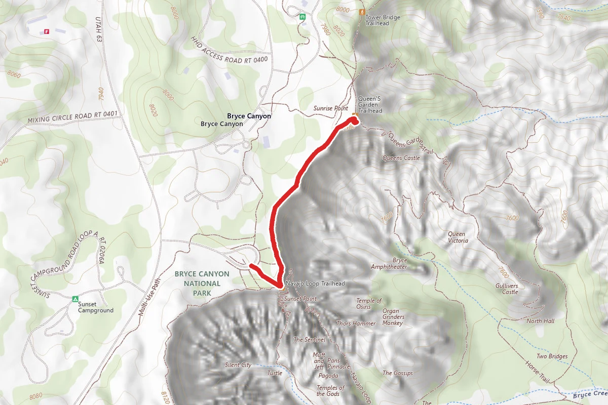
Sunset Point to Sunrise Point
1.1 mi
TrailEasy
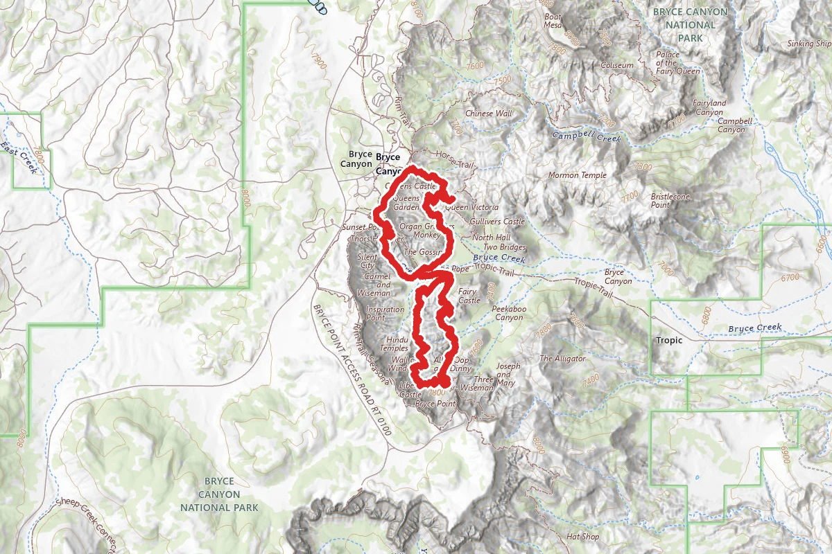
Wall Street and Queens Garden Loop to Peekaboo Loop (Figure Eight Trail)
6.3 mi
TrailDifficult

Navajo Loop Trail
1.4 mi
TrailModerate
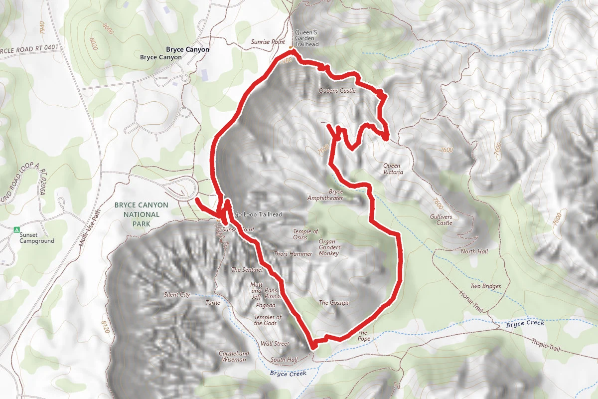
Navajo Loop and Queen's Garden Trail
2.6 mi
TrailModerate
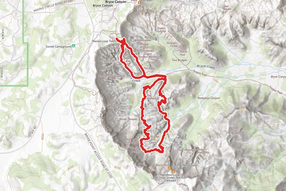
Navajo Loop Trail to Peekaboo Loop
4.4 mi
TrailDifficult
In this park
Other trails in Bryce Canyon National Park
Queens Garden to Navajo Loop
Utah
1.3 mi600 ftgain
TrailModerate

Fairyland Loop Trail
Utah
8.0 mi1,542 ftgain
TrailDifficult
Navajo Loop and Queen's Garden Trail
Utah
2.6 mi863 ftgain
TrailModerate
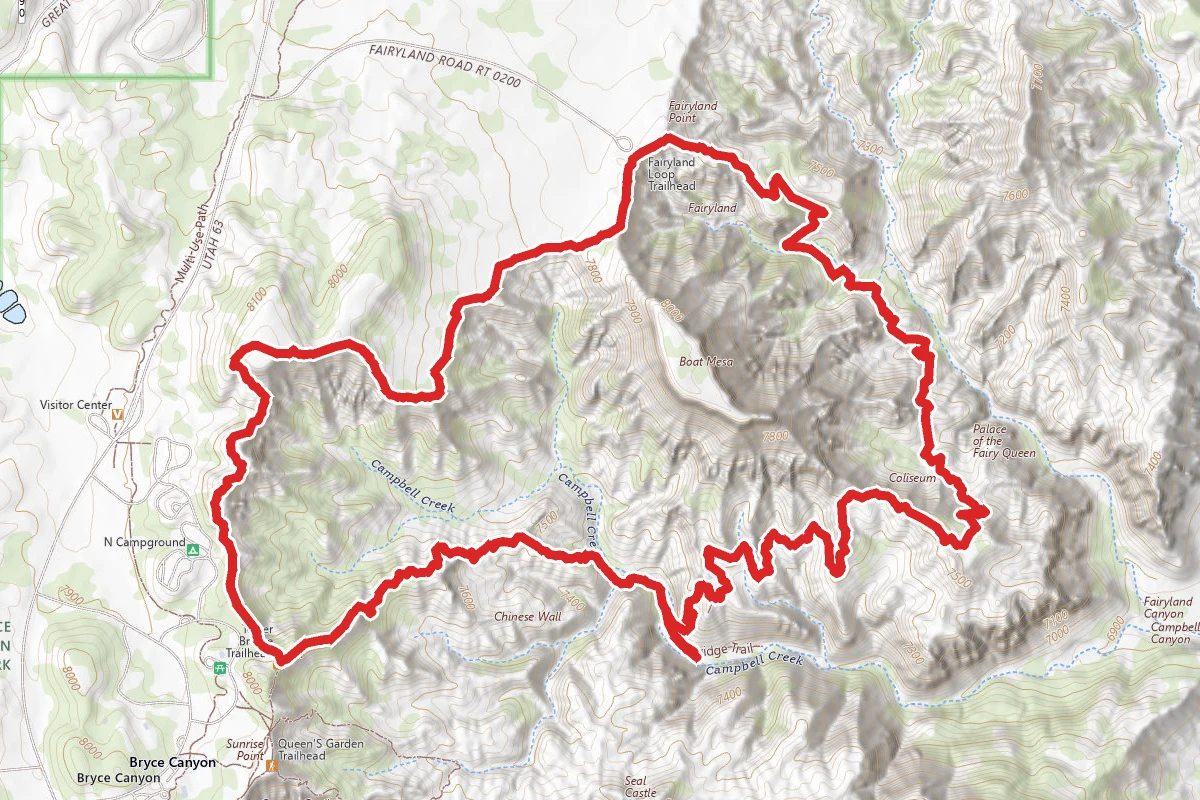
Fairyland Loop Trail
Utah
7.4 mi2,211 ftgain
TrailDifficult
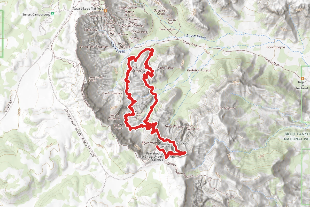
Peekaboo Loop Trail
Utah
5.2 mi2,946 ftgain
TrailDifficult
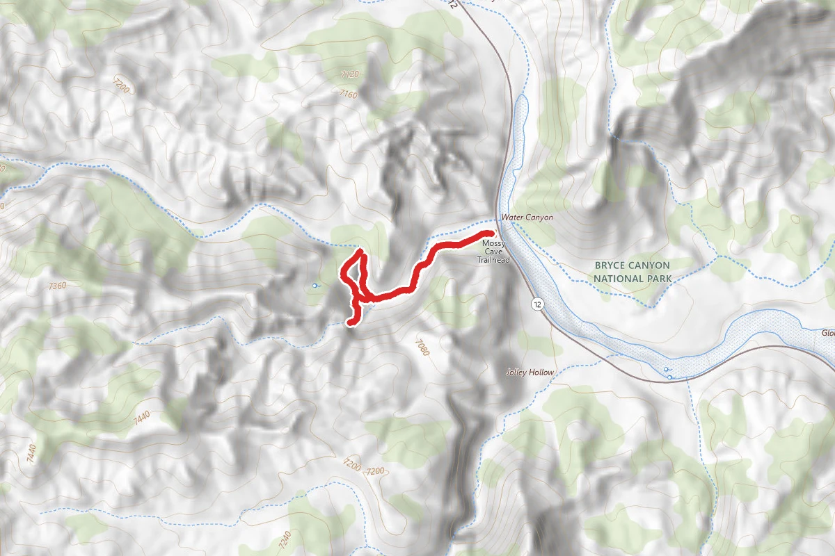
Mossy Cave Turret Arch and Little Windows Trail
Utah
1.0 mi266 ftgain
TrailEasy
Stay nearby
Campgrounds near this trail
Similar length
Similar trails in Utah
.jpg/1280px-Zion_Subway_Hike_(8014446382).jpg)
The Subway (Bottom-Up)
Utah
9.0 mi1,499 ftgain
TrailExpert Permit
Fairyland Loop Trail
Utah
8.0 mi1,542 ftgain
TrailDifficult
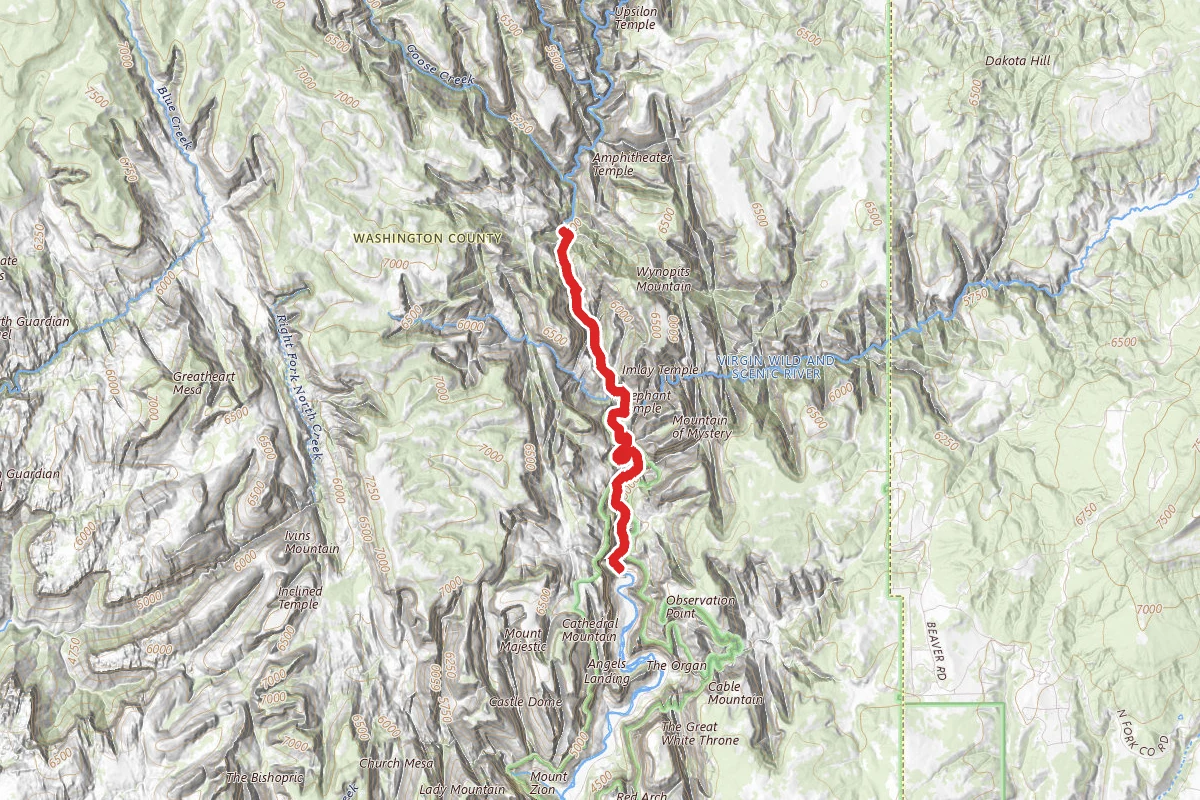
Zion Narrows Trail to Imlay Temple and Big Spring
Utah
8.6 mi7,005 ftgain
TrailExpert
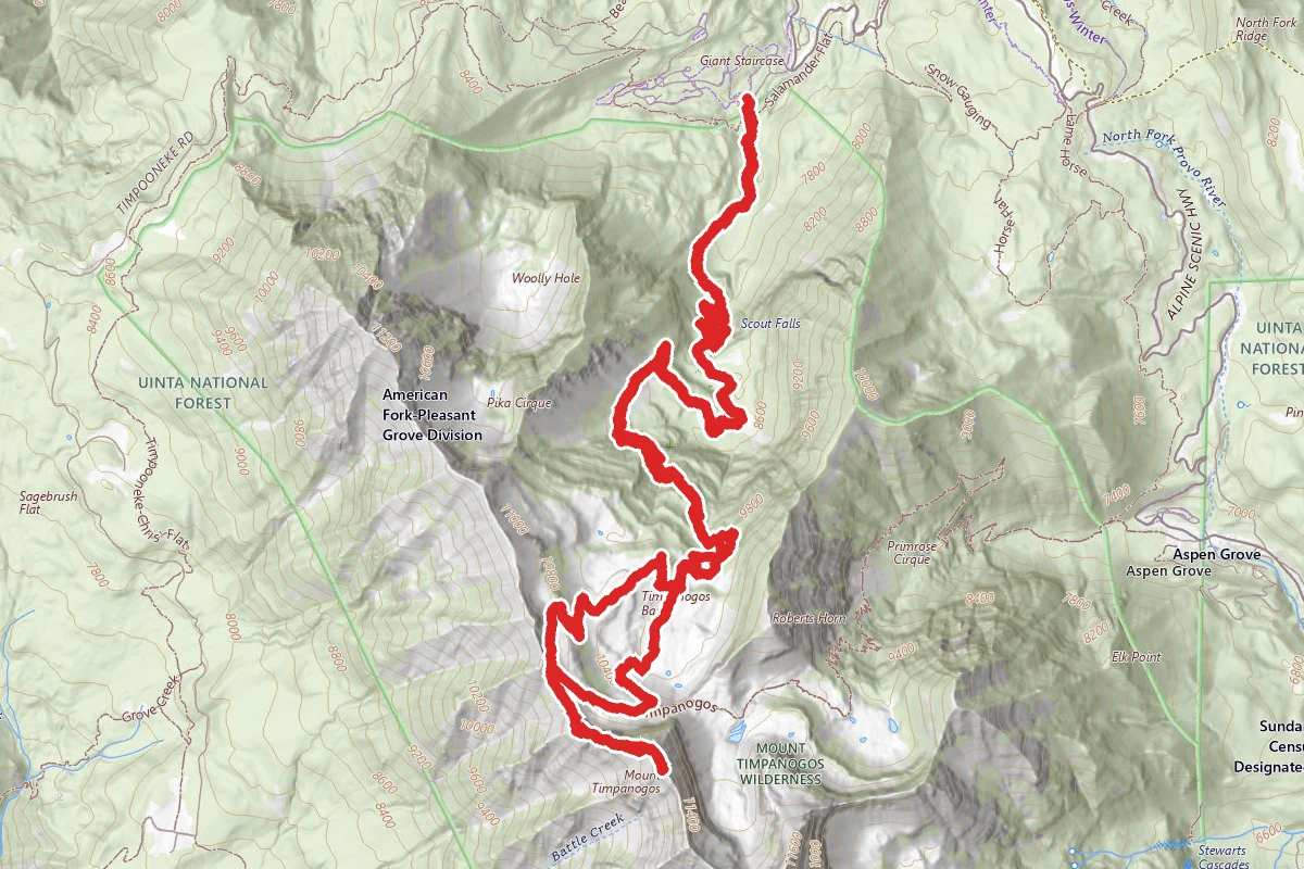
Mount Timpanogos via Timpooneke Trail
Utah
14.3 mi7,356 ftgain
TrailExpert
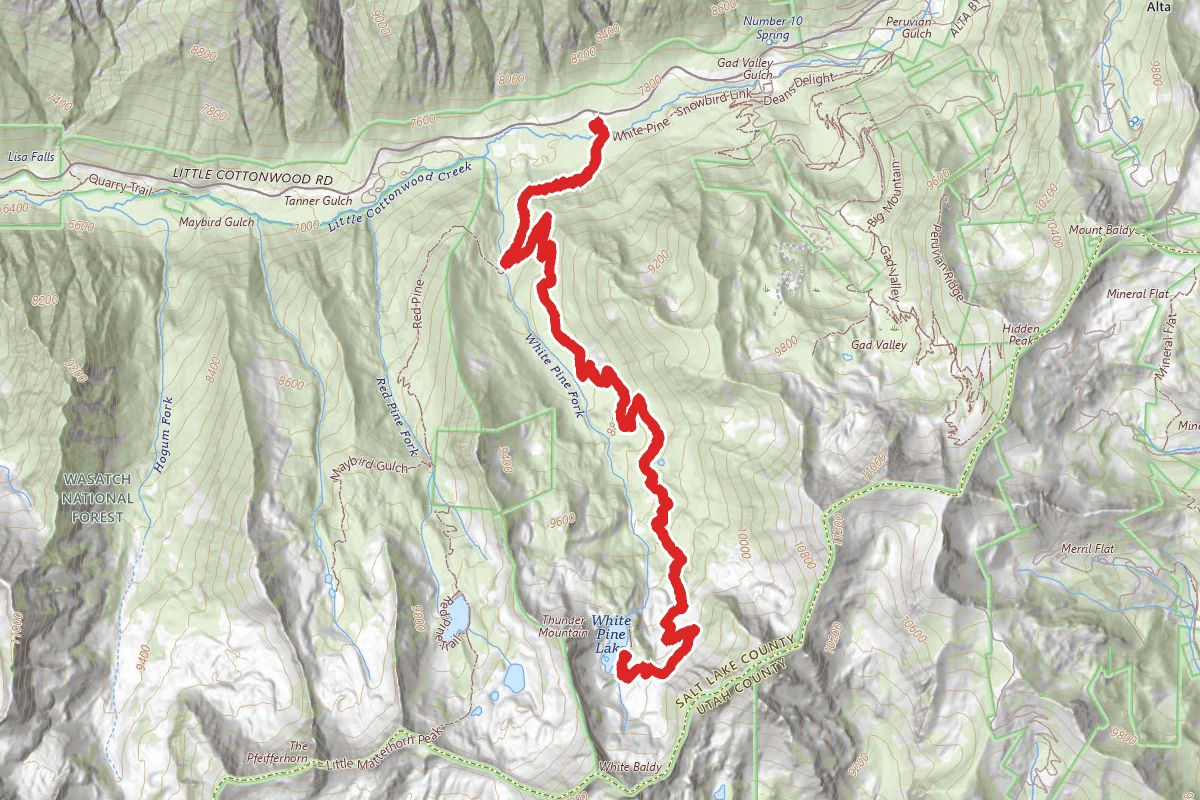
White Pine Lake Trail
Utah
10.5 mi3,930 ftgain
TrailExpert
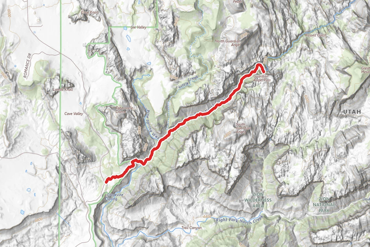
The Subway Trail
Utah
9.1 mi3,698 ftgain
TrailExpert
Spot an error in our data on Rim Trail?