This trail is currently closed
NPS Zion conditions page says Observation Point cannot be reached from Zion Canyon and the East Rim Trail is partially closed by rockfall, checked 2026-10-15. Verify current status with the land manager before visiting.
Status updated 10/15/2026
0.4 mi
Distance
2,149 ft
Elev. Gain
3h 44m
Est. Time
Out & Back
Route Type
Difficult
Difficulty
About This Trail
We don't publish a description for Observation Point Trail unless we can point you at the agency it came from. We don't have one yet. The planning figures above — distance, elevation gain, estimated time, route type — come from the source listed on this trail.
National Park Service manages this trail and is the authority for conditions, closures and route notes. See official sources below. Spot something we should add?
Trail Conditions
Trail Conditions
Updated Today
NPS Zion conditions page says Observation Point cannot be reached from Zion Canyon and the East Rim Trail is partially closed by rockfall, checked 2026-10-15.
No recent condition reports. Be the first to share what you see on the trail.
Trail Details
- No dogs
- Route Type
- Out & Back
- Surface
- Mixed Surface
Official sources & verification
Managed by National Park Service
Source of truth
- National Park Service unit page
Alerts, conditions, and the unit's plan-your-visit page.
Where it is
- Nearest town:
- Springdale, UT · about 6 mi away
- County:
- Washington County, UT
- Jurisdiction:
- Zion National Park · National Park Service
Nearest town and county from U.S. Census Bureau place records and county boundaries.
Verify by phone or mail
- Operator:435-772-3256
- Address:Zion National Park, 1 Zion Park Blvd., State Route 9 · Springdale, UT · 84767
Reviews
No reviews yet
Be the first to share your experience and help others plan their visit.
OpenStreetMap
Nearby Trails
More trails near Observation Point Trail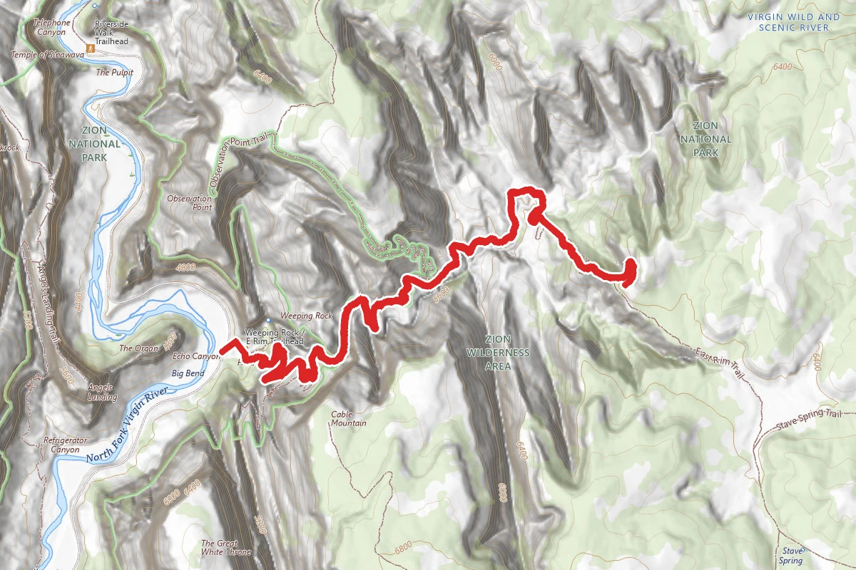
Echo Canyon Trail
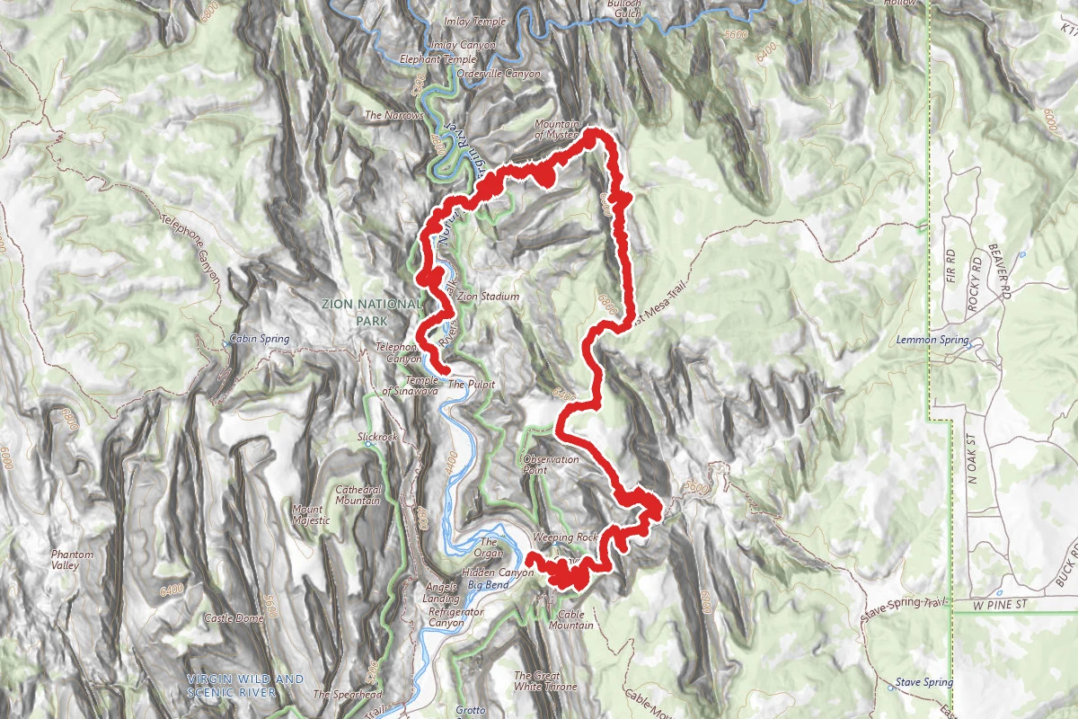
East Rim Trail to Mystery Canyon
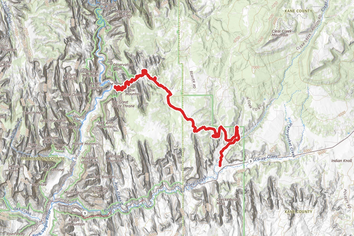
East Rim Trail from Big Bend
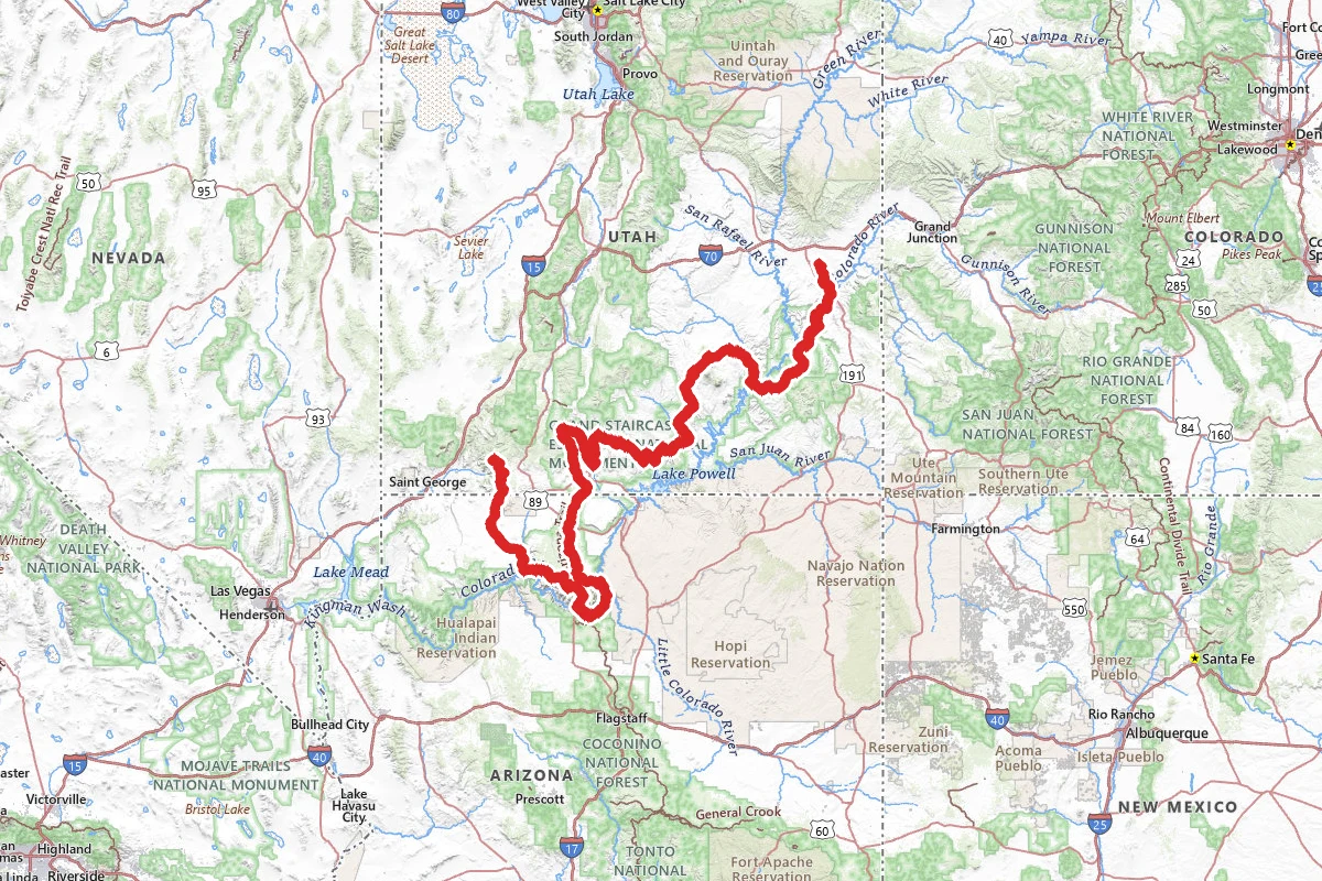
Hayduke Trail
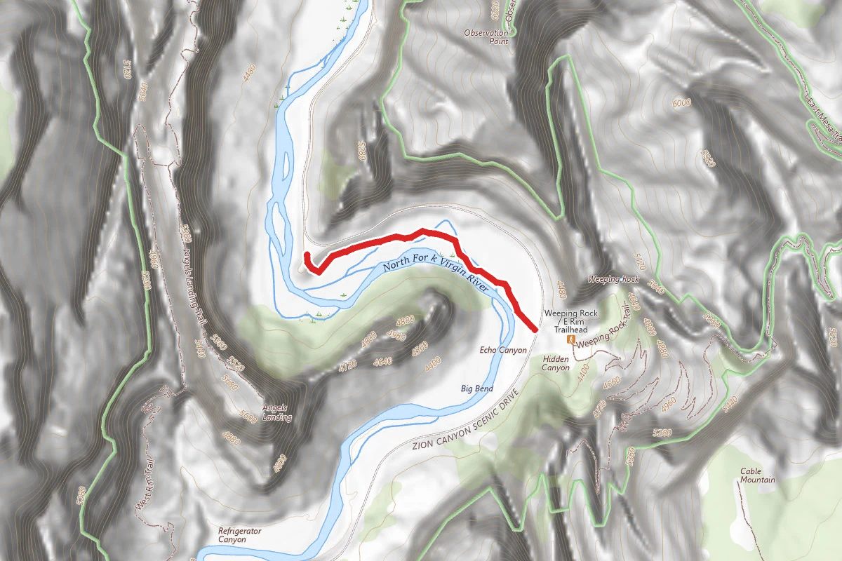
Virgin River Walk
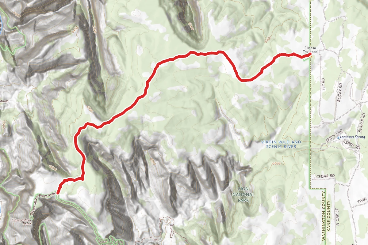
East Mesa
In this park
Other trails in Zion National Park
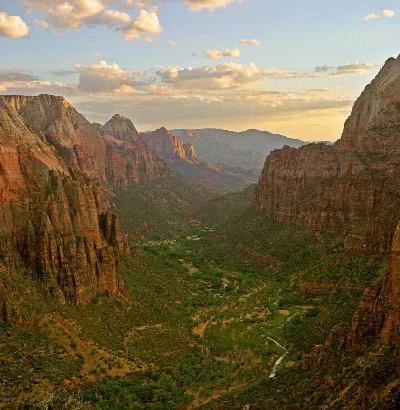
Angels Landing
Utah
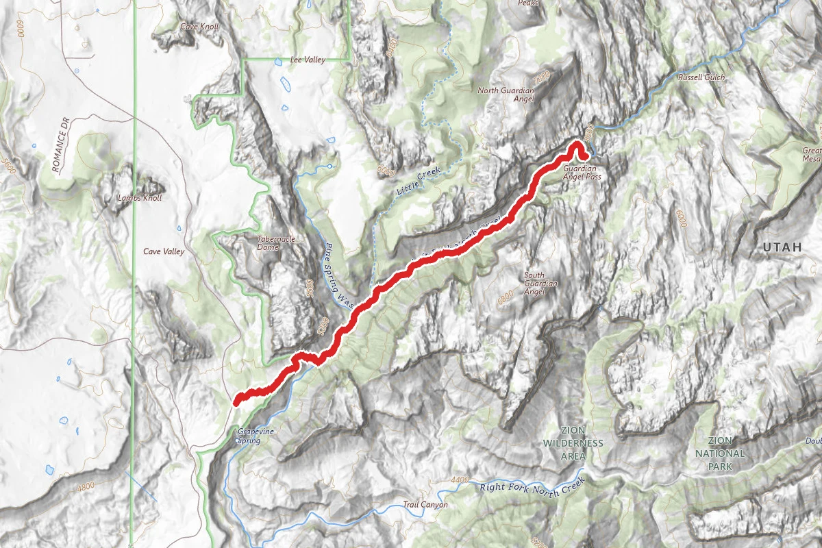
The Narrows (Bottom-Up)
Utah
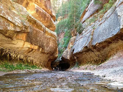
The Subway (Bottom-Up)
Utah
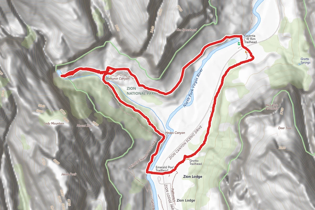
Emerald Pools Trail
Utah
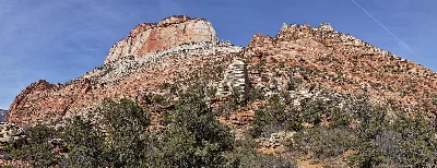
Canyon Overlook Trail
Utah
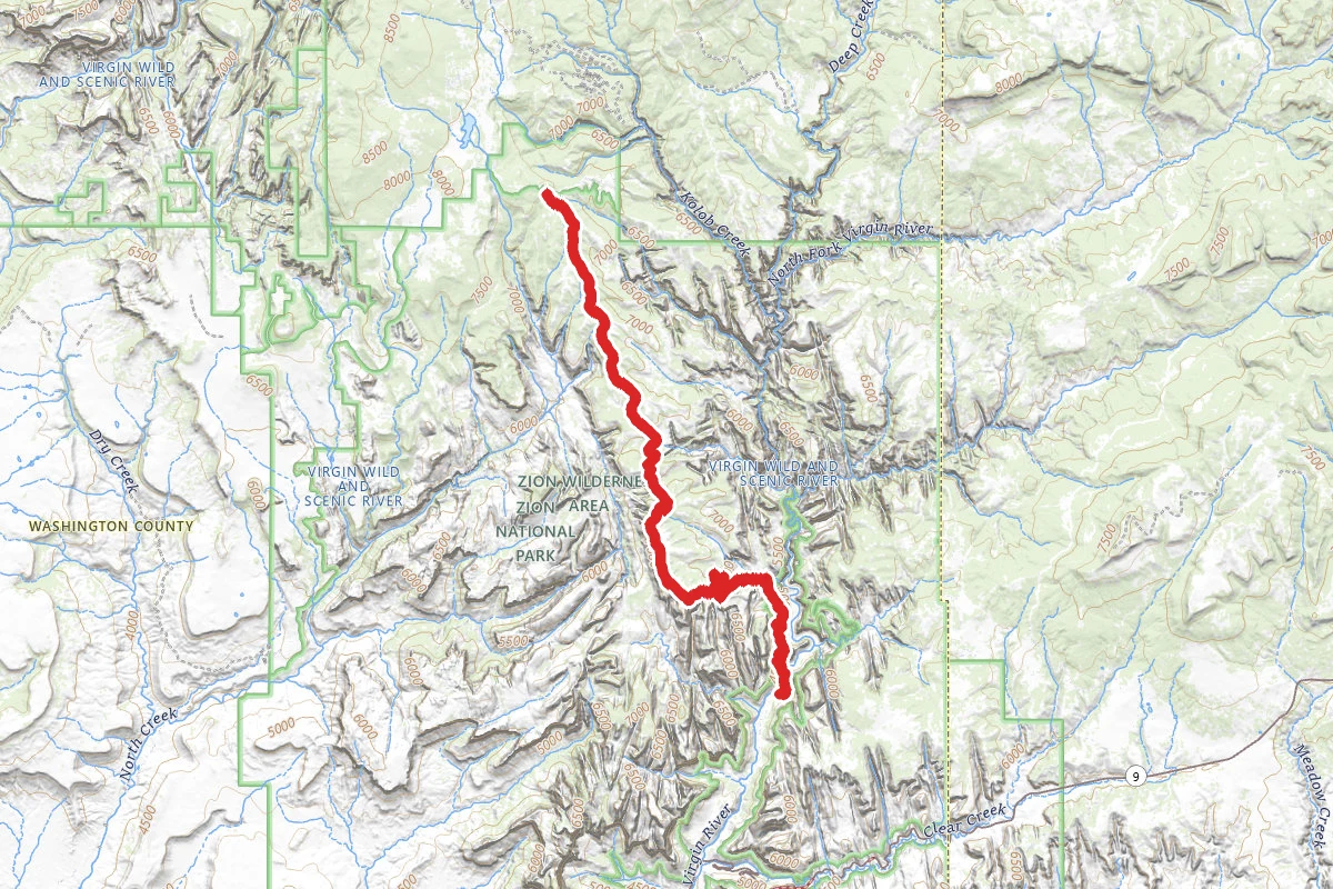
West Rim Trail (Top-Down)
Utah
Stay nearby
Campgrounds near this trail
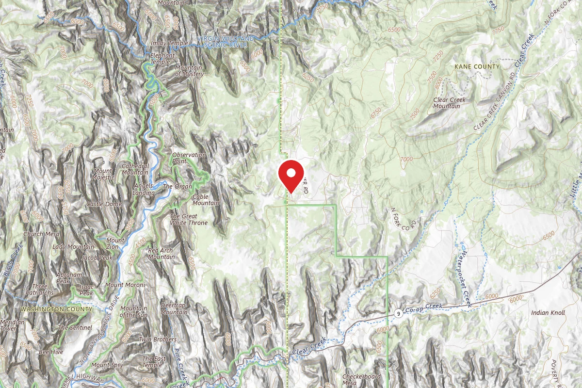 Reservable
Zion A-Frame Cabin
2.4 mi away · UT
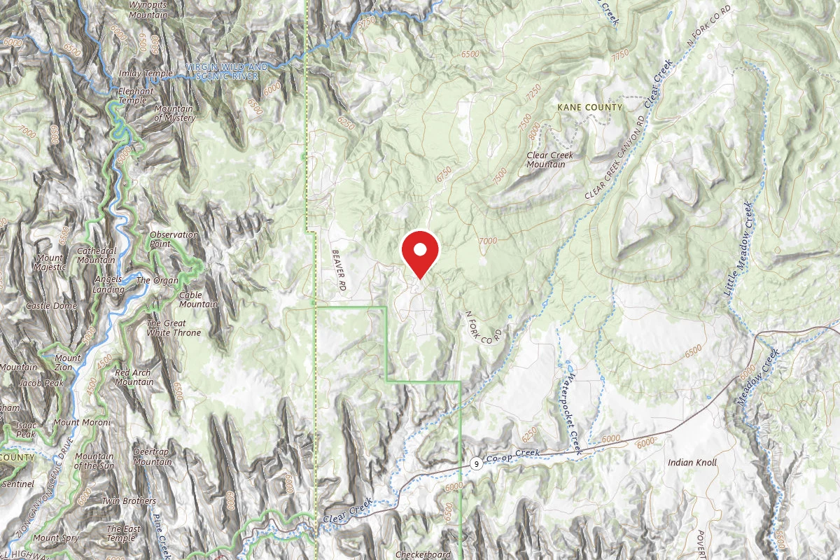 Reservable
Zion Ponderosa Ranch Resort
3.7 mi away · UT
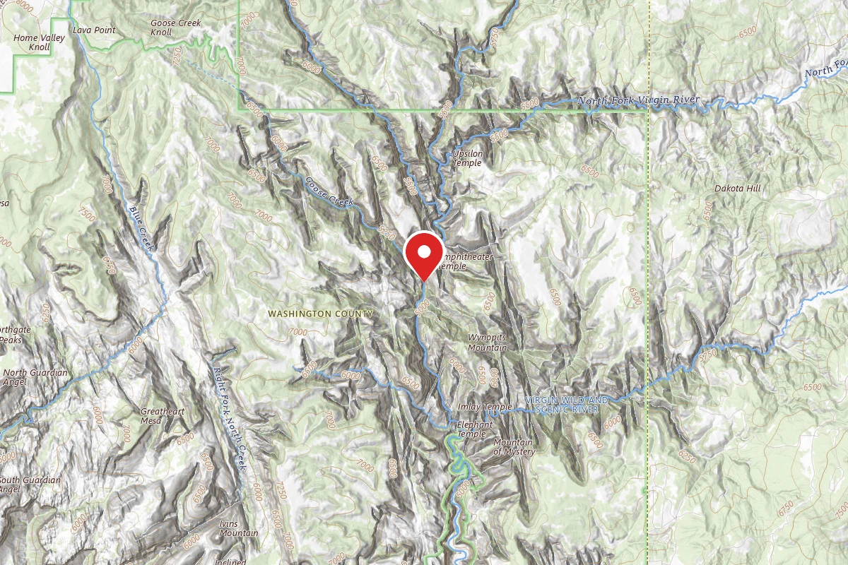
The Virgin River Narrows Campsites 1-12 (Backcountry Wilderness Designated Sites)
4.5 mi away · UT
South Campground
5.2 mi away · UT
Birch Hollow
5.3 mi away · UT
 Reservable
Zion RV and Campground (Hi-Road)
5.3 mi away · UT
Similar length
Similar trails in Utah
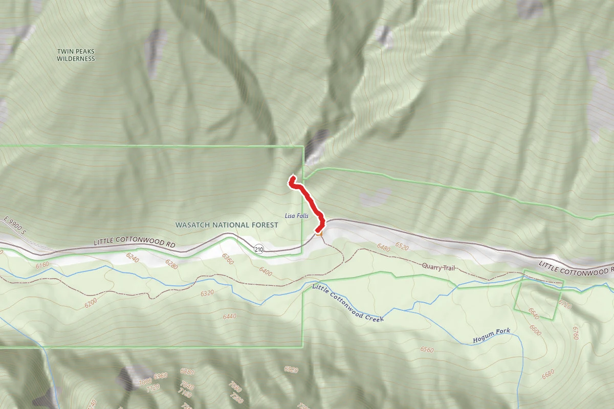
Lisa Falls Trail
Utah
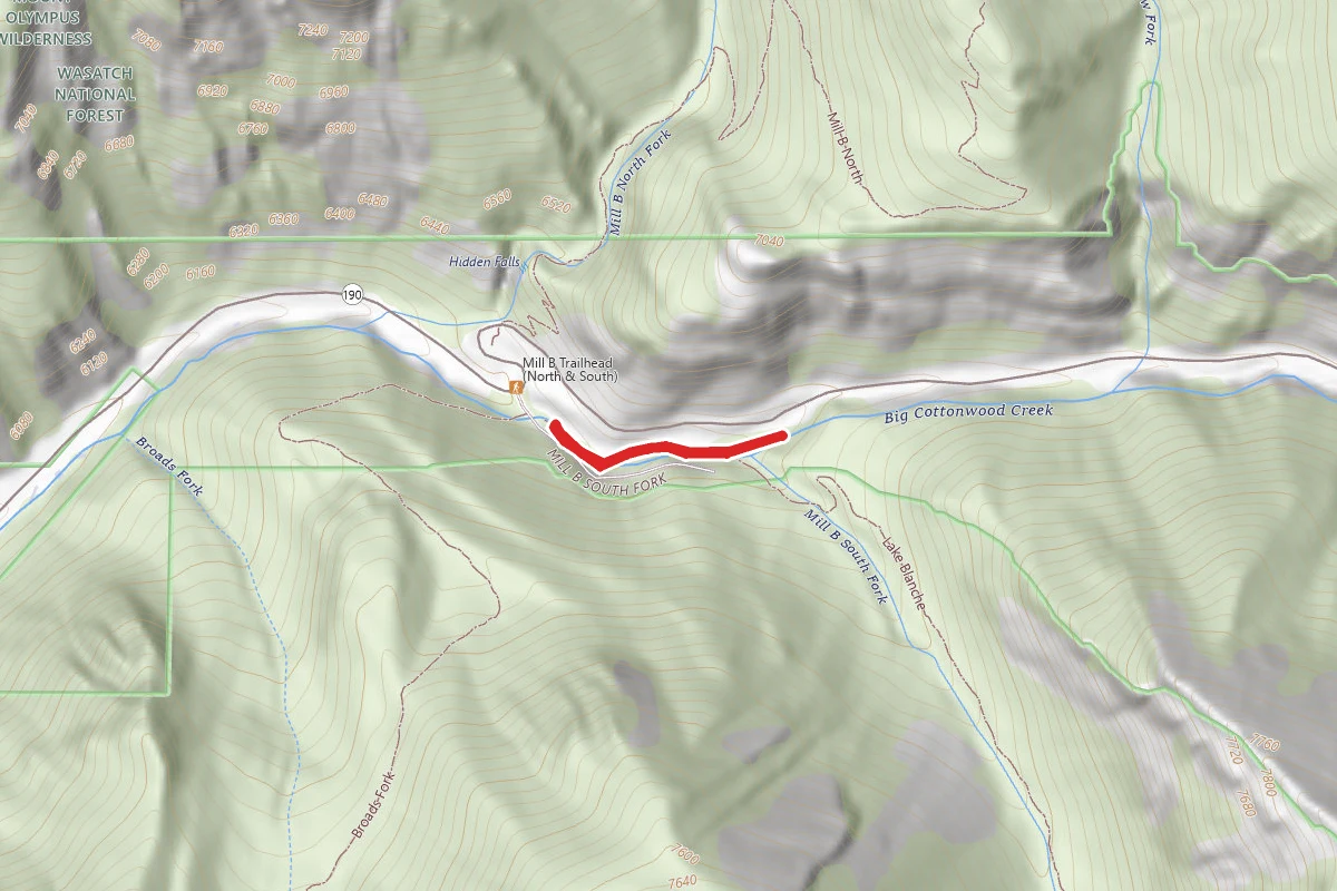
Mill B South Trail
Utah
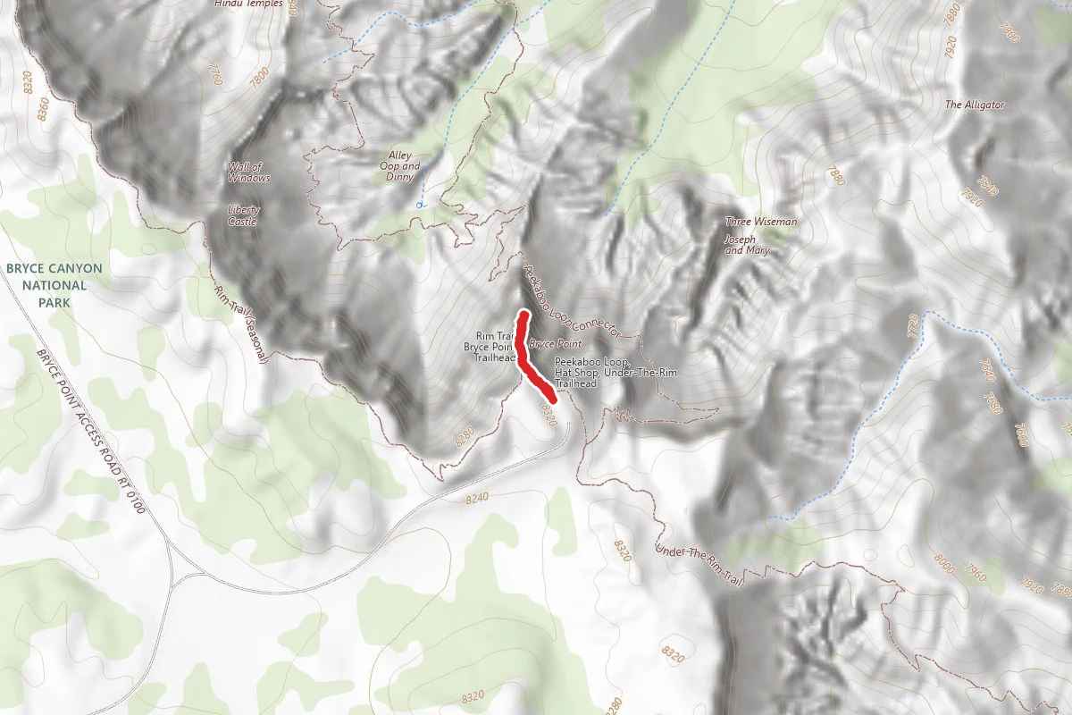
Bryce Point Trail
Utah
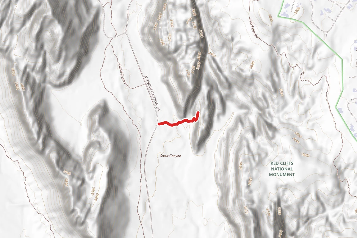
Jenny's Canyon Trail
Utah
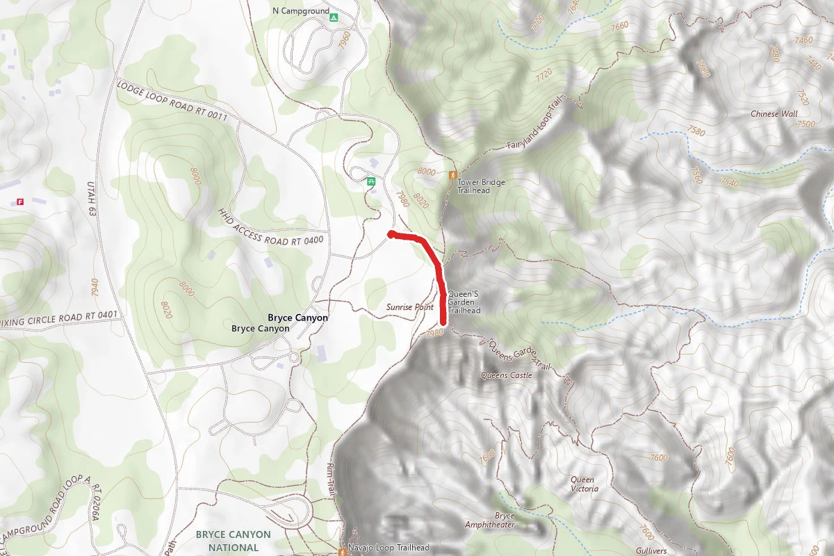
Sunrise Point
Utah
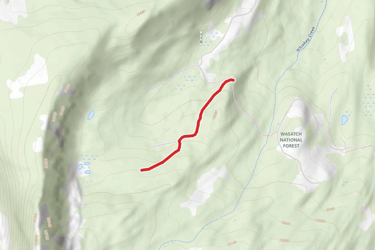
Island Lake Trail
Utah