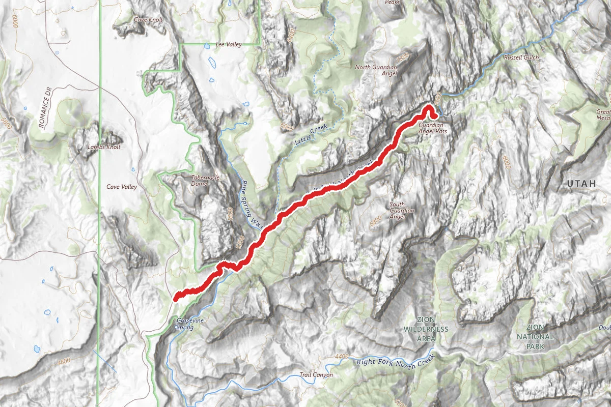
ModerateOut and Back
3.5 mi
Distance
335 ft
Elev. Gain
3h 18m
Est. Time
Out & Back
Route Type
Moderate
Difficulty
About This Trail
Imported descriptionHike through the Virgin River narrows between towering canyon walls up to 2,000 feet high. Much of the hike is wading through the river. Water conditions vary seasonally.
Trail Conditions
Trail Conditions
Open
Updated Apr 19, 2026 — may be out of date
No recent condition reports. Be the first to share what you see on the trail.
Trail Details
- No dogs
- Route Type
- Out & Back
- Surface
- Mixed Surface
Official sources & verification
Managed by National Park Service
Source of truth
- National Park Service unit page
Alerts, conditions, and the unit's plan-your-visit page.
Verify by phone or mail
- Operator:435-772-3256
- Address:Zion National Park, 1 Zion Park Blvd., State Route 9 · Springdale, UT · 84767
Best Seasons
Highlights
Slot canyonRiver hiking2000-foot wallsOrderville Canyon junctionWall Street section
Reviews
No reviews yet
Be the first to share your experience and help others plan their visit.
OpenStreetMap
Hunt context
This trail crosses hunting units
During hunting seasons, wear blaze orange and check regulations — see the Utah hunting page
Nearby Trails
More trails near The Narrows (Bottom-Up)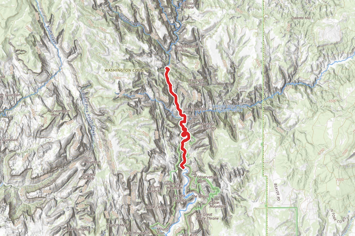
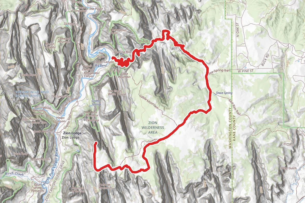
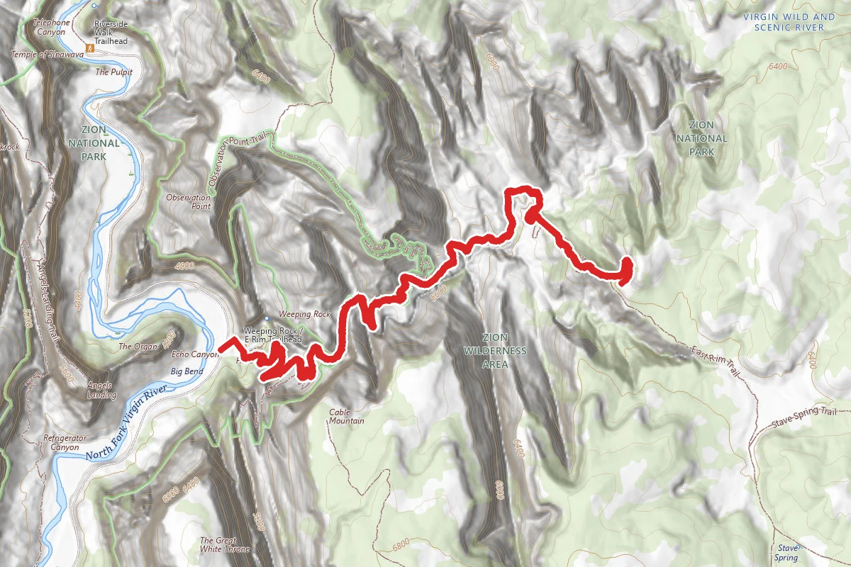
In this park
Other trails in Zion National Park
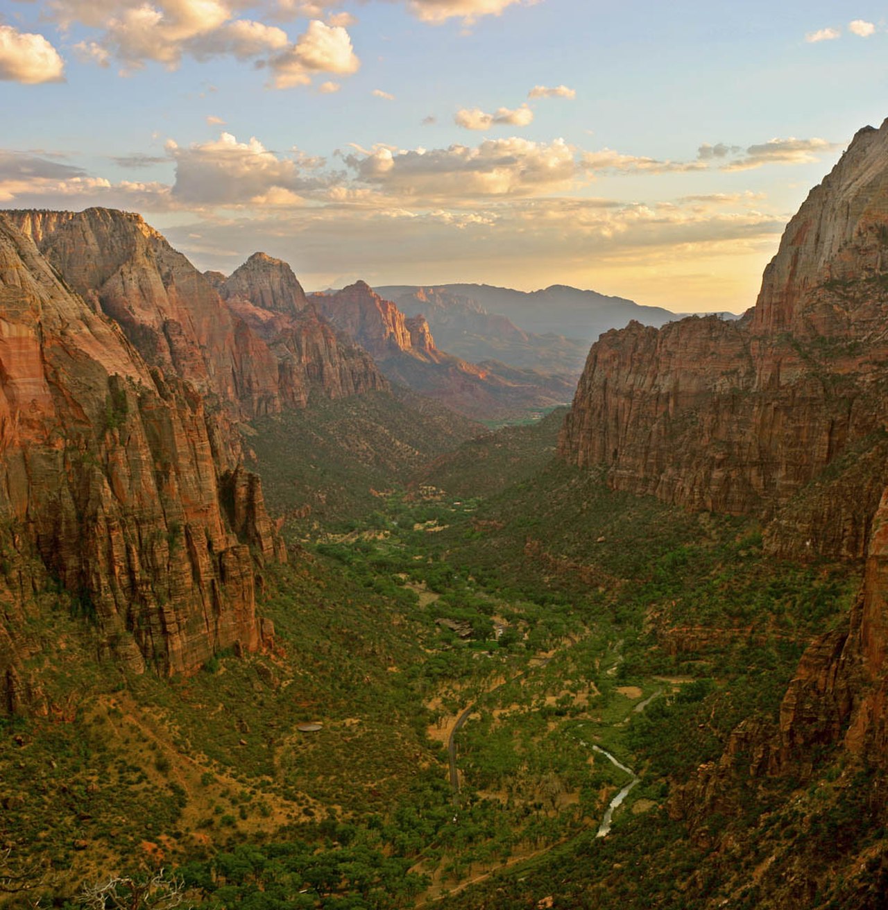
Angels Landing
Utah
5.4 mi1,490 ftgain
TrailExpert Permit

Observation Point Trail
Utah
0.4 mi2,149 ftgain
TrailDifficult
.jpg/1280px-Zion_Subway_Hike_(8014446382).jpg)
The Subway (Bottom-Up)
Utah
9.0 mi1,499 ftgain
TrailExpert Permit

Canyon Overlook Trail
Utah
1.0 mi164 ftgain
TrailModerate
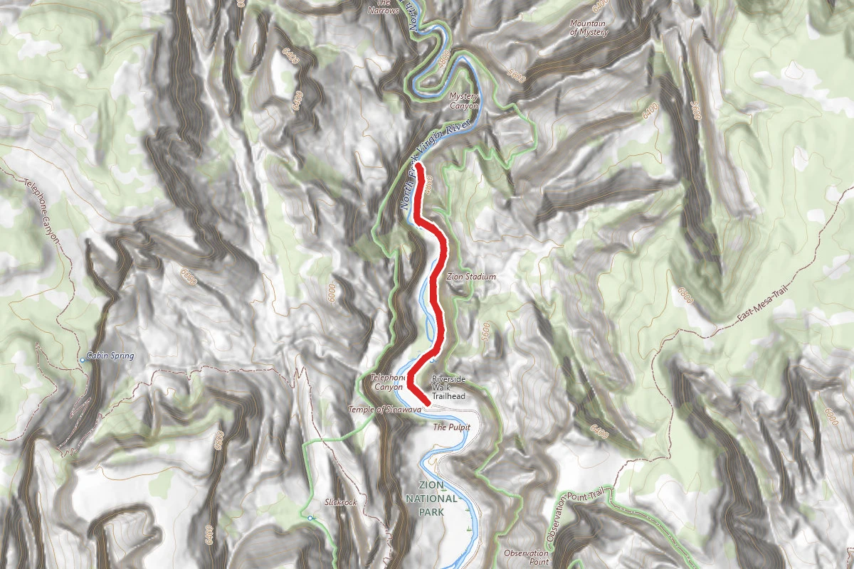
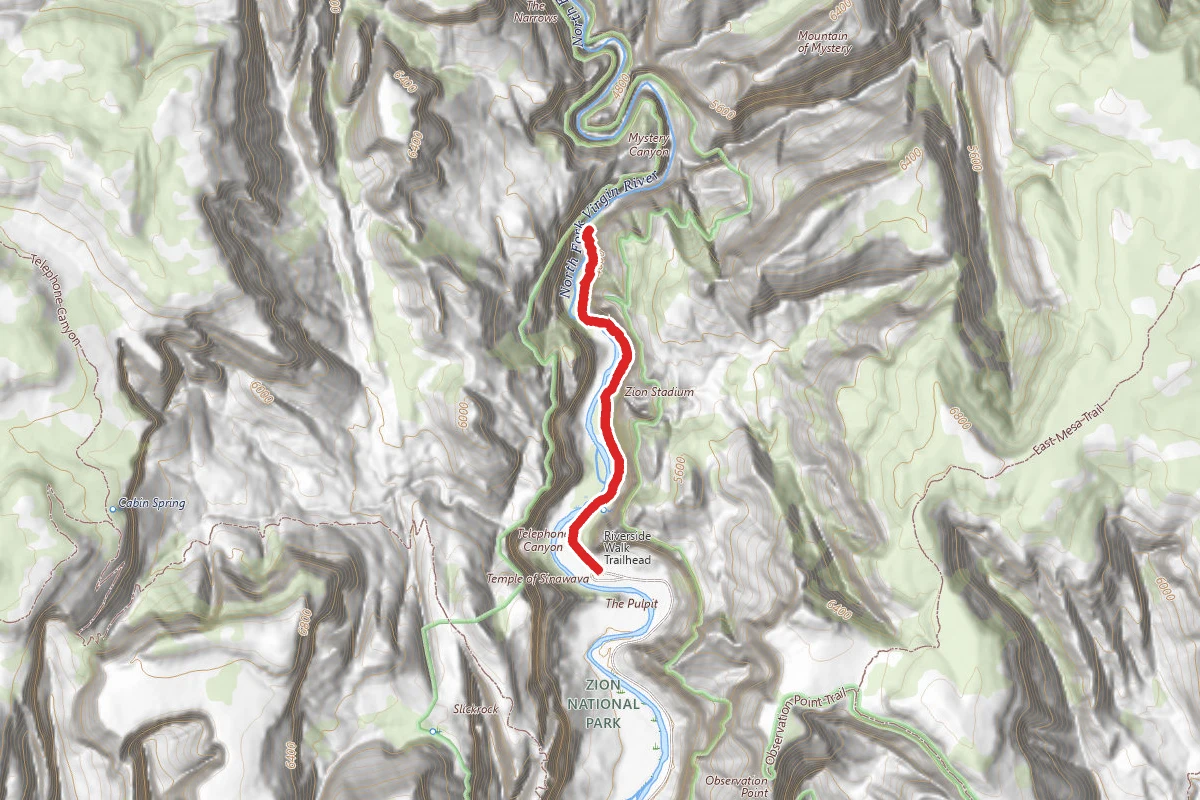
The Zion Narrows Riverside Walk
Utah
1.8 mi2,349 ftgain
TrailDifficult
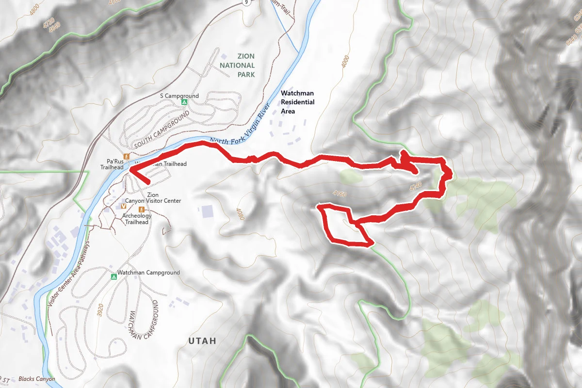
The Watchman Trail
Utah
3.1 mi1,289 ftgain
TrailModerate
Stay nearby
Campgrounds near this trail
Similar length
Similar trails in Utah

Delicate Arch Trail
Utah
3.0 mi538 ftgain
TrailDifficult
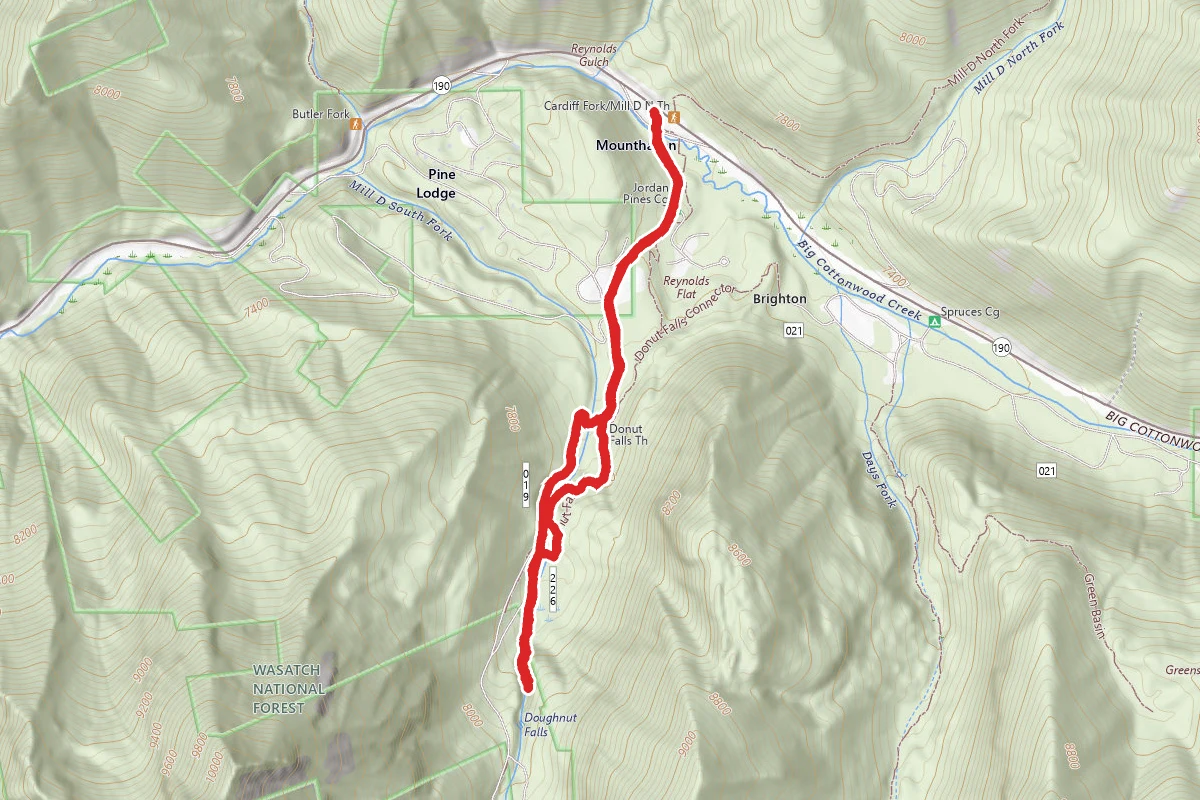
Donut Falls Trail
Utah
3.0 mi745 ftgain
TrailModerate
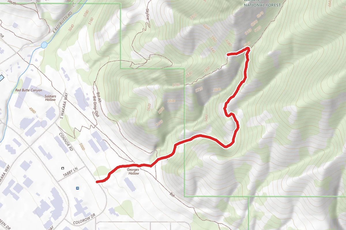
The Living Room Lookout Trail
Utah
2.3 mi1,076 ftgain
TrailModerate
The Zion Narrows Riverside Walk
Utah
1.8 mi2,349 ftgain
TrailDifficult
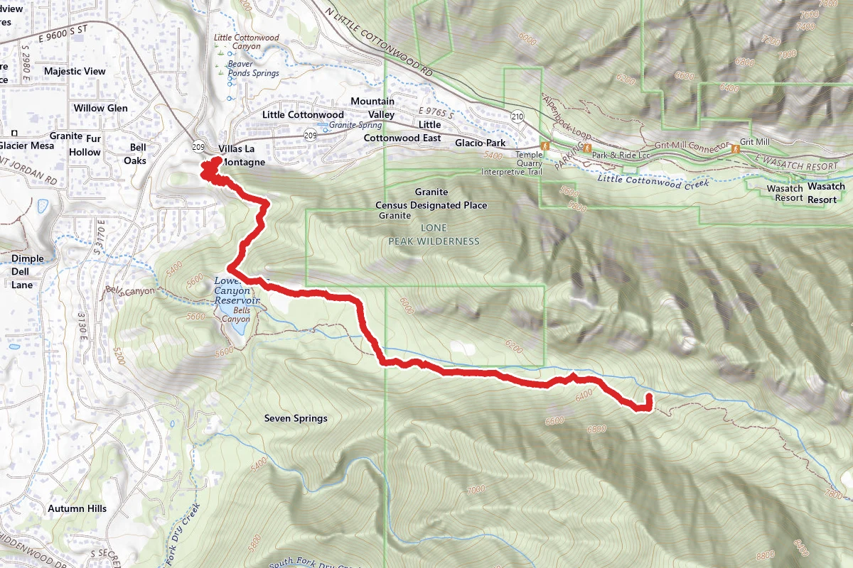
Bells Canyon Trail to Lower Falls
Utah
4.6 mi1,801 ftgain
TrailDifficult
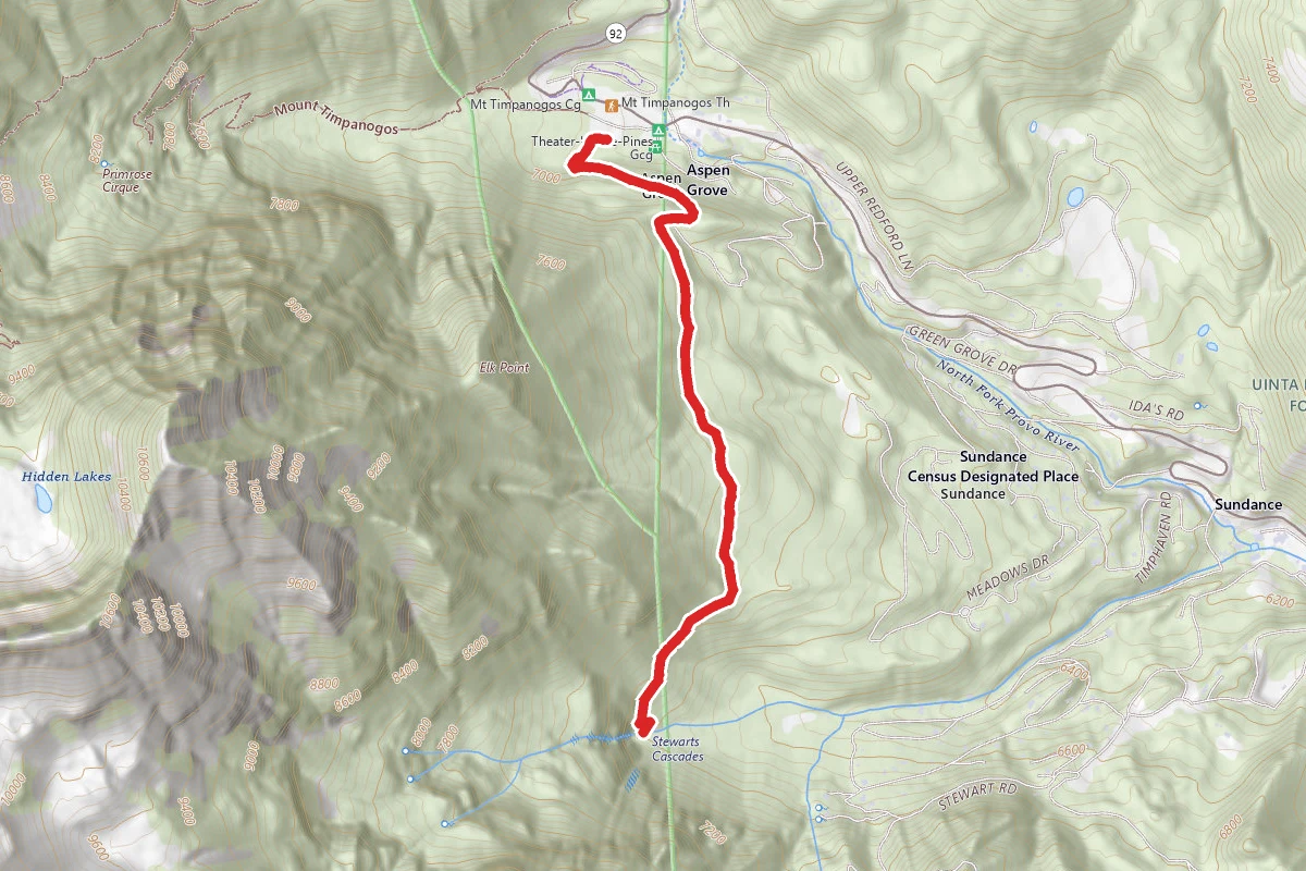
Stewart Falls Trail
Utah
3.4 mi886 ftgain
TrailModerate
Spot an error in our data on The Narrows (Bottom-Up)?