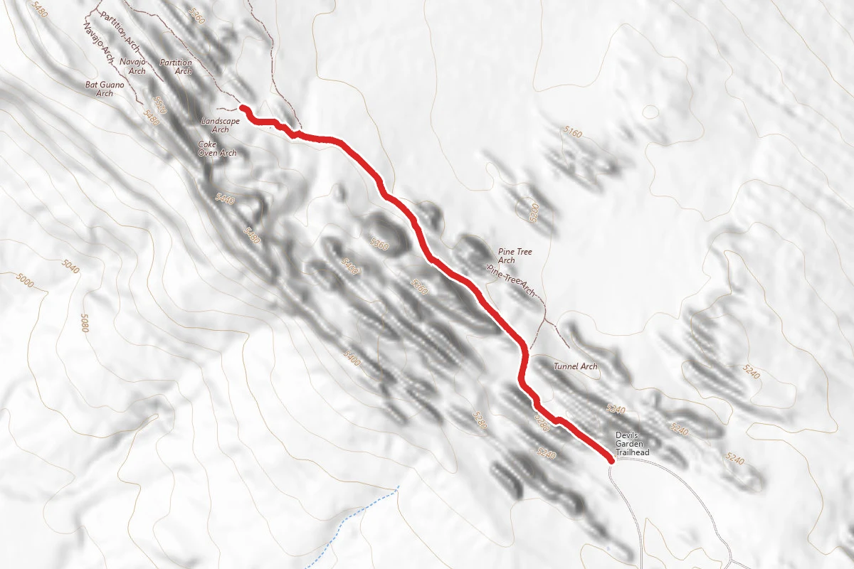
1.8 mi
Distance
39 ft
Elev. Gain
44m
Est. Time
Out & Back
Route Type
Easy
Difficulty
About This Trail
Source: National Park Servicenps.govchecked Jul 24, 2026
Trail Conditions
Trail Conditions
Updated Jul 24, 2026 — may be out of date
No recent condition reports. Be the first to share what you see on the trail.
Trail Details
- No dogs
- Route Type
- Out & Back
- Surface
- Dirt
Official sources & verification
Managed by National Park Service
Source of truth
- Agency source page
The page our published rules and notes are derived from.
- National Park Service unit page
Alerts, conditions, and the unit's plan-your-visit page.
Where it is
- Nearest town:
- Thompson Springs, UT · about 13 mi away
- County:
- Grand County, UT
- Jurisdiction:
- Arches National Park · National Park Service
Nearest town and county from U.S. Census Bureau place records and county boundaries.
Verify by phone or mail
- Operator:435-719-2299
- Address:5 miles north of Moab, Utah, on US 191 · Moab, UT · 84532
Reviews
No reviews yet
Be the first to share your experience and help others plan their visit.
Imported route
Nearby Trails
More trails near Landscape Arch Trail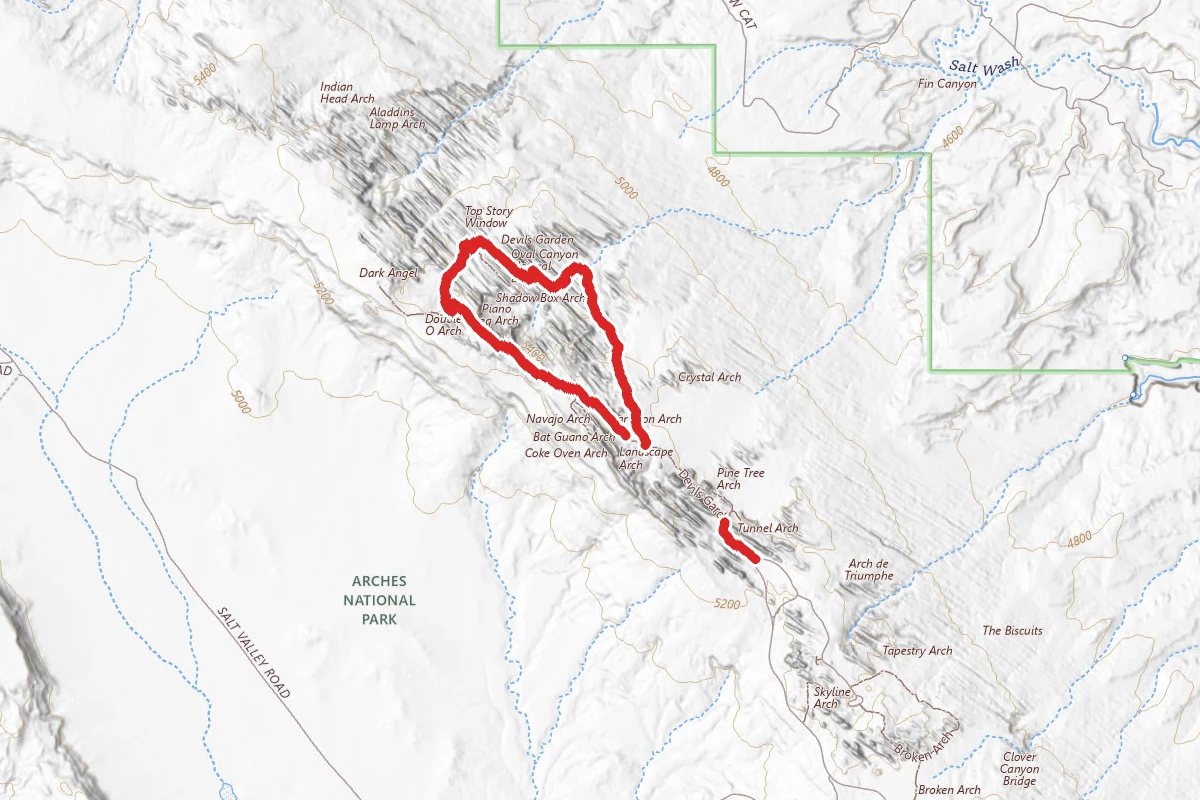
Devils Garden Primitive Loop
0.0 mi away

Pine Tree Arch
0.2 mi away

Devils Garden
0.2 mi away
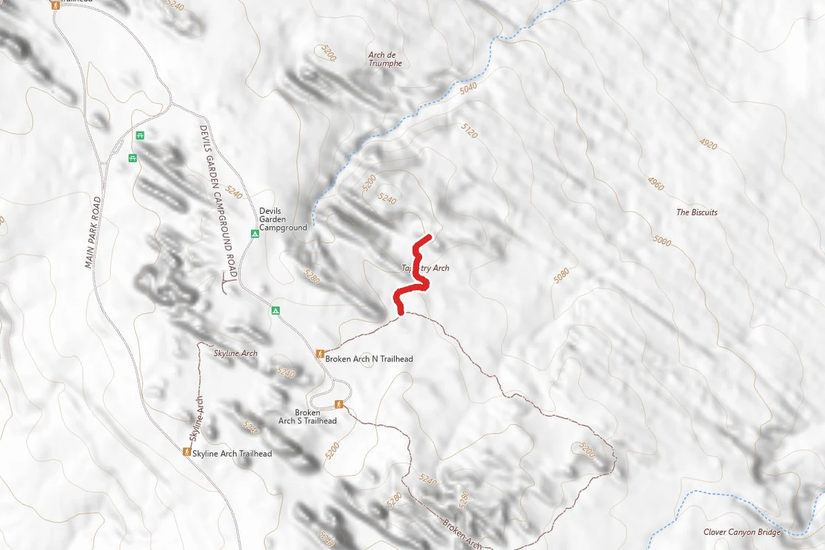
Tapestry Arch
0.8 mi away
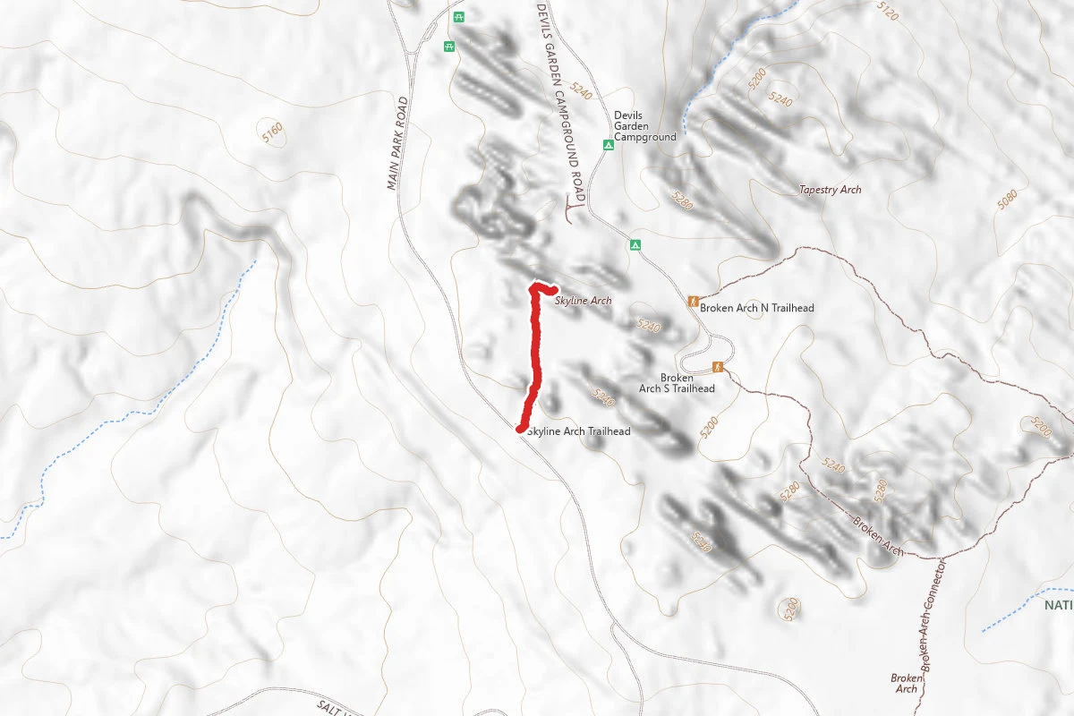
Skyline Arch
0.8 mi away
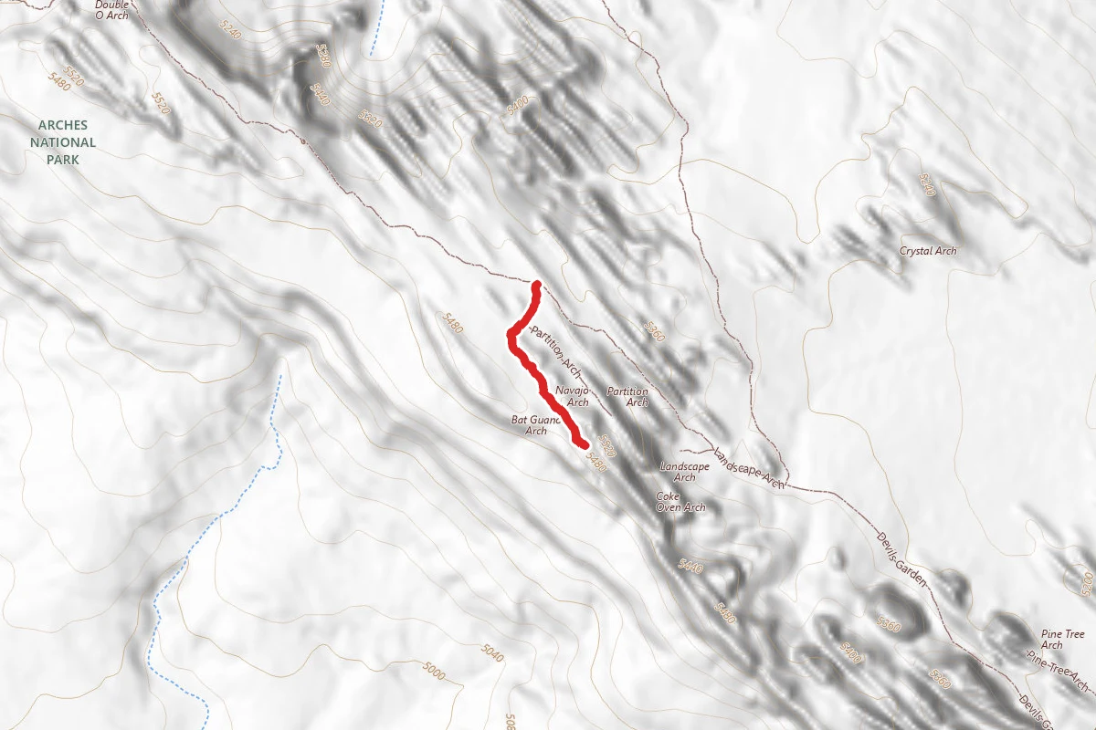
Navajo Arch
1.1 mi away
In this park
Other trails in Arches National Park
Delicate Arch Trail
Utah
Devils Garden Primitive Loop
Utah
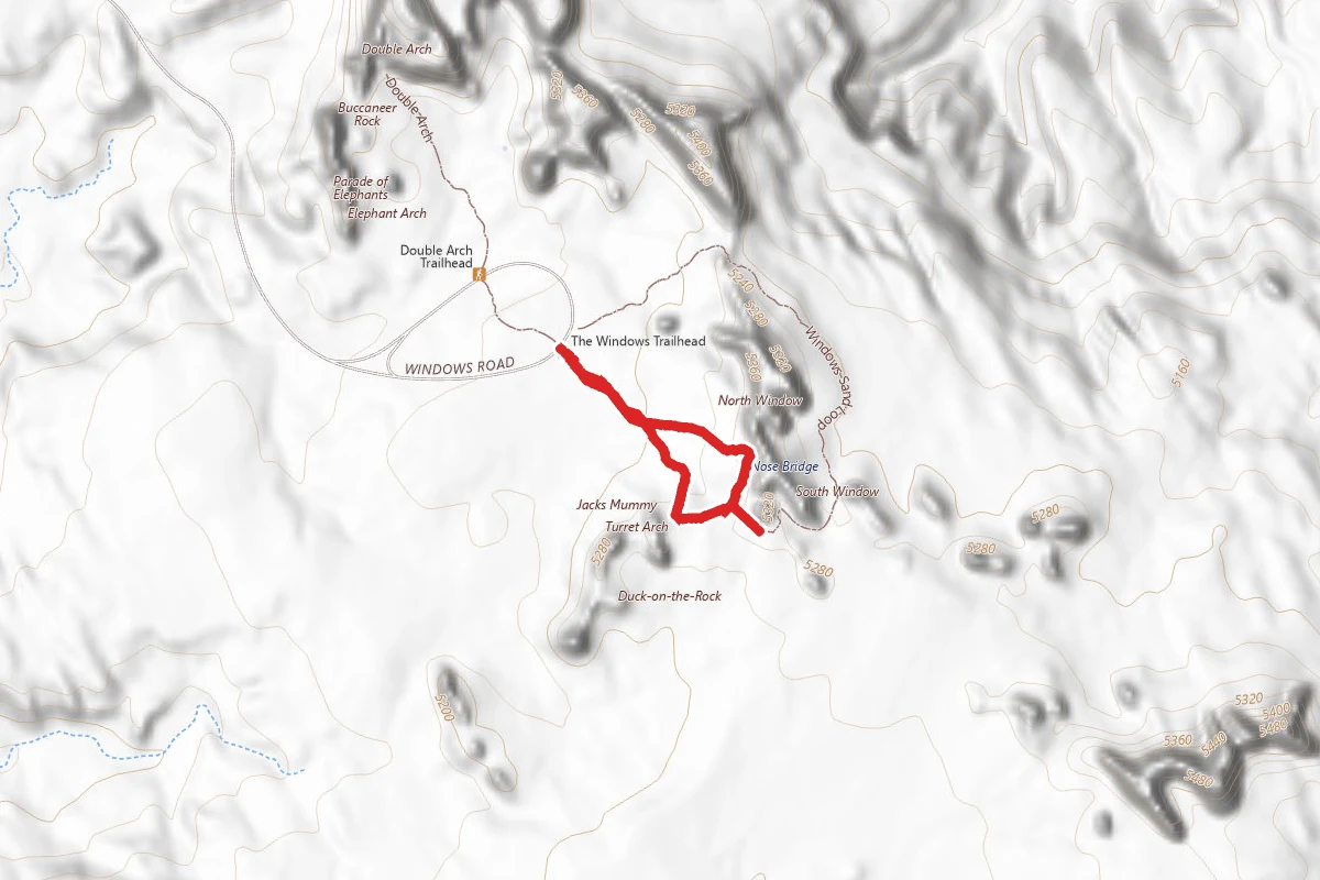
Windows Loop Trail
Utah
Fiery Furnace
Utah
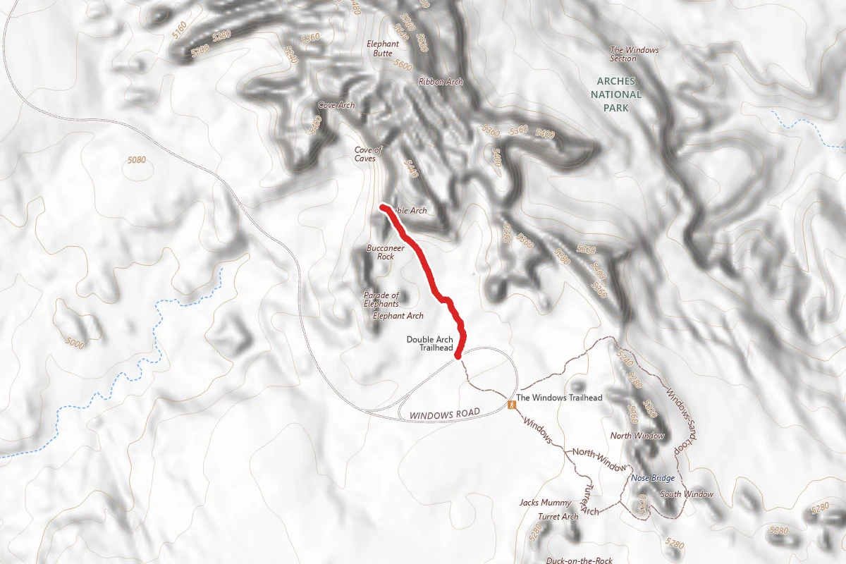
Double Arch Trail
Utah
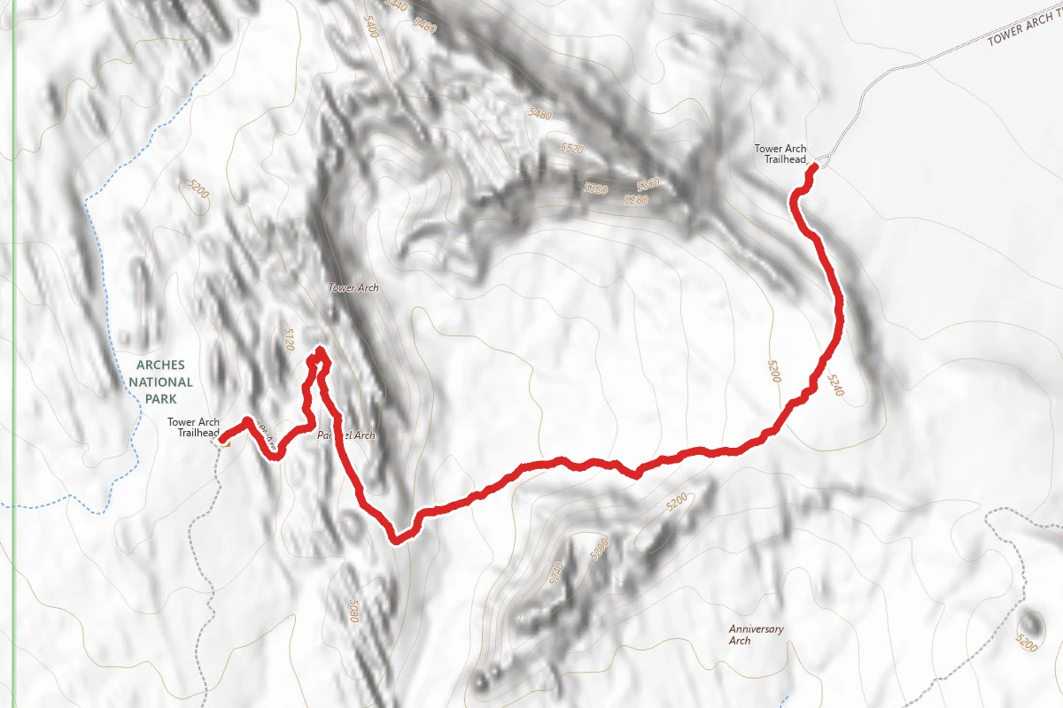
Tower Arch Trail
Utah
Stay nearby
Campgrounds near this trail
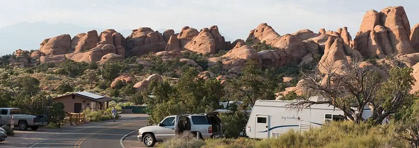
Devils Garden Campground
0.6 mi awayArches National Park
Moab, UT
Check official pricing57 sitesNational Park Reservable TentRV Very popular Major Issues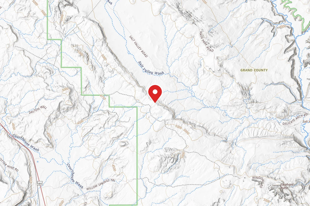
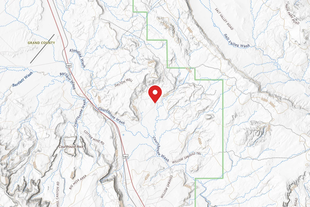
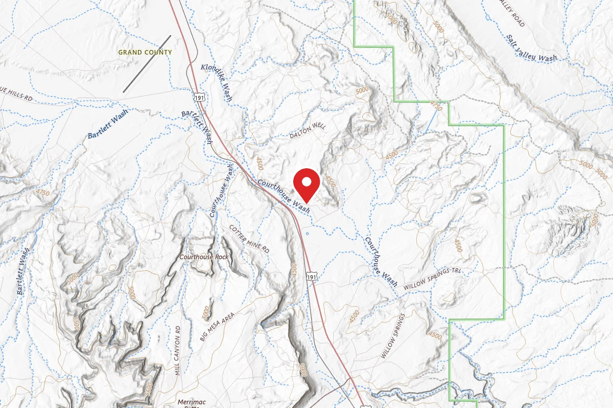
Dispersed Camping Outside of Moab - Sovereign Lands
7.3 mi awayMoab, UT
Pricing varies — check with the operatorDispersed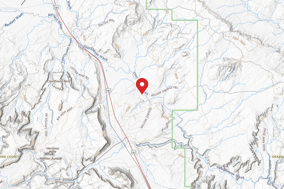
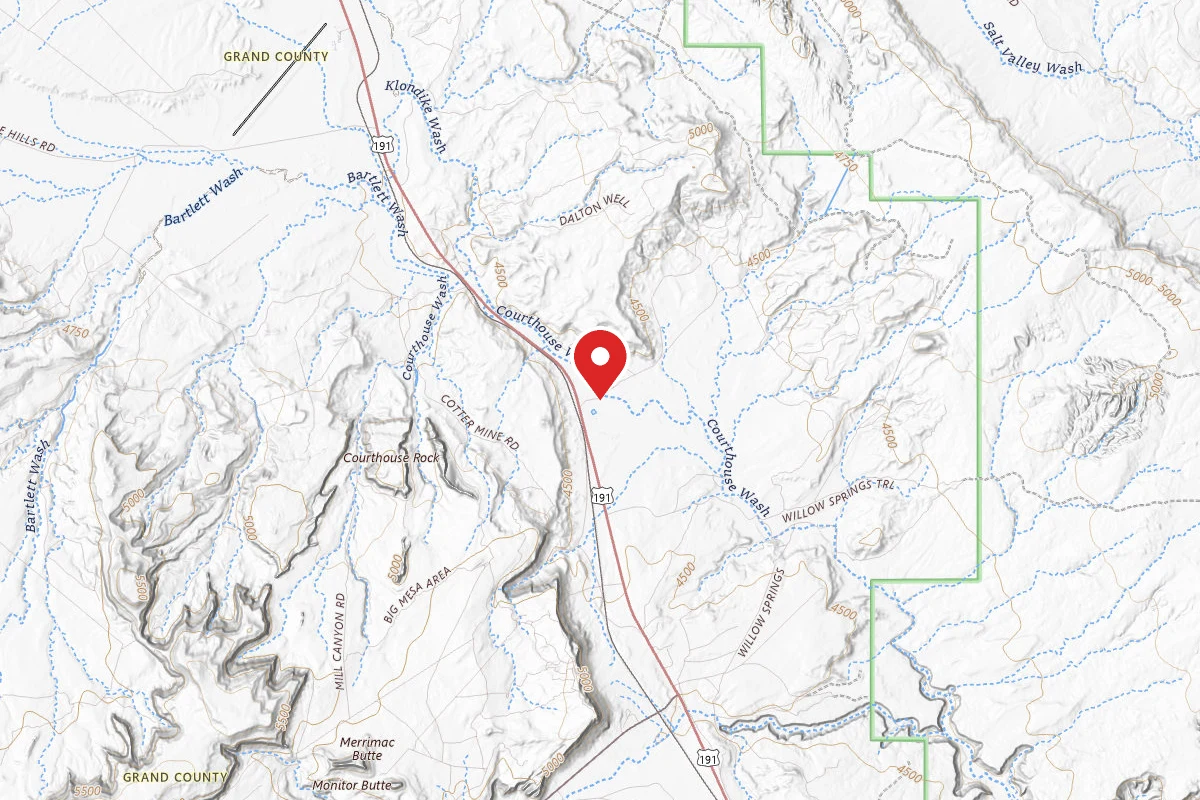
Dalton Wells Student Trust Land - Dispersed
7.5 mi awayUtahraptor State Park
Moab, UT
Dispersed
Similar length
Similar trails in Utah
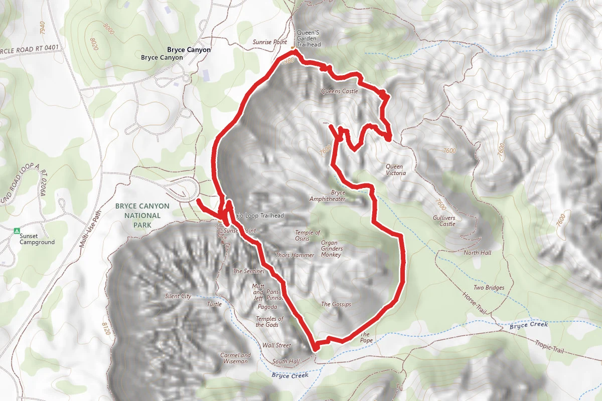
Navajo Loop and Queen's Garden Trail
Utah
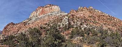
Canyon Overlook Trail
Utah
Fiery Furnace
Utah
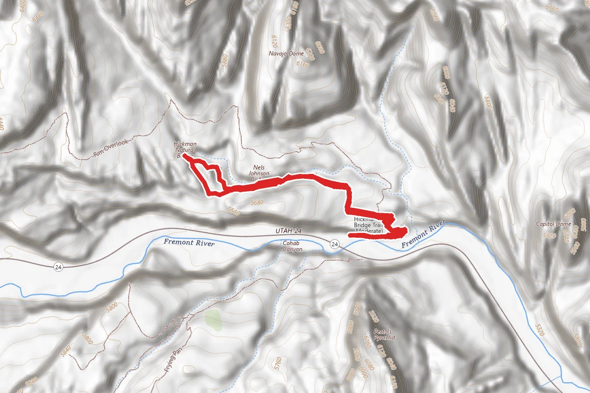
Hickman Bridge Trail
Utah
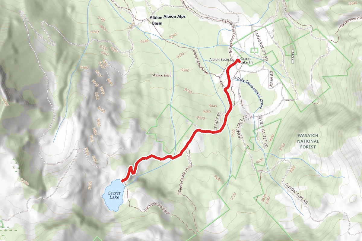
Cecret Lake Trail
Utah
Queens Garden to Navajo Loop
Utah