Long-distance trails worth a year of planning
The most-walked thru-hikes in the United States — the Triple Crown plus the iconic loops, regional long trails, and section-hike classics. Verified termini and agency links so you can plan from a real source, not a forum post.
Not filterable: 14 of 27 adventures have no verified permit requirement on record (we hold one for 13). Each show page links the issuing agency.
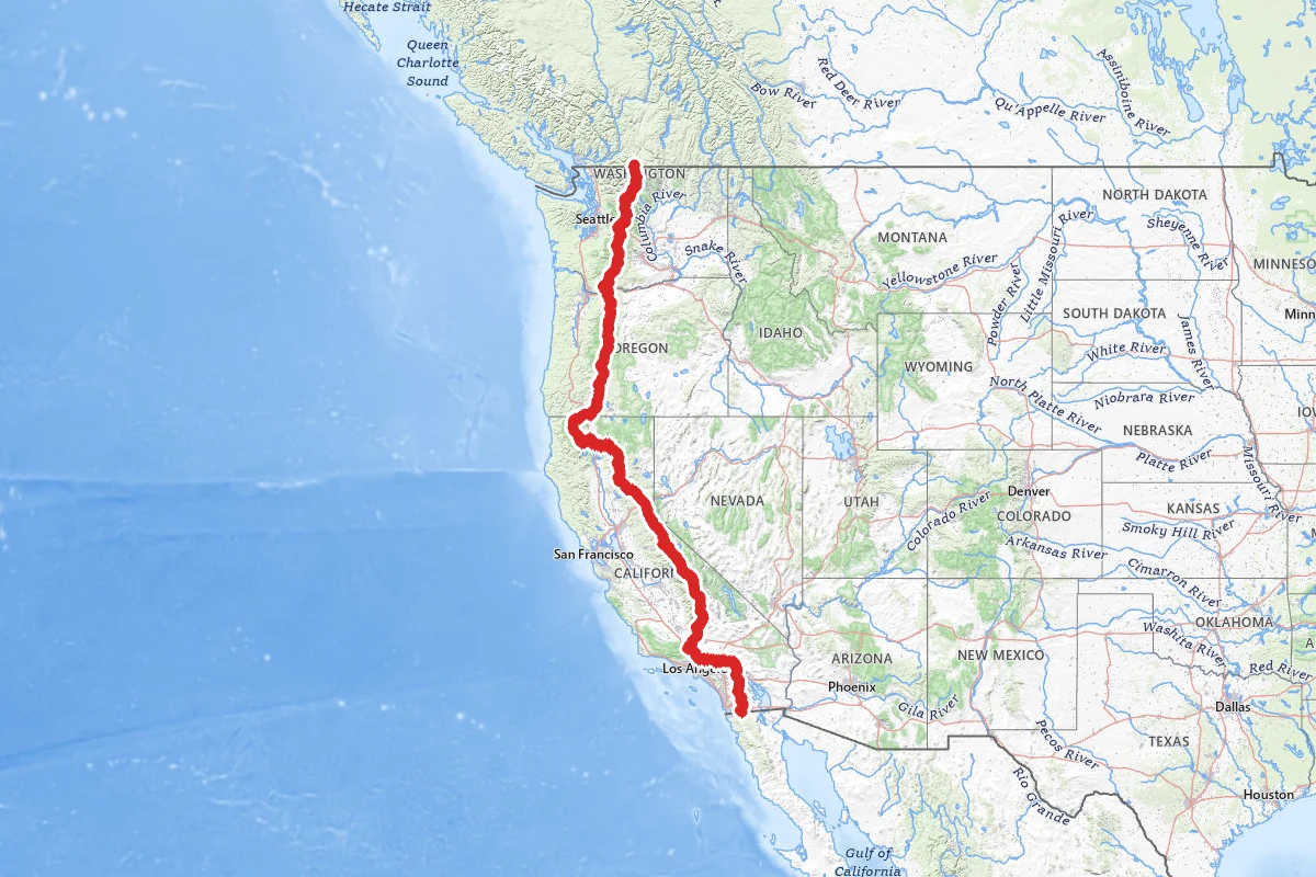
Pacific Crest Trail
The Pacific Crest Trail is 2,650 miles long. It runs from the Mexican border near Campo to the Canadian border in Washington, through California, Oregon and Washington. It is open to foot and horse...
2,650 mi · 120–180 days · CA, OR, WA
Route mapped · 519 verified points
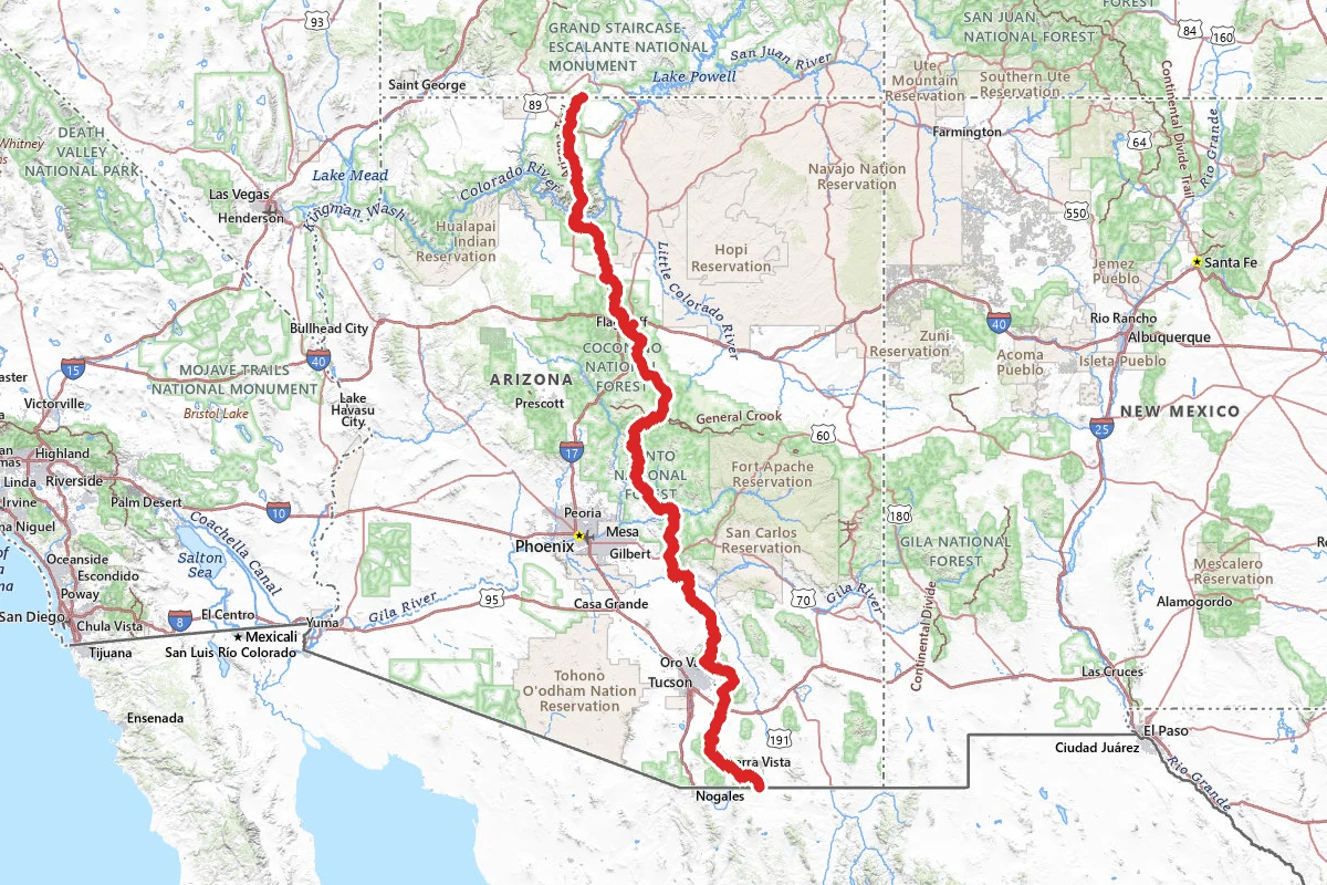
Arizona National Scenic Trail
The Arizona National Scenic Trail runs the length of the state, from the U.S.-Mexico border at Coronado National Memorial to the Utah border. The Forest Service puts it at over 800 miles. It is...
800 mi · 42–56 days · AZ
Route mapped · 139 verified points
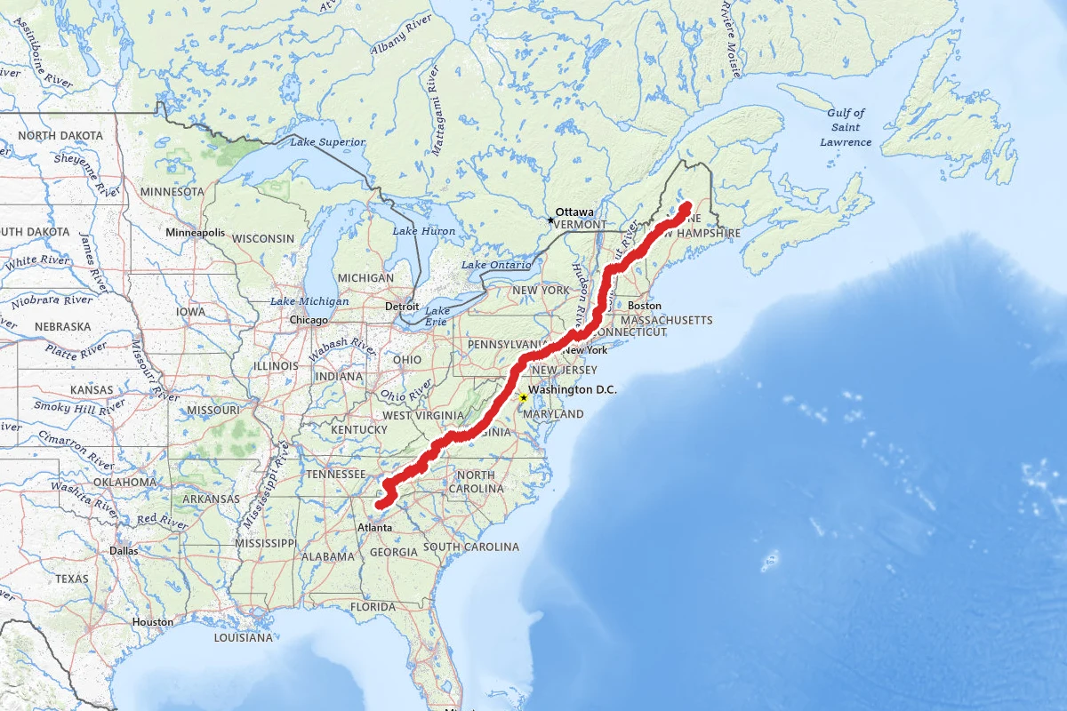
Appalachian Trail
The Appalachian Trail runs through 14 states from Springer Mountain in Georgia to Katahdin in Maine. It is just under 2,200 miles, and the Appalachian Trail Conservancy updates the exact length...
2,198 mi · 150–210 days · GA, NC, TN +11
Route mapped · 94 verified points
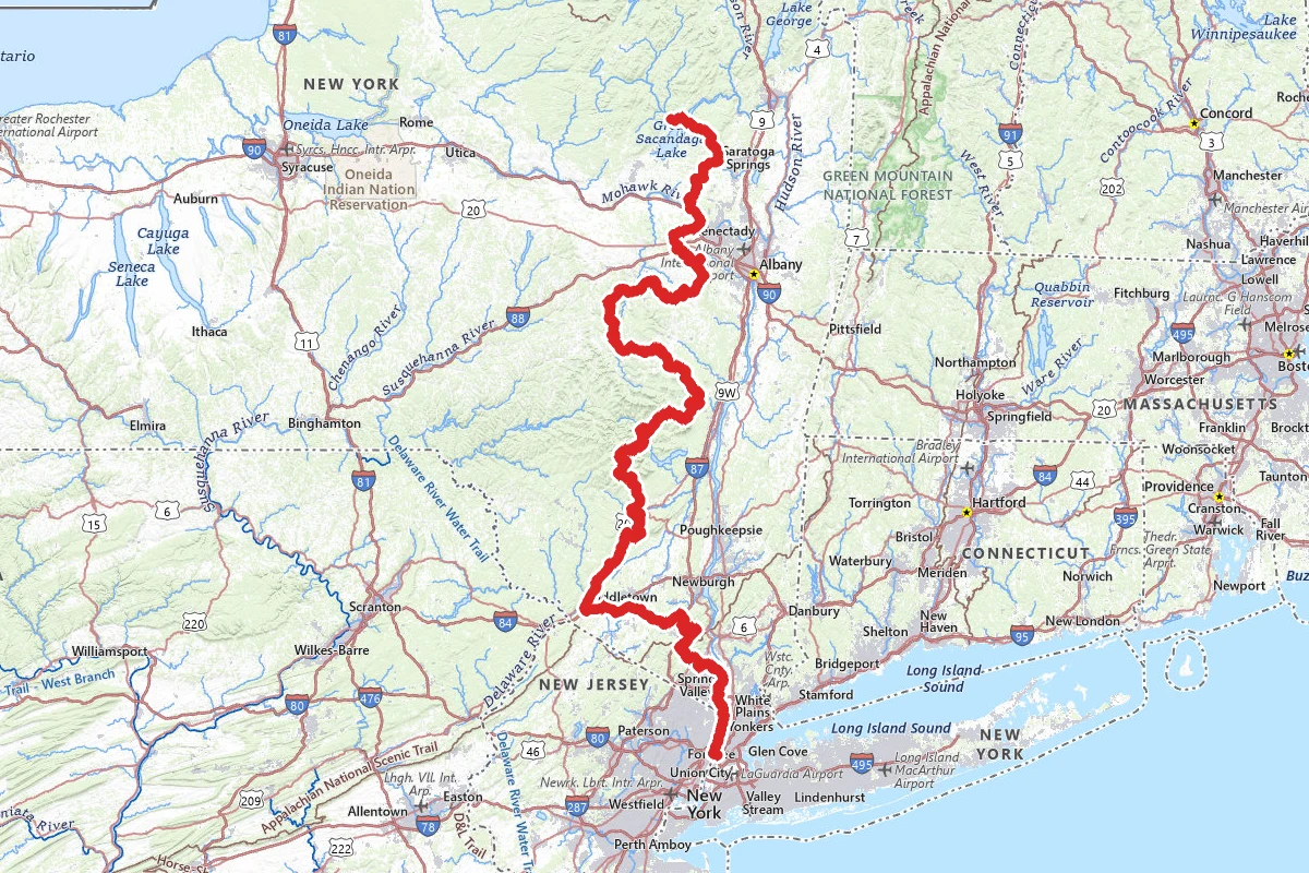
Long Path
The Long Path runs 358 miles from the George Washington Bridge in New York City to upstate New York, by the count of the New York-New Jersey Trail Conference. It starts at the 175th Street subway...
358 mi · 24–27 days · NY, NJ
Route mapped · 79 verified points
John Muir Trail
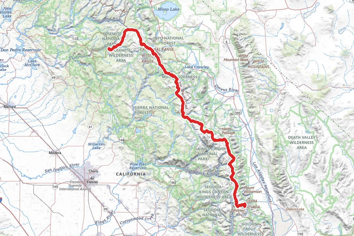
The John Muir Trail runs 211 miles from Yosemite Valley to the summit of Mount Whitney, the highest point in the contiguous United States, according to the National Park Service. For most of its...
211 mi · 18–25 days · CA
Route mapped · 64 verified points
Pinhoti Trail
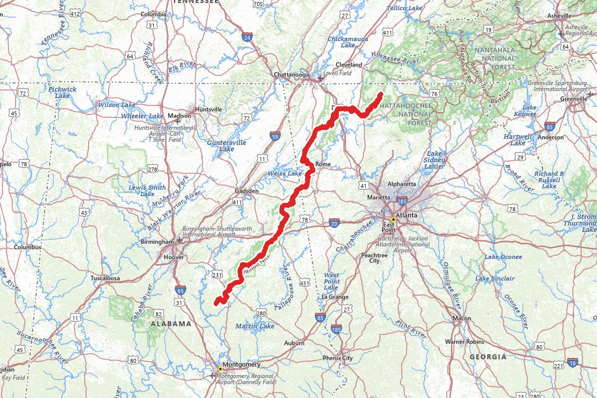
The Pinhoti Trail starts on Flagg Mountain in Alabama, and runs north through the Talladega National Forest and into Georgia. It ends where it meets the Benton MacKaye Trail on the South Fork of Jacks...
335 mi · AL, GA
Route mapped · 54 verified points
Long Trail
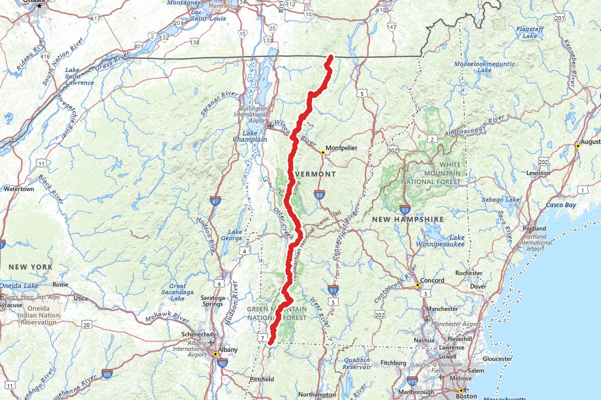
The Long Trail runs 272 miles along the spine of Vermont's Green Mountains, from the Massachusetts border to the Canadian border. The Green Mountain Club (GMC) looks after it. Volunteers built it...
272 mi · 14–30 days · VT
Route mapped · 45 verified points
Tahoe Rim Trail
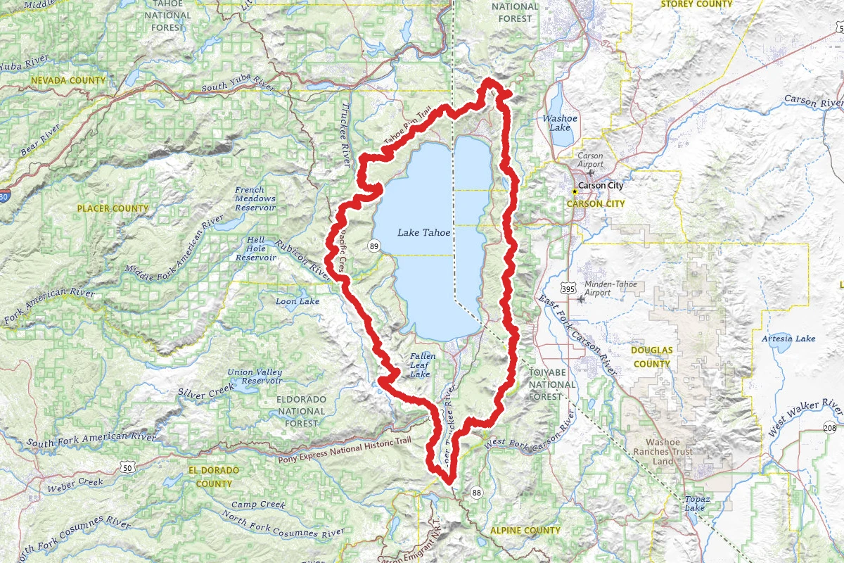
The Tahoe Rim Trail is a loop around the ridge lines of the Lake Tahoe Basin. The Forest Service puts it at about 166.6 miles, and the trail association says the mileage changes year to year as...
166.6 mi · 7–14 days · CA, NV
Route mapped · 46 verified points
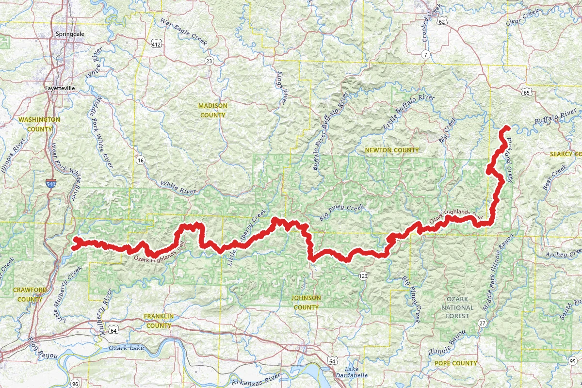
Ozark Highlands Trail
The Ozark Highlands Trail crosses northern Arkansas. It starts at Lake Fort Smith State Park on Arkansas 71 and runs east through the Ozark National Forest, along the Buffalo National River, and on...
207 mi · AR
Route mapped · 21 verified points
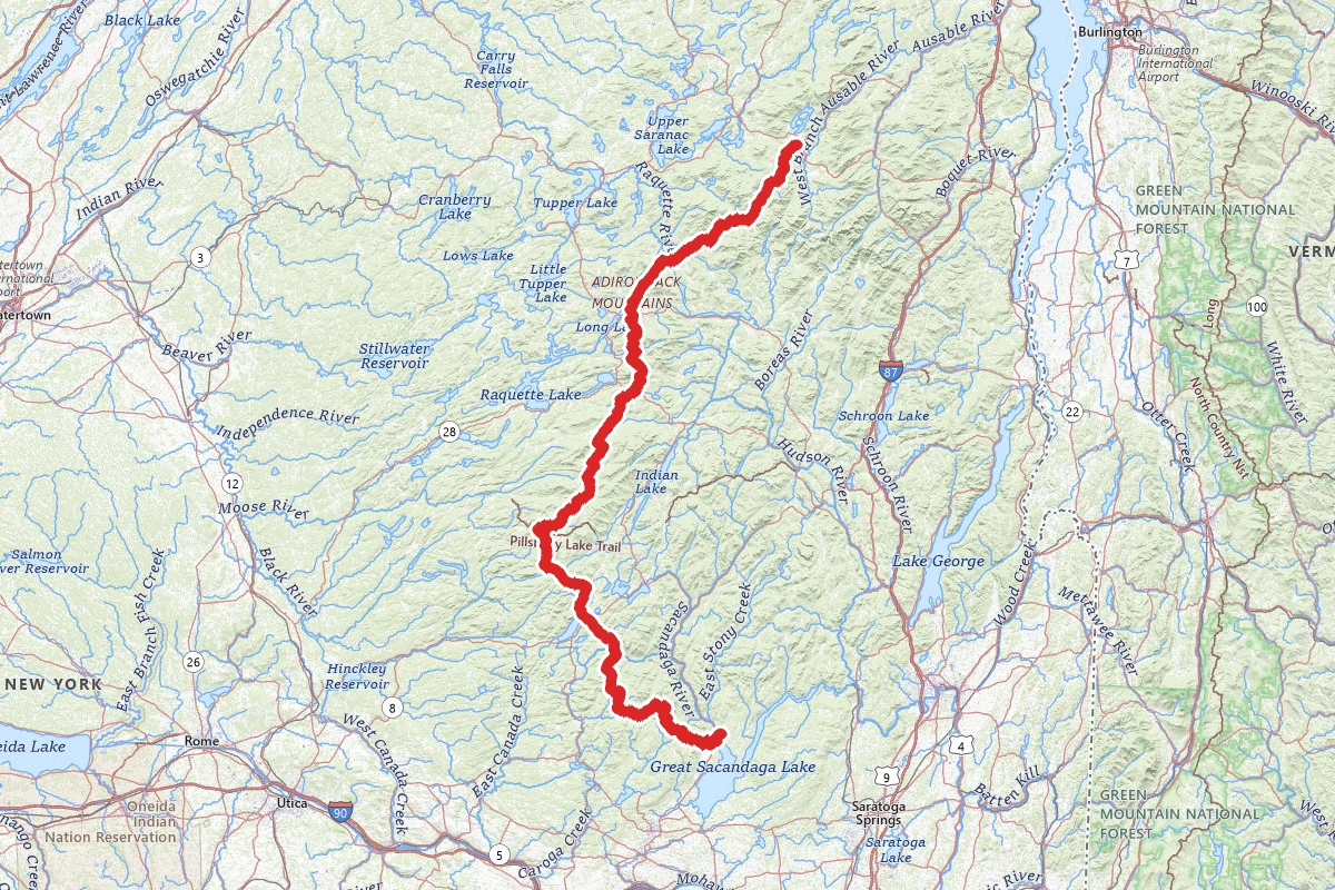
Northville-Placid Trail
The Northville-Placid Trail crosses the Adirondack Park in New York, from Northville in the south to Lake Placid in the north. The Adirondack Mountain Club's trail chapter gives it as about 136...
136 mi · NY
Route mapped · 13 verified points
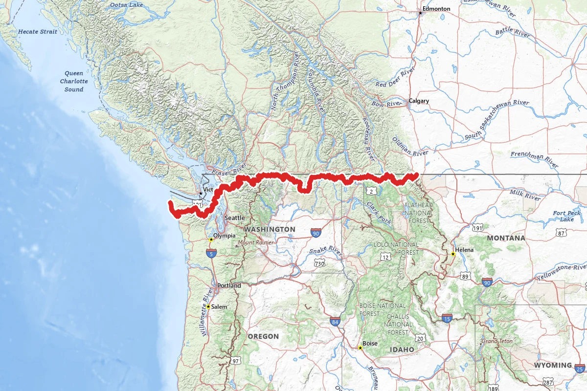
Pacific Northwest Trail
The Pacific Northwest Trail runs about 1,200 miles from the Chief Mountain customs parking area in Glacier National Park, Montana, to Cape Alava in Olympic National Park, Washington. It crosses...
1,200 mi · 60–75 days · MT, ID, WA
Route mapped · 7 verified points
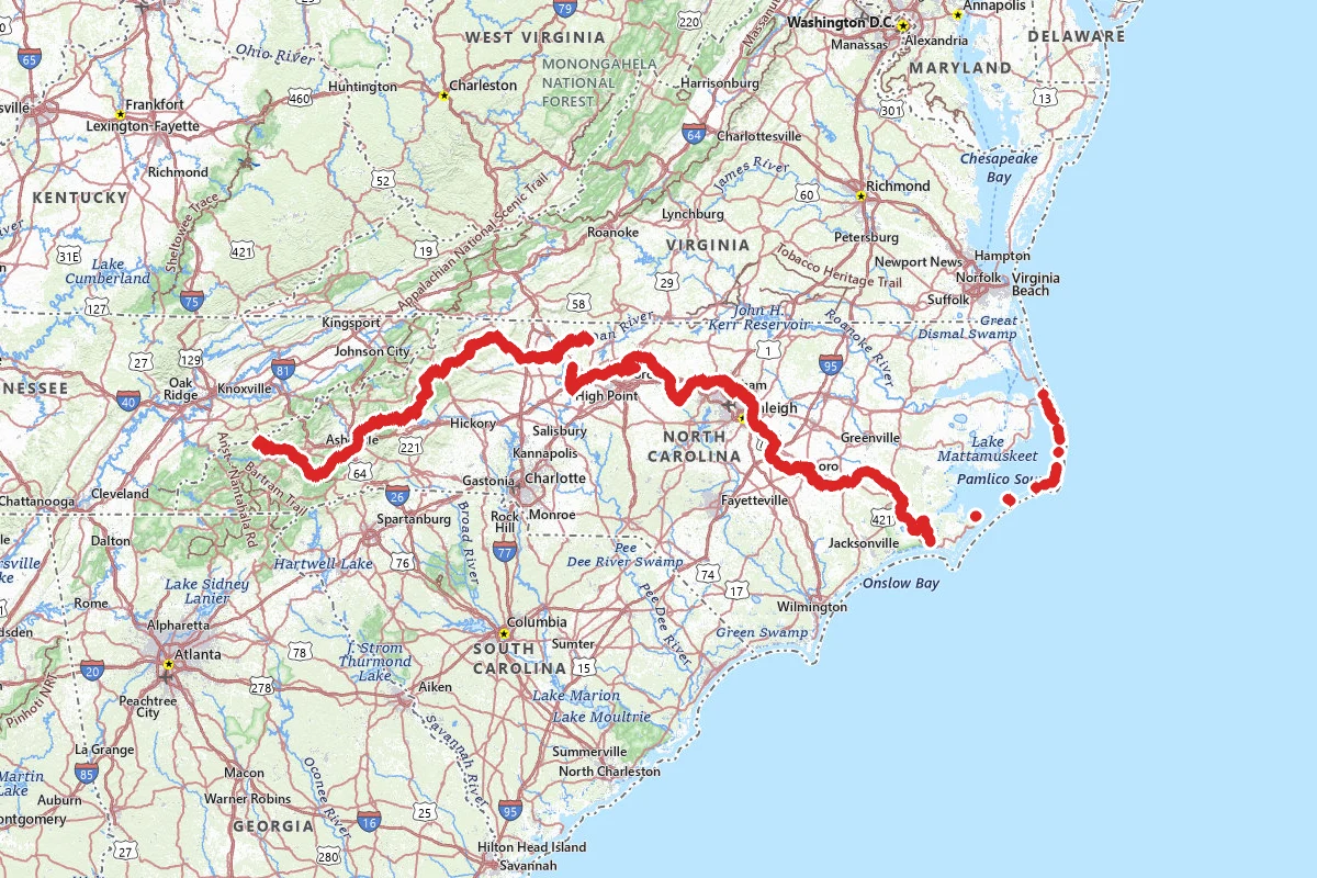
Mountains-to-Sea Trail
The Mountains-to-Sea Trail crosses North Carolina from Kuwohi, on the Tennessee line in Great Smoky Mountains National Park, to Jockey's Ridge State Park on the Outer Banks. Friends of the...
1,175 mi · 23–30 days · NC
Route mapped · 4 verified points
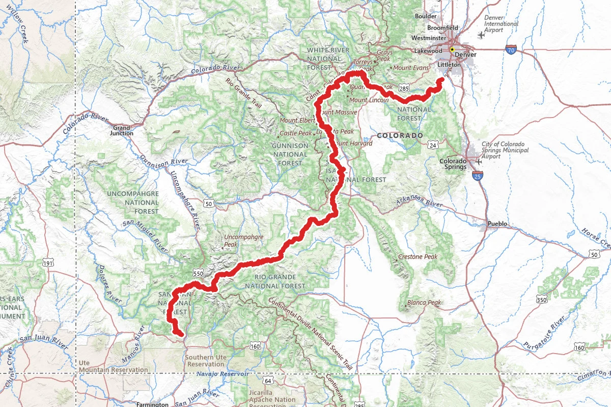
Colorado Trail
The Colorado Trail runs between Denver and Durango through eight mountain ranges and six wilderness areas, and shares more than 300 miles with the Continental Divide Trail. The Colorado Trail...
485 mi · 28–42 days · CO
Route mapped · 4 verified points
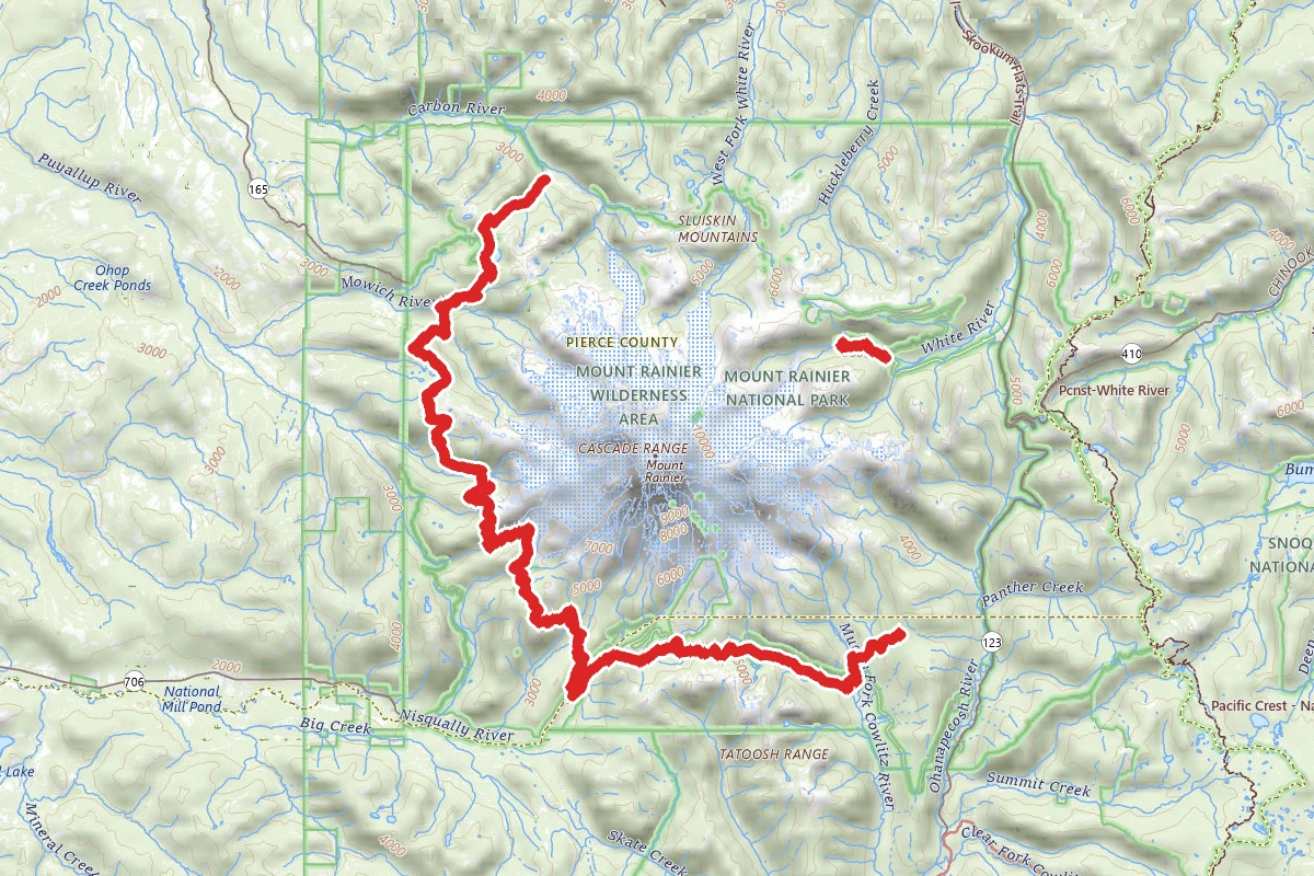
Wonderland Trail
The Wonderland Trail is about 93 miles long and goes all the way around Mount Rainier inside Mount Rainier National Park. The Park Service calls it a strenuous hike: about 27,000 feet of climbing...
93 mi · 10–14 days · WA
Route mapped · 7 verified points
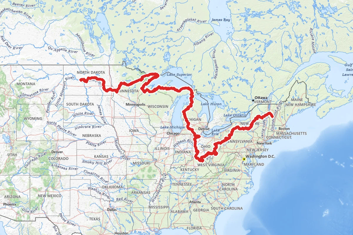
North Country National Scenic Trail
The North Country National Scenic Trail runs from the Appalachian Trail in Vermont to the vicinity of Lake Sakakawea in North Dakota, across eight states: Vermont, New York, Pennsylvania, Ohio,...
4,600 mi · ND, MN, WI +5
Route mapped · 2 verified points

Continental Divide Trail
The Continental Divide Trail runs some 3,100 miles from the Mexican border to the Canadian border. It crosses New Mexico, Colorado and Wyoming, follows the Idaho-Montana line, then ends in Montana....
3,100 mi · 150–180 days · NM, CO, WY +2
Route mapped · 3 verified points
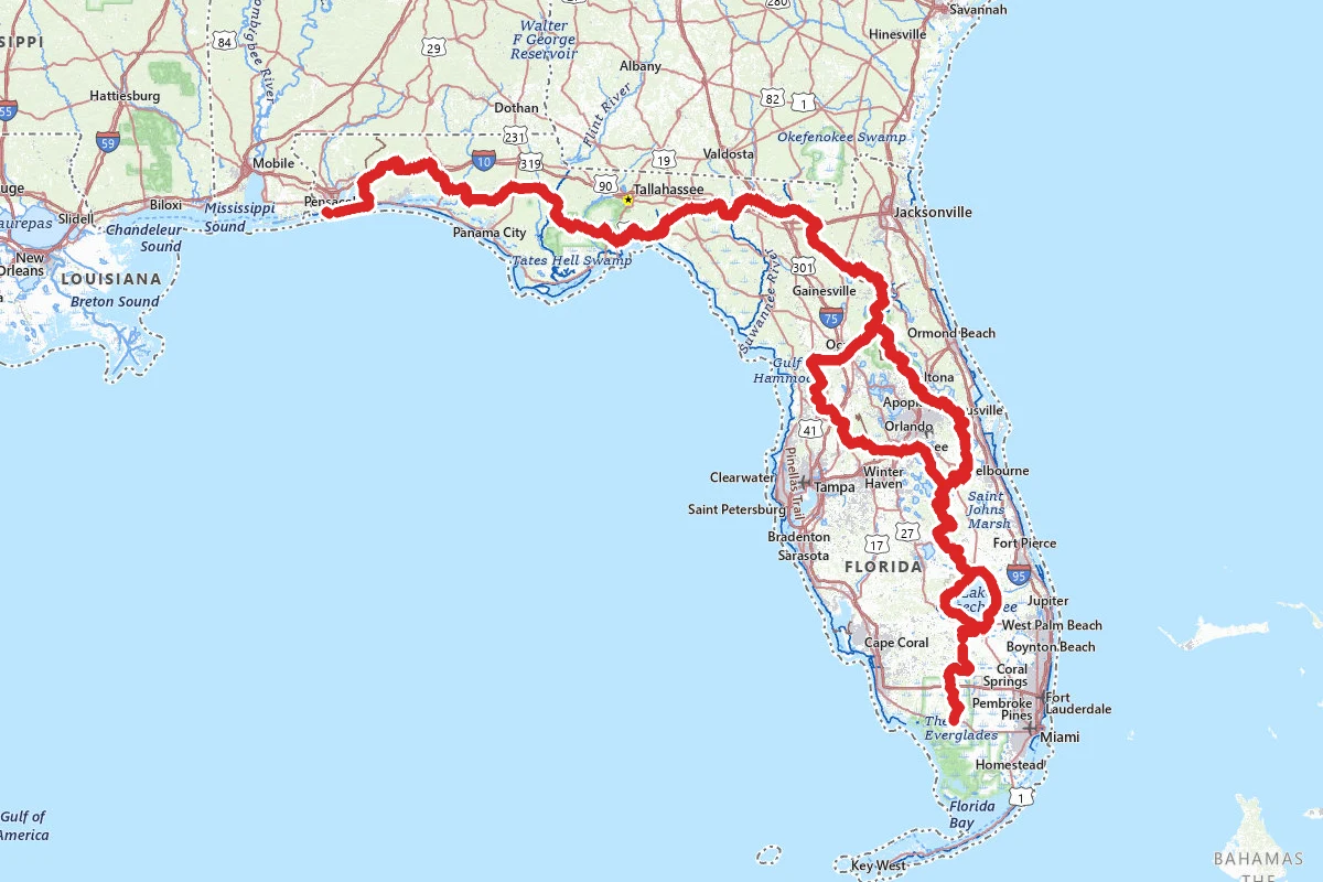
Florida National Scenic Trail
The Florida National Scenic Trail runs from Big Cypress National Preserve in the south to Gulf Islands National Seashore at the western end of the Panhandle. The Forest Service administers it....
1,500 mi · FL
Route mapped · 2 verified points
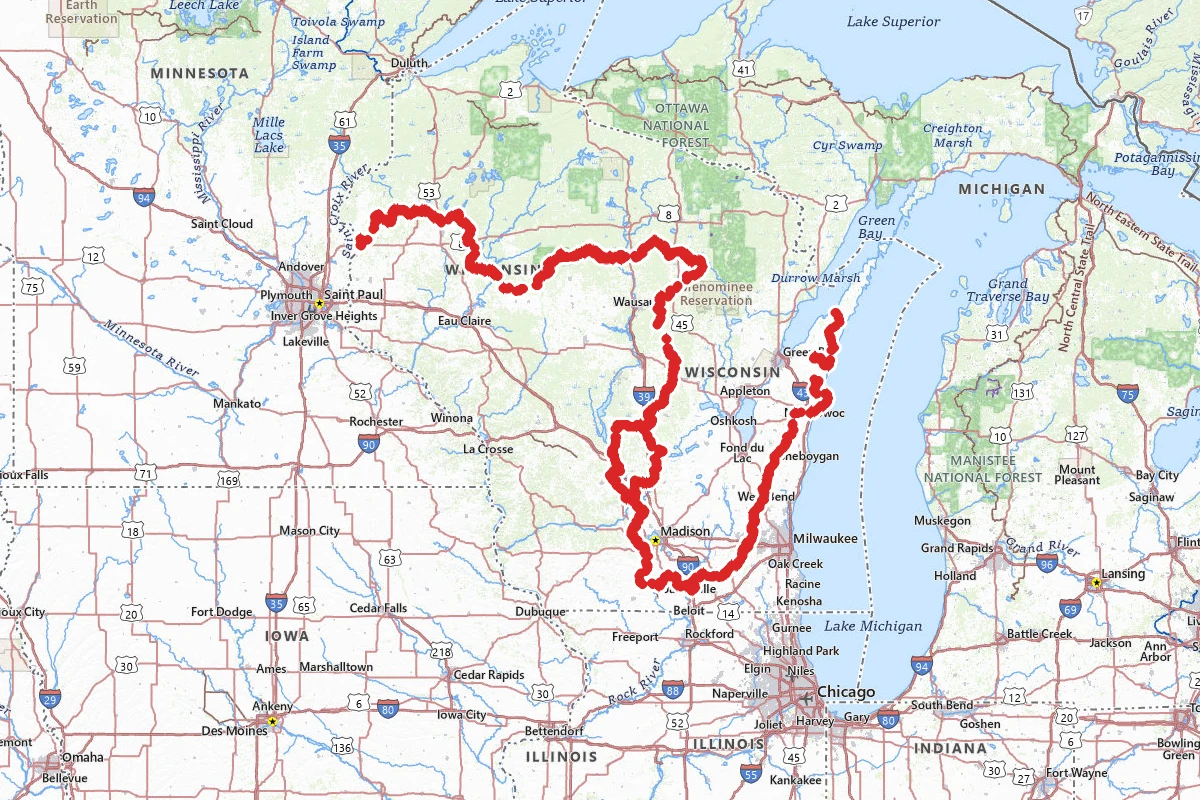
Ice Age National Scenic Trail
The Ice Age National Scenic Trail is a footpath across Wisconsin. The National Park Service calls it a 1,200-mile trail. It runs from Interstate State Park in St. Croix Falls on the western border...
1,200 mi · 49–84 days · WI
Route mapped · 2 verified points
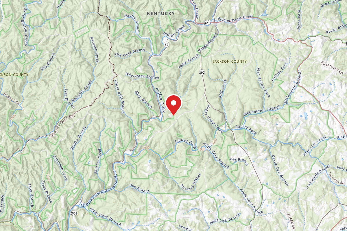
Sheltowee Trace
The Sheltowee Trace is a National Recreation Trail that runs south through Kentucky into Tennessee. The Sheltowee Trace Association gives its length as 343 miles, from the northern boundary of the...
343 mi · 21–30 days · KY, TN
Route mapped · 2 verified points
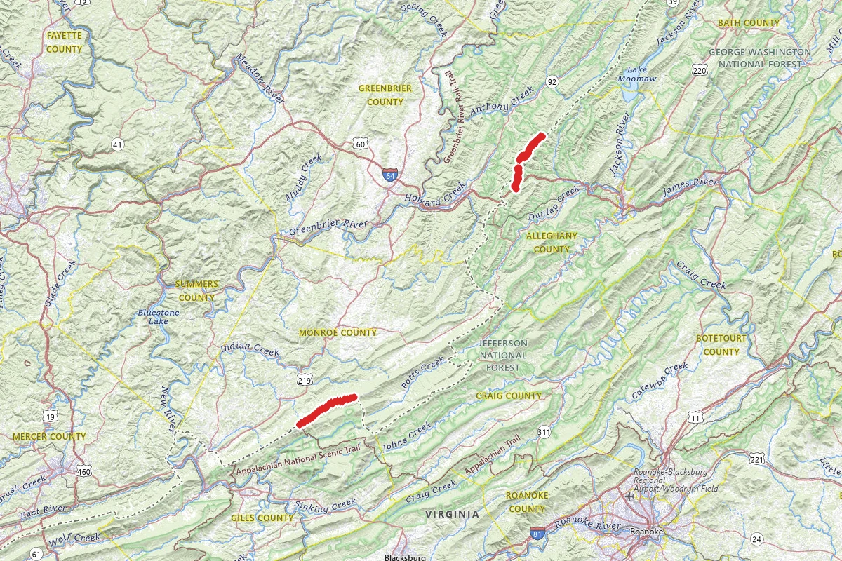
Allegheny Trail
The Allegheny Trail runs south from the Mason-Dixon Line near Bruceton Mills, West Virginia, to the Appalachian Trail on Peters Mountain at the Virginia line. The West Virginia Scenic Trails...
316 mi · 25–35 days · WV
Route mapped · 3 verified points

Benton MacKaye Trail
The Benton MacKaye Trail runs 287.6 miles through the southern Appalachians, from Springer Mountain in Georgia to Big Creek in Great Smoky Mountains National Park. That is the Benton MacKaye Trail...
287.6 mi · GA, TN, NC
Route mapped · 179 verified points

Bartram Trail
The Bartram Trail is a National Recreation Trail that follows the naturalist William Bartram's route through the southern mountains. It starts in Georgia on the Chattooga River, at the Georgia end...
112 mi · 6–10 days · GA, NC
Route mapped · 19 verified points
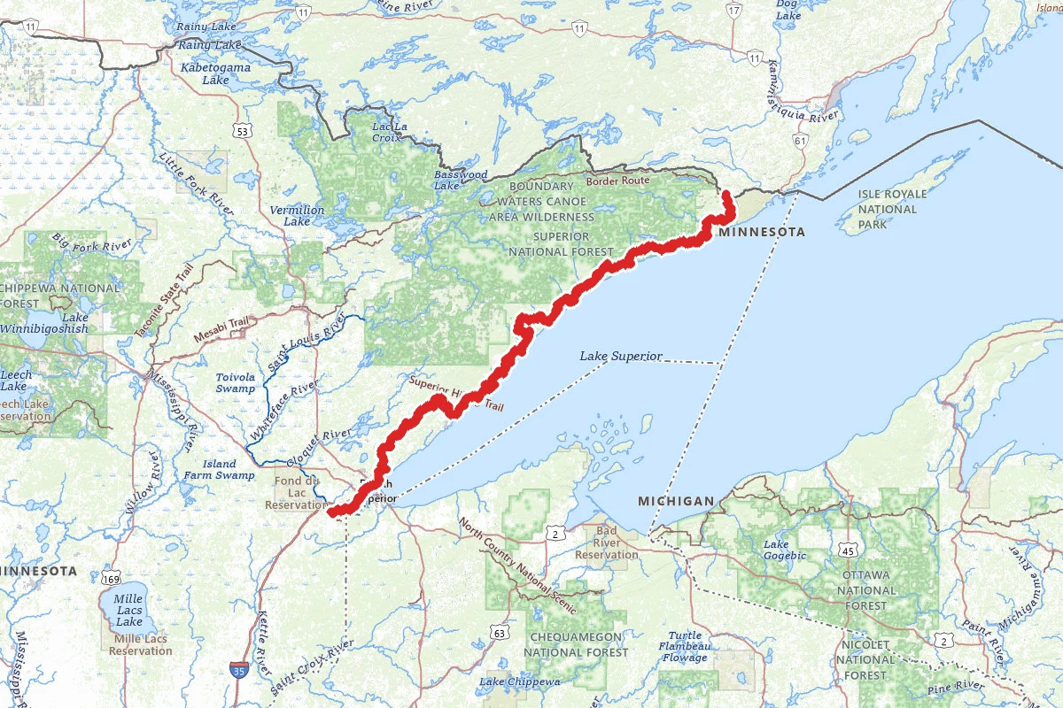
Superior Hiking Trail
The Superior Hiking Trail runs through northeastern Minnesota along the North Shore of Lake Superior. It starts south of Duluth and ends at the 270-degree Overlook near the Canadian border. The...
300 mi · 12–14 days · MN
Route mapped
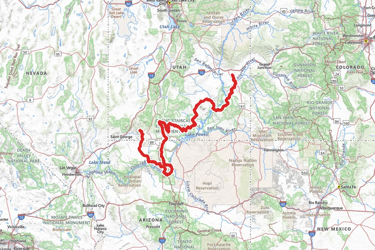
Hayduke Trail
796 mi
Route mapped
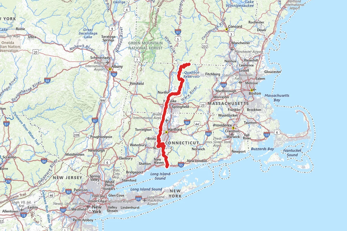
New England Trail (NET)
207.3 mi
Route mapped
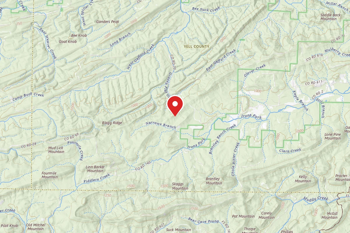
Ouachita Trail
The Ouachita National Recreation Trail runs 223 miles through the Ouachita Mountains of Oklahoma and Arkansas, by the count of the Friends of the Ouachita Trail. It starts at Talimena State Park in...
223 mi · OK, AR
We have no route line for this trail yet
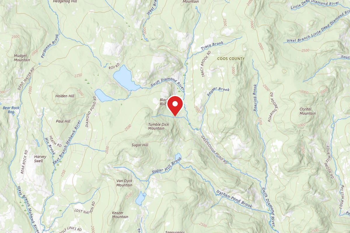
Cohos Trail
The Cohos Trail runs north through Coos County, New Hampshire. It starts in southern Crawford Notch in the White Mountain National Forest, crosses the Great North Woods, and ends at the Canadian...
170 mi · 9–14 days · NH
We have no route line for this trail yet