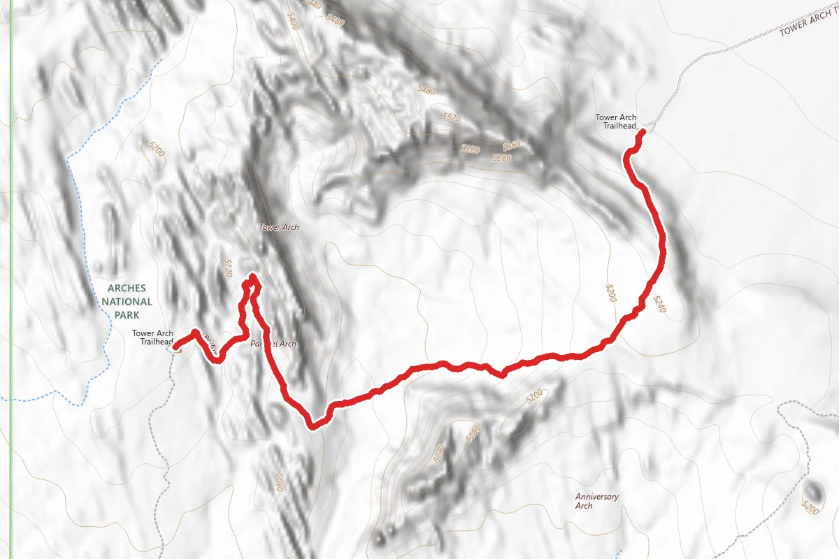
DifficultOut and Back
2.6 mi
Distance
289 ft
Elev. Gain
1h 11m
Est. Time
Out & Back
Route Type
Difficult
Difficulty
About This Trail
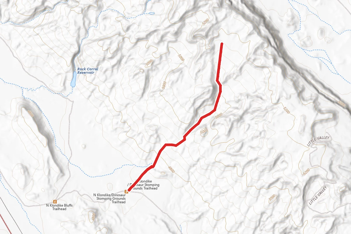
In the seldom-visited Klondike Bluffs area, this trail climbs a steep rock wall, cuts across a valley, and then meanders through sandstone fins and sand dunes to Tower Arch, offering solitude rarely found elsewhere in the park. Climbing the sand dunes can be strenuous, and there is little or no shade and no cell service. Reaching the trailhead requires driving about 8 miles on unpaved roads; bring at least two quarts of water per person.
Trail Conditions
Trail Conditions
Open
Updated Today
No recent condition reports. Be the first to share what you see on the trail.
Hazards & Warnings
no shadesteep rock-wall climbdeep sand dunesno cell servicerough unpaved access roadextreme summer heatno water
Trail Details
- No dogs
- Route Type
- Out & Back
- Surface
- Mixed Surface
Official sources & verification
Managed by National Park Service
Source of truth
- Agency source page
The page our published rules and notes are derived from.
- National Park Service unit page
Alerts, conditions, and the unit's plan-your-visit page.
Verify by phone or mail
- Operator:435-719-2299
- Address:5 miles north of Moab, Utah, on US 191 · Moab, UT · 84532
Best Seasons
Highlights
Tower Arch in remote Klondike Bluffssolitude and quietsandstone fins and sand dunespanoramic desert views
Reviews
No reviews yet
Be the first to share your experience and help others plan their visit.
Imported route
Hunt context
This trail crosses hunting units
During hunting seasons, wear blaze orange and check regulations — see the Utah hunting page
In this park
Other trails in Arches National Park

Delicate Arch Trail
Utah
3.0 mi538 ftgain
TrailDifficult
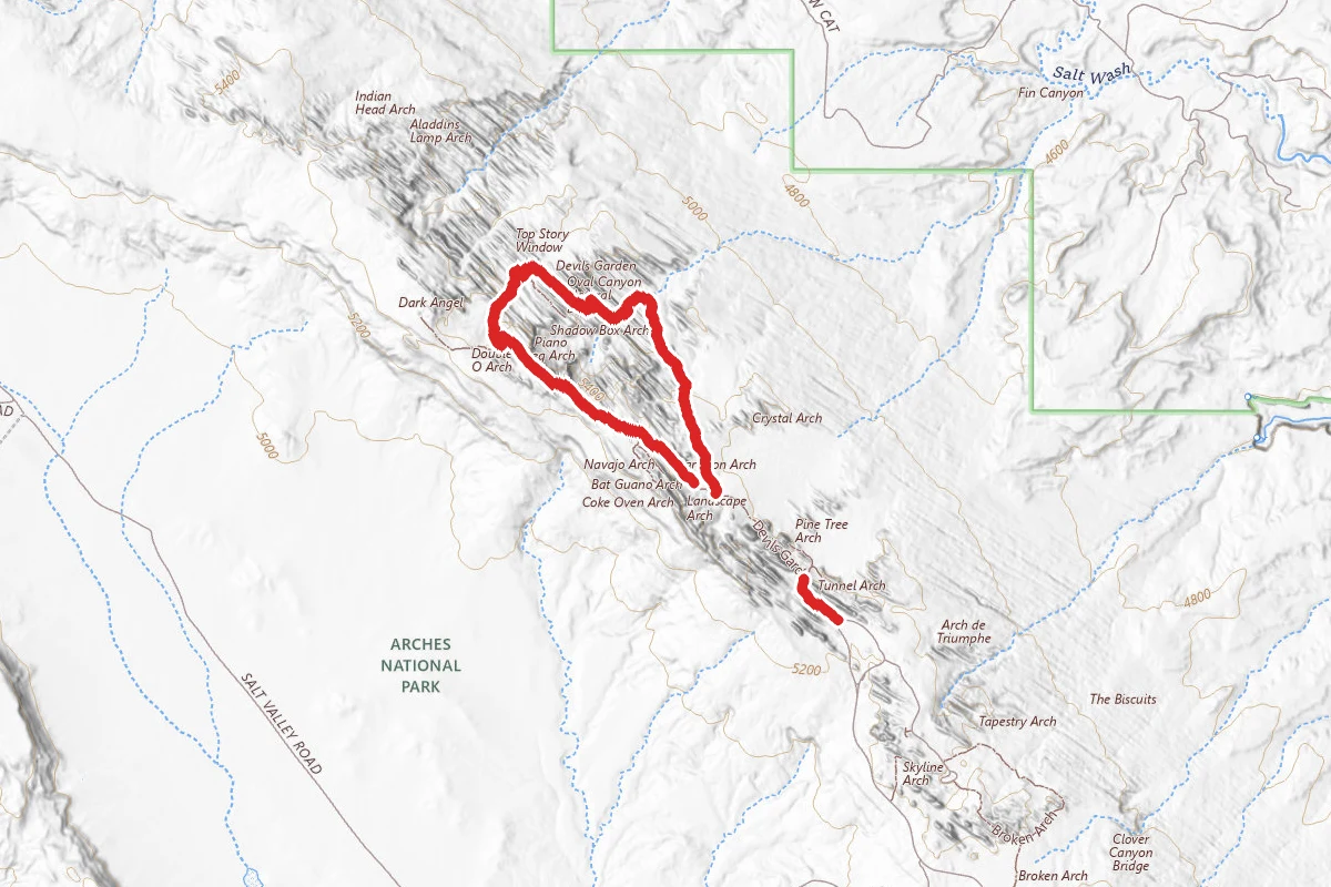
Devils Garden Primitive Loop
Utah
7.9 mi1,099 ftgain
TrailDifficult
.jpg/1280px-Arches_National_Park…pinnacles_of_the_Fiery_Furnace_(6294484466).jpg)
Fiery Furnace
Utah
1.2 mi249 ftgain
TrailModerate Permit
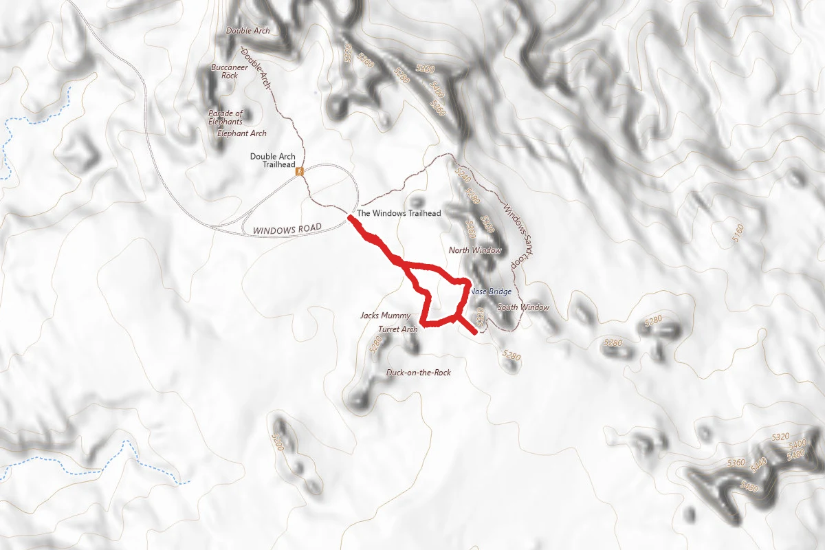
Windows Loop Trail
Utah
0.7 mi131 ftgain
TrailEasy
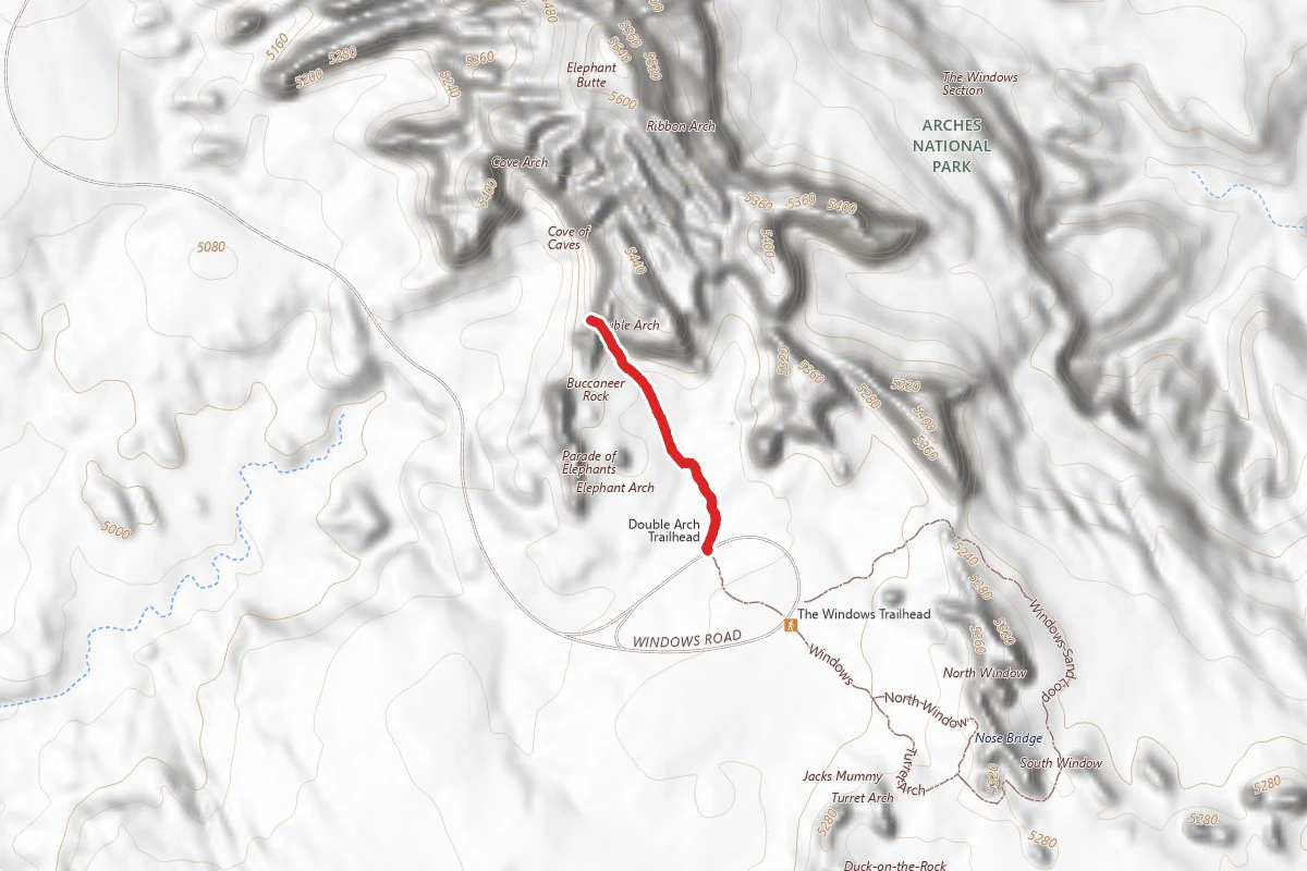
Double Arch Trail
Utah
0.6 mi30 ftgain
TrailEasy
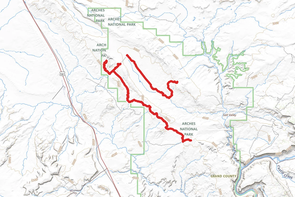
Tower Arch, Marching Men, and Balancing Rock OHV Route
Utah
15.5 mi2,346 ftgain
TrailExpert
Stay nearby
Campgrounds near this trail
UtahRaptor State Park
4.2 mi away · UT
Fallen Peace Officer Dispersed
4.4 mi away · UT
Klondike Bluffs Road Dispersed
4.8 mi away · UT
Dispersed Camping Outside of Moab - Sovereign Lands
4.8 mi away · UT
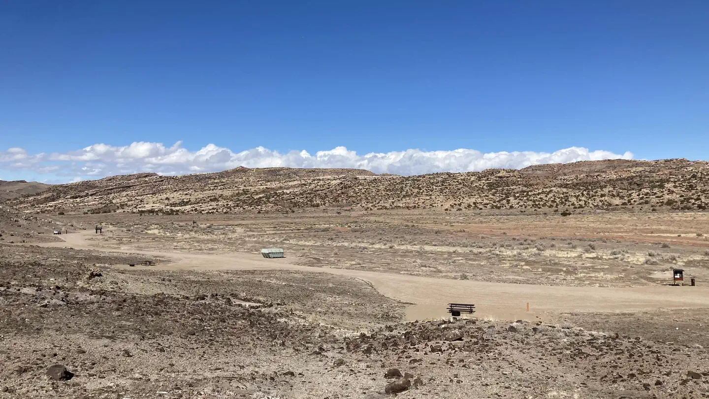 Reservable
BLM North Klondike Bluffs Campground
4.9 mi away · UT
 Reservable
Devils Garden Campground
5.1 mi away · UT
Similar length
Similar trails in Utah
The Narrows (Bottom-Up)
Utah
3.5 mi335 ftgain
TrailModerate

Queens Garden to Navajo Loop
Utah
1.3 mi600 ftgain
TrailModerate
Delicate Arch Trail
Utah
3.0 mi538 ftgain
TrailDifficult
Donut Falls Trail
Utah
3.0 mi745 ftgain
TrailModerate
The Living Room Lookout Trail
Utah
2.3 mi1,076 ftgain
TrailModerate
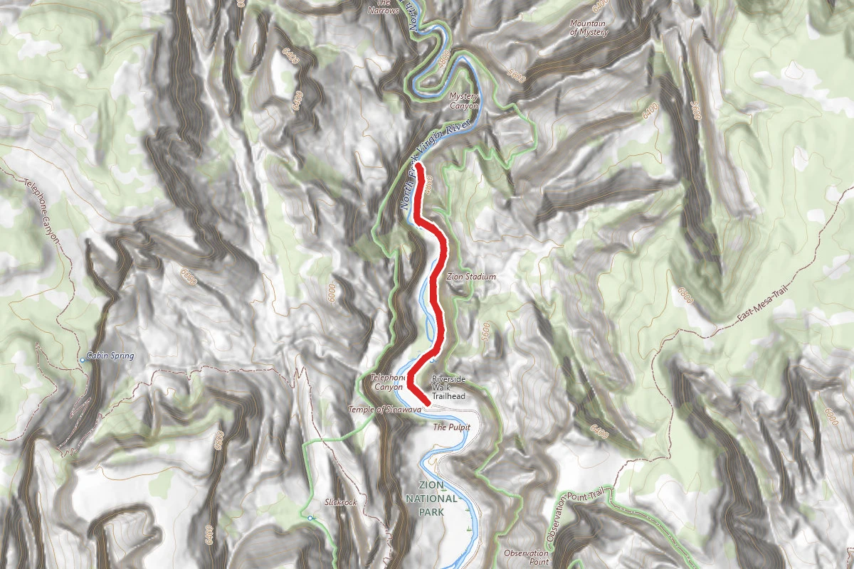
The Zion Narrows Riverside Walk
Utah
1.8 mi2,349 ftgain
TrailDifficult
Spot an error in our data on Tower Arch Trail?