1.3 mi
Distance
600 ft
Elev. Gain
2h 30m
Est. Time
Loop
Route Type
Moderate
Difficulty
About This Trail
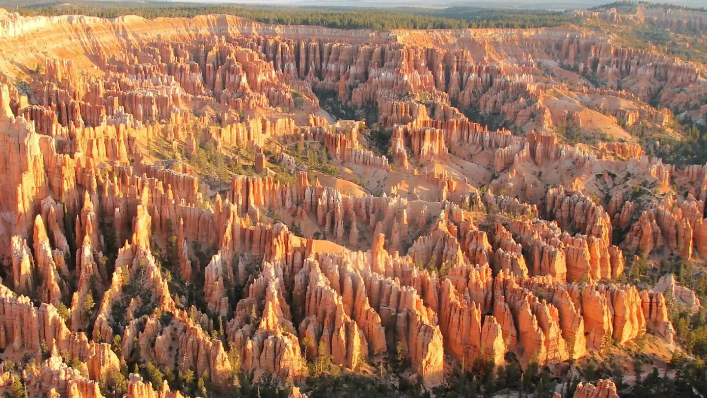
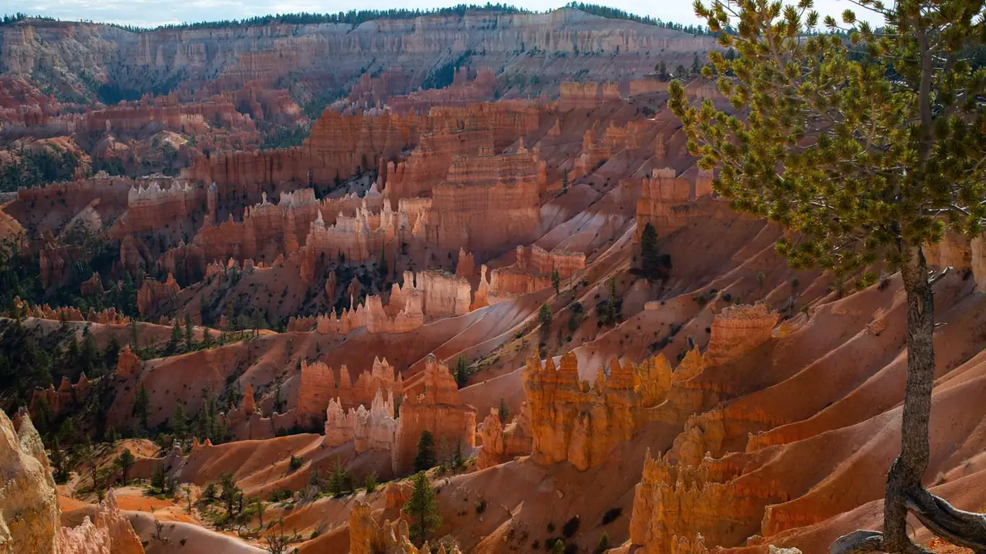
Queens Garden to Navajo Loop is a loop trail in Bryce Canyon National Park, managed by the National Park Service, in Garfield County, Utah. It is 1.3 miles long and gains 600 feet. The surface is rock. The nearest town is Tropic, Utah, about 3 miles away in a straight line.
From the trail data on this page. For conditions and closures, see official sources.
Trail Conditions
Trail Conditions
Updated Apr 19, 2026 — may be out of date
No recent condition reports. Be the first to share what you see on the trail.
Hazards & Warnings
Trail Details
- Route Type
- Loop
- Surface
- Rock
Official sources & verification
Managed by National Park Service
Source of truth
- Agency source page
The page our published rules and notes are derived from.
- National Park Service unit page
Alerts, conditions, and the unit's plan-your-visit page.
Where it is
- Nearest town:
- Tropic, UT · about 3 mi away
- County:
- Garfield County, UT
- Jurisdiction:
- Bryce Canyon National Park · National Park Service
Nearest town and county from U.S. Census Bureau place records and county boundaries.
Verify by phone or mail
- Operator:435-834-5322
- Address:Highway 63, Bryce Canyon National Park · Bryce, UT · 84764
Highlights
Reviews
No reviews yet
Be the first to share your experience and help others plan their visit.
OpenStreetMap
Nearby Trails
More trails near Queens Garden to Navajo Loop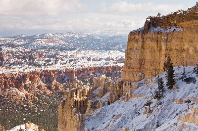
Rim Trail
0.0 mi away
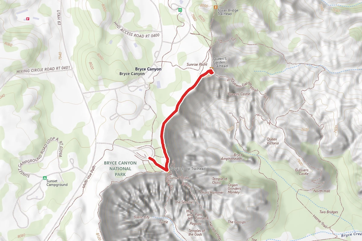
Sunset Point to Sunrise Point
0.0 mi away
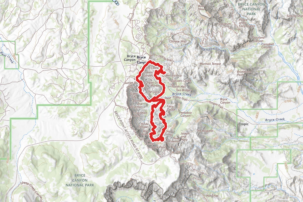
Wall Street and Queens Garden Loop to Peekaboo Loop (Figure Eight Trail)
0.1 mi away

Navajo Loop Trail
0.1 mi away
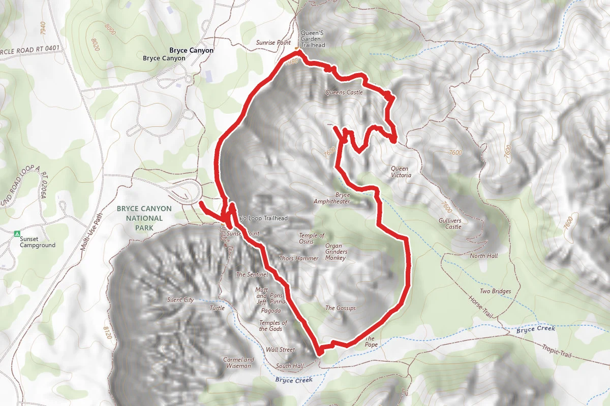
Navajo Loop and Queen's Garden Trail
0.1 mi away
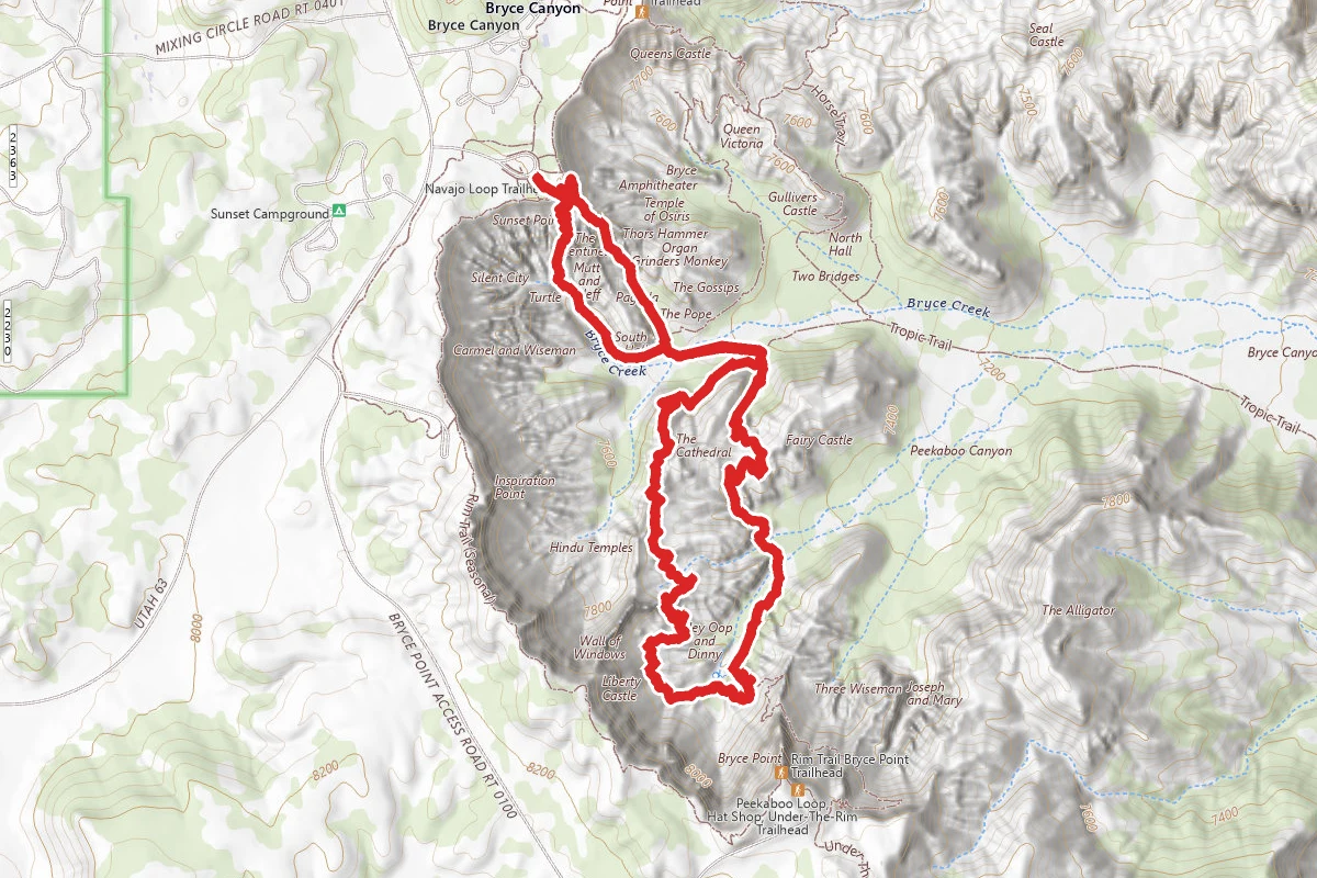
Navajo Loop Trail to Peekaboo Loop
0.1 mi away
In this park
Other trails in Bryce Canyon National Park
Navajo Loop and Queen's Garden Trail
Utah
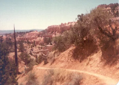
Fairyland Loop Trail
Utah
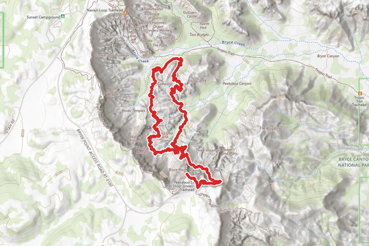
Peekaboo Loop Trail
Utah
Rim Trail
Utah
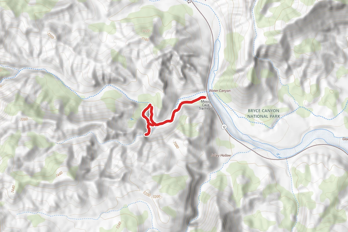
Mossy Cave Turret Arch and Little Windows Trail
Utah
Navajo Loop Trail
Utah
Stay nearby
Campgrounds near this trail


Similar length
Similar trails in Utah
Canyon Overlook Trail
Utah
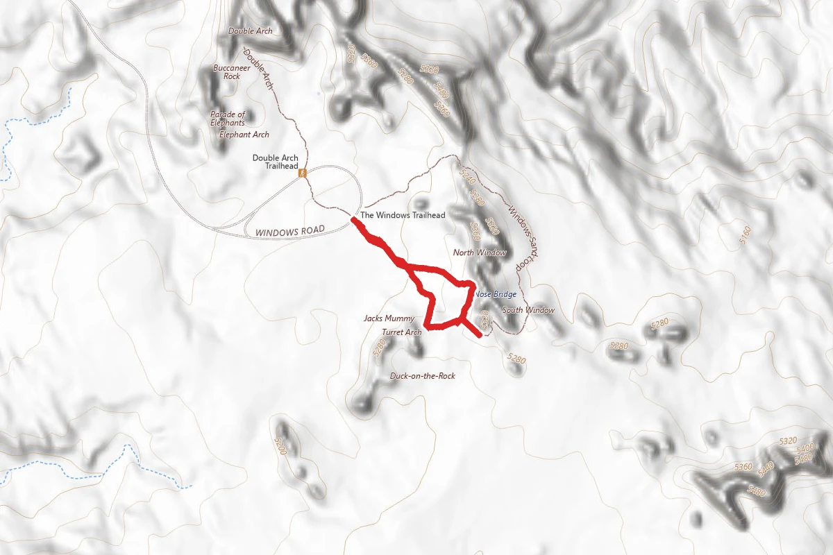
Windows Loop Trail
Utah
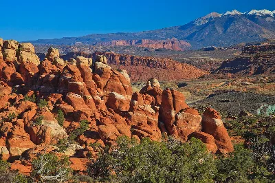
Fiery Furnace
Utah
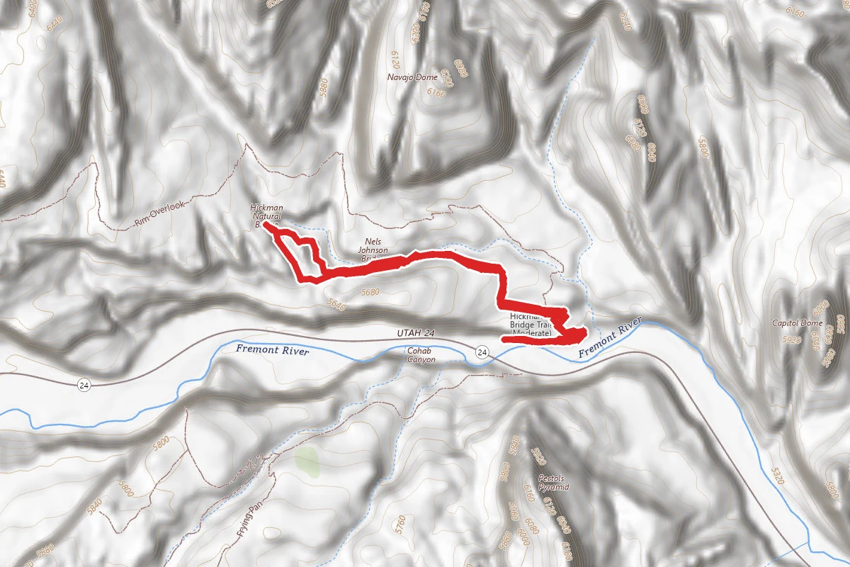
Hickman Bridge Trail
Utah
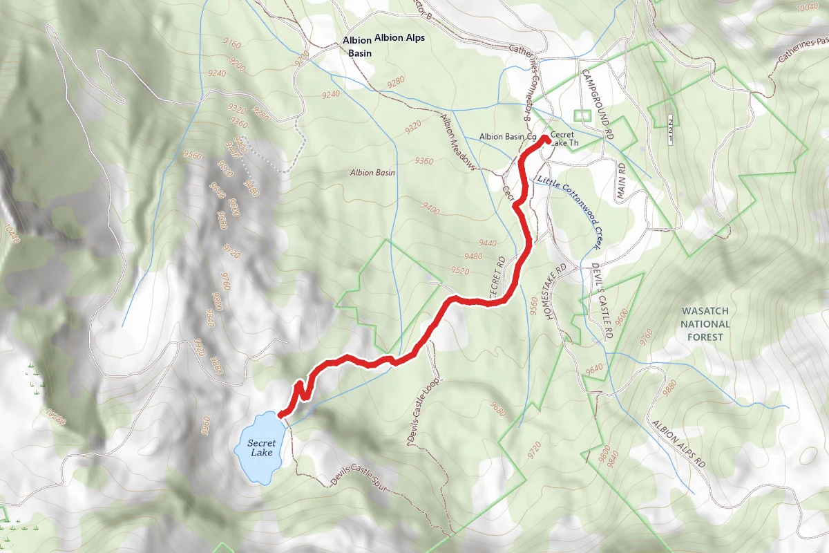
Cecret Lake Trail
Utah
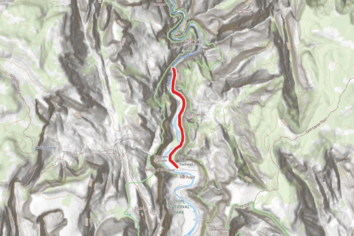
The Zion Narrows Riverside Walk
Utah