
1 / 4

.jpg/1280px-Arches_National_Park_-_Delicate_Arch_trail_(4561607225).jpg)

DifficultOut and Back
3.0 mi
Distance
538 ft
Elev. Gain
1h 28m
Est. Time
Out & Back
Route Type
Difficult
Difficulty
About This Trail
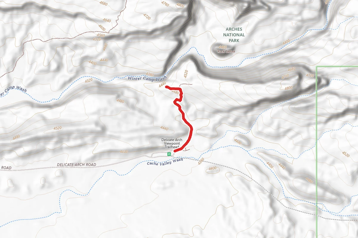
The park's signature hike climbs from Wolfe Ranch up a steep, open slickrock slope with no shade and some exposure to heights, ending at the free-standing Delicate Arch, Utah's state symbol. Just before the arch the trail follows a narrow rock ledge for about 200 yards that is often icy in winter. Delicate Arch stays hidden until the very end, when it appears at the rim of a natural sandstone bowl framed by the La Sal Mountains. NPS rates it strenuous; carry at least two quarts of water per person since none is available at the trailhead.
Trail Conditions
Trail Conditions
Open
Updated Today
No recent condition reports. Be the first to share what you see on the trail.
Hazards & Warnings
no shadeexposed slickrocksteep dropoffsnarrow ledge (icy in winter)extreme summer heatno water at trailhead
Trail Details
- No dogs
- Route Type
- Out & Back
- Surface
- Rock
Official sources & verification
Managed by National Park Service
Source of truth
- Agency source page
The page our published rules and notes are derived from.
- National Park Service unit page
Alerts, conditions, and the unit's plan-your-visit page.
Verify by phone or mail
- Operator:435-719-2299
- Address:5 miles north of Moab, Utah, on US 191 · Moab, UT · 84532
Best Seasons
Highlights
Delicate Arch (Utah state icon)expansive slickrock bowlLa Sal Mountains backdroppremier sunset hike
Reviews
No reviews yet
Be the first to share your experience and help others plan their visit.
Imported route
Hunt context
This trail crosses hunting units
During hunting seasons, wear blaze orange and check regulations — see the Utah hunting page
In this park
Other trails in Arches National Park
Devils Garden Primitive Loop
Utah
7.9 mi1,099 ftgain
TrailDifficult
.jpg/1280px-Arches_National_Park…pinnacles_of_the_Fiery_Furnace_(6294484466).jpg)
Fiery Furnace
Utah
1.2 mi249 ftgain
TrailModerate Permit
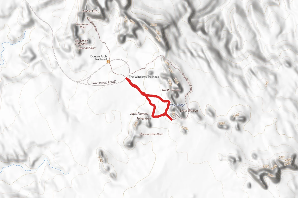
Windows Loop Trail
Utah
0.7 mi131 ftgain
TrailEasy
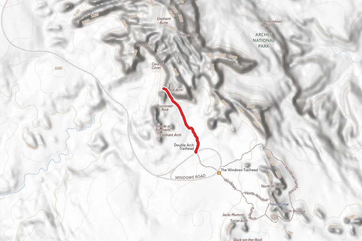
Double Arch Trail
Utah
0.6 mi30 ftgain
TrailEasy
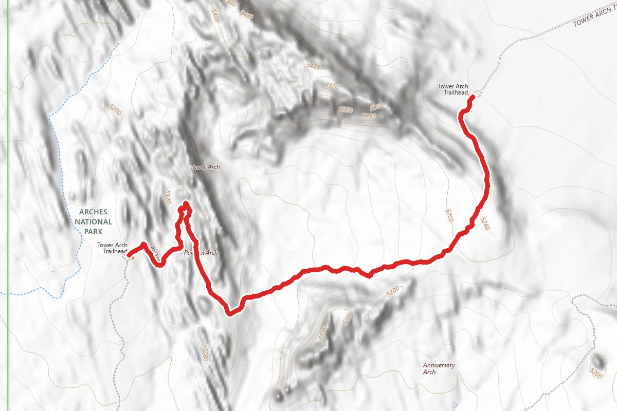
Tower Arch Trail
Utah
2.6 mi289 ftgain
TrailDifficult
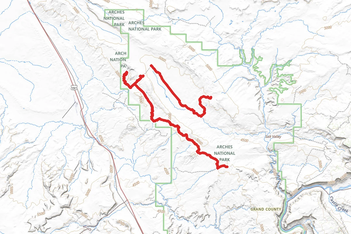
Tower Arch, Marching Men, and Balancing Rock OHV Route
Utah
15.5 mi2,346 ftgain
TrailExpert
Stay nearby
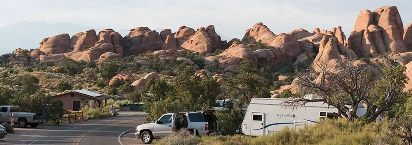
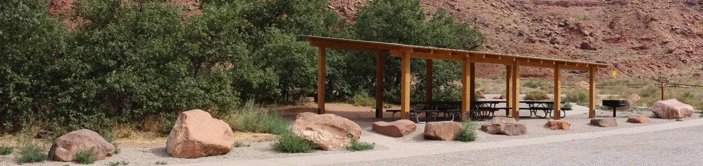
Campgrounds near this trail
Similar length
Similar trails in Utah
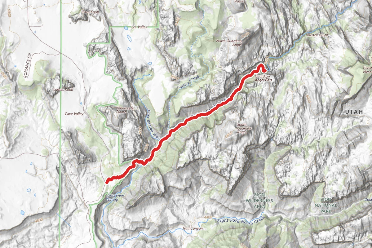
The Narrows (Bottom-Up)
Utah
3.5 mi335 ftgain
TrailModerate
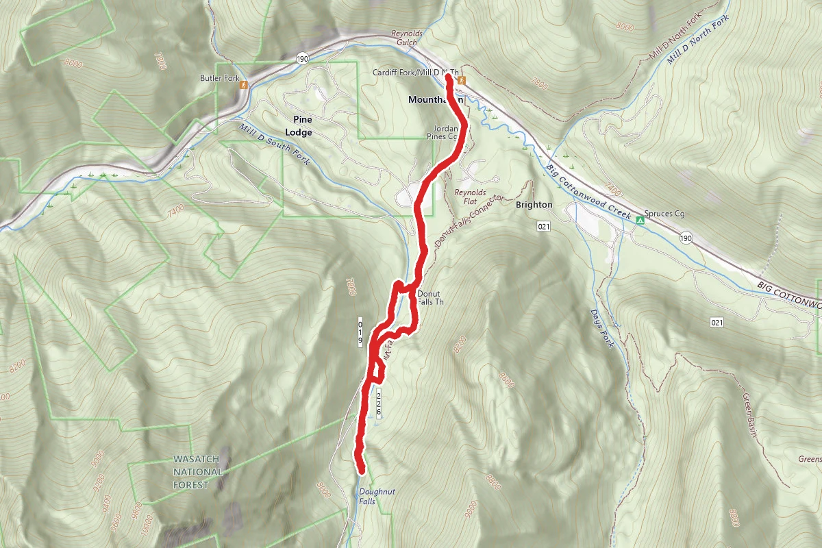
Donut Falls Trail
Utah
3.0 mi745 ftgain
TrailModerate
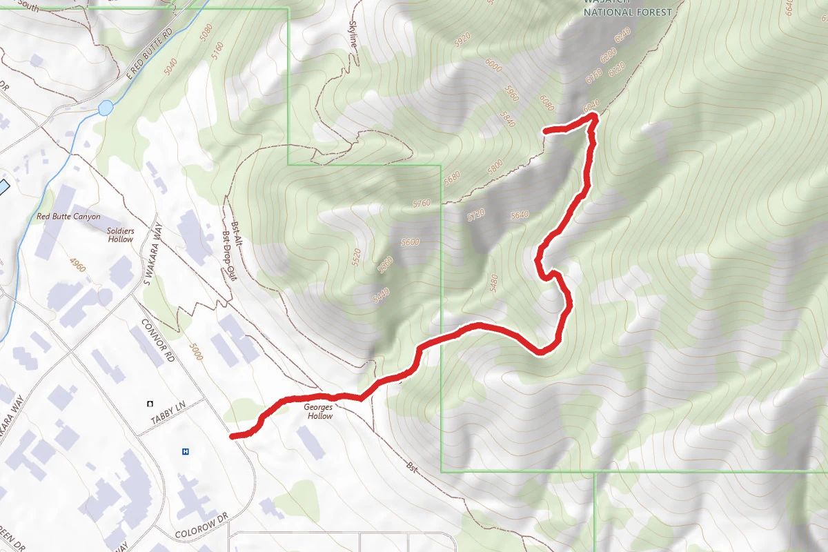
The Living Room Lookout Trail
Utah
2.3 mi1,076 ftgain
TrailModerate
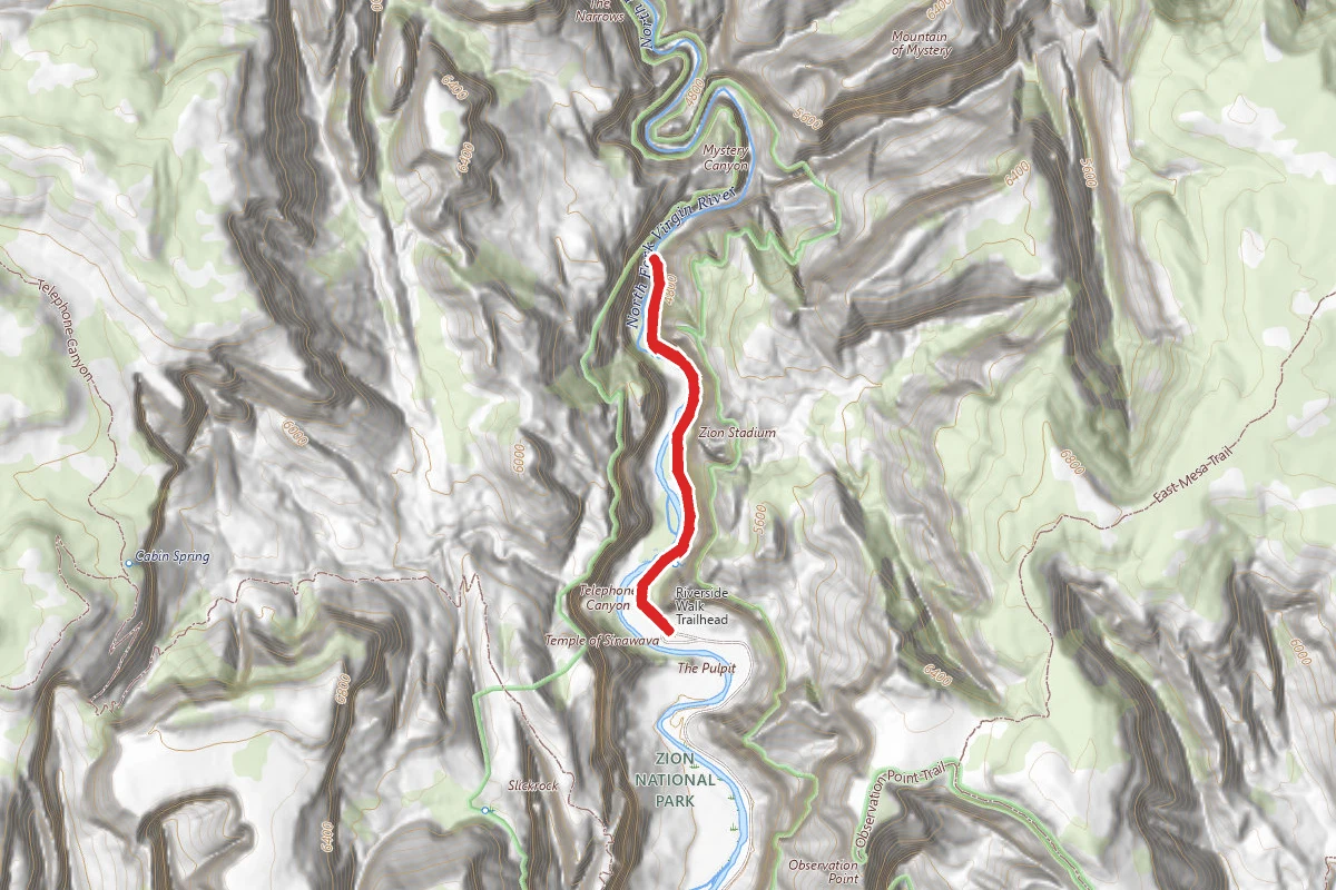
The Zion Narrows Riverside Walk
Utah
1.8 mi2,349 ftgain
TrailDifficult
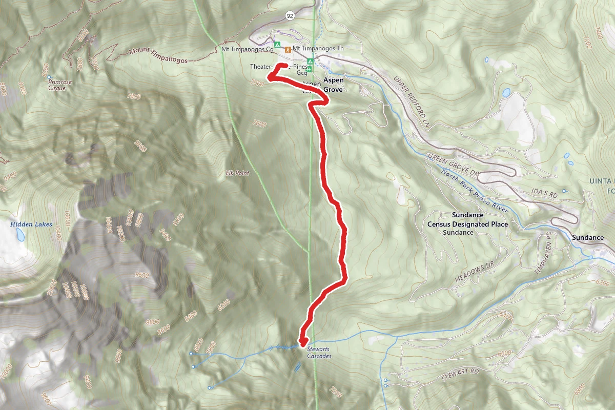
Stewart Falls Trail
Utah
3.4 mi886 ftgain
TrailModerate
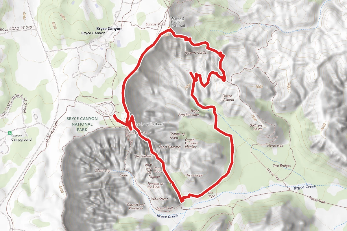
Navajo Loop and Queen's Garden Trail
Utah
2.6 mi863 ftgain
TrailModerate
Spot an error in our data on Delicate Arch Trail?