Status unknown — verify before visiting
We don't have current condition data for this trail. Check with the land manager before you go.
No photos yet
3.0 mi
Distance
2h
Est. Time
Out & Back
Route Type
Moderate
Difficulty
About This Trail
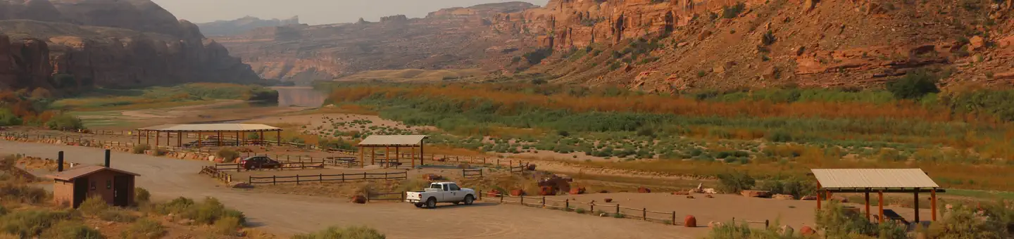
Generated from trail dataA 3-mile round-trip route from Potash Road (UT-279) to Corona Arch, a massive free-standing sandstone span on BLM land outside Moab, designated a National Recreation Trail in 2018. From the parking lot the trail climbs past a visitor register, crosses an active railroad track, and follows cairned slickrock benches to the arch. Short cliffy sections are equipped with a safety cable, steps cut into the rock, and a short ladder; neighboring Bowtie Arch sits alongside the route.
Trail Conditions
Trail Conditions
Unknown
We have no current condition data for this trail. Check with the operator before you go, and submit a report below if you've been recently.
No recent condition reports. Be the first to share what you see on the trail.
Hazards & Warnings
Slickrock with mild exposure — cable and ladder sectionsActive railroad crossing near the trailheadExtreme summer heat, no shade or waterCairn-following route-finding on open rock
Trail Details
- Route Type
- Out & Back
- Surface
- Mixed Surface
Official sources & verification
Source of truth
- Agency source page
The page our published rules and notes are derived from.
Best Seasons
Highlights
Corona Arch — massive free-standing spanBowtie Arch alongside the routeCairned slickrock benches above the Colorado River corridorNational Recreation Trail (2018)
Reviews
No reviews yet
Be the first to share your experience and help others plan their visit.
Hunt context
This trail crosses hunting units
During hunting seasons, wear blaze orange and check regulations — see the Utah hunting page

Stay nearby
Campgrounds near this trail
Similar length
Similar trails in Utah
Trail
Donut Falls Trail
Utah
3.0 mi745 ftgain
Moderate
Trail
The Living Room Lookout Trail
Utah
2.3 mi1,076 ftgain
Moderate
Trail
The Zion Narrows Riverside Walk
Utah
1.8 mi2,349 ftgain
Difficult
Trail
Stewart Falls Trail
Utah
3.4 mi886 ftgain
Moderate
Trail
Navajo Loop and Queen's Garden Trail
Utah
2.6 mi863 ftgain
Moderate
Trail
Adams Canyon Trail
Utah
3.4 mi1,503 ftgain
Difficult
Spot an error in our data on Corona Arch Trail?