Status unknown — verify before visiting

We don't have current condition data for this trail. Check with the land manager before you go.

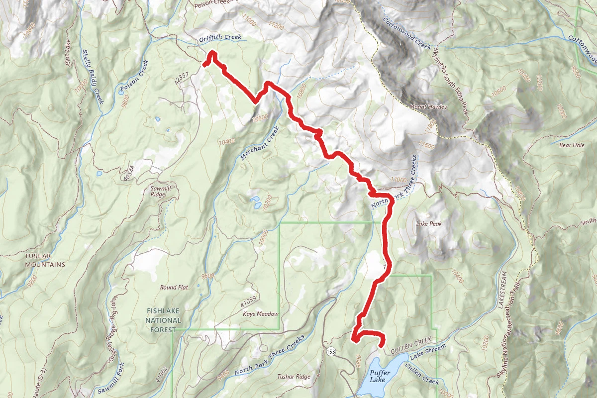
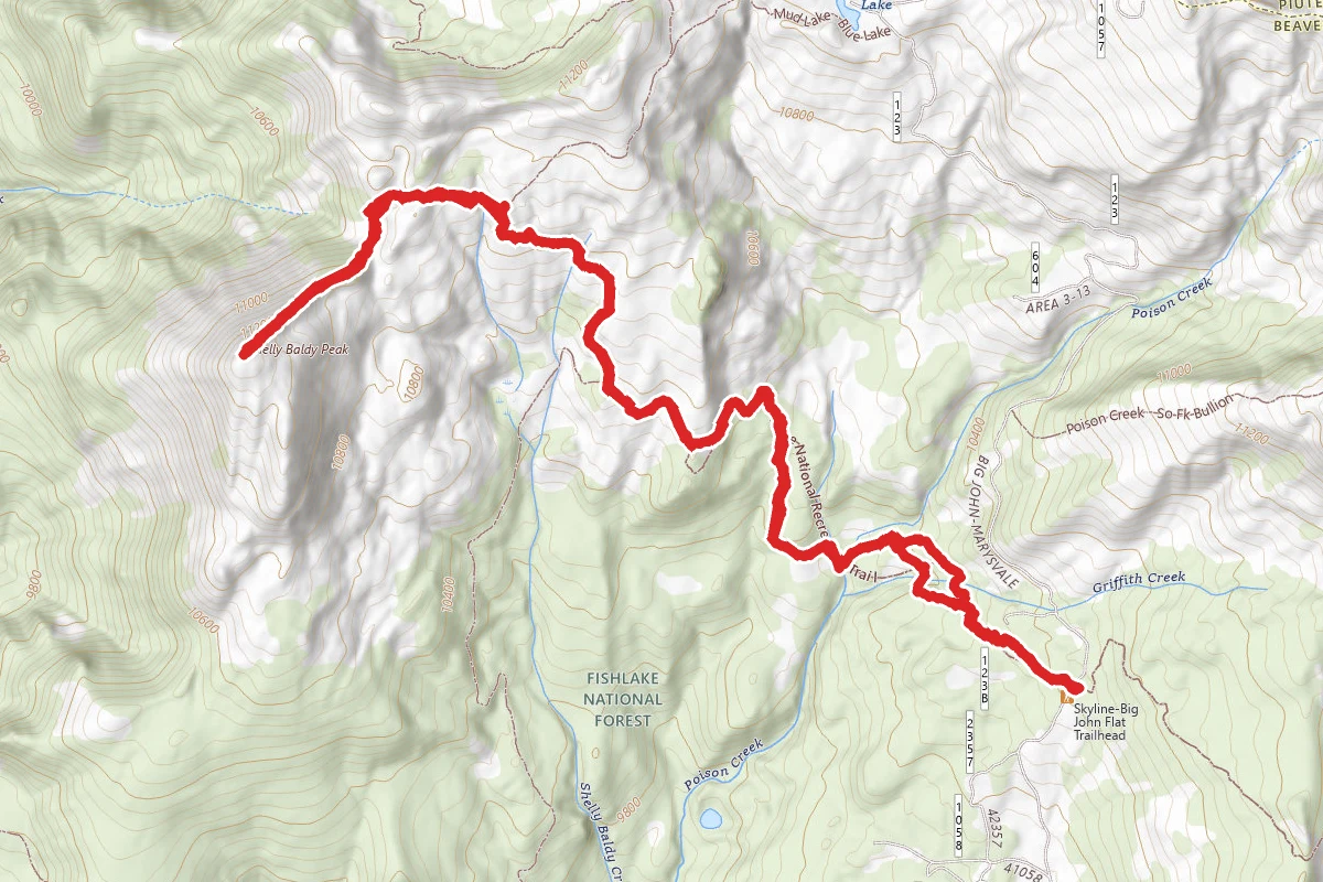
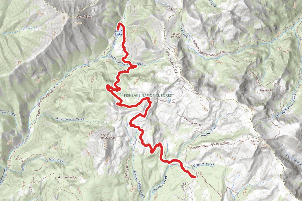
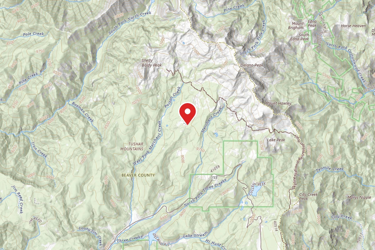
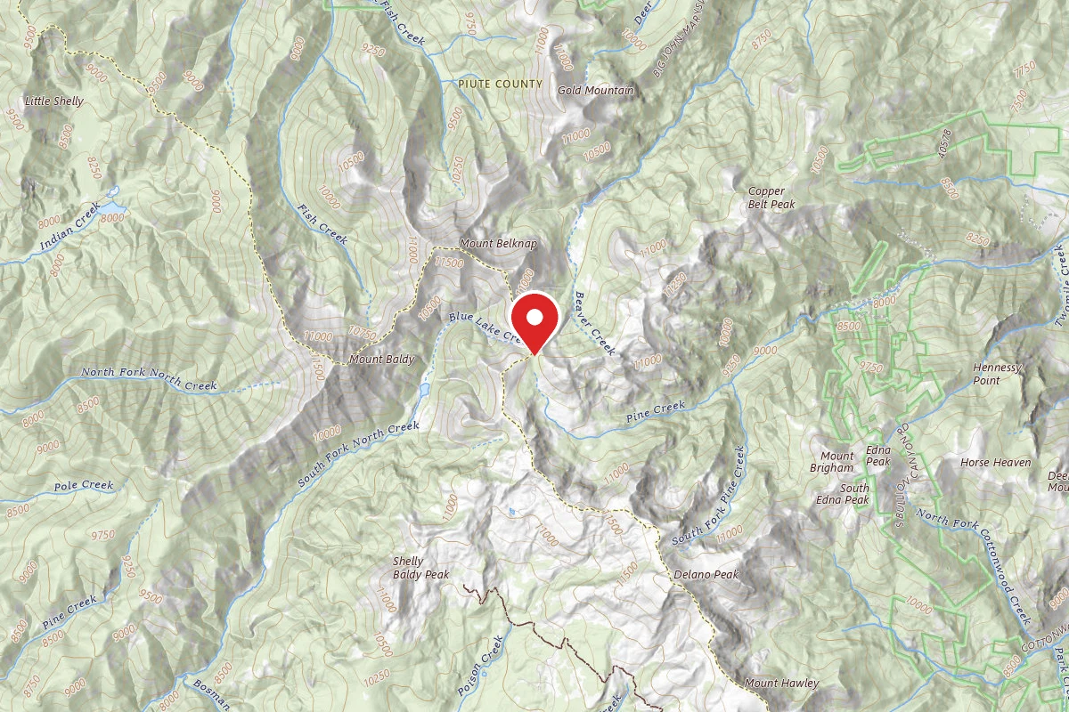
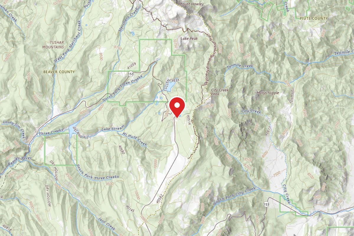
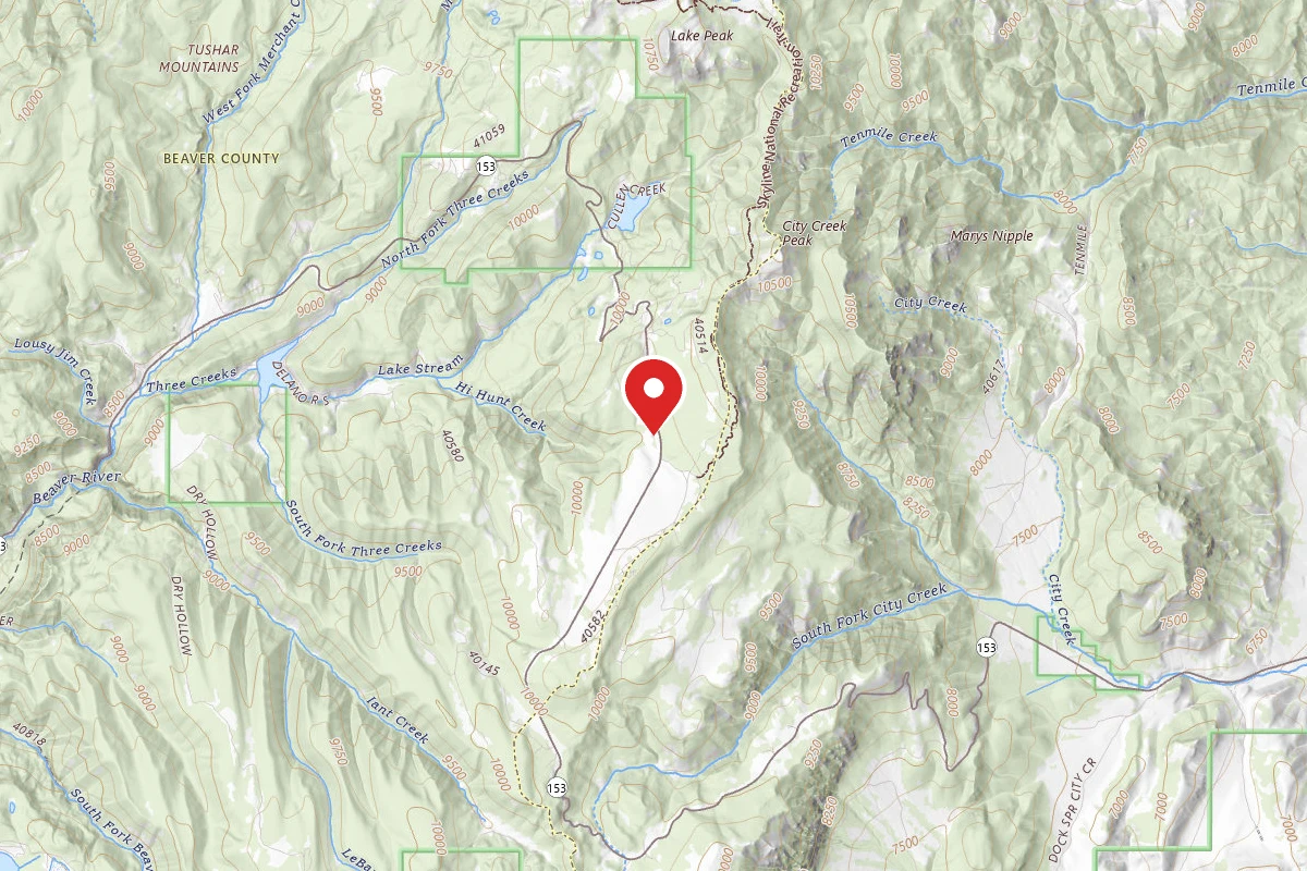
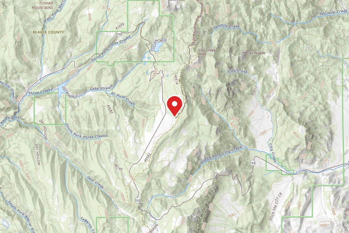
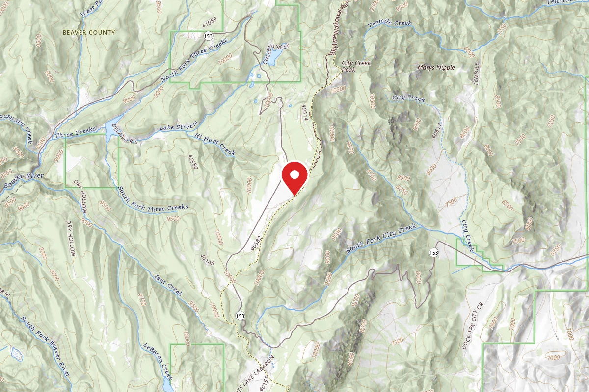
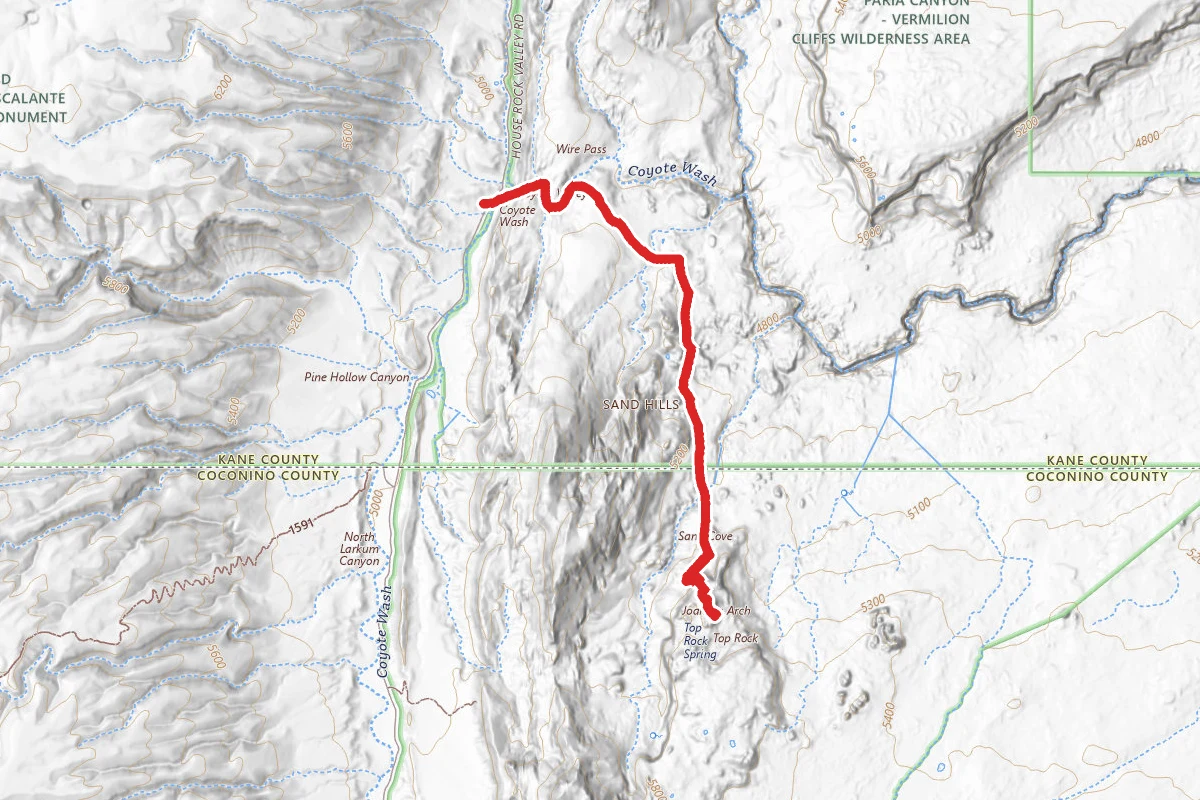
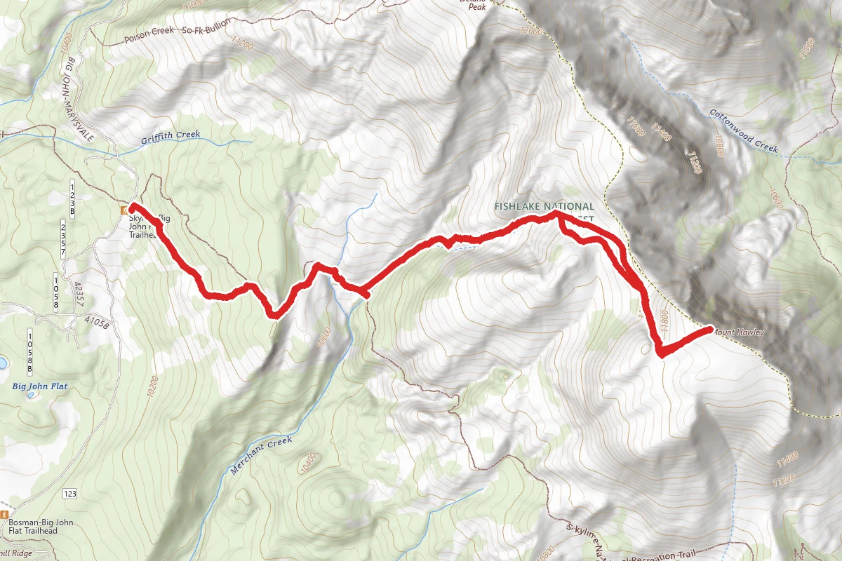
Mount Holly Trail route map
DifficultOut and Back

Mount Holly Trail

Beaver, Utah

5.5 mi

Distance

2,106 ft

Elev. Gain

2h 49m

Est. Time

Out & Back

Route Type

Difficult

Difficulty

About This Trail

Imported description
The Skyline Trail system is an incredible system which criss-crosses the high elevation of peaks in the area with maintained trails. Be aware of the fact this hike starts above the 10,000 foot elevation level. You can expect to be winded often, but if any unexplained headaches occur, seek lower elevation immediately. The trail climbs quickly and soon emerges onto a grass covered hillside offering stunning views south and west. Continue east until a high ridge line is reached, here the trail splits, with one trail heading down the ridge line and the main trail (trail 225) loops back along the hillside toward a gully. Stunning views north give you a beautiful view of Delano Peak. Snow still lingers in the shaded areas along the high elevations, but green grass and wild flowers are in bloom along the water filled wash. Stopping at this point, it is possible to make out the trail leading up the wash to the east. Skirting around a pocket of tall pines. This is the direction of travel. Note visually about where this trail and the current trail 225 intersect. There is no hard trail intersection or trail cairn marking the junction. If you get to the second and much larger stream crossing (and pine trees) you have gone to far. Leaving trail 225 hike for a short time through the grass valley before picking up the trail again. The trail hits and misses but is generally easy to follow toward the ridge line leading off of Delano Peak. The trail continues around the head of the creek and turns directly east once again, and finally the summit of Mount Holly comes into view. The summit of Mount Holly is a highpoint along the ridge line of rocks. A summit cairn exists. Beautiful views north of Delano Peak, East Delano Peak and Brigham-Delano Ridge peak are to be seen from the shear drop that exists on the northern face of Mount Holly. To the left (west) of Delano Peak, a stunning shot of Mount Baldy occupies the skyline. Summit views east highlight green valleys and storm clouds.

Trail Conditions

Trail Conditions

Unknown

We have no current condition data for this trail. Check with the operator before you go, and submit a report below if you've been recently.

No recent condition reports. Be the first to share what you see on the trail.

Elevation Profile

Min:3,182 ft
Max:3,647 ft
642 ft
642 ft
3,182 ft3,337 ft3,492 ft3,647 ft0.0 mi1.4 mi2.7 mi4.1 mi5.4 mi

Trail Details

Route Type
Out & Back
Surface
Dirt

Official sources & verification

We don't have curated agency sources for this trail in our cache yet. Outdoors is not the permitting authority — confirm conditions, permits, and access with the managing agency before you go. If you know who manages this trail, please tell us.

Reviews

No reviews yet

Be the first to share your experience and help others plan their visit.

Legacy import — verify before navigating

Path geometry came from our pre-launch legacy database. Routes have not yet been re-verified against the operator and may differ from the actual trail.

Hunt context

This trail crosses hunting units

During hunting seasons, wear blaze orange and check regulations — see the Utah hunting page

Spot an error in our data on Mount Holly Trail?