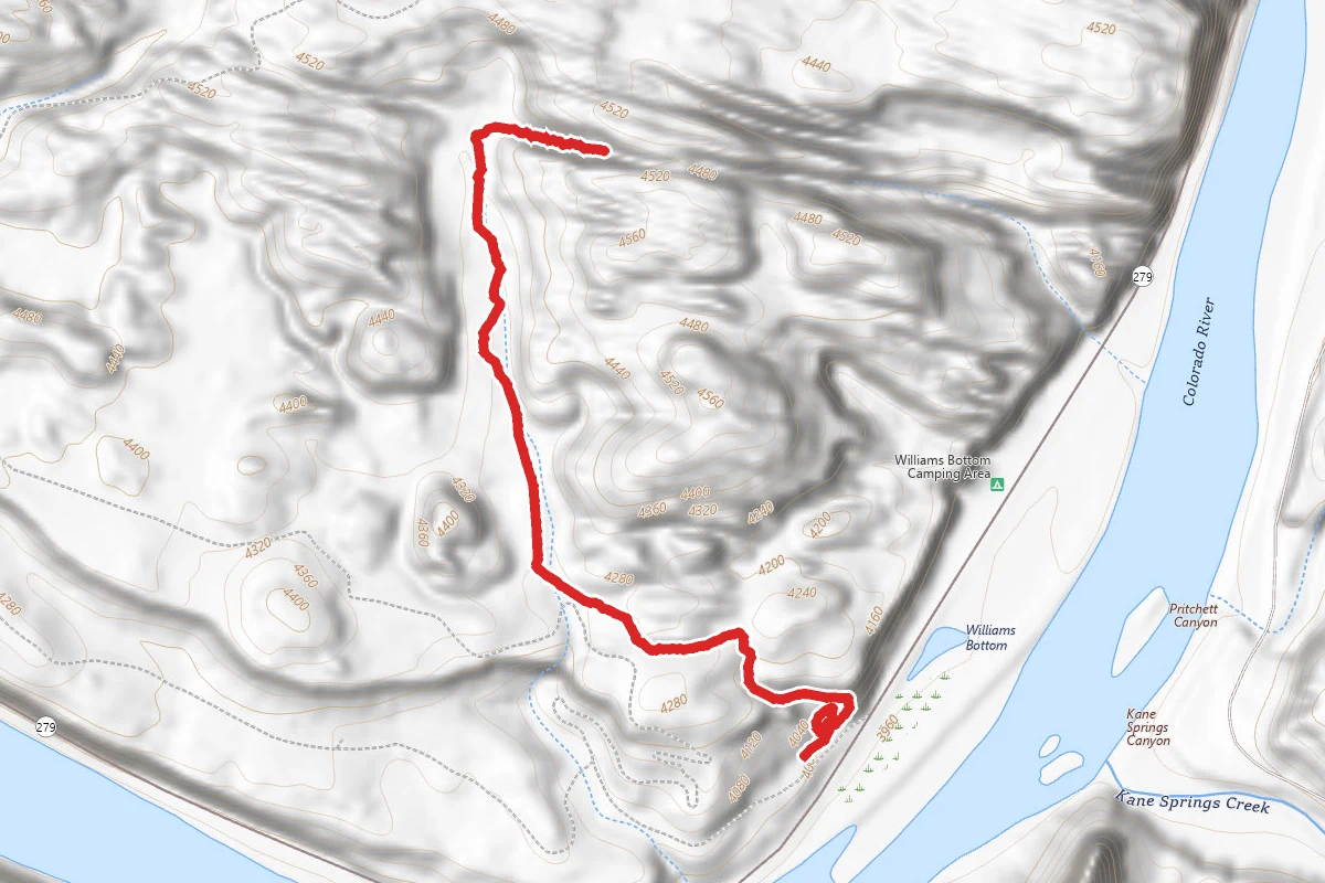
Difficulty: ModerateOut and Back
2.4 mi
Distance
440 ft
Elev. Gain
1h 11m
Est. Time
Out & Back
Route Type
Moderate
Difficulty
About This Trail
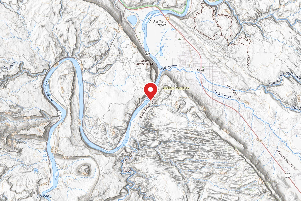
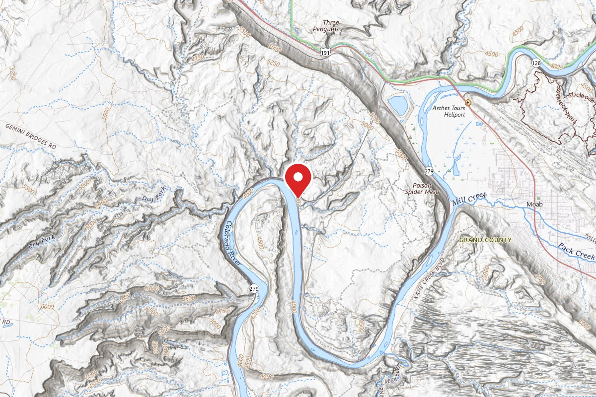
A BLM hiking trail built by the BLM and Grand County Trail Mix that climbs about 1.2 miles (one way) from the Poison Spider Mesa Trailhead on Potash Road (UT-279) to the roughly 60-foot Longbow Arch. The route passes ancestral rock art near the start and crosses slickrock benches with views of Behind the Rocks and the La Sal Mountains. A short signed spur near the trailhead leads to the Poison Spider dinosaur trackway and petroglyph panels.
Source: discovermoab.comdiscovermoab.comchecked Jul 24, 2026
Trail Conditions
Trail Conditions
Open
Updated Jul 24, 2026 — may be out of date
No recent condition reports. Be the first to share what you see on the trail.
Trail Details
- Route Type
- Out & Back
- Surface
- Mixed Surface
Official sources & verification
Source of truth
- Agency source page
The page our published rules and notes are derived from.
Where it is
- Nearest town:
- Moab, UT · about 3 mi away
- County:
- Grand County, UT
Nearest town and county from U.S. Census Bureau place records and county boundaries.
Reviews
No reviews yet
Be the first to share your experience and help others plan their visit.
Imported route
Nearby Trails
More trails near Longbow Arch Trail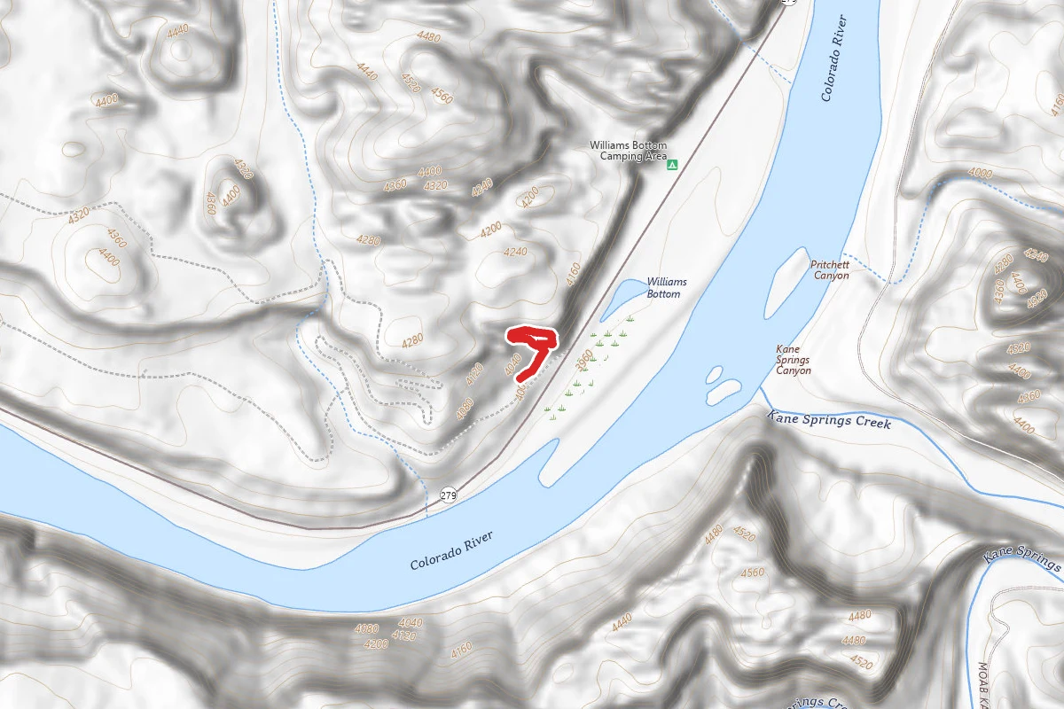
Poison Spider Dinosaur Tracksite Trail
0.3 mi
TrailDifficulty: Moderate
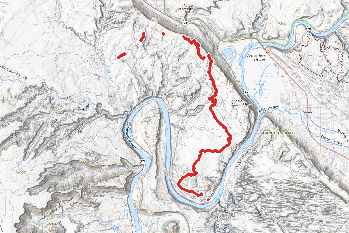
Golden Spike OHV Trail
13.1 mi
TrailDifficulty: Easy
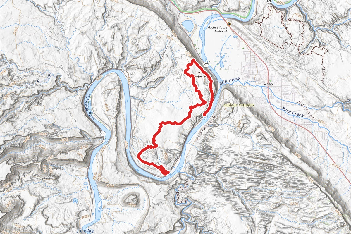
Poison Spider Mesa to Portal Trail
9.8 mi
TrailDifficulty: Difficult
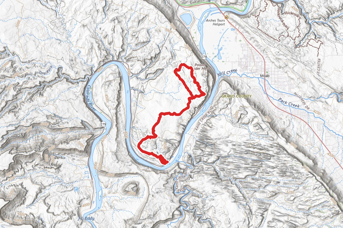
Poison Spider Mesa
13.5 mi
TrailDifficulty: Expert
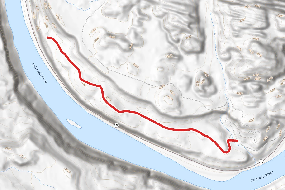
Poison Spider Bench
1.2 mi
TrailDifficulty: Easy
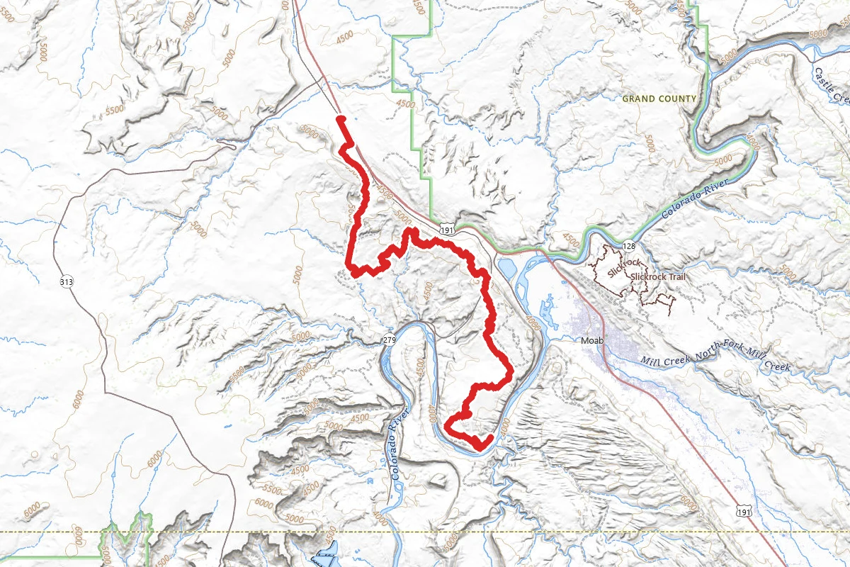
Posion Spider and Golden Spike OHV Trail
20.0 mi
TrailDifficulty: Expert
Stay nearby
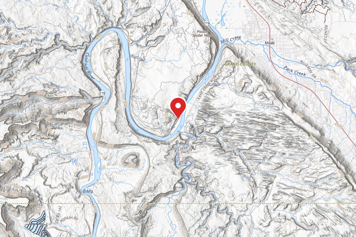
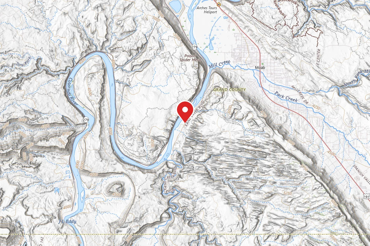
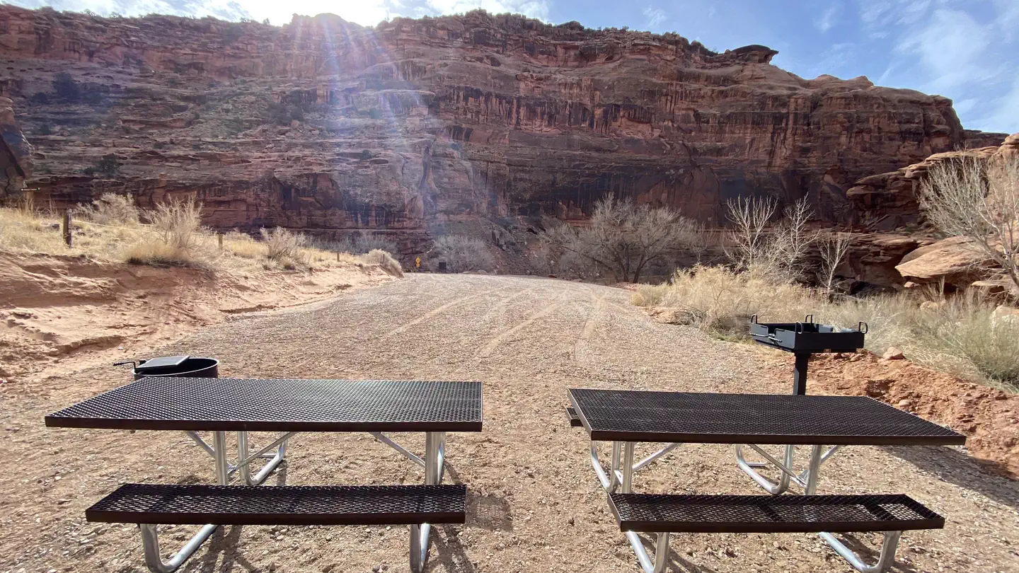
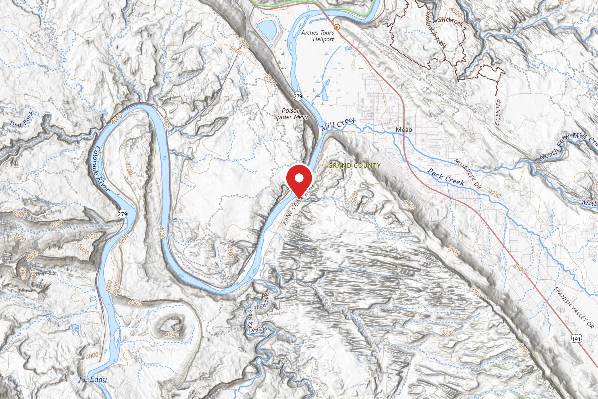
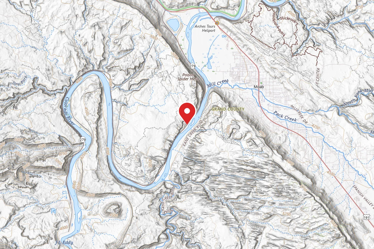
Campgrounds near this trail
Similar length
Similar trails in Utah
The Narrows (Bottom-Up)
Utah
3.5 mi335 ftgain
TrailDifficulty: Moderate
Delicate Arch Trail
Utah
3.0 mi538 ftgain
TrailDifficulty: Difficult
Navajo Loop and Queen's Garden Trail
Utah
2.6 mi863 ftgain
TrailDifficulty: Moderate
Emerald Pools Trail
Utah
2.9 mi607 ftgain
TrailDifficulty: Moderate
Fiery Furnace
Utah
1.2 mi249 ftgain
TrailDifficulty: Moderate Permit
Corona Arch Trail
Utah
3.0 mi
TrailDifficulty: Moderate
Spot an error in our data on Longbow Arch Trail?