Status unknown — verify before visiting
We don't have current condition data for this trail. Check with the land manager before you go.
28.0 mi
Distance
13,340 ft
Elev. Gain
14h 25m
Est. Time
Point to Point
Route Type
Expert
Difficulty
About This Trail
We don't have an editorial description for Snow Creek and San Jacinto Peak to Tram in our cache yet. The planning stats above (distance, elevation gain, estimated time, route type) come from the source listed on this trail.
For current conditions, closures, and route notes, check the official sources below — they're the authority for this trail, not us. Spot something we should add?
Trail Conditions
Trail Conditions
We have no current condition data for this trail. Check with the operator before you go, and submit a report below if you've been recently.
No recent condition reports. Be the first to share what you see on the trail.
Elevation Profile
Trail Details
- Route Type
- Point to Point
- Surface
- Dirt
Official sources & verification
We don't have curated agency sources for this trail in our cache yet. Outdoors is not the permitting authority — confirm conditions, permits, and access with the managing agency before you go. If you know who manages this trail, please tell us.
Reviews
No reviews yet
Be the first to share your experience and help others plan their visit.
Legacy import — verify before navigating
Path geometry came from our pre-launch legacy database. Routes have not yet been re-verified against the operator and may differ from the actual trail.
Hunt context
This trail crosses hunting unit
During hunting seasons, wear blaze orange and check regulations — see the California hunting page

Hidden Lake via Willow Creek Trail
Black Mountain Lookout
Whitewater Canyon View Loop Trail
San Gorgonio Overlook via Pacific Crest Trail (Whitewater)
Whitewater River via Visitor Center
Rainbow Rock Canyon
Stay nearby
Campgrounds near this trail
Reservable
∴Primitive Freedom - Palm Springs
3.6 mi away · CA
Western Village Mobile Home Park
4.4 mi away · CA
Black Mountain (san Bernardino)
5.2 mi away · CA
- Reservable
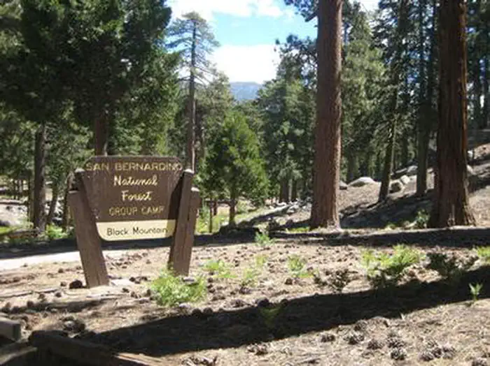
Black Mountain Group Campground (san Bernardino)
5.4 mi away · CA
Reservable
Mt. San Jacinto State Park
5.9 mi away · CA
 Reservable
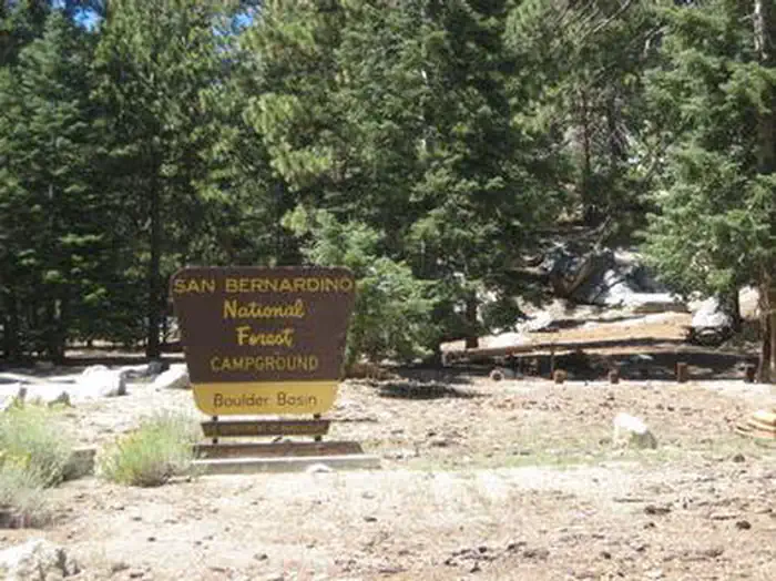
Boulder Basin
6.2 mi away · CA
Similar length
Similar trails in California

Half Dome
California

Mount Whitney Trail
California
Mount Baldy via Devil's Backbone Trail
California
Big Pine Lakes Trail
California
Rae Lakes Trail
California
Heaton Flat Trail to Iron Mountain
California