


14.2 mi
Distance
4,800 ft
Elev. Gain
7h 8m
Est. Time
Out & Back
Route Type
Expert
Difficulty
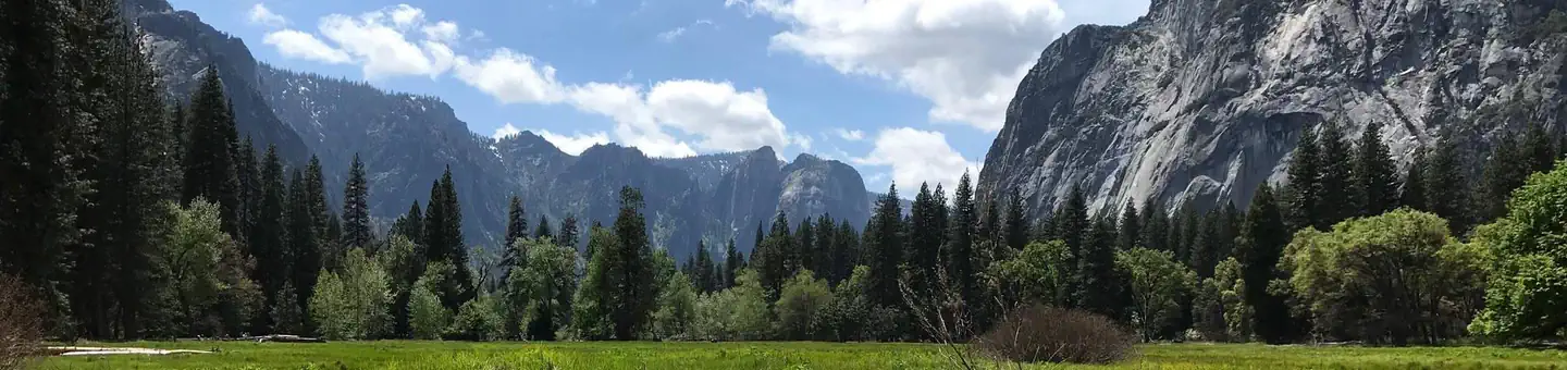
About This Trail
Imported descriptionTrail Conditions
Trail Conditions
Updated Apr 19, 2026 — may be out of date
No recent condition reports. Be the first to share what you see on the trail.
Hazards & Warnings
Trail Details
- No dogs
- Kid-friendly
- Route Type
- Out & Back
- Surface
- Mixed Surface
Permit required
Apply through the issuing agency. Many systems run seasonal lotteries or fixed application windows — confirm current dates on the agency page.
Day-use lottery permit required to ascend the subdome and cables; none needed below the cables.
Official sources & verification
Managed by National Park Service
Reserve or permit
- Apply for permit
Required permit application for this trail. Many systems run seasonal lotteries or fixed application windows — confirm current dates here.
Source of truth
- National Park Service unit page
Alerts, conditions, and the unit's plan-your-visit page.
Verify by phone or mail
- Operator:209-372-0200
- Address:9039 Village Drive · Yosemite, CA · 95389
Best Seasons
Highlights
Reviews
No reviews yet
Be the first to share your experience and help others plan their visit.
Verified from National Park Service public trails dataset
Trail centerline: National Park Service public trails dataset. Source ↗
Hunt context
This trail crosses hunting unit
During hunting seasons, wear blaze orange and check regulations — see the California hunting page
Nearby Trails
More trails near Half Dome
In this park
Other trails in Yosemite National Park
Mirror Lake Loop
California

Yosemite Falls Trail
California

Four Mile Trail
California
Upper Yosemite Falls Trail
California
Four Mile Trail
California
Vernal Falls and Clark Point via Mist and John Muir Loop
California
Stay nearby
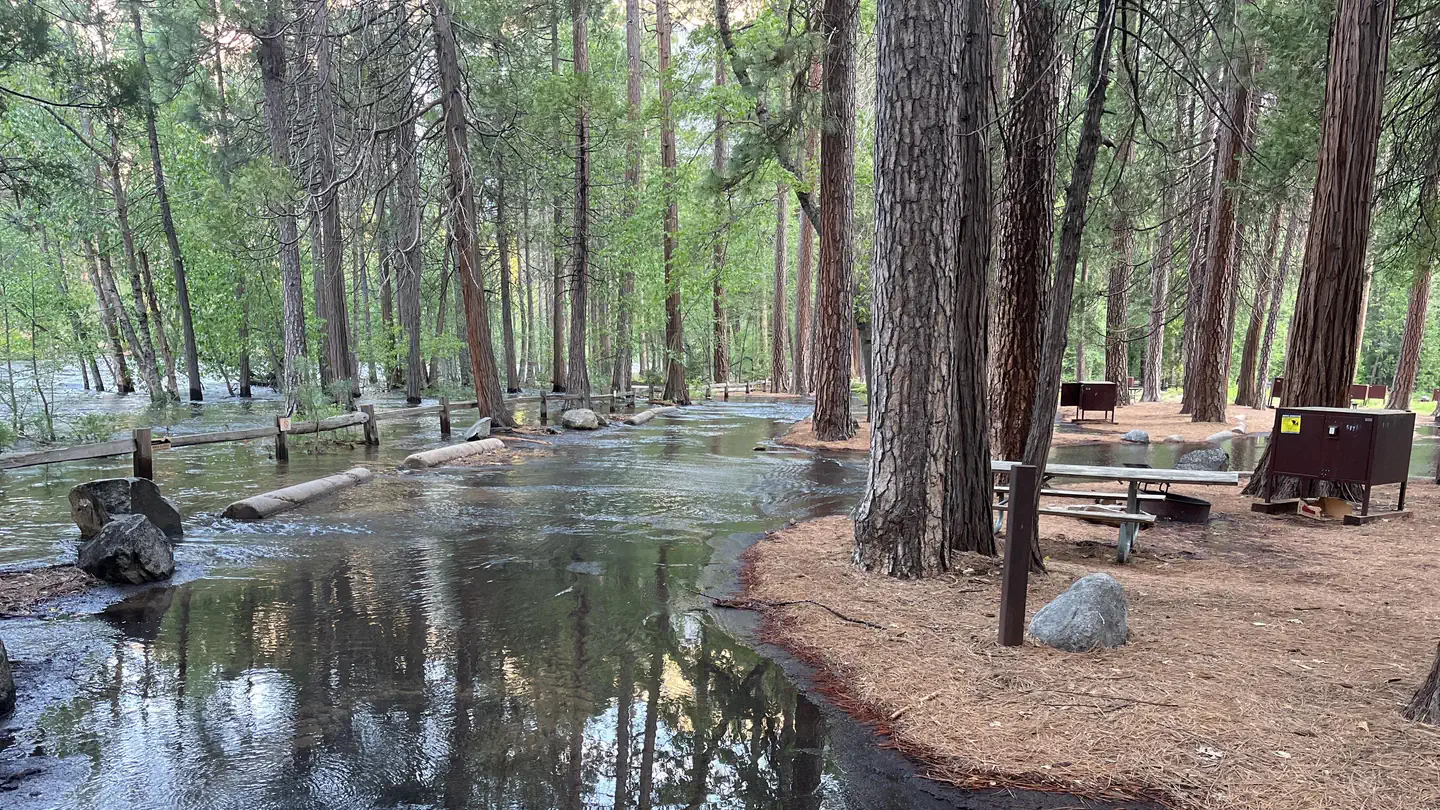
Campgrounds near this trail
Similar length
Similar trails in California
Yosemite Falls Trail
California
Four Mile Trail
California
Potato Chip Rock via Mt. Woodson Trail
California
Upper Yosemite Falls Trail
California
Mount Tallac Trail
California
Mission Peak from Ohlone College
California