Status unknown — verify before visiting
We don't have current condition data for this trail. Check with the land manager before you go.

22.5 mi
Distance
14,295 ft
Elev. Gain
10h 50m
Est. Time
Out & Back
Route Type
Expert
Difficulty
About This Trail
Imported descriptionFrom Wikipedia
Source: Wikipedia — text licensed CC BY-SA 4.0. Verify trail conditions and seasonal closures with the managing agency before you go.
Trail Conditions
Trail Conditions
We have no current condition data for this trail. Check with the operator before you go, and submit a report below if you've been recently.
No recent condition reports. Be the first to share what you see on the trail.
Elevation Profile
Trail Details
- Route Type
- Out & Back
- Surface
- Dirt
Official sources & verification
We don't have curated agency sources for this trail in our cache yet. Outdoors is not the permitting authority — confirm conditions, permits, and access with the managing agency before you go. If you know who manages this trail, please tell us.
Reviews
No reviews yet
Be the first to share your experience and help others plan their visit.
Legacy import — verify before navigating
Path geometry came from our pre-launch legacy database. Routes have not yet been re-verified against the operator and may differ from the actual trail.
Hunt context
This trail crosses hunting units
During hunting seasons, wear blaze orange and check regulations — see the California hunting page
Nearby Trails
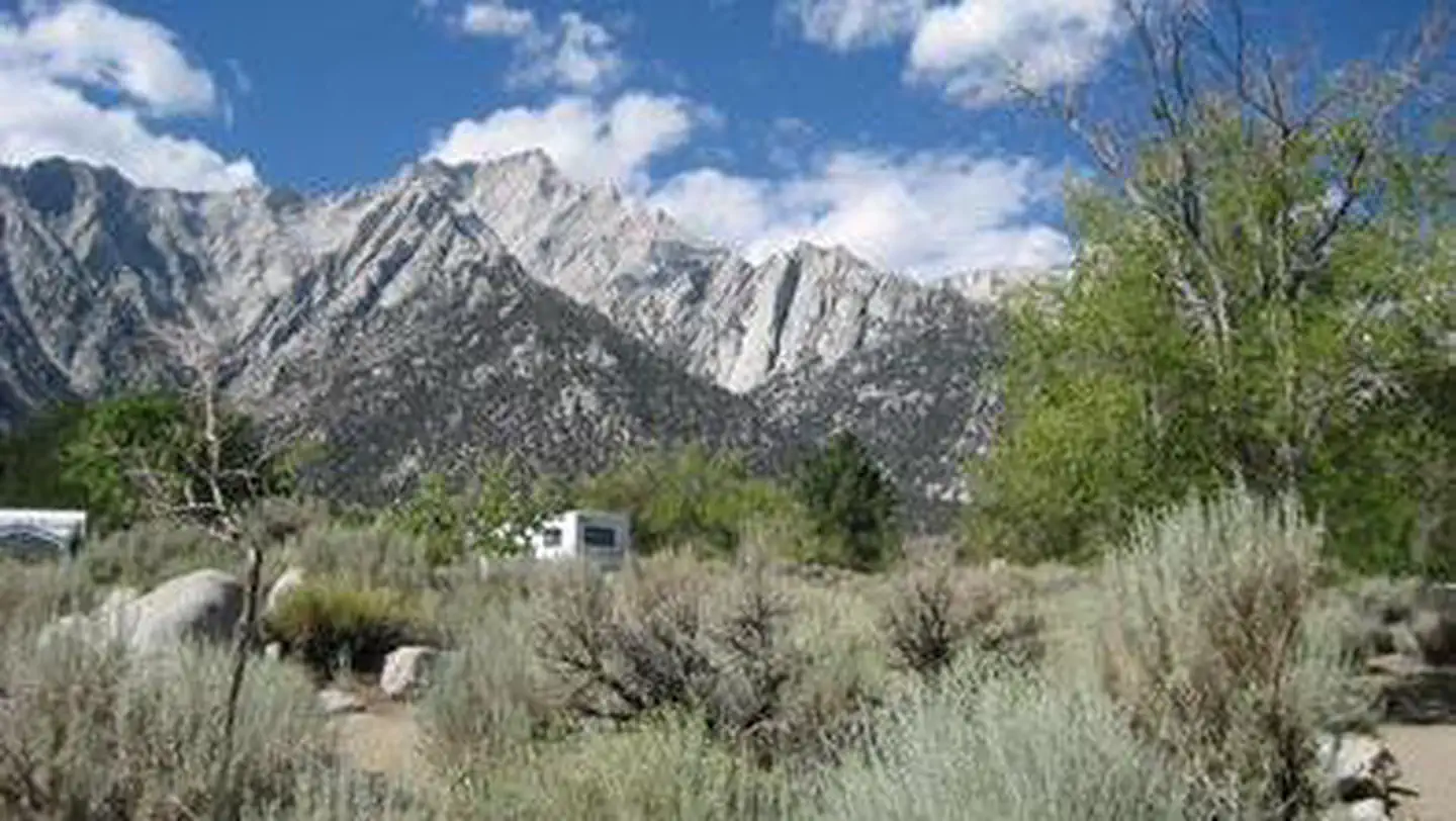
More trails near Mount Whitney Trail
Stay nearby
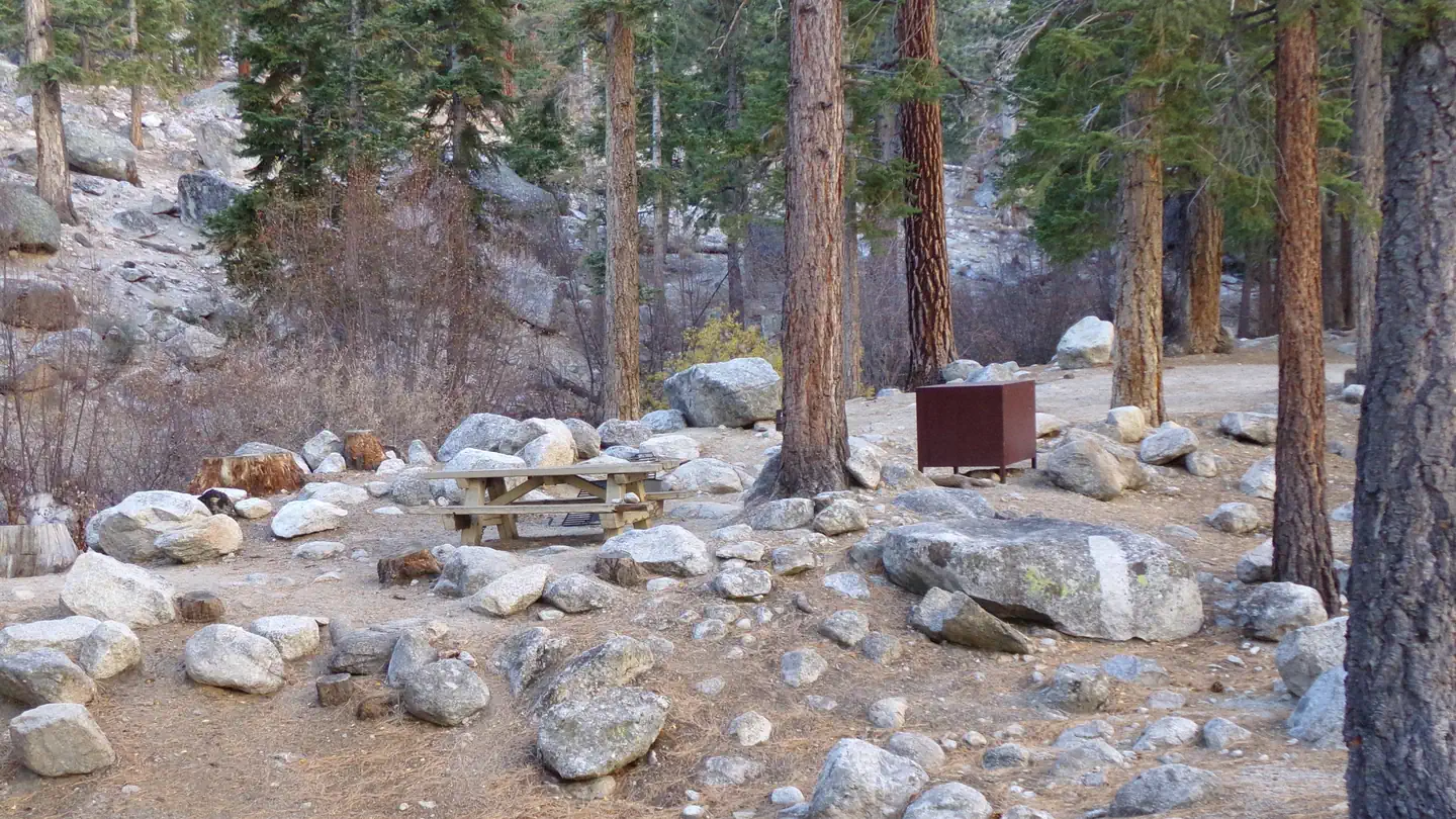
Campgrounds near this trail
Similar length
Similar trails in California

Half Dome
California
Mount Baldy via Devil's Backbone Trail
California
Big Pine Lakes Trail
California
Art Smith Trail
California
Los Penasquitos Canyon (from Lopez Canyon)
California
Heather Lake, Emerald Lake, and Pear Lake Trail via Watchtower and Pear Lake Trails
California