Status unknown — verify before visiting

We don't have current condition data for this trail. Check with the land manager before you go.
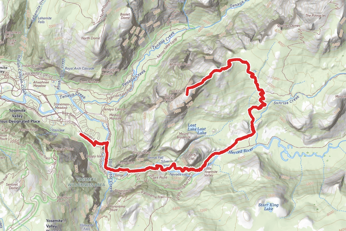
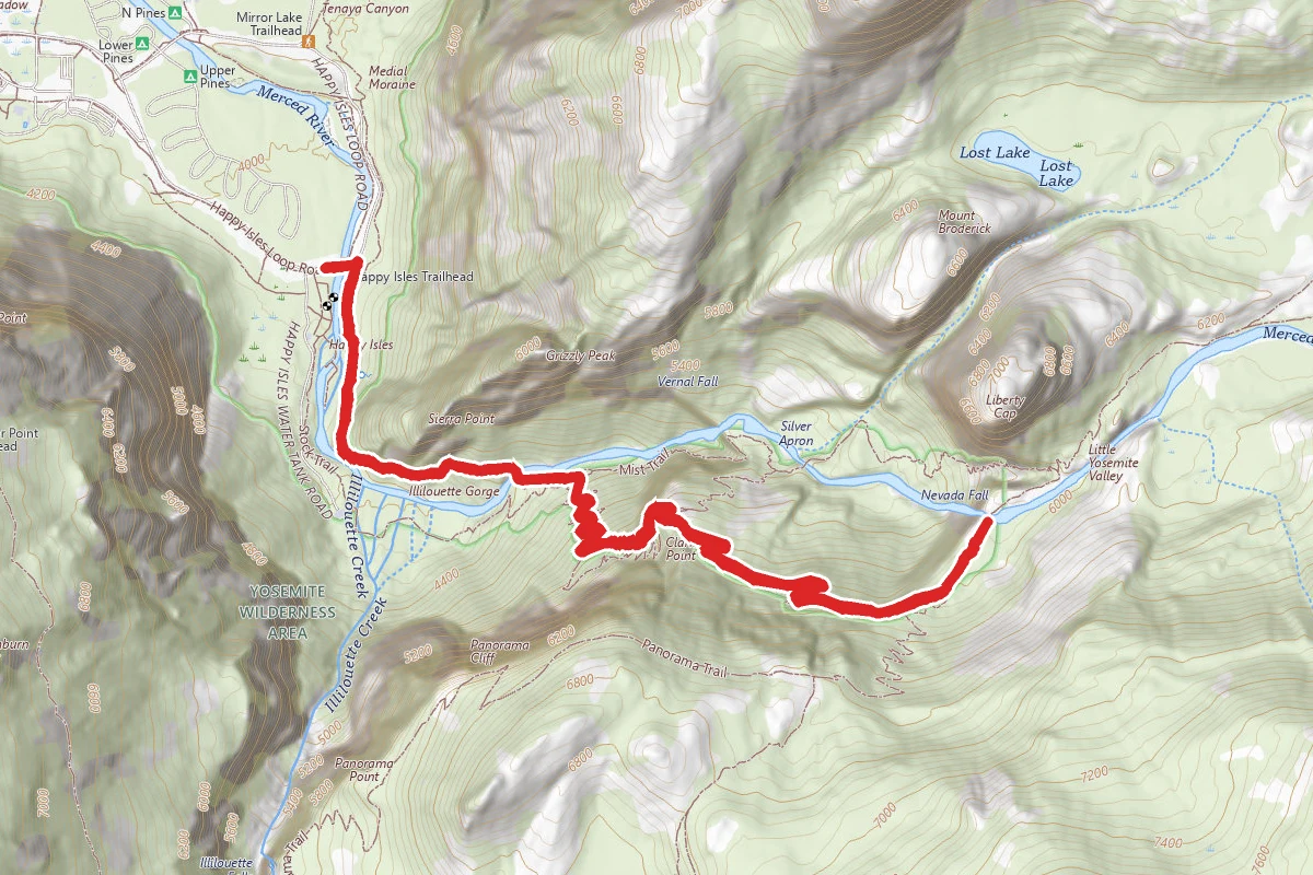
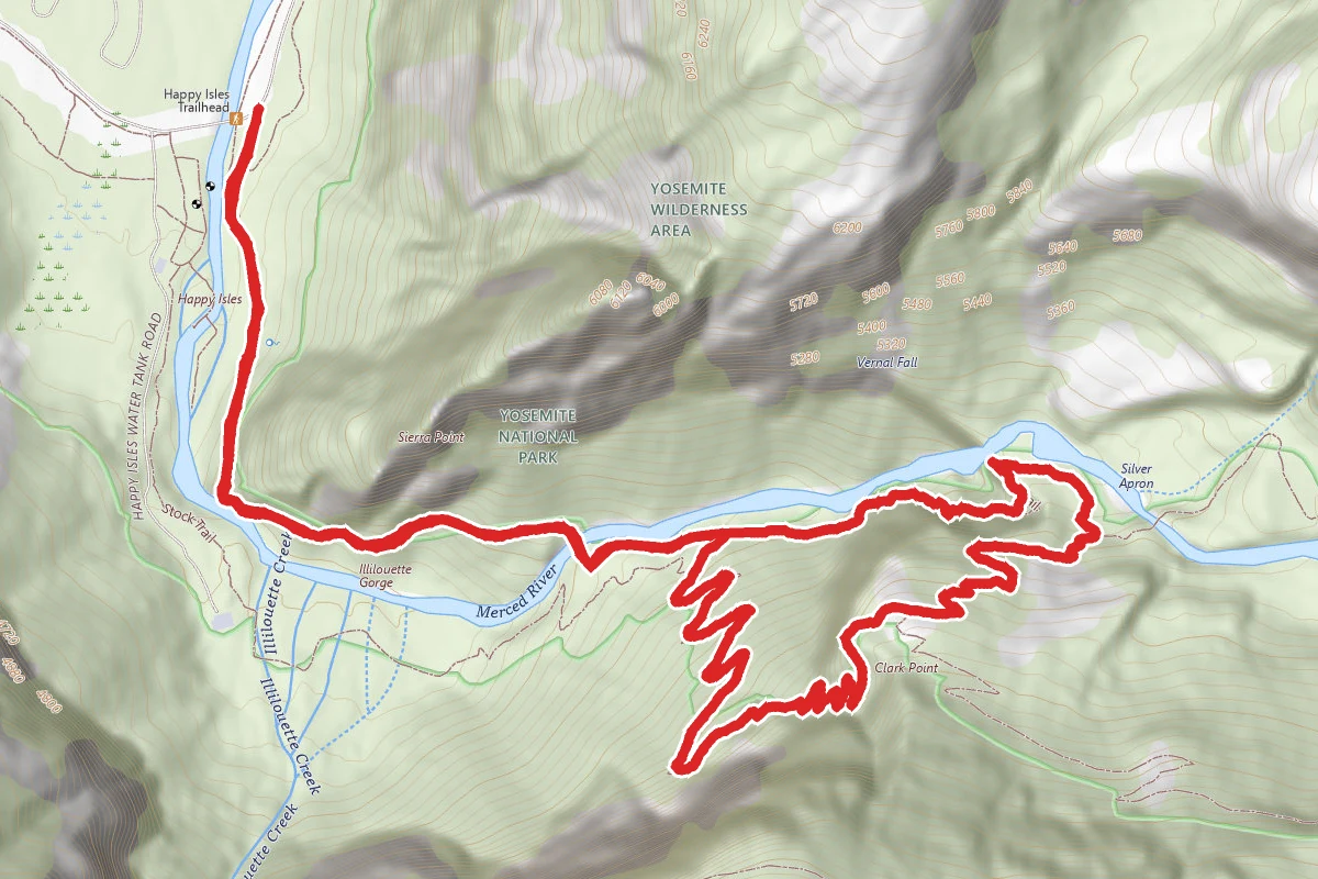
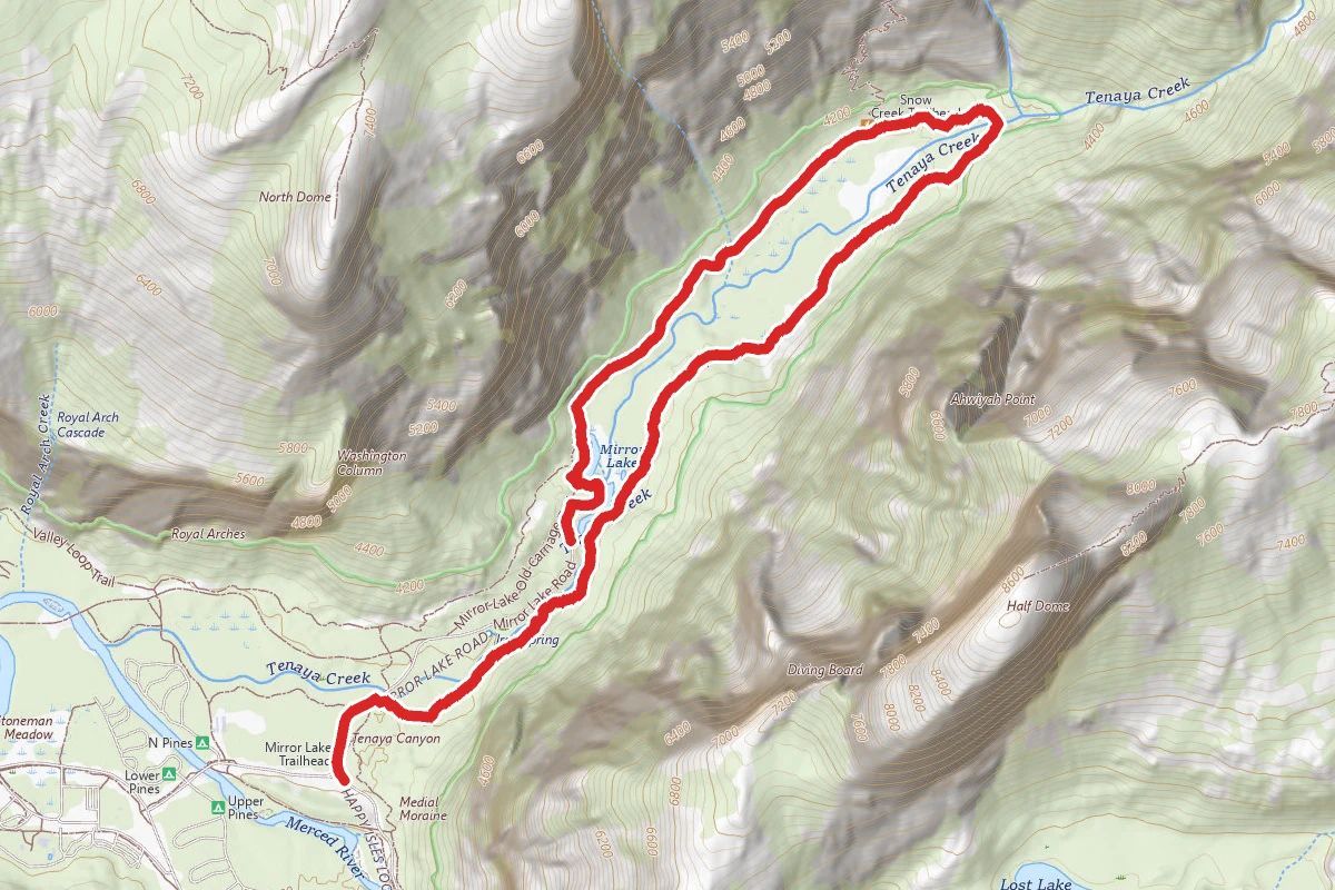
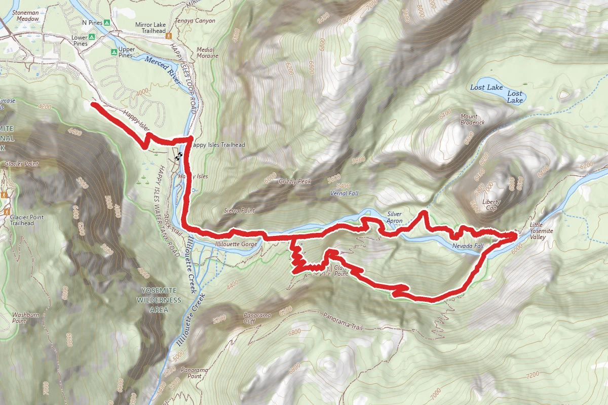
Half Dome Trail route map
ExpertOut and Back

Half Dome Trail

Yosemite Valley, California

14.8 mi

Distance

6,637 ft

Elev. Gain

7h 31m

Est. Time

Out & Back

Route Type

Expert

Difficulty

About This Trail

Imported description
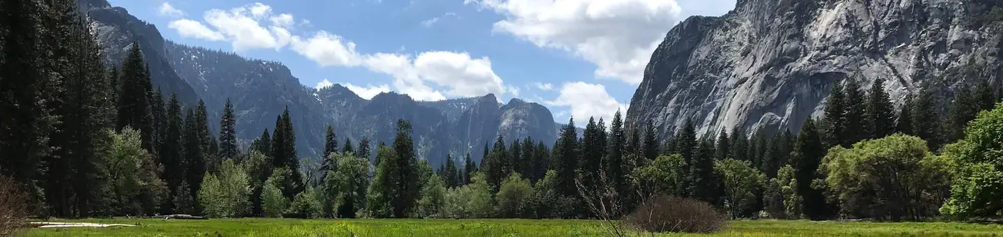
Half Dome is a serious endurance hike taking visitors 4800 feet above the Yosemite Valley to spectacular views of Vernal and Nevada Falls, Liberty Cap, Half Dome, and panoramic views of Yosemite Valley and the High Sierra. A permit is required for this hike, see below. Preparation and safety are key to having a fantastic experience. This is a hike that requires you to be in shape. Most take 10 to 12 hours to hike to Half Dome and back depending on the routes up and down. Plan to leave around sunrise (or earlier) and then have a non-negotiable turn-around time. The trail is fairly well marked but make sure you watch for all trail signs as you can miss them. The elevation gain is very strenuous, starting with steep climb in the beginning to Vernal Falls, followed by another steep climb to the top of Nevada Falls. After the second waterfall, there is about 1 mile of fairly level hiking until you reach Little Yosemite Campground, followed by steep switchbacks through the forest. At about 7 miles you will reach a break in the trees, with a beautiful view of the side of Half dome with the valley below. After some steep switchbacks carved like stairs into the rock, you will reach Half Dome with only 400 feet to go. These last 400 feet are the most challenging, but also the most rewarding (although you may not realize it until you are comfortably back on the valley floor). The famous part of the Half Dome hike is the ascent up the cable route. The two steel cables allow hikers to climb the last 400 feet to the summit without rock climbing equipment. The cables are around a 45-55 degree grade, with wooden supports every 10 to 20 feet to rest and maintain your balance. Using gloves is highly recommended to get a better grip and avoid painful blisters. Be sure to tightly secure your water bottles and cameras for the climb up, because you will want them once at the top. The Half Dome cables usually go up the Friday before Memorial Day (conditions permitting) and come down the day after Columbus Day. Compared to the hike up, the return journey flies by and before you know it you will be back at the top of Nevada falls. You have 2 options here: the Mist Trail, which is how you came up is about 3.4 miles (5.5km), or the John Muir Trail for a slight change of scenery (about 0.5 miles further). The waterfalls suddenly seem much more pleasant as you hike down compared to earlier uphill climb, and it's hard to hold back a smile as you reach the Vernal Falls bridge where you can refill your water (there are also facilities here). About 30 minutes later you are back at the trail head where you can catch a free shuttle to your car or anywhere else in the valley (there is a concession stand near the bus stop where you can buy cold drinks and ice cream). For Half Dome Permits visit the National Park Service website, recreation.gov or call the Yosemite Park Ranger Station.

Trail Conditions

Trail Conditions

Unknown

We have no current condition data for this trail. Check with the operator before you go, and submit a report below if you've been recently.

No recent condition reports. Be the first to share what you see on the trail.

Elevation Profile

Min:1,233 ft
Max:2,648 ft
2,023 ft
2,023 ft
1,233 ft1,705 ft2,176 ft2,648 ft0.0 mi3.7 mi7.4 mi11.1 mi14.8 mi

Trail Details

Route Type
Out & Back
Surface
Dirt

Official sources & verification

Managed by National Park Service

Verify before you go

Source of truth

Verify by phone or mail

  • Operator:209-372-0200
  • Address:9039 Village Drive · Yosemite, CA · 95389
We display cached information from agency feeds. Hours, fees, permits, closures, fire restrictions, and conditions change without notice. Outdoors is not the permitting authority. Confirm current conditions for this trail using the links above before you go — you are responsible for compliance. Last verified by us: May 23, 2026. Our copy is more than a month old — please reconfirm with the agency before relying on it.Spot an error in our data?

Reviews

No reviews yet

Be the first to share your experience and help others plan their visit.

Legacy import — verify before navigating

Path geometry came from our pre-launch legacy database. Routes have not yet been re-verified against the operator and may differ from the actual trail.

Hunt context

This trail crosses hunting units

During hunting seasons, wear blaze orange and check regulations — see the California hunting page

Spot an error in our data on Half Dome Trail?