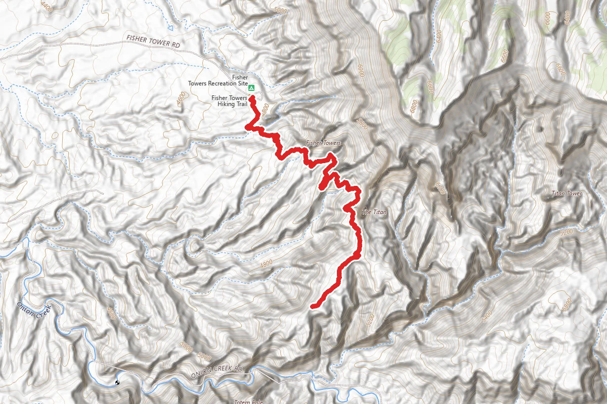
ModerateOut and Back
4.4 mi
Distance
833 ft
Elev. Gain
2h 11m
Est. Time
Out & Back
Route Type
Moderate
Difficulty
About This Trail
A single-track BLM National Recreation Trail that winds roughly 2.2 miles (one way) through the Fisher Towers, a maze of soaring sandstone fins, spires, and pinnacles northeast of Moab off UT-128. The cairned route dips into side canyons and traverses beneath vertical cliffs, ending near the base of the Titan with distant views of the Colorado River, Castle Valley, and the La Sal Mountains. It is administered by the BLM Moab Field Office and starts at a small trailhead and campground with a vault toilet.
Trail Conditions
Trail Conditions
Open
Updated Yesterday
No recent condition reports. Be the first to share what you see on the trail.
Hazards & Warnings
no shadeheatexposed ledgescliff exposurefalling rock from climbers overhead
Trail Details
- Route Type
- Out & Back
- Surface
- Mixed Surface
Official sources & verification
Source of truth
- Agency source page
The page our published rules and notes are derived from.
Best Seasons
Highlights
Fisher Towers sandstone spires (Ancient Art, Cottontail Tower, the Titan)Onion Creek badlandsColorado River, Castle Valley, Fisher Mesa, and Book Cliffs viewsPopular technical rock-climbing area
Reviews
No reviews yet
Be the first to share your experience and help others plan their visit.
Imported route
Hunt context
This trail crosses hunting units
During hunting seasons, wear blaze orange and check regulations — see the Utah hunting page
Nearby Trails
More trails near Fisher Towers Trail
Stay nearby
Campgrounds near this trail
Fisher Towers National Recreation Trail
0 mi away · UT
- Reservable
Lower Onion Creek Campground
1.9 mi away · UT
Upper Onion Creek Camping Area
1.9 mi away · CO
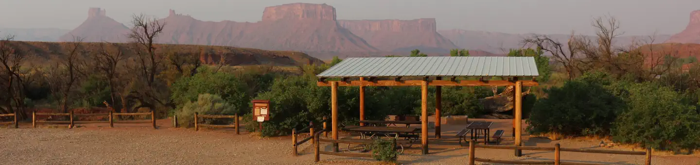
BLM Lower Onion Creek Camping Area
2.4 mi away · UT
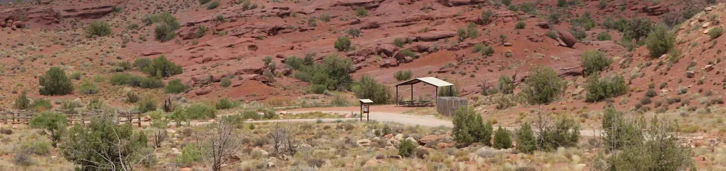 Reservable
Lower Onion Creek Group Sites
2.5 mi away · UT
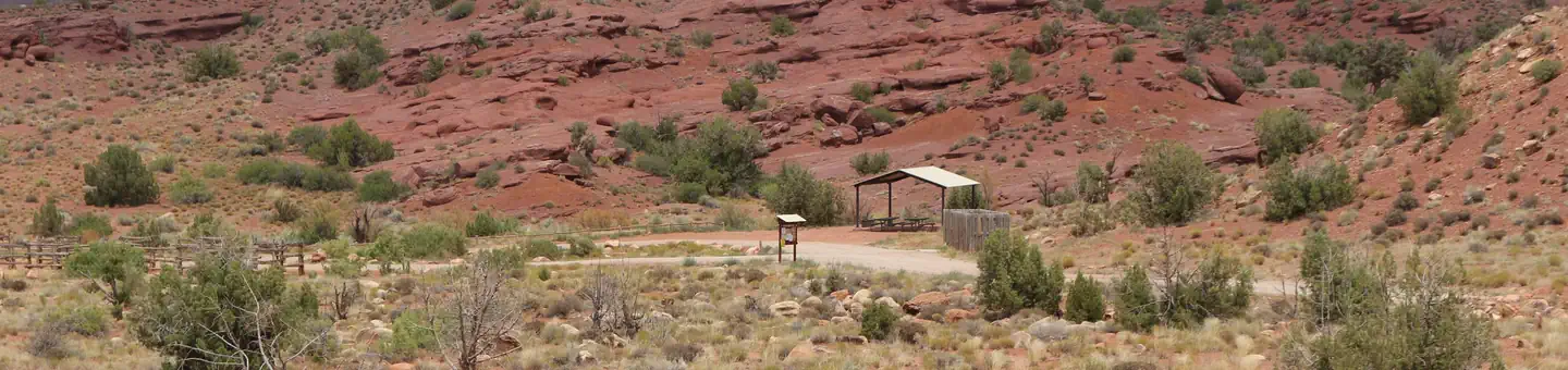 Reservable
Upper Onion Creek Group Site
2.5 mi away · UT
Similar length
Similar trails in Utah
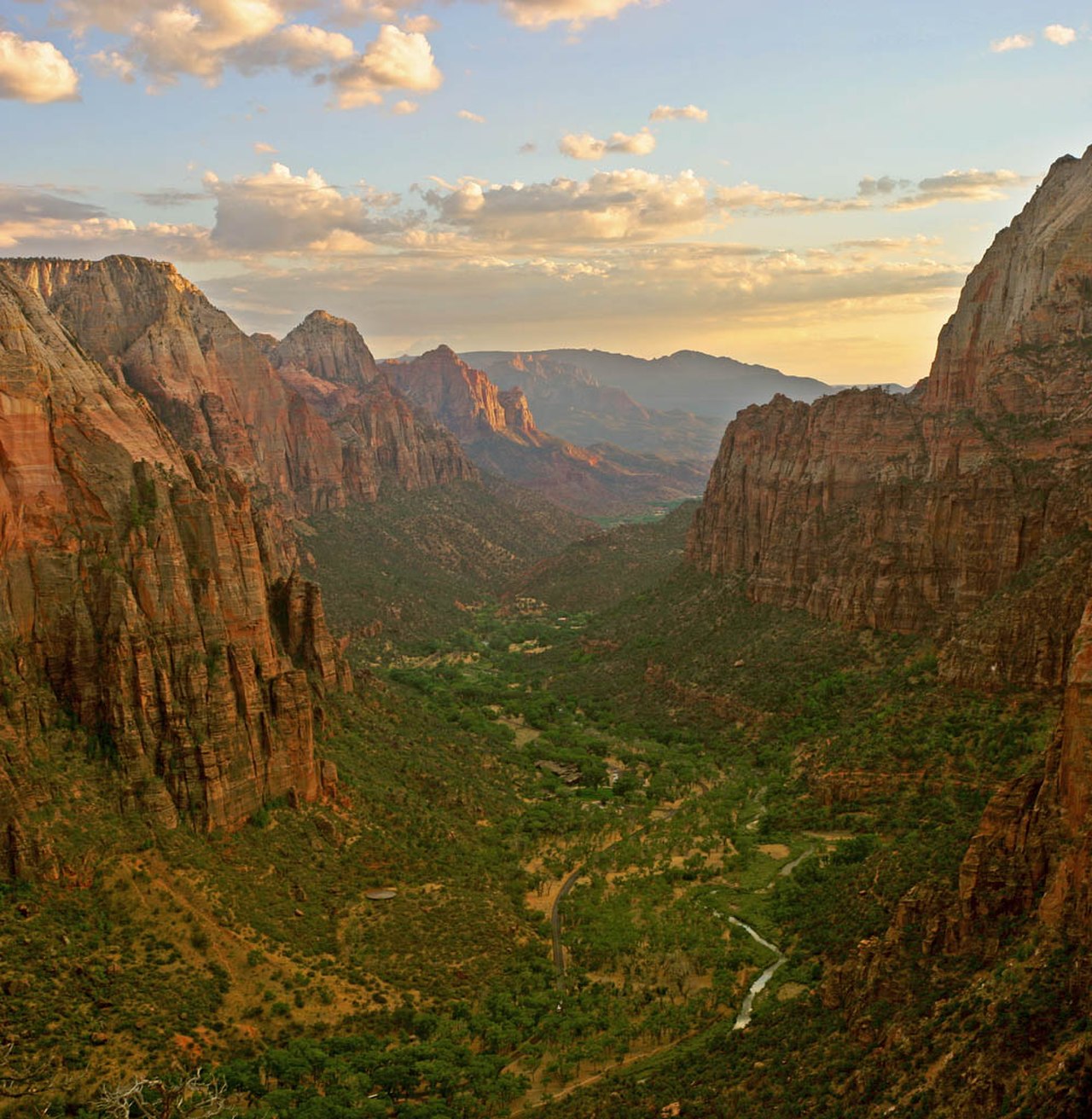
Angels Landing
Utah
5.4 mi1,490 ftgain
TrailExpert Permit
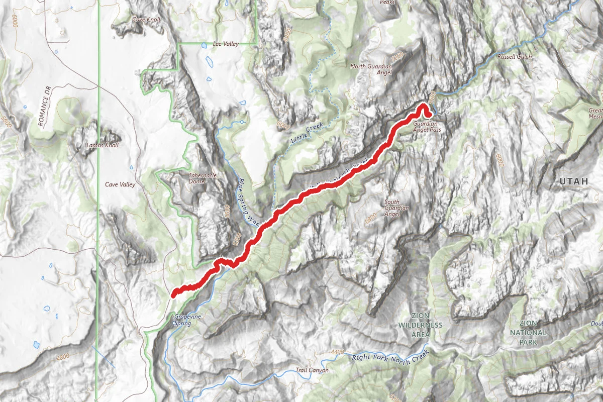
The Narrows (Bottom-Up)
Utah
3.5 mi335 ftgain
TrailModerate

Delicate Arch Trail
Utah
3.0 mi538 ftgain
TrailDifficult
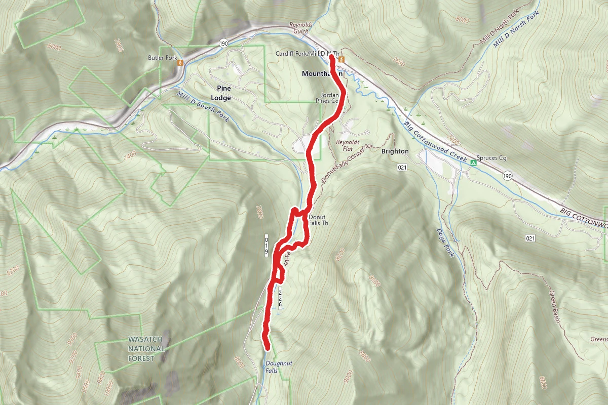
Donut Falls Trail
Utah
3.0 mi745 ftgain
TrailModerate
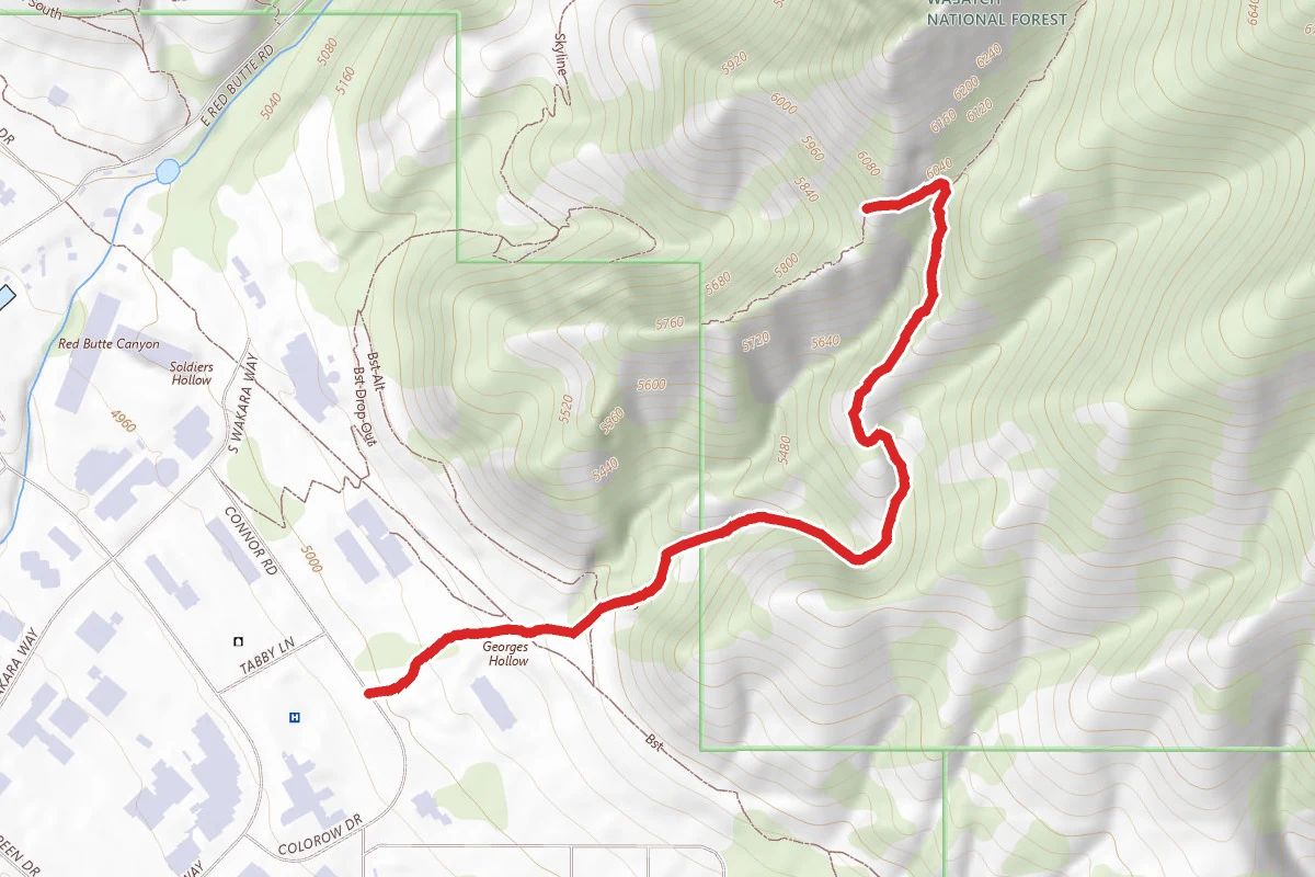
The Living Room Lookout Trail
Utah
2.3 mi1,076 ftgain
TrailModerate
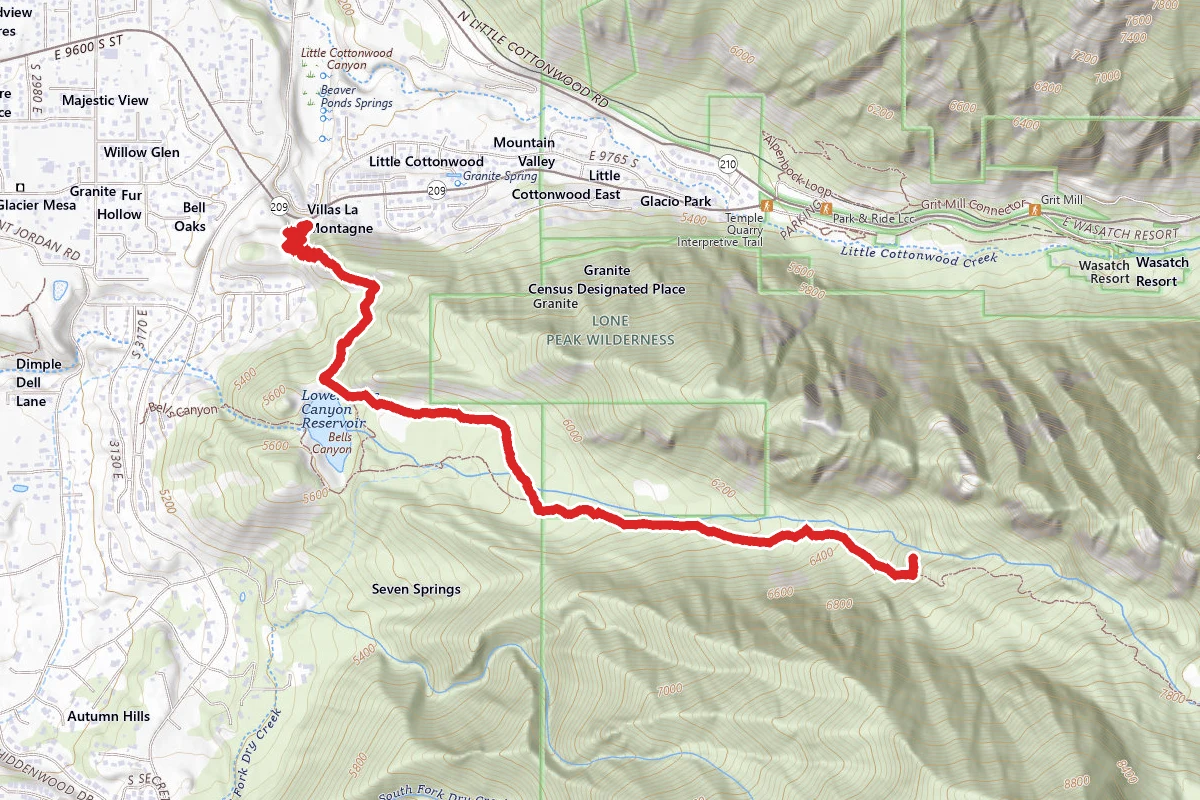
Bells Canyon Trail to Lower Falls
Utah
4.6 mi1,801 ftgain
TrailDifficult
Spot an error in our data on Fisher Towers Trail?