Status unknown — verify before visiting

We don't have current condition data for this trail. Check with the land manager before you go.

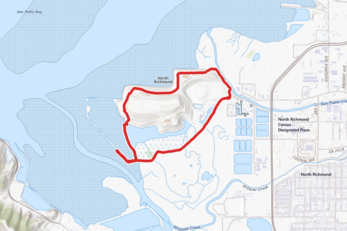
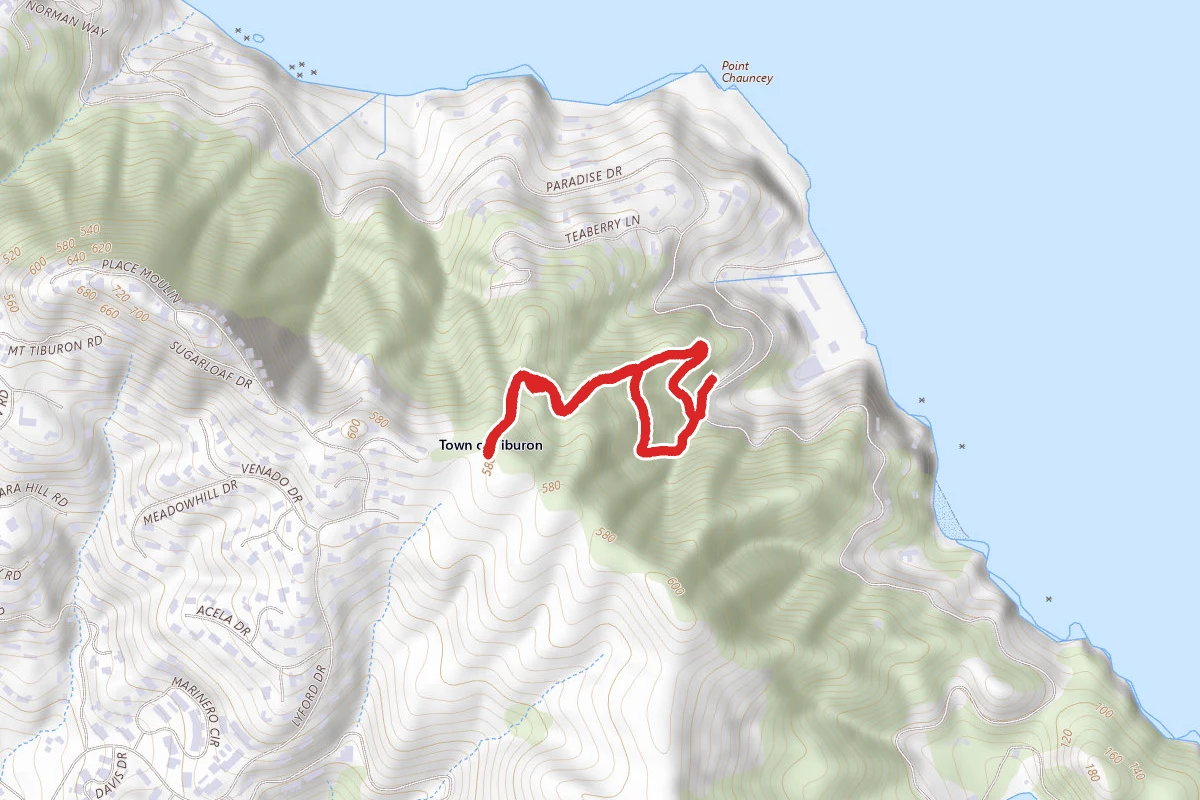
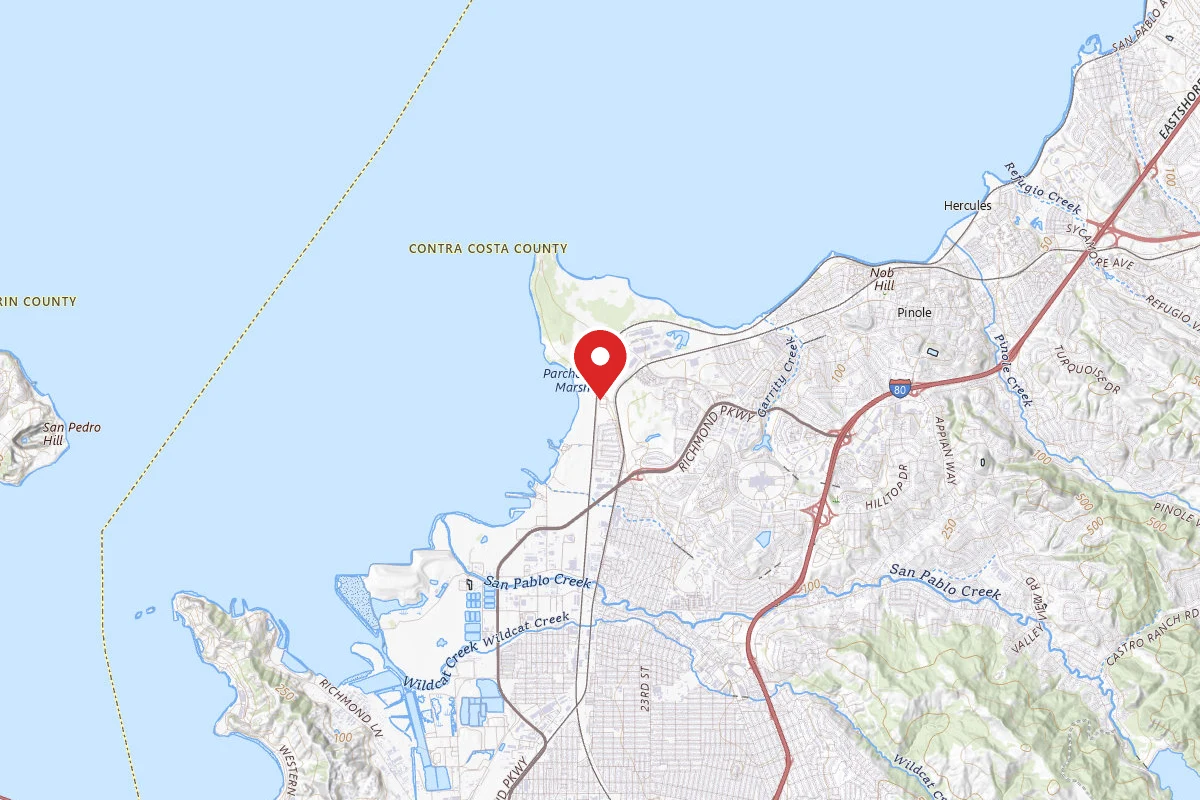
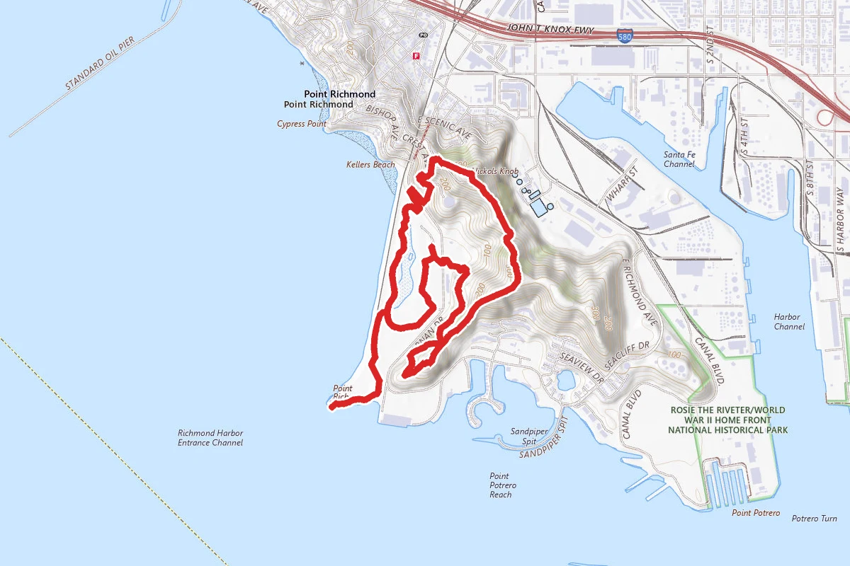
Bay, Marine View, Crest and West Trail Loop route map
ModerateLoop

Bay, Marine View, Crest and West Trail Loop

Richmond, California

3.9 mi

Distance

764 ft

Elev. Gain

1h 30m

Est. Time

Loop

Route Type

Moderate

Difficulty

About This Trail

Imported description
This trail not only features several sites of key importance to the park’s history, Ferry Point and Nicholl Knob, it also provides sweeping views from the hillcrest of the East Bay, the San Francisco Bay and beyond. Please note, sections of the trail are very steep and uneven. Trail Directions: From Ferry Point Parking Lot, head west to Ferry Point. At the point, follow the San Francisco Bay Trail along the shoreline. At the lagoon, turn left to continue on San Francisco Bay Trail along the west side of the lagoon. At the restroom, turn left and follow the trail up to Dornan Drive, following Dornan Drive to the left until you reach Western Drive, just before the tunnel. Cross safely at the crosswalk and turn left. After about 100 ft, turn right at the sign that says “path” and follow the trail uphill towards Belvedere Ave. At Belvedere Ave, continue right and up the dirt path. You will intersect with Old Country Road; make a left and continue for about 800 feet. Turn left at the fork onto Marine View Trail, then after about 200 feet, turn left to connect to Crest Trail. At the paved road, turn left and head about 100 feet towards the gate. At the gate, turn right onto Crest Trail and follow to the top of the hill at Nicholl Knob. After admiring the view, to continue, follow the paved road for about 300 feet until you reach the sign for Crest Trail, then turn left. Continue for .23 miles along the ridge, descend the steps, and continue on Crest until you reach False Gun lookout. From the lookout circle, head to the west, steeply downhill onto West Ridge Trail. Follow West Ridge Trail for .36 miles. At the next signpost, take the steep path up the hill to West Ridge Point. From there, continue straight on West Ridge Trail, then make a left at the next signpost to follow West Ridge Trail to Dornan Drive. Carefully cross Dornan Drive and head left for .1 miles to return to Ferry Point Parking Lot.

Trail Conditions

Trail Conditions

Unknown

We have no current condition data for this trail. Check with the operator before you go, and submit a report below if you've been recently.

No recent condition reports. Be the first to share what you see on the trail.

Elevation Profile

Min:-3 ft
Max:100 ft
233 ft
233 ft
-3 ft31 ft66 ft100 ft0.0 mi1.0 mi1.9 mi2.9 mi3.9 mi

Trail Details

Route Type
Loop
Surface
Dirt

Official sources & verification

We don't have curated agency sources for this trail in our cache yet. Outdoors is not the permitting authority — confirm conditions, permits, and access with the managing agency before you go. If you know who manages this trail, please tell us.

Reviews

No reviews yet

Be the first to share your experience and help others plan their visit.

Legacy import — verify before navigating

Path geometry came from our pre-launch legacy database. Routes have not yet been re-verified against the operator and may differ from the actual trail.
Spot an error in our data on Bay, Marine View, Crest and West Trail Loop?