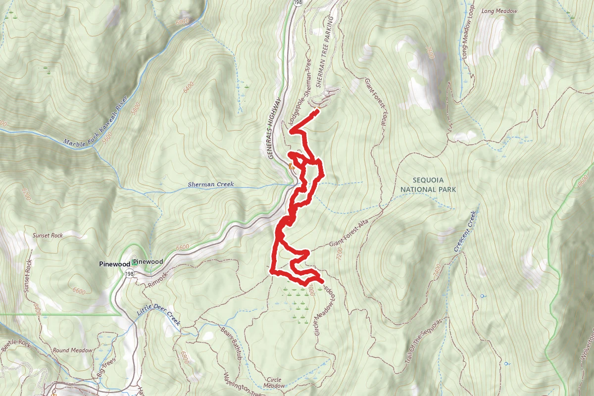
3.0 mi
Distance
869 ft
Elev. Gain
Loop
Route Type
Moderate
Difficulty
About This Trail
Congress Trail is a loop trail in Sequoia National Park, managed by the National Park Service, in Tulare County, California. It is 3 miles long and gains 869 feet. The nearest town is Silver City, California, about 10 miles away in a straight line.
From the trail data on this page. For conditions and closures, see official sources.
Trail Conditions
Trail Conditions
We have no current condition data for this trail. Check with the operator before you go, and submit a report below if you've been recently.
No recent condition reports. Be the first to share what you see on the trail.
Elevation Profile
| Point | Distance from start | Elevation |
|---|---|---|
| Start | 0.0 mi | 2,177 ft |
| High point | 1.4 mi | 2,182 ft |
| End | 3.0 mi | 2,177 ft |
Trail Details
- No dogs
- Route Type
- Loop
Official sources & verification
Managed by National Park Service
Source of truth
- Agency source page
The page our published rules and notes are derived from.
- Sequoia and Kings Canyon pets
National Park Service
- National Park Service unit page
Alerts, conditions, and the unit's plan-your-visit page.
Where it is
- Nearest town:
- Silver City, CA · about 10 mi away
- County:
- Tulare County, CA
- Jurisdiction:
- Sequoia National Park · National Park Service
Nearest town and county from U.S. Census Bureau place records and county boundaries.
Verify by phone or mail
- Operator:559-565-3341
Highlights
Reviews
No reviews yet
Be the first to share your experience and help others plan their visit.
Legacy import — verify before navigating
Path geometry came from our pre-launch legacy database. Routes have not yet been re-verified against the operator and may differ from the actual trail.
Nearby Trails
More trails near Congress Trail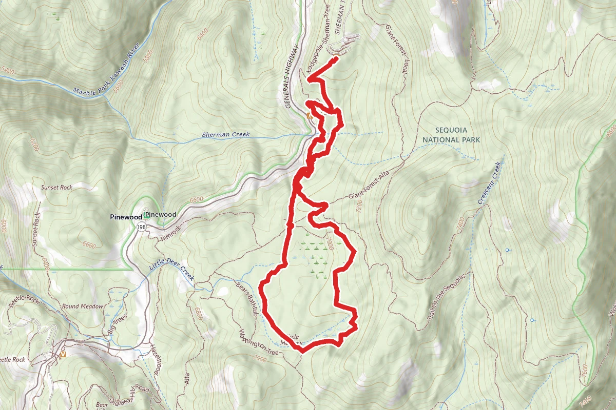
Circle Meadows via Congress Trail
0.0 mi away
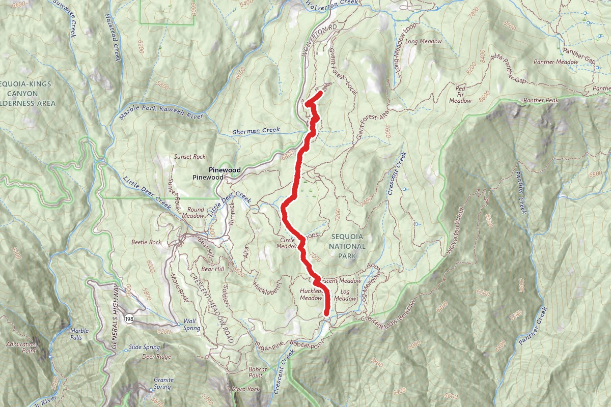
Huckleberry Meadow Trail
0.0 mi away
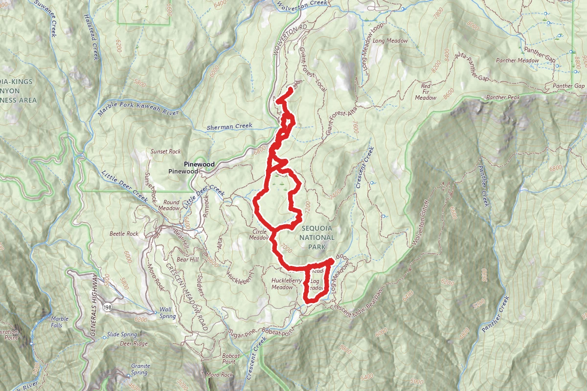
Congress Trail to Tharp's Log Trail
0.0 mi away
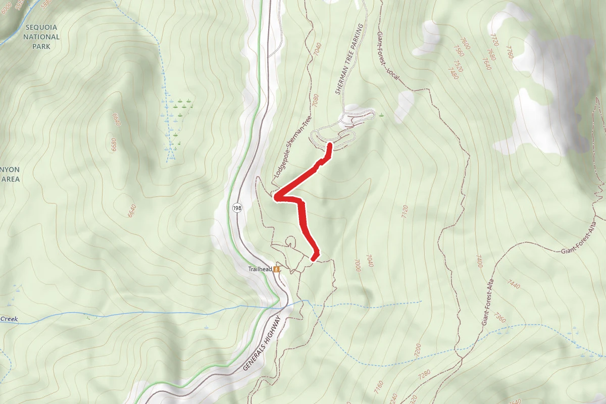
General Sherman Tree Trail
0.0 mi away
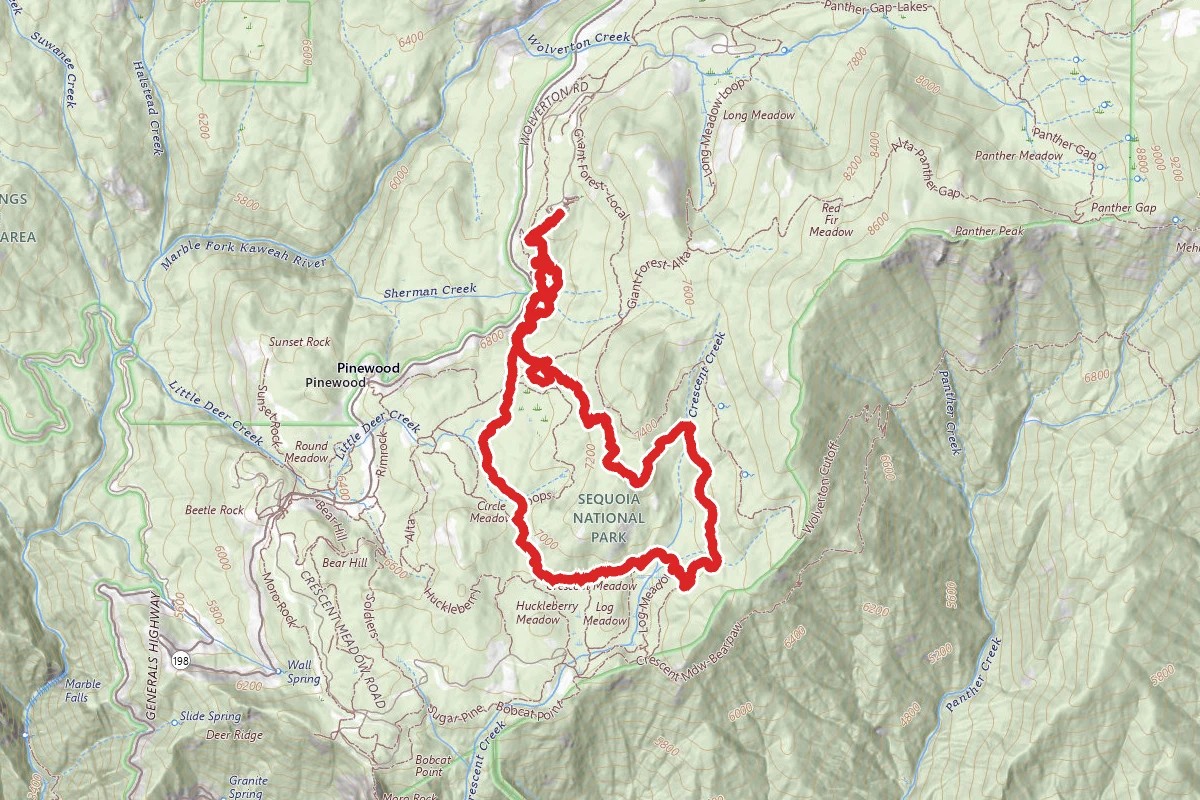
Giant Forest Loop Trail
0.0 mi away
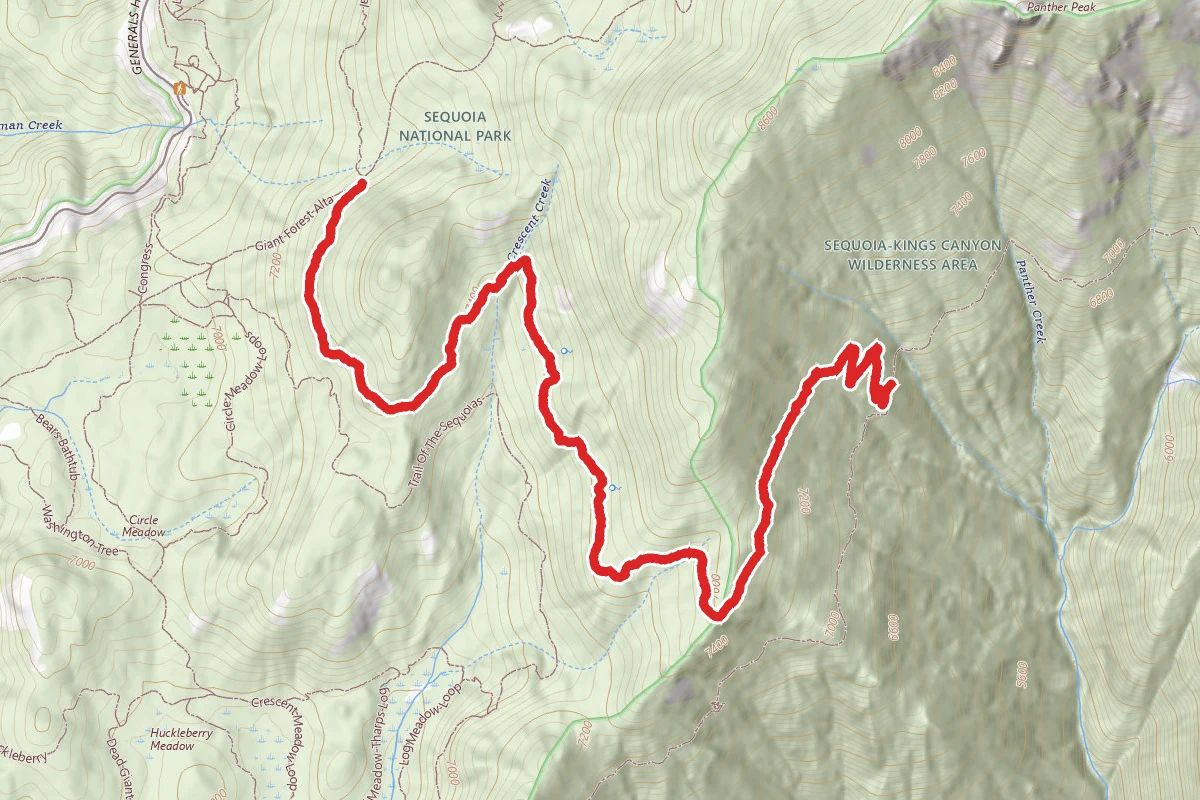
Wolverton Cutoff Trail
0.6 mi away
In this park
Other trails in Sequoia National Park
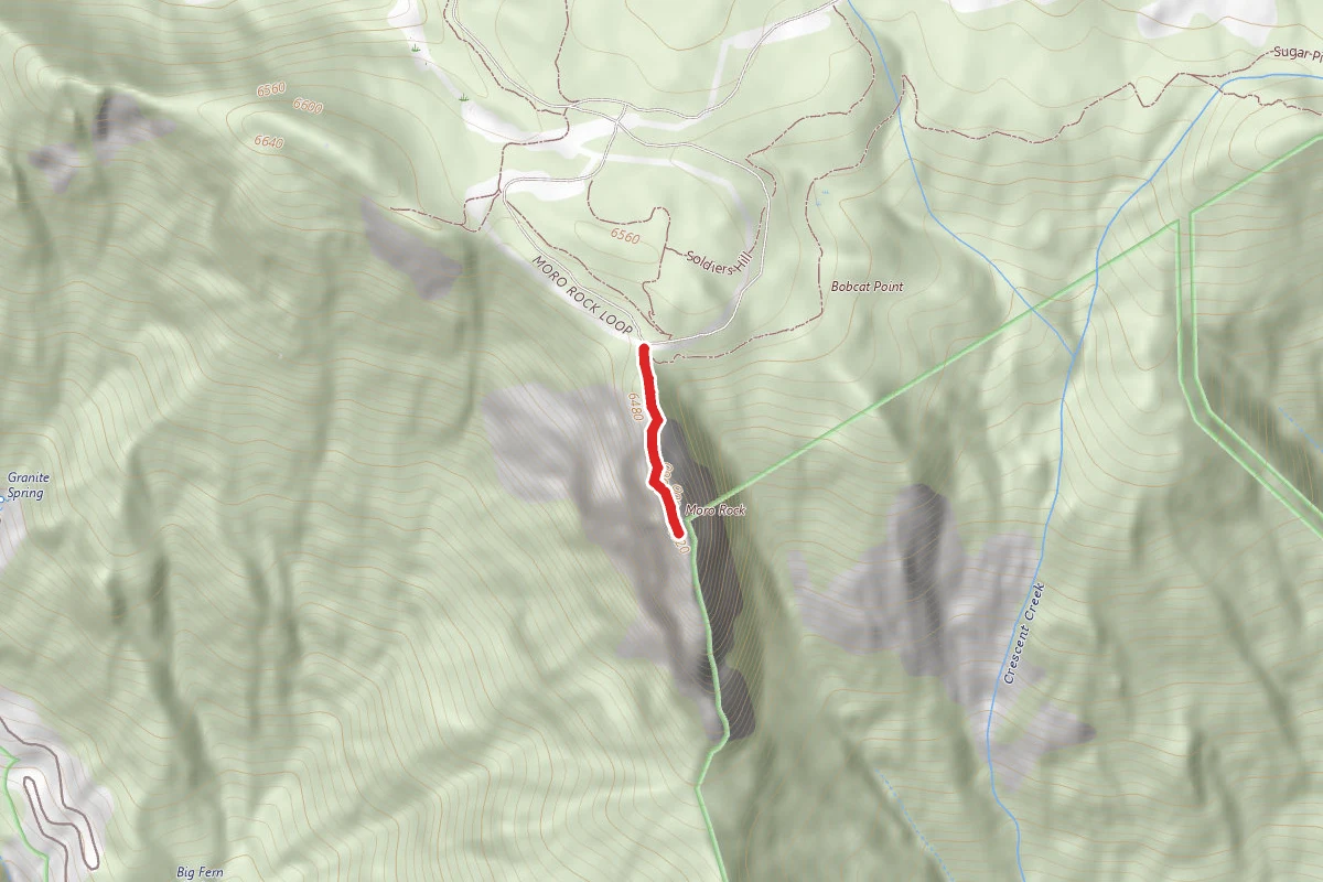
Moro Rock Trail
California
High Sierra Trail
California
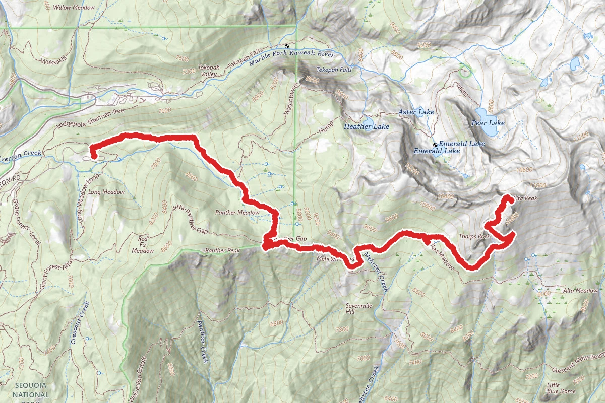
Alta Peak Trail
California
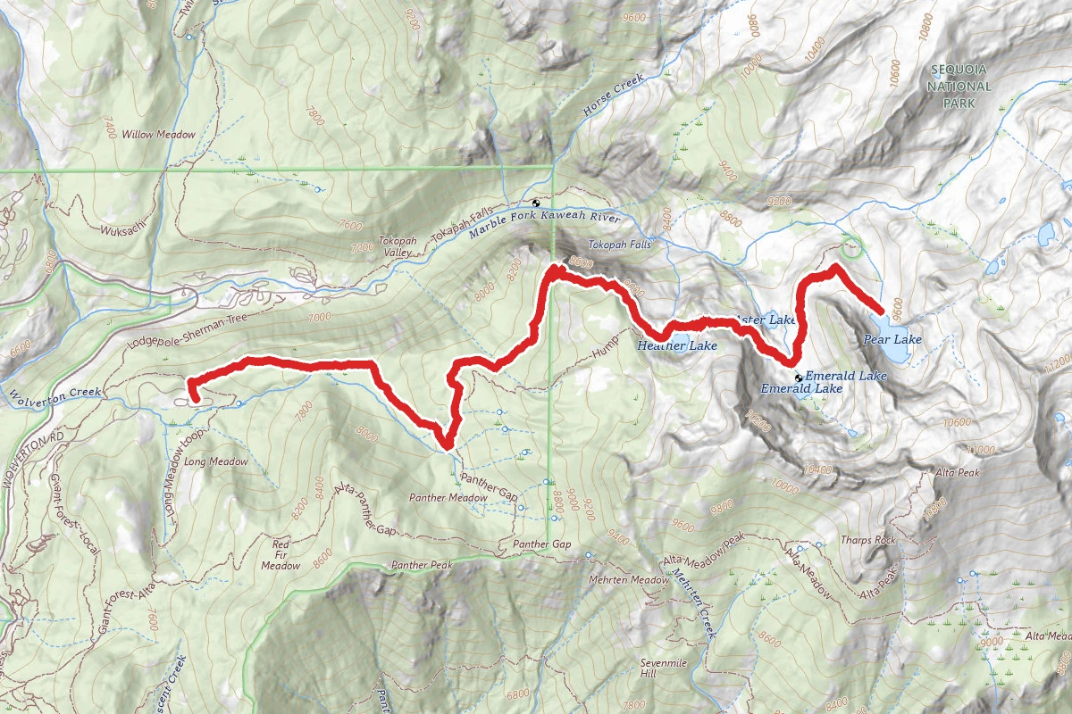
Heather Lake, Emerald Lake, and Pear Lake Trail via Watchtower and Pear Lake Trails
California
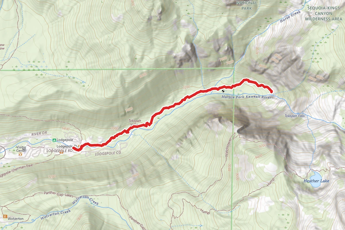
Tokopah Falls via Tokopah Valley Trail
California
General Sherman Tree Trail
California
Stay nearby
Campgrounds near this trail
Lodgepole Campground-Sequoia and Kings Canyon National Park
2 mi awaySequoia National Park
Three Rivers, CA
Check official pricing206 sitesNational Park Reservable TentRV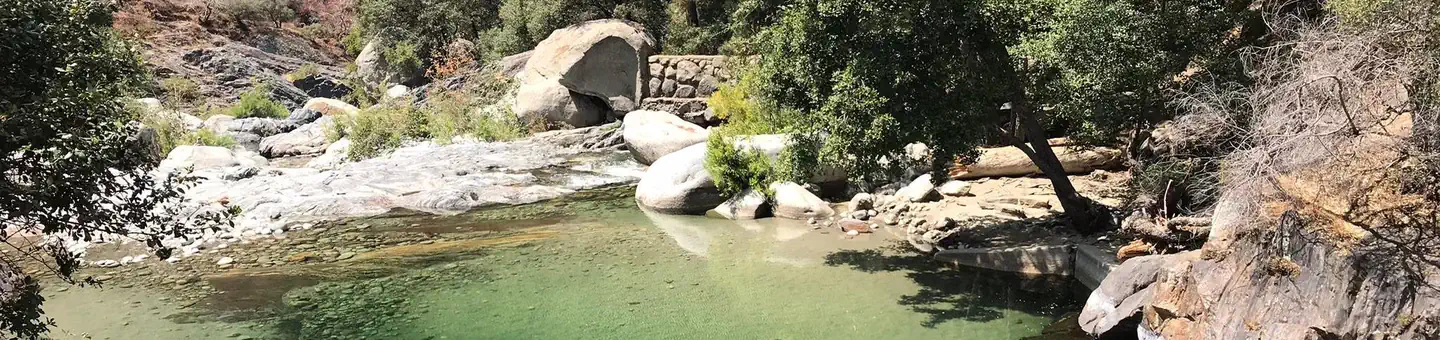
Buckeye Flat Campground
4.4 mi awaySequoia National Park
Three Rivers, CA
Check official pricing28 sitesReservable Tent Well reviewed No Service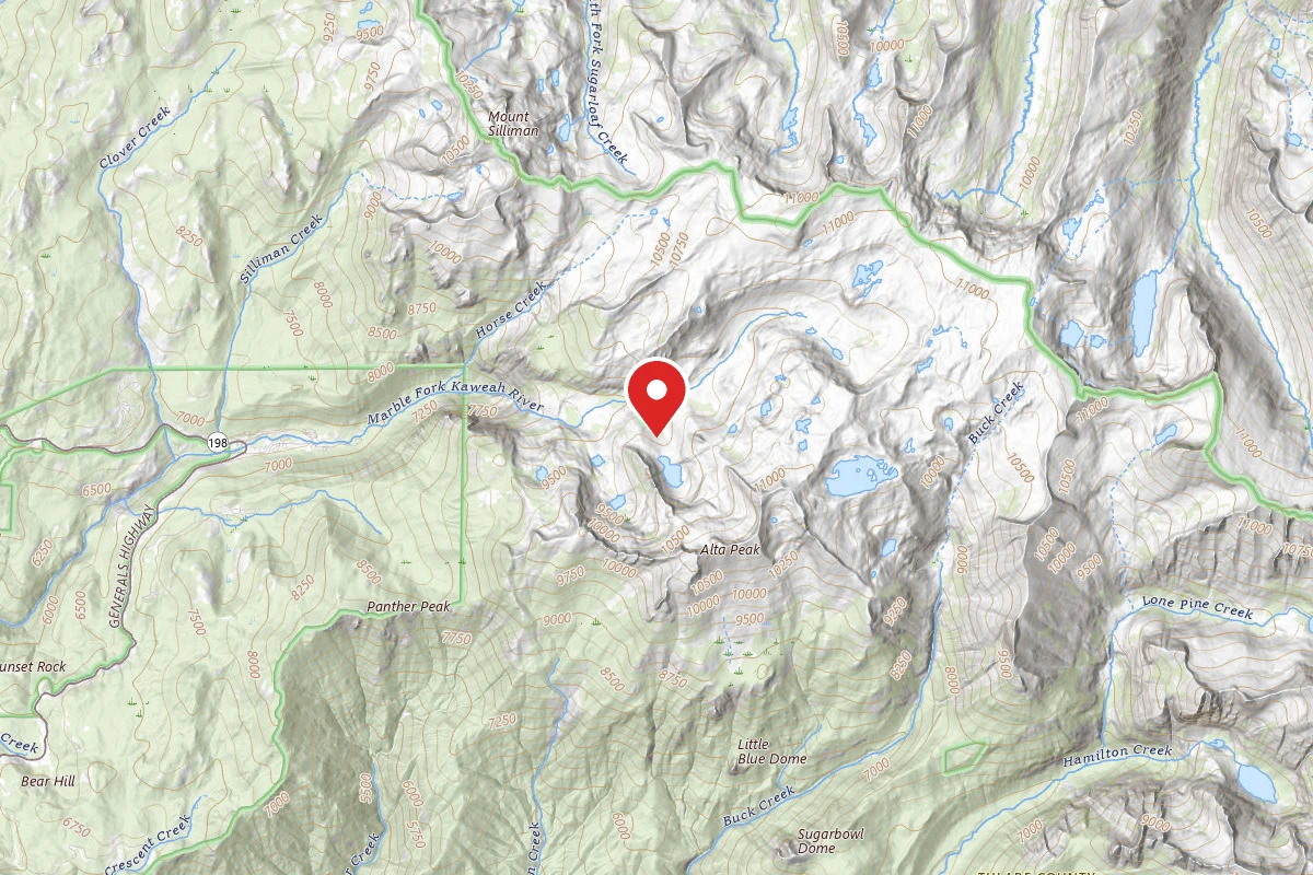
Pear Lake Winter Hut
4.7 mi awaySequoia National Park
Sequoia National Park, CA
Reservable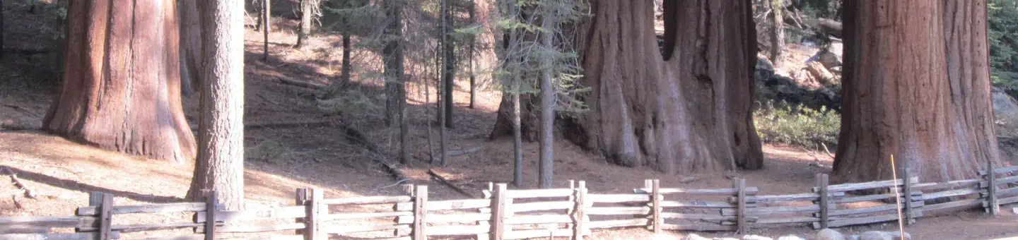
Dorst Creek Campground
4.8 mi awaySequoia National Park
Three Rivers, CA
Check official pricing204 sitesReservable TentRV Well reviewed No Service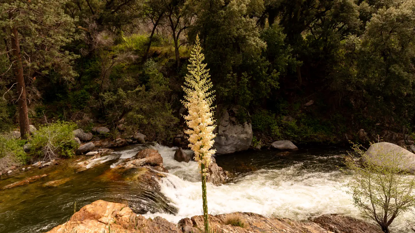
Potwisha Campground
5.4 mi awaySequoia National Park
Three Rivers, CA
Check official pricing40 sitesReservable TentRV Very popularModerate demand · 59% No Service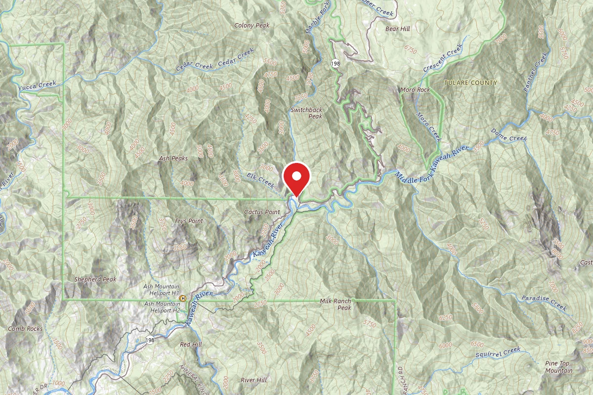
Similar length
Similar trails in California
Mist Trail to Vernal Fall
California
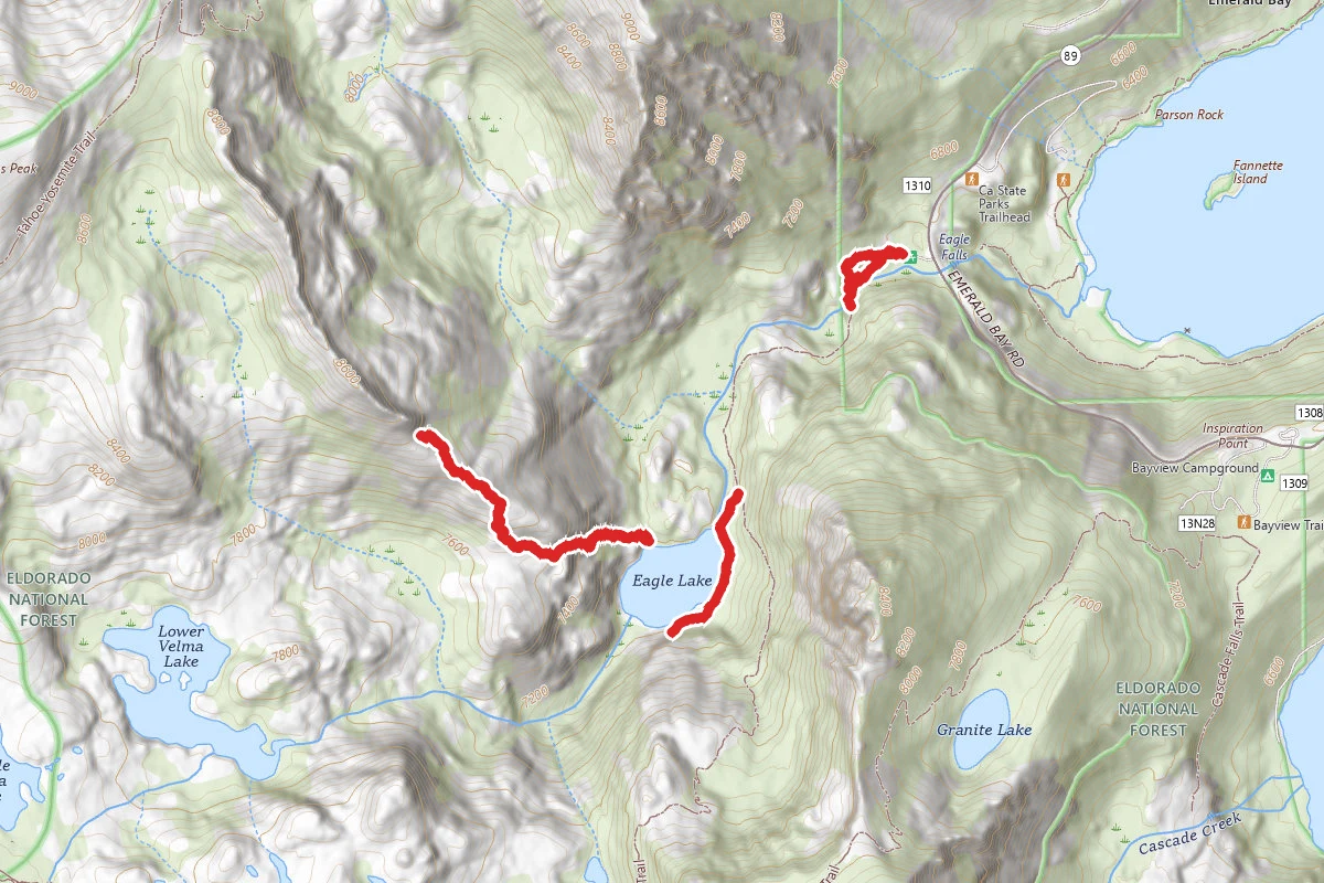
Eagle Lake Trail
California
Lassen Peak
California
Ryan Mountain Trail
California
Gower Gulch Loop Trail
California
Mountain Home Inn to Mount Tam East Peak
California