Status unknown — verify before visiting

We don't have current condition data for this trail. Check with the land manager before you go.
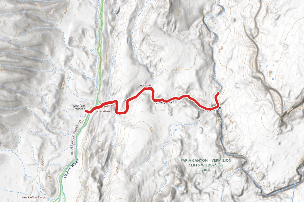
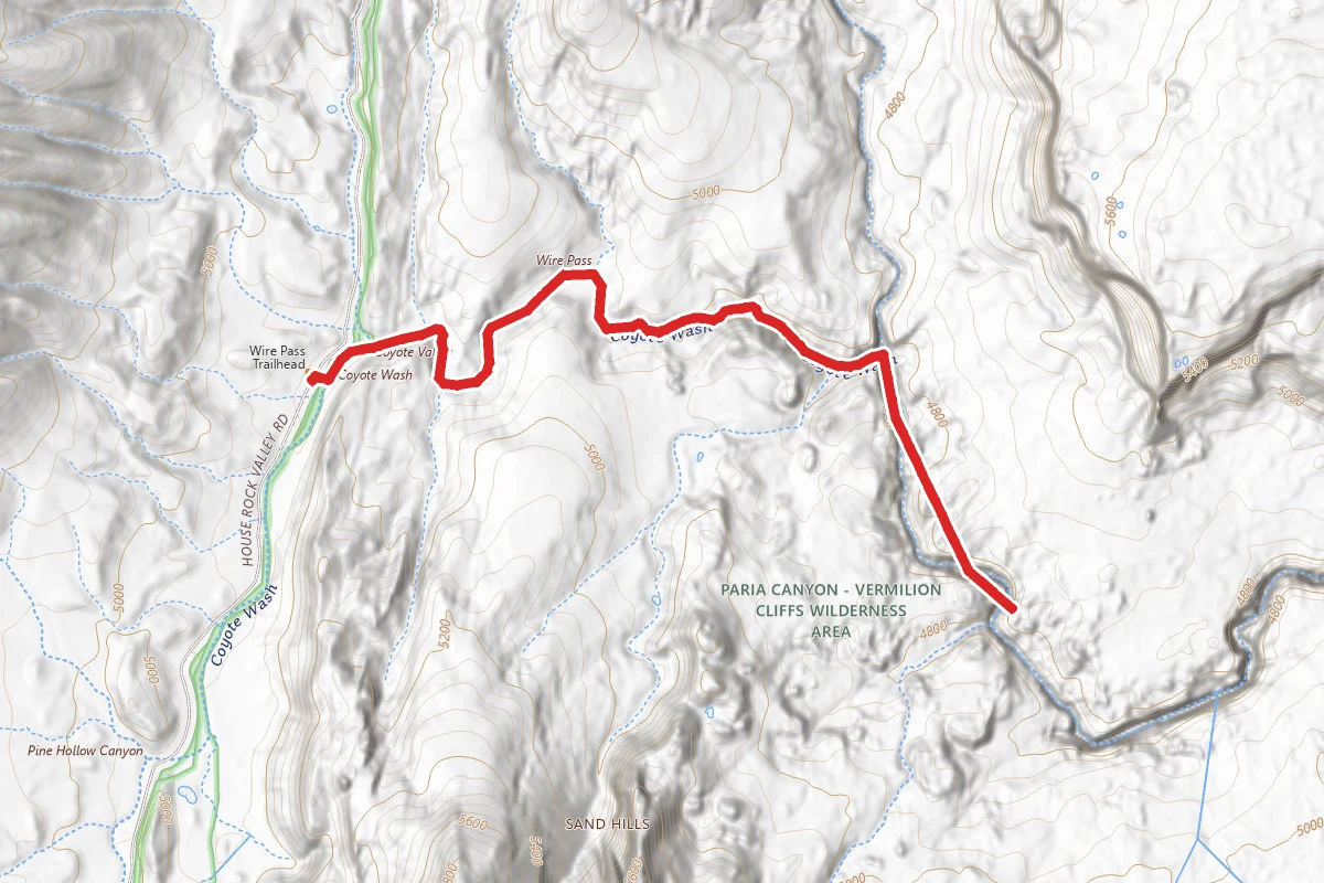
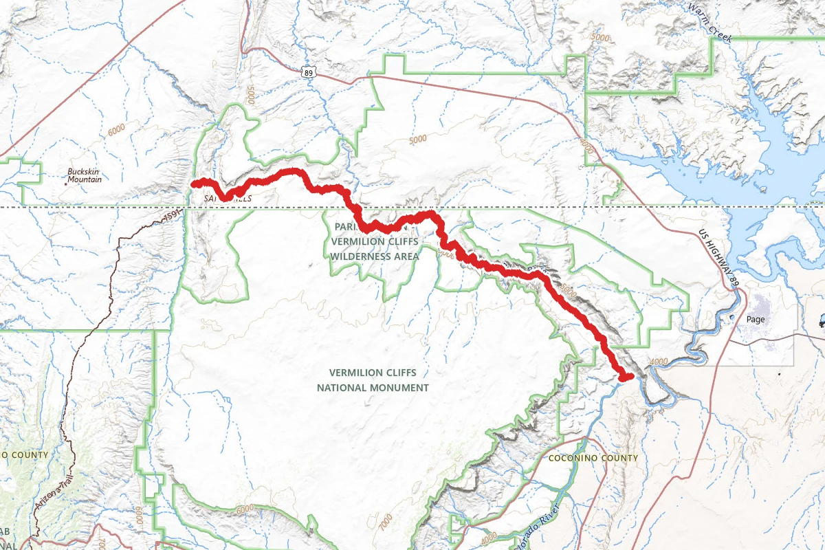
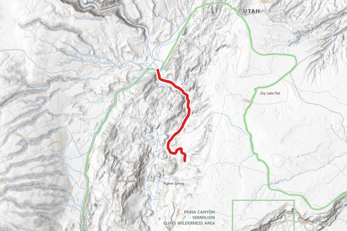
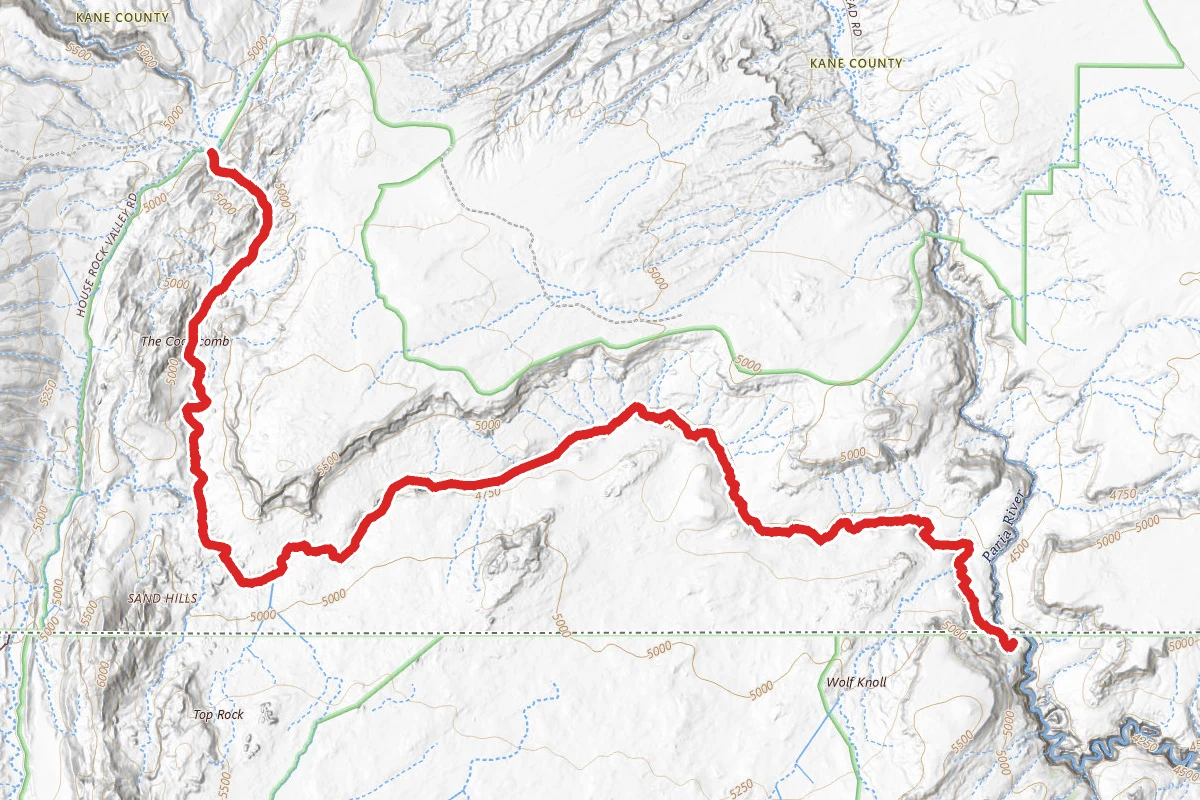
Wire Pass Trail route map
ModerateOut and Back

Wire Pass Trail

Kanab, Utah

3.7 mi

Distance

597 ft

Elev. Gain

1h 21m

Est. Time

Out & Back

Route Type

Moderate

Difficulty

About This Trail

Imported description
Note: $6 per person to enter the BLM land Wire Pass is a short drainage that joins the much longer Buckskin Gulch slot canyon, and provides a convenient entrance point, enabling hikers to bypass the upper 4 miles of the gulch which are shallow and less interesting than the 12 miles downstream. From the trailhead, the streamway is 1.75 miles. For the first mile from the trailhead, the walk is along a wide, meandering streambed between low reddish cliffs, over soft sand that makes progress rather difficult. Signs discourage hikers from taking short cuts across the grassy banks inside the bends of the stream, since this can cause erosion. There is not much to see at first, except various lizards - the drainage is home to quite a few examples of the large desert spiny lizard, a species more interesting than most with colorful patches of orange, black and blue. The surrounding cliffs become gradually higher and closer together, and the last half mile has two good deep stretches of narrows. At the end of the second slot the cliffs open out suddenly at the confluence with Buckskin Gulch; downstream is a deep and enclosed one mile section before the gulch becomes quite wide for a while and so this would be a good target for a half day hike, for those who want just an introduction to the Buckskin canyon system. Beware, there are rattlesnakes in this area. Other potential wildlife includes canyon wrens, peregrine falcons, condors, and great horned owls. It gets very hot in the canyon, so it is not recommended to do this hike in the middle of summer.

Trail Conditions

Trail Conditions

Unknown

We have no current condition data for this trail. Check with the operator before you go, and submit a report below if you've been recently.

No recent condition reports. Be the first to share what you see on the trail.

Elevation Profile

Min:1,446 ft
Max:1,490 ft
182 ft
182 ft
1,446 ft1,461 ft1,475 ft1,490 ft0.0 mi0.9 mi1.8 mi2.7 mi3.7 mi

Trail Details

Route Type
Out & Back
Surface
Dirt

Official sources & verification

We don't have curated agency sources for this trail in our cache yet. Outdoors is not the permitting authority — confirm conditions, permits, and access with the managing agency before you go. If you know who manages this trail, please tell us.

Reviews

No reviews yet

Be the first to share your experience and help others plan their visit.

Legacy import — verify before navigating

Path geometry came from our pre-launch legacy database. Routes have not yet been re-verified against the operator and may differ from the actual trail.

Hunt context

This trail crosses hunting units

During hunting seasons, wear blaze orange and check regulations — see the Utah hunting page
Spot an error in our data on Wire Pass Trail?