Status unknown — verify before visiting
We don't have current condition data for this trail. Check with the land manager before you go.
1.1 mi
Distance
276 ft
Elev. Gain
28m
Est. Time
Loop
Route Type
Easy
Difficulty
About This Trail
We don't have an editorial description for Wallowa Tramway Summit Trails in our cache yet. The planning stats above (distance, elevation gain, estimated time, route type) come from the source listed on this trail.
For current conditions, closures, and route notes, check the official sources below — they're the authority for this trail, not us. Spot something we should add?
Trail Conditions
Trail Conditions
We have no current condition data for this trail. Check with the operator before you go, and submit a report below if you've been recently.
No recent condition reports. Be the first to share what you see on the trail.
Elevation Profile
Trail Details
- Route Type
- Loop
- Surface
- Dirt
Official sources & verification
Managed by United States Forest Service
Managing agency
- United States Forest Service
Find offices, alerts, and current orders for this agency.
Verify by phone or mail
- Address:ID
Reviews
No reviews yet
Be the first to share your experience and help others plan their visit.
Legacy import — verify before navigating
Path geometry came from our pre-launch legacy database. Routes have not yet been re-verified against the operator and may differ from the actual trail.
Hunt context
This trail crosses hunting unit
During hunting seasons, wear blaze orange and check regulations — see the Oregon hunting page
Nearby Trails
More trails near Wallowa Tramway Summit Trails
Chief Joseph Mountain Trail
Aneroid Lake Via East Fork Trail
Polaris Pass Loop via East Fork Trail
Wallowa River Loop Trail
West Fork Trail to Lakes Basin Trail to Trail 1810A Loop
Ice Lake Trail
In this park
Other trails in Wallowa National Forest
Hurricane Creek Trail
Oregon
Maxwell Lake Trail
Oregon
Mirror Lake to Eagle Cap
Oregon
Lakes Basin via East Fork Lostine Trail
Oregon
East Fork Lostine Trail 1662 to Mirror Lake
Oregon
Chimney Lake via Bowman Trail
Oregon
Stay nearby
Campgrounds near this trail
Similar length
Similar trails in Oregon
McDowell Creek Falls Trail
Oregon
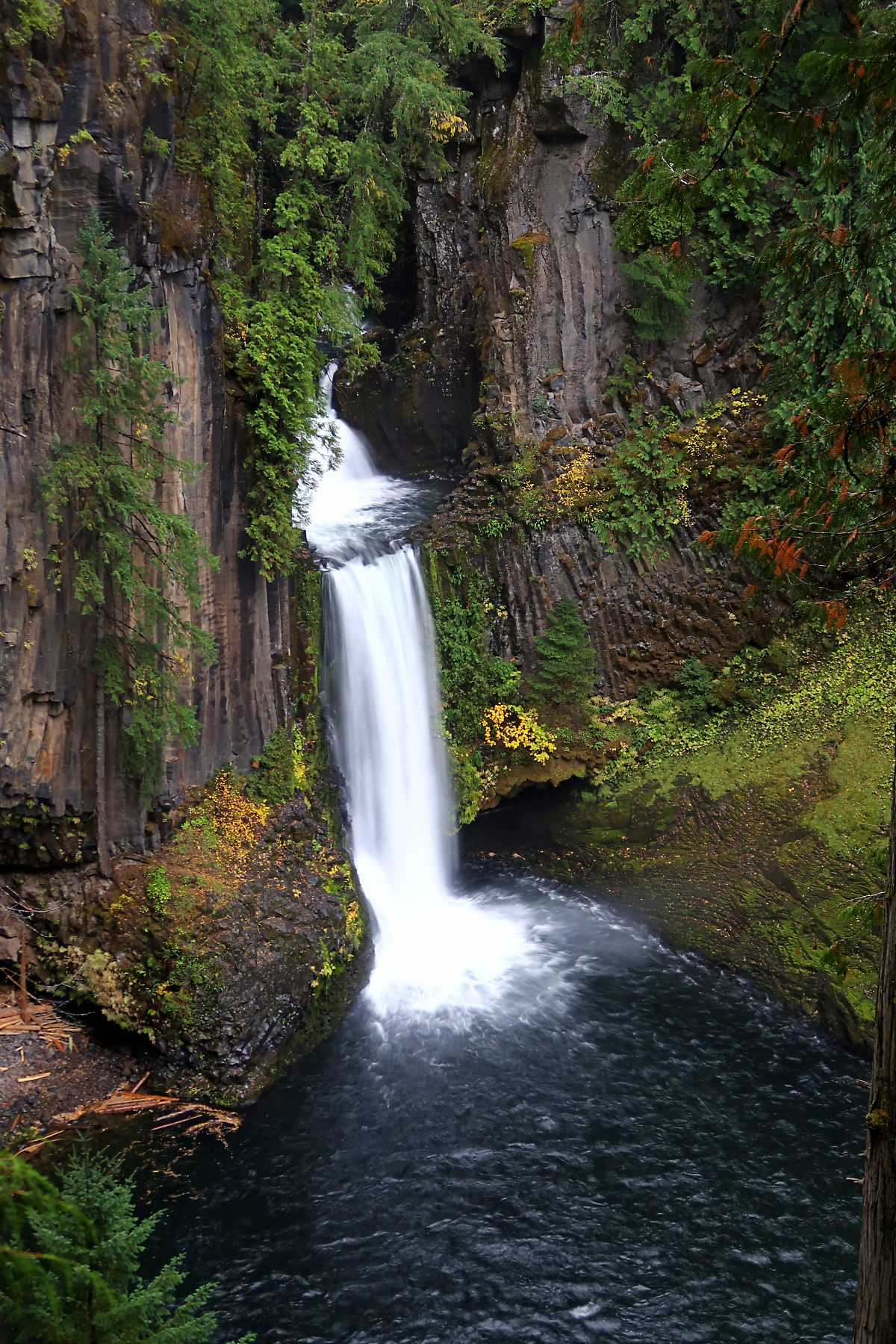
Toketee Falls
Oregon
Hoyt Arboretum Trails
Oregon
Neahkahnie Mountain via Oregon Coast Trail
Oregon
Proxy Falls Loop Trail
Oregon
Benham Falls Trail
Oregon