Status unknown — verify before visiting

We don't have current condition data for this trail. Check with the land manager before you go.

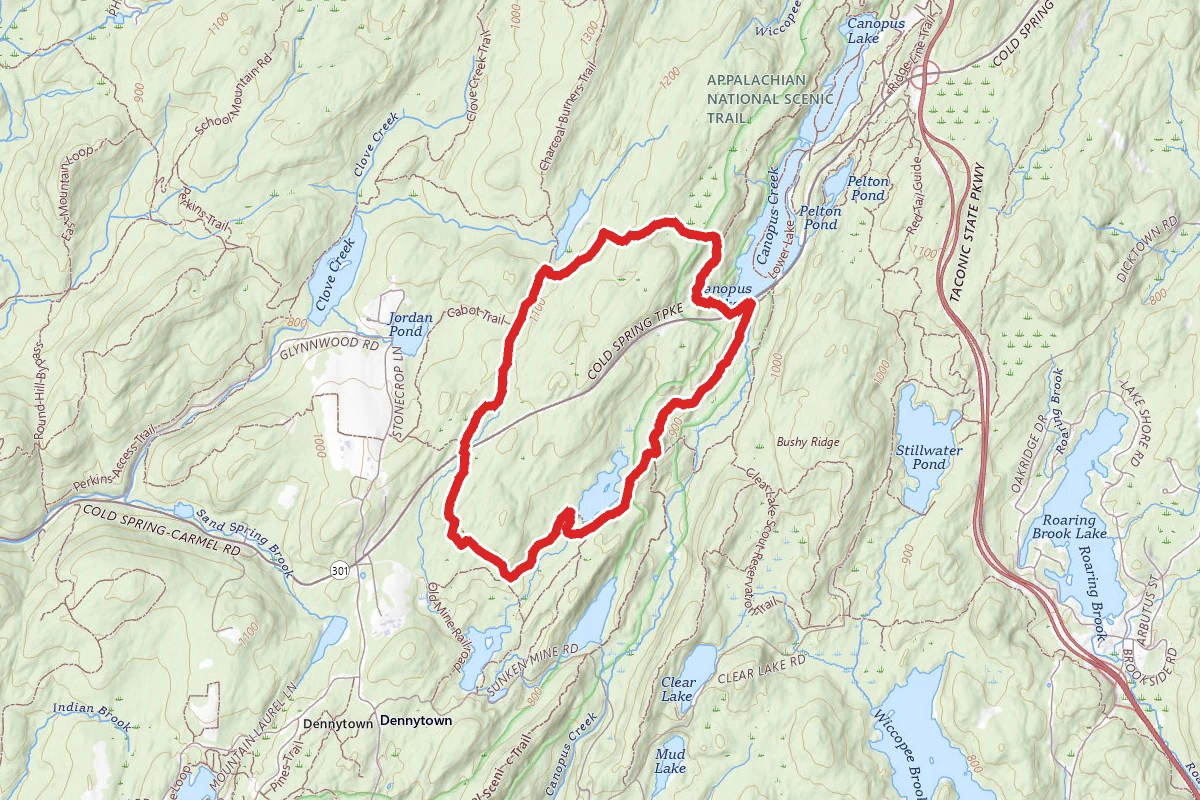
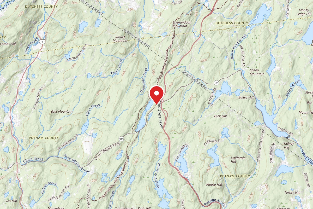
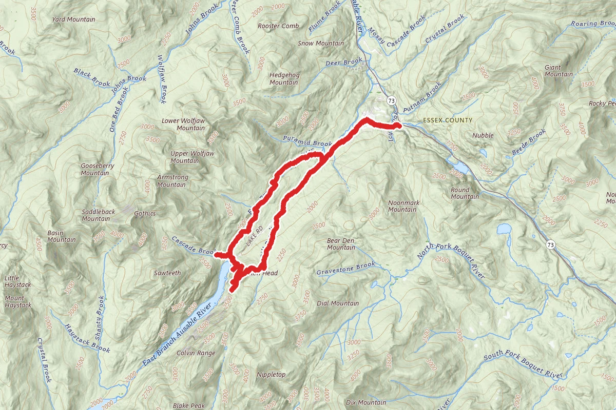
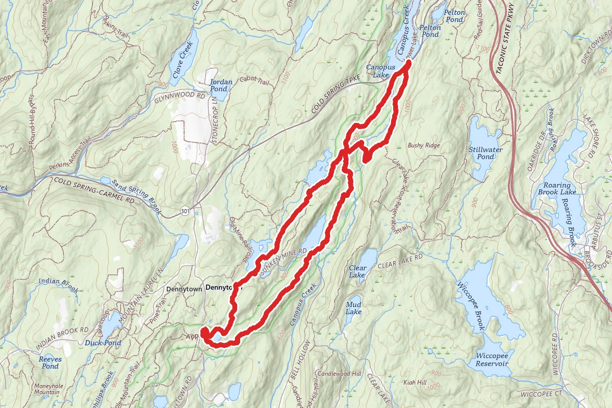
Three Lakes and Appalachian Trail Loop route map
DifficultLoop

Three Lakes and Appalachian Trail Loop

Hopewell Junction, New York

7.8 mi

Distance

1,572 ft

Elev. Gain

3h 10m

Est. Time

Loop

Route Type

Difficult

Difficulty

About This Trail

Imported description
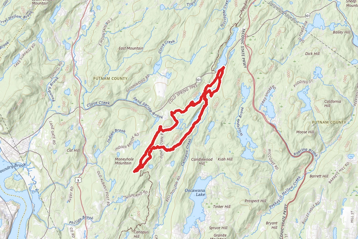
This figure-8 loop involves the entire length of the 3-Lakes Trail and a 3.5-mile stretch of the Appalachian Trail. There are plenty of ups and downs along the way, some of them moderately steep, with views of some old iron mine workings, several lakes/ponds and a few stream crossings. [If desired, this loop can be divided into 2 separate hikes: (1) start at NY Rte 301 and do the "top" of the figure-8 (2.5 miles) or (2) start at Dennytown Rd and do the "bottom" of the figure-8 (5.3 miles).] Park in a parking area on the west side of NY Route 301. Cross the road and climb over the guardrail to reach the northern trailhead of the 3-Lakes Trail (blue). In about 0.1 mile, the trail angles to the left to join an old mine road, with a number of artifacts of the old Philips Mine right next to the trail (and there are many more on the ridge to the right). The road continues to the south, with a large swamp to the right. At 0.75 miles, the 3-Lakes Tr leaves this road and turns right, with a stream crossing (on boulders) at the 1 mile point, followed by a moderate climb to an intersection with the Appalachian Trail (white) at 1.3 miles, at which point you stay on the 3-Lakes Tr which continues with some ups and downs, passing Hidden Lake (1.6 miles), the Old Mine RR trailhead (1.9 miles), and the Charcoal Burners trailhead (2.4 miles). Shortly after the last of these, the trail turns right onto another old mine road, only to leave it after a short distance, with the collapsed bridge of the road to your right. The trail turns to the left as you approach the dam forming John Allen Pond, and you then descend to a stream crossing (with a small waterfall to the right), and climb up to Sunk Mine Road, where the trail turns right. At 3.1 miles, the trail turns left off this road and begins a moderate ascent. At 3.4 miles, the trail turns to the right. (If you want to explore the Denny Mine, turn left here - the southernmost workings of the mine are visible from the trail.) You then descend (steeply for a few short sections,) to parallel the north shore of a swampy area, after which you make a slight ascent to reach the southern terminus of the 3-Lakes Tr at a parking area/field on Dennytown Road at 2.9 miles. Stay on the east side of this field for about 75 yards and turn left onto the Appalachian Trail. After paralleling the south side of the swamp, at 4.3 miles, you begin a moderate ascent/descent which leads to another intersection with the Sunk Mine Rd at 5.4 miles, where the AT jogs right, then almost immediately left. You cross a tributary of Canopus Creek (where you will get wet feet in high-water conditions), with a small waterfall to the right, then begin a short, but steep climb up to a ridge, only to descend fairly steeply after 0.3 miles. (In leaf-down conditions, you can see a mine dump from the Sunk Mine cascading down the ridge to your left.) You cross a level (frequently wet) area and then hit a short, steep descent followed by a moderately steep ascent, passing a vertical mine shaft on the right side of the trail at 6.3 miles. At the top of the climb, you reach the intersection with the 3-Lakes Trail, and go straight to stay on the AT. At 6.7 miles, the AT angles to the right to travel on the old bed of the Sunk Mine Railroad. At. 7.4 miles, angle to the right onto the old bed of the present Rte 301, which parallels the new road, for about 175 yards. Climb over the guardrail and cross the road to return to your starting point.

Trail Conditions

Trail Conditions

Unknown

We have no current condition data for this trail. Check with the operator before you go, and submit a report below if you've been recently.

No recent condition reports. Be the first to share what you see on the trail.

Elevation Profile

Min:238 ft
Max:324 ft
479 ft
479 ft
238 ft267 ft295 ft324 ft0.0 mi1.9 mi3.9 mi5.8 mi7.8 mi

Trail Details

Route Type
Loop
Surface
Dirt

Official sources & verification

We don't have curated agency sources for this trail in our cache yet. Outdoors is not the permitting authority — confirm conditions, permits, and access with the managing agency before you go. If you know who manages this trail, please tell us.

Reviews

No reviews yet

Be the first to share your experience and help others plan their visit.

Legacy import — verify before navigating

Path geometry came from our pre-launch legacy database. Routes have not yet been re-verified against the operator and may differ from the actual trail.
Spot an error in our data on Three Lakes and Appalachian Trail Loop?