Status unknown — verify before visiting

We don't have current condition data for this trail. Check with the land manager before you go.

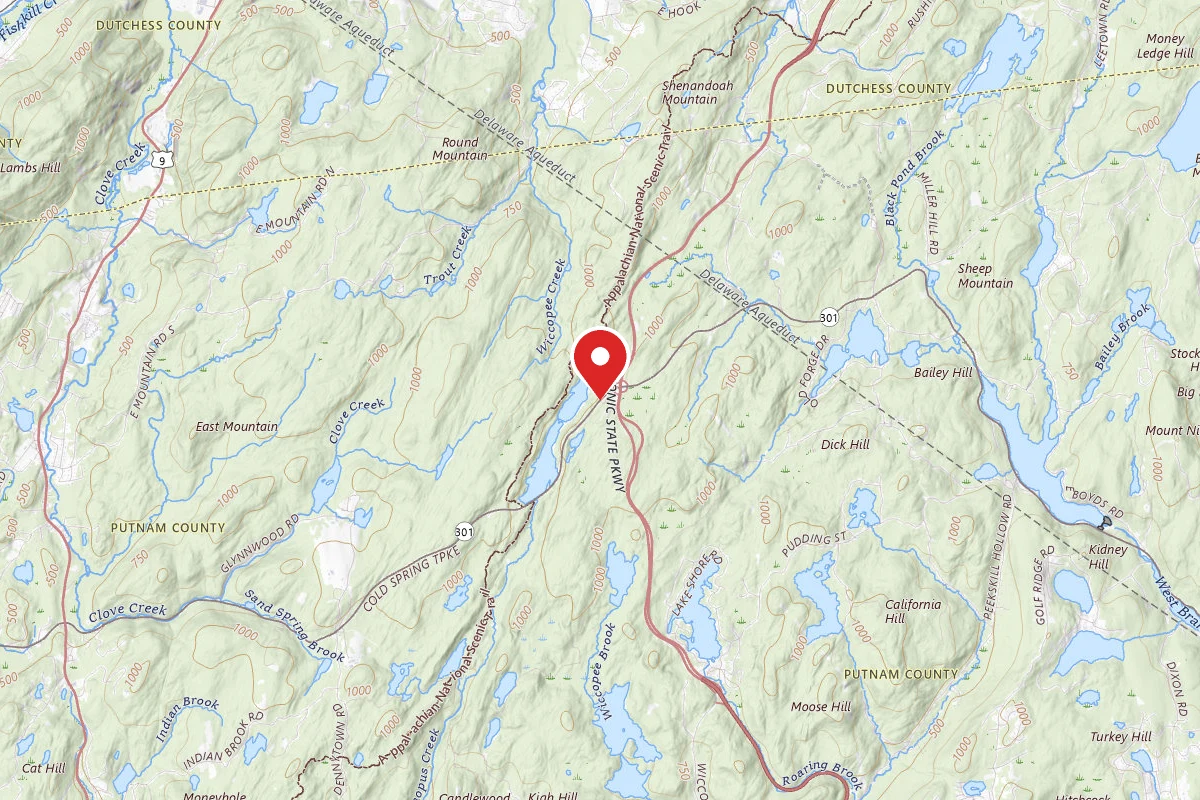
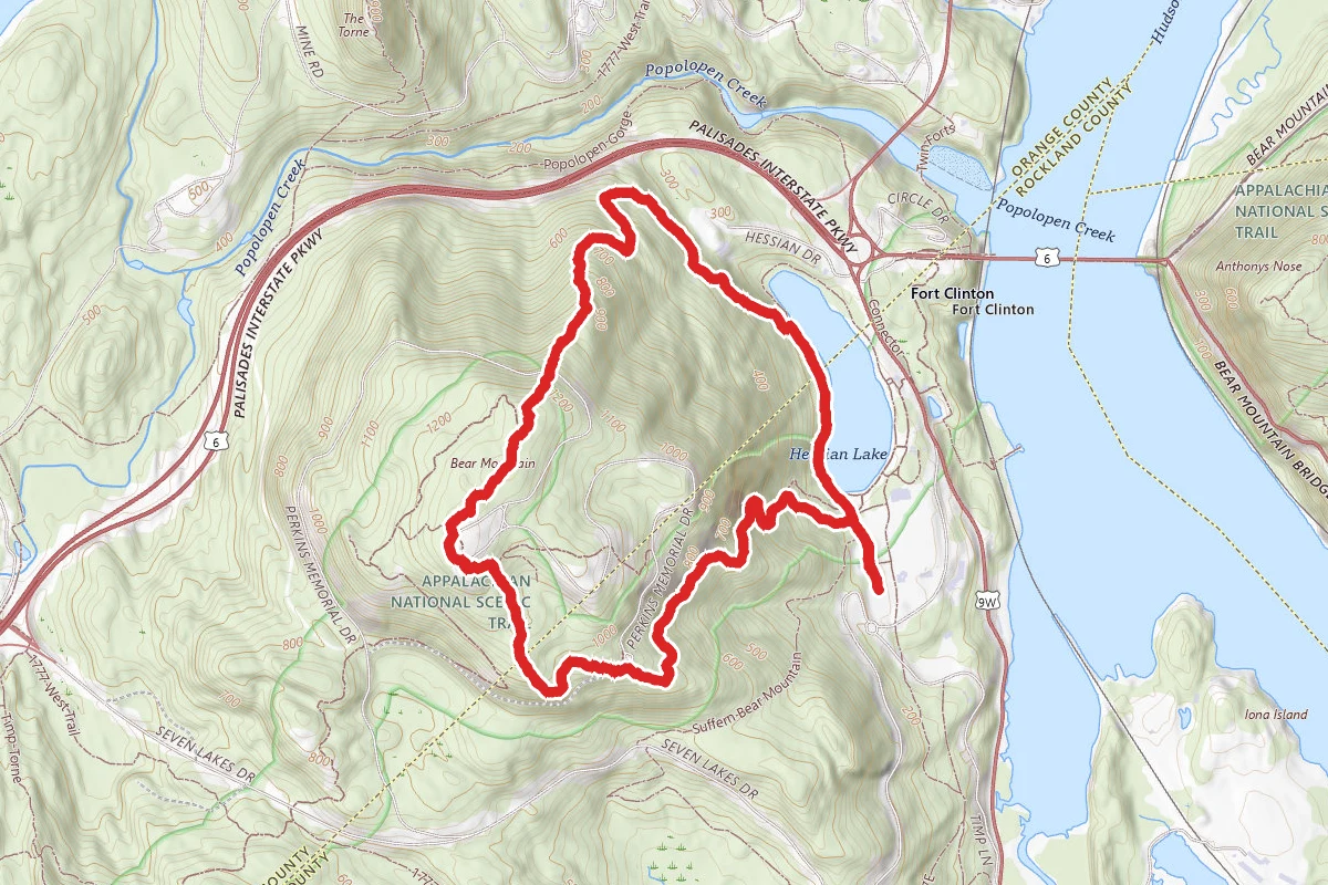
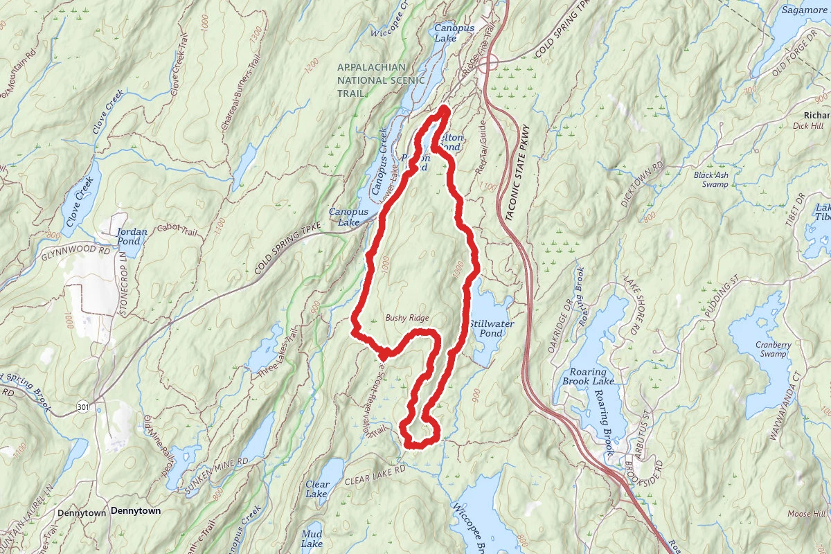
Pelton Pond, Stillwater Pond and Bushy Ridge Loop route map
ModerateLoop

Pelton Pond, Stillwater Pond and Bushy Ridge Loop

Putnam Valley, New York

6.2 mi

Distance

1,211 ft

Elev. Gain

2h 27m

Est. Time

Loop

Route Type

Moderate

Difficulty

About This Trail

Imported description
This is a great hike, along which you'll pass 3 separate ponds/lakes (and see a 4th), go through the ruins of some old farms, and pass through the sites of 2 different 19th-century iron mines. Park at Pelton Pond parking lot and then head north from the lot, following an old road, which soon becomes the path of the Pelton Pond Loop Trail (yellow). At 0.2 miles, the trail turns right (off the road) and swings around to the south, with views down onto Pelton Pond. At 0.5 miles, turn left onto a campground road at the start of the Roaring Brook Trail (white). Continue on this trail as it heads south, passing several trails which go off to the left. You'll start seeing Stillwater Pond (on the left) at about 1.4 miles. At 2.7 miles, you'll pass the rusty skeleton of an old vehicle. At 2.8 miles, turn right onto an unnamed trail (yellow), which soon passes through the remains of what was clearly a quite impressive farming area, with stone fences and several foundations scattered about. At 2.9 miles, turn right onto another unnamed trail (white) and begin the intermittent ascent of Bushy Ridge, with a few short steep climbs along the way. At 3.50 miles, you reach more or less the top of the ridge, and there are intermittent views (leaf-permitting) to the east of Roaring Brook Lake and Stillwater Pond. At 3.9 miles, you begin a moderate descent. At 4.2 miles, turn right onto an unnamed trail (blue) which follows an old road. At 4.3 miles, stay straight onto an unnamed trail (green) where the blue trail turns left. AT 4.6 miles, once more stay straight on the road where the green trail ends and the 3-Lakes Trail (blue) joins from the left. At 5 miles, you'll start seeing artifacts from the Philips Mine. The 3-Lakes Trail ends at 5.4 miles, where you turn right onto Rte 301 (with Canopus Lake on your left). At 5.6 miles (just after the guardrail on Rte 301 ends), turn right onto an unblazed trail, where you will almost immediately see an entrance to the Canada Mine on your left and mine dumps on the right. After crossing a stream, the trail climbs to a dam, where you turn left onto the Pelton Pond Loop Trail (yellow). Continue on this trail until you see an obvious shortcut trail to the Pelton Pond parking area.

Trail Conditions

Trail Conditions

Unknown

We have no current condition data for this trail. Check with the operator before you go, and submit a report below if you've been recently.

No recent condition reports. Be the first to share what you see on the trail.

Elevation Profile

Min:250 ft
Max:366 ft
369 ft
369 ft
250 ft289 ft327 ft366 ft0.0 mi1.5 mi3.1 mi4.6 mi6.2 mi

Trail Details

Route Type
Loop
Surface
Dirt

Official sources & verification

We don't have curated agency sources for this trail in our cache yet. Outdoors is not the permitting authority — confirm conditions, permits, and access with the managing agency before you go. If you know who manages this trail, please tell us.

Reviews

No reviews yet

Be the first to share your experience and help others plan their visit.

Legacy import — verify before navigating

Path geometry came from our pre-launch legacy database. Routes have not yet been re-verified against the operator and may differ from the actual trail.
Spot an error in our data on Pelton Pond, Stillwater Pond and Bushy Ridge Loop?