Status unknown — verify before visiting

We don't have current condition data for this trail. Check with the land manager before you go.

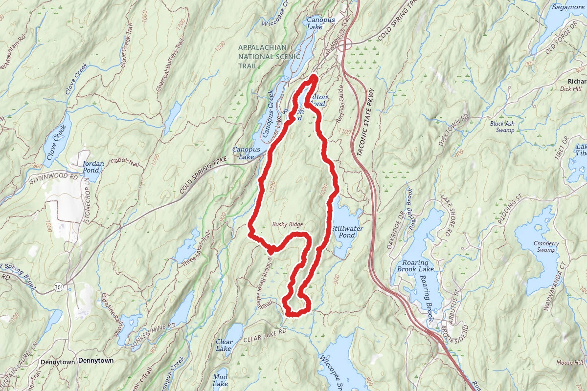
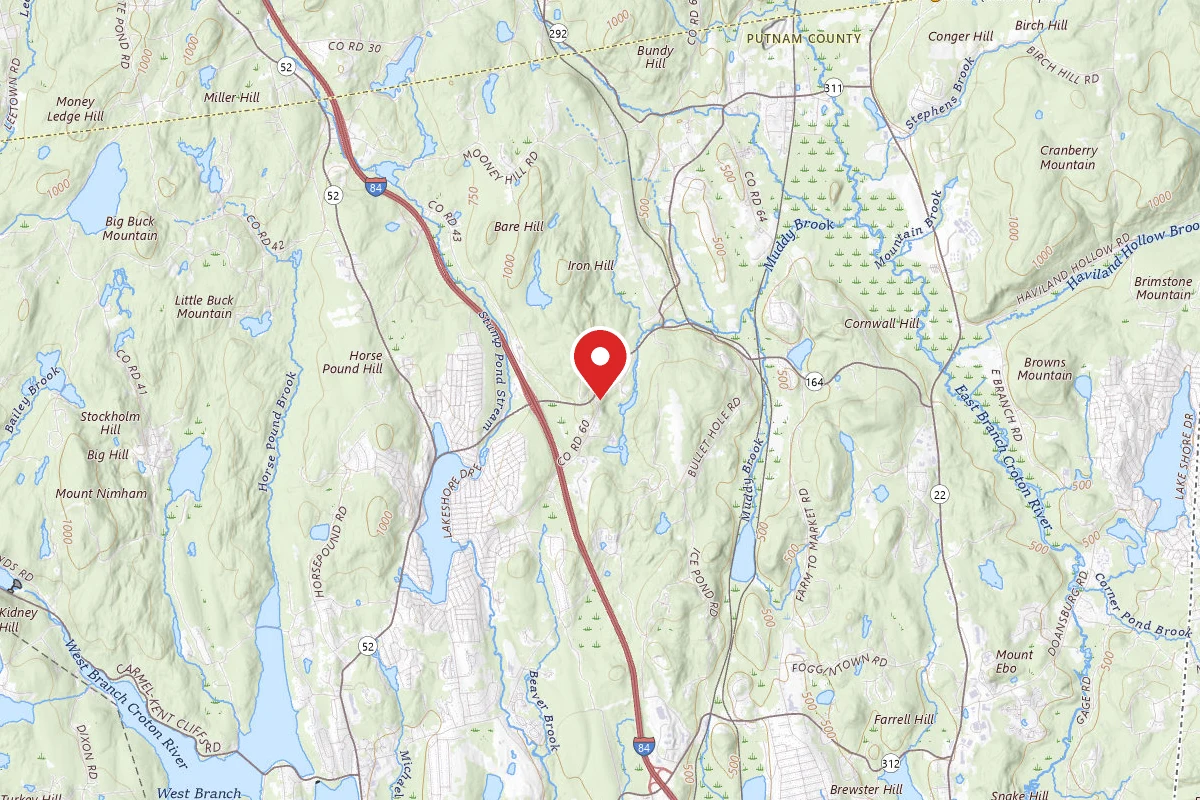
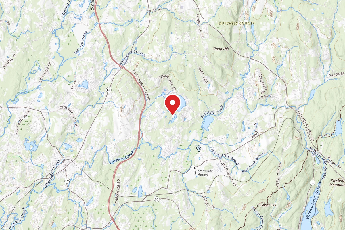
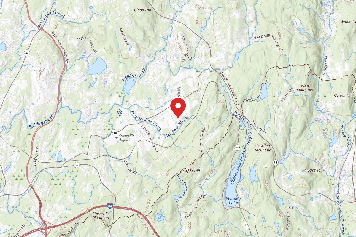
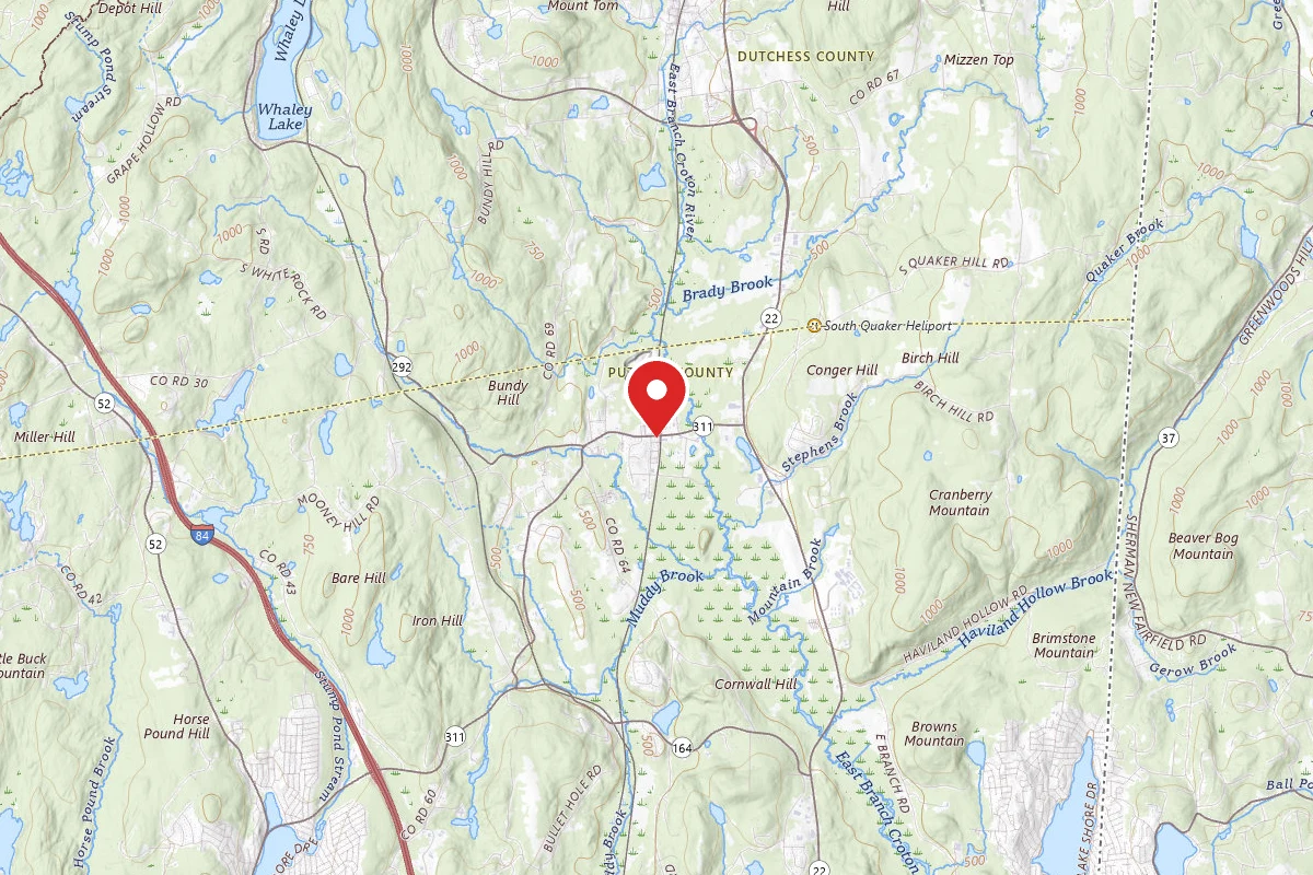
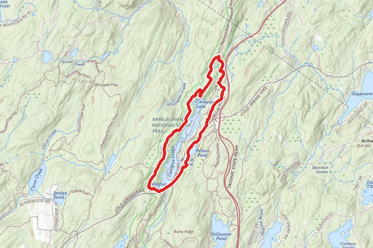
Pelton Pond and Canopus Lake Loop route map
ModerateLoop

Pelton Pond and Canopus Lake Loop

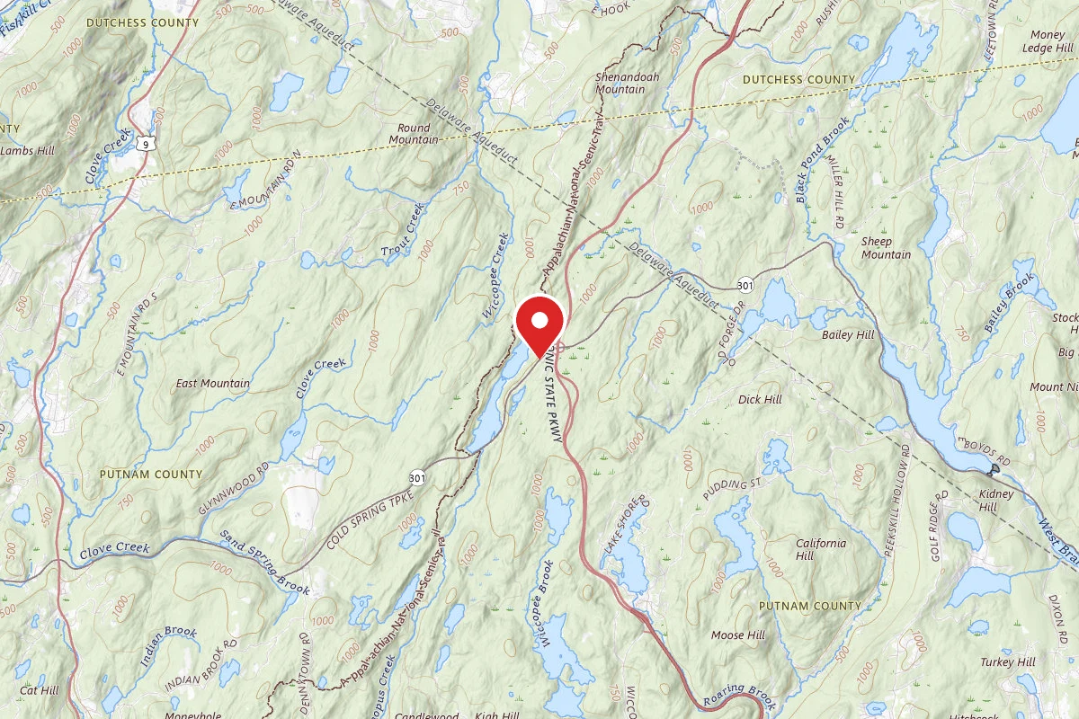
Cold Spring, New York

5.4 mi

Distance

1,148 ft

Elev. Gain

2h 10m

Est. Time

Loop

Route Type

Moderate

Difficulty

About This Trail

Imported description
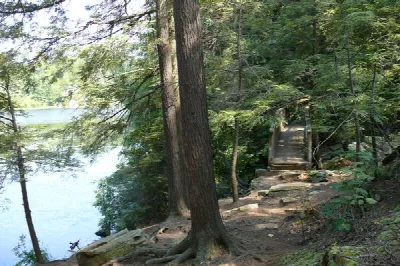
This loop includes both Canopus Lake and its smaller neighbor, Pelton Pond. It climbs to one of the nicest viewpoints in Fahnestock Park, looking down on Canopus Lake. Along the way, you can see evidence of the 19th-century iron-mining industry. Park at the parking lot at Pelton Pond, then head northeast on was probably an old mining road (you can see evidence of mining between this road and NY Rte 301). At the end of this road, turn right onto Rte 301, then left onto the access road for Canopus Beach. In about 100 yards, turn diagonally right onto the Ridge Line Trail (white). At 0.9 miles, bear right, then left onto the Field Loop Trail (yellow). At 1.1 miles, turn right onto the Appalachian Way (blue), which initially passes near the Taconic State Parkway, but quickly turns away from it. Shortly after a wooden bridge, the trail swings left and starts climbing a ridge. At 1.6 miles, turn left onto the Appalachian Trail (white). At 2.2 miles, near the summit of the ridge, there is a nice viewpoint to the northwest on the right. (And there's high-bush blueberries in season!) The AT descends slightly, and you reach the Canopus Lake viewpoint at 2.4 miles. The AT turns sharply right and starts an intermittent descent (sometimes steep). At 2.6 miles, stay straight where a blue-blazed trail goes left, There are a number of ups and downs on the AT (with occasional stone steps to help you out). You pass the southern terminus of the Fahnestock Trail (blue) at 3.9 miles. At 4.4 miles, you reach Rte 301 again, where you turn left. You pass the western trailhead of the 3-Lakes Trail at 4.7 miles. Shortly after passing the boat launch, turn right onto an unblazed trail. Immediately to your left, there is a shaft entrance into the Canada Iron Mine, with a mine dump to your right. Cross a stream, then make a short, steep climb to the Pelton Pond Trail (yellow), where you turn left on the dam and then parallel the west shore of the pond. (There are many iron-mine-related features between the pond and Rte 301, but it can be dangerous to explore.) Shortly before you reach the stone picnic pavilion, turn diagonally left to get back to the parking lot. As a variation on this route, at the north end of Canopus Lake, you can take a blue-blazed trail from the Canopus Beach to the AT. This reduces the total mileage by about 1.5 miles, but you miss a couple of very nice viewpoints on the AT.

Trail Conditions

Trail Conditions

Unknown

We have no current condition data for this trail. Check with the operator before you go, and submit a report below if you've been recently.

No recent condition reports. Be the first to share what you see on the trail.

Elevation Profile

Min:277 ft
Max:357 ft
350 ft
350 ft
277 ft304 ft330 ft357 ft0.0 mi1.4 mi2.7 mi4.1 mi5.4 mi

Trail Details

Route Type
Loop
Surface
Dirt

Official sources & verification

We don't have curated agency sources for this trail in our cache yet. Outdoors is not the permitting authority — confirm conditions, permits, and access with the managing agency before you go. If you know who manages this trail, please tell us.

Reviews

No reviews yet

Be the first to share your experience and help others plan their visit.

Legacy import — verify before navigating

Path geometry came from our pre-launch legacy database. Routes have not yet been re-verified against the operator and may differ from the actual trail.

Spot an error in our data on Pelton Pond and Canopus Lake Loop?