Status unknown — verify before visiting

We don't have current condition data for this trail. Check with the land manager before you go.

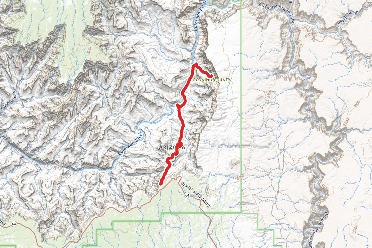
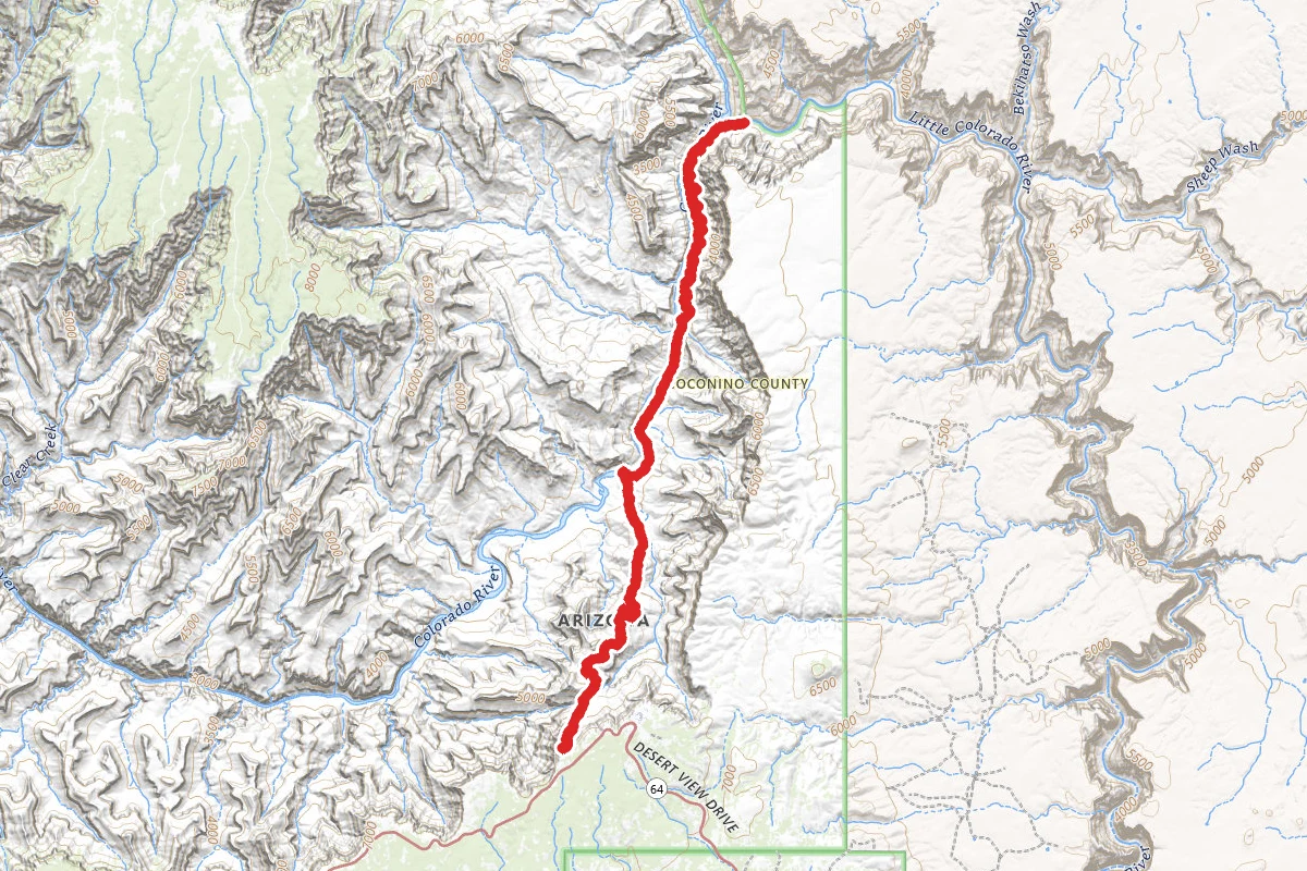
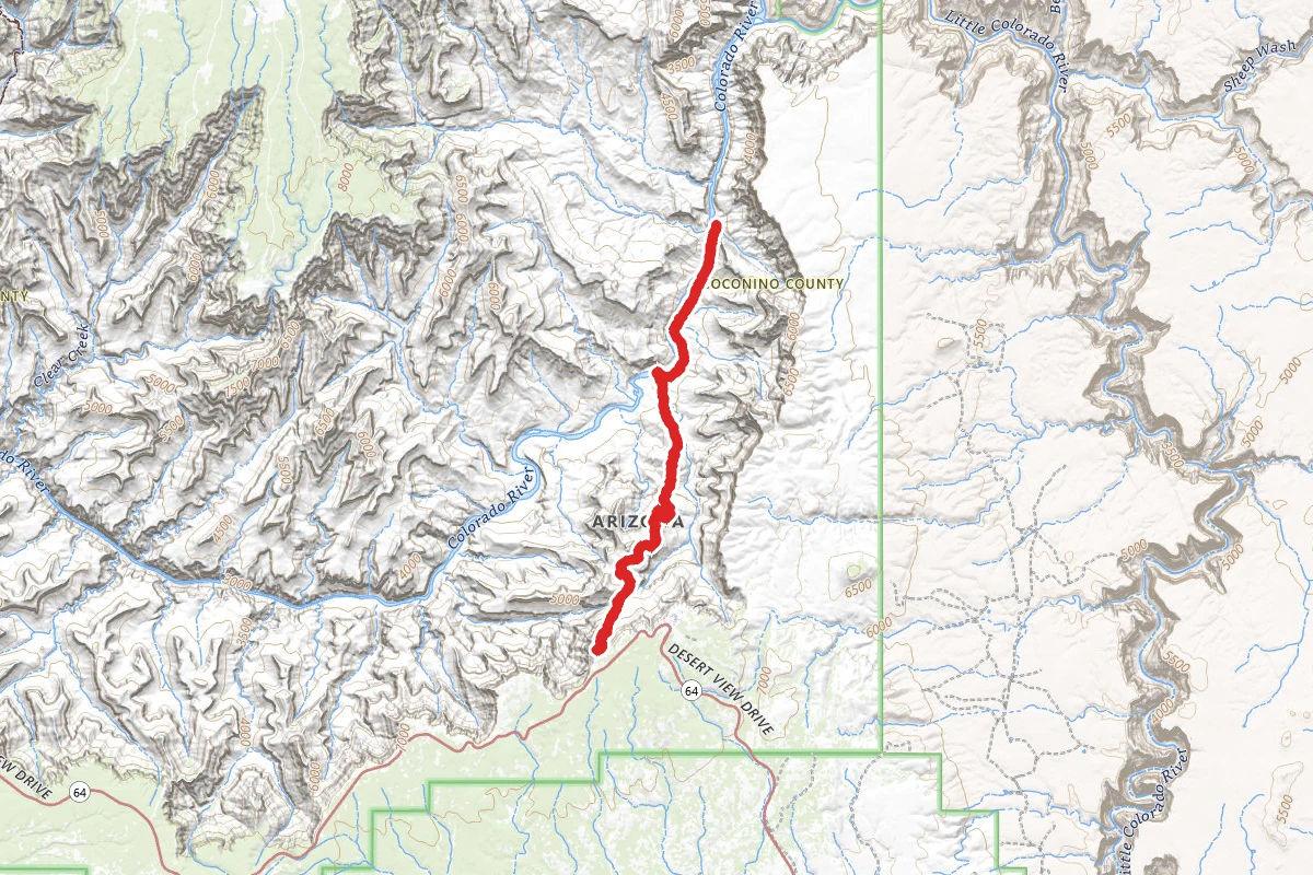
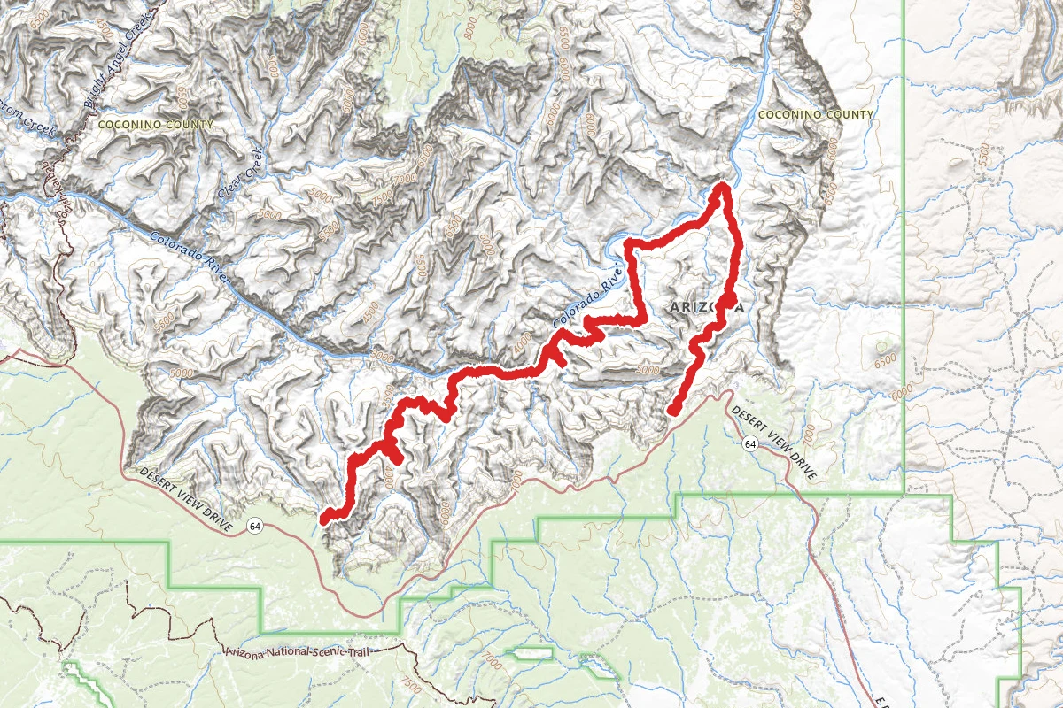
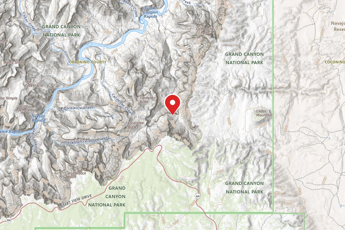
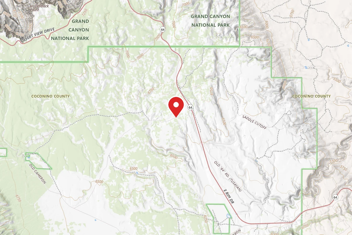
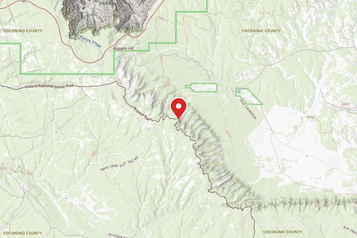
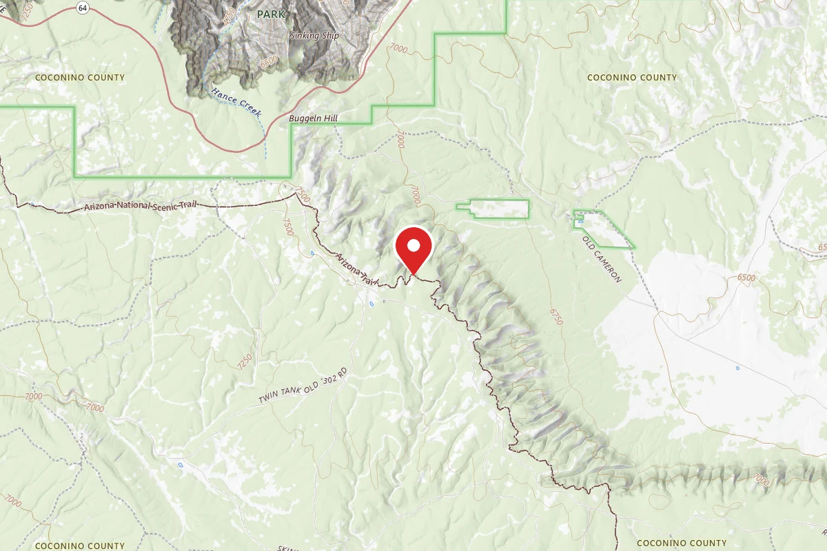
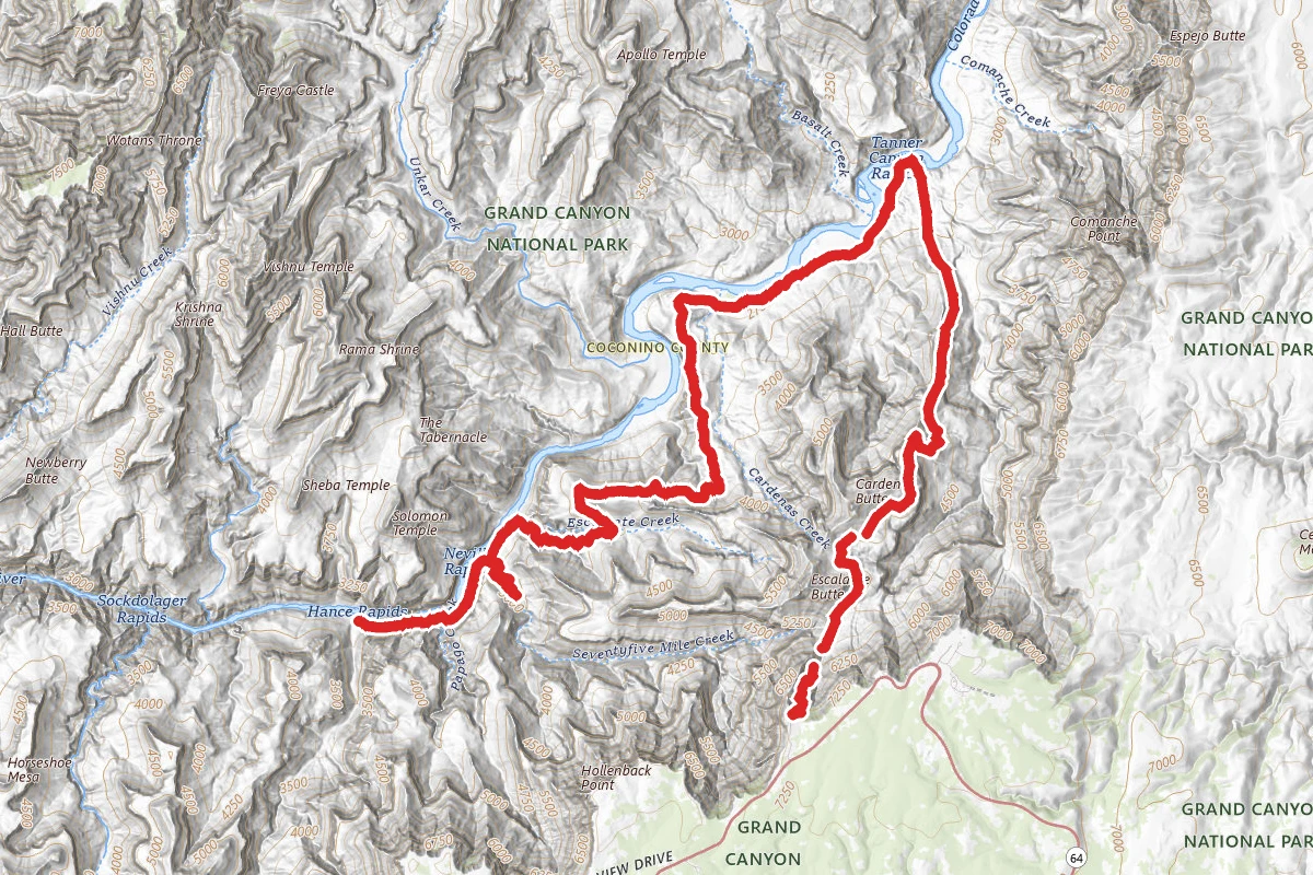
The Escalante Route Trail route map
ExpertOut and Back

The Escalante Route Trail

Grand Canyon, Arizona

34.8 mi

Distance

13,822 ft

Elev. Gain

16h 20m

Est. Time

Out & Back

Route Type

Expert

Difficulty

About This Trail

Imported description
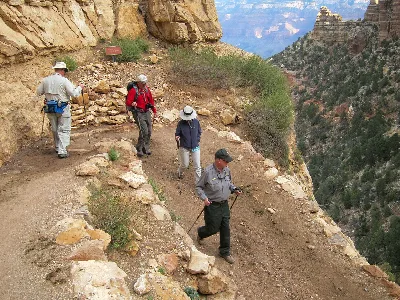
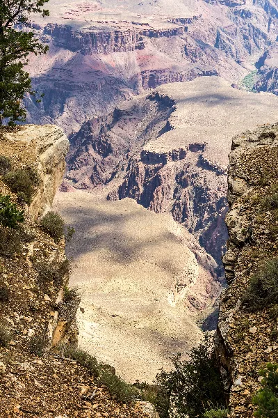
The route can be hiked in either direction, but this passage will be described from the perspective of a downcanyon hiker. Follow the Tanner Trail to the shoreline. Rocks placed at the trail margins make it easy to see the way across Tanner Beach and up onto the bench above the river that forms the route downstream towards Cardenas Canyon. The trail works its way along the foot of the Supergroup slopes above the shoreline. Shallow gullies must be crossed at intervals; but generally speaking, the route from Tanner to Cardenas is straightforward. The Colorado via the bed of Cardenas Creek is last reliable water source until one reaches the river at the mouth of Escalante Creek. The trail crosses Cardenas Creek about two hundred yards above the shoreline and climbs the Dox Hill immediately west. The correct path follows the rising slope of red sandstone toward and up the unnamed side canyon between Cardenas and Escalante Creeks and reaches the bed of the drainage above the cliff bands that block access to the Colorado River. The route crosses the unnamed drainage and traverses west toward the crest of the ridge north of Escalante Creek. Caution is indicated throughout this area, as there are many places where you will want to avoid a misstep at all cost. Some sections offer a walking surface about a boot-sole wide while traversing slopes that fall steeply away for hundreds of feet. Take your time and walk with care. The trail seems to traverse west forever, finally going to the top of the ridge just short of the west end. A fine view in all directions is the reward for all the side hill walking. The trail crosses the ridge and descends rapidly to the bed of Escalante Creek. A barrier fall in the main arm prevents direct access to the river, so the route crosses to the south side of the wash and around into the short arm of Escalante. The canyon bottom forms the route for a short distance but soon the trail traverses west to pass a high pouroff, crosses a bit of talus and descends to the creek bed below the fall. Both arms of Escalante Creek are normally dry, but once established below the fall it's an easy walk to the shoreline. The trail climbs away from the river below the mouth of Escalante Creek and follows a rising ramp of Shinumo Quartzite downcanyon. Walk the top of this formation around into Seventyfive Mile Creek. Enter the bed of Seventyfive Mile Creek over a fallout and continue down the drainage bottom to the river. A couple of minor obstacles present themselves but the solutions are obvious. The Shinumo Quartzite section of Seventyfive Mile Creek is a real treat - deep and narrow. Nevills Rapids provides a backdrop for several nice camping spots. The area is equally popular among river runners so you may encounter other groups. Seventyfive Mile Creek is normally dry in its lower reaches, but there is access to the river at various points throughout the stretch from Escalante to Papago Creeks. Trails along the beach form the route downriver towards Papago Creek. Eventually sand gives way to rock and a series of ledges require a bit of attention to avoid being rimmed up. In general, stay as close to the river as is conveniently possible. The trail goes up and over a small outcrop of sandstone before dropping back to river level at the mouth of Papago Creek. A high route is possible and is cairned. It first cairn is at the mouth of 75 mile Canyon and is recommended if you want to avoid a short river stretch. Exit Papago on the west and work up a series of tall ledges. A short rope to better facilitate pack handling will prove a worthwhile accessory. Start up immediately west of the mouth of the drainage. The holds are big and secure. The route leads up from ledge to ledge, so it's never more than a move or two between resting places if you have chosen the line of least resistance. The climbing is easy, but no mistakes are allowed. About 35 feet up the angle relents and one can scramble up the talus toward minor cliff bands above. There are several ways to surmount these little crags, all with obvious trails giving access. Climb the slopes to a (more or less) horizontal trail about 300 vertical feet above the river. The trail traverses less than 100 yards downcanyon before coming to the top of a talus filled runnel that allows passage back to the shoreline. This gully seems dangerous - steep, with lots of big boulders in precarious balance. The immediate shoreline forms the most efficient route between bottom of this treacherous little gully and the mouth of Red Canyon. The walk downstream through riparian vegetation is a real pleasure. A downcanyon walker arriving at Hance Rapids could continue west via the Tonto Trail toward Mineral Canyon, the Grandview Trail and points beyond, or ascend to the rim via the bed of Red Canyon on the New Hance Trail.

Trail Conditions

Trail Conditions

Unknown

We have no current condition data for this trail. Check with the operator before you go, and submit a report below if you've been recently.

No recent condition reports. Be the first to share what you see on the trail.

Elevation Profile

Min:779 ft
Max:2,234 ft
4,213 ft
4,213 ft
779 ft1,264 ft1,749 ft2,234 ft0.0 mi8.7 mi17.4 mi26.1 mi34.8 mi

Trail Details

Route Type
Out & Back
Surface
Dirt

Official sources & verification

Managed by National Park Service

Verify before you go

Source of truth

Verify by phone or mail

  • Operator:928-638-7888
  • Address:20 South Entrance Road · Grand Canyon, AZ · 86023
We display cached information from agency feeds. Hours, fees, permits, closures, fire restrictions, and conditions change without notice. Outdoors is not the permitting authority. Confirm current conditions for this trail using the links above before you go — you are responsible for compliance. Last verified by us: May 23, 2026. Our copy is more than a month old — please reconfirm with the agency before relying on it.Spot an error in our data?

Reviews

No reviews yet

Be the first to share your experience and help others plan their visit.

Legacy import — verify before navigating

Path geometry came from our pre-launch legacy database. Routes have not yet been re-verified against the operator and may differ from the actual trail.

Hunt context

This trail crosses hunting unit

During hunting seasons, wear blaze orange and check regulations — see the Arizona hunting page

Spot an error in our data on The Escalante Route Trail?