Status unknown — verify before visiting

We don't have current condition data for this trail. Check with the land manager before you go.

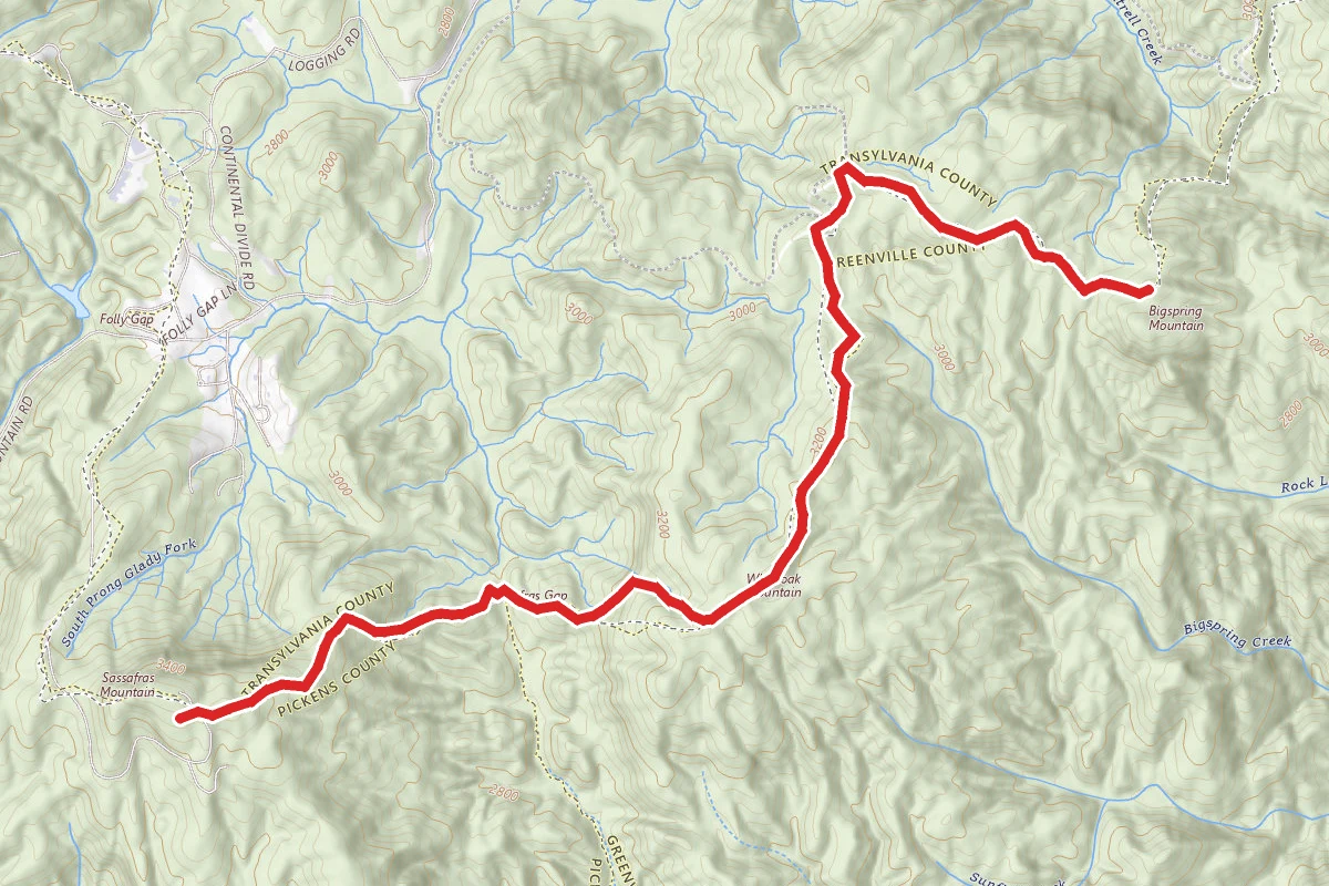
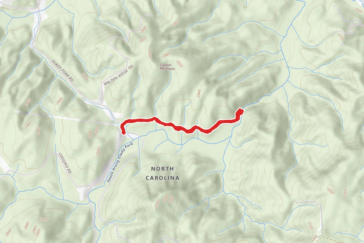
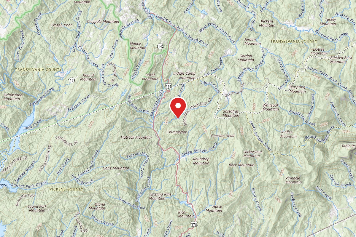
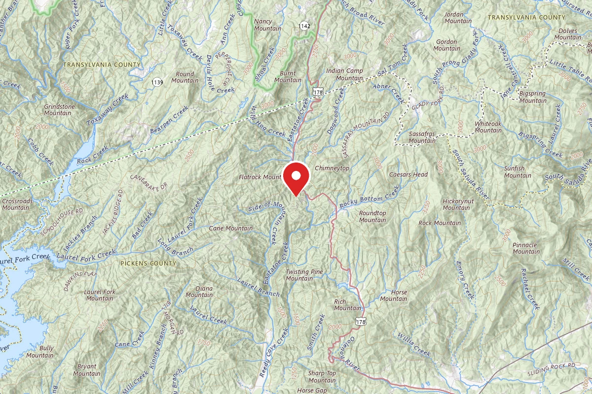
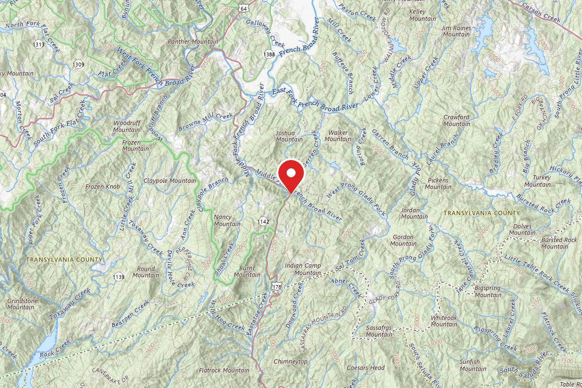
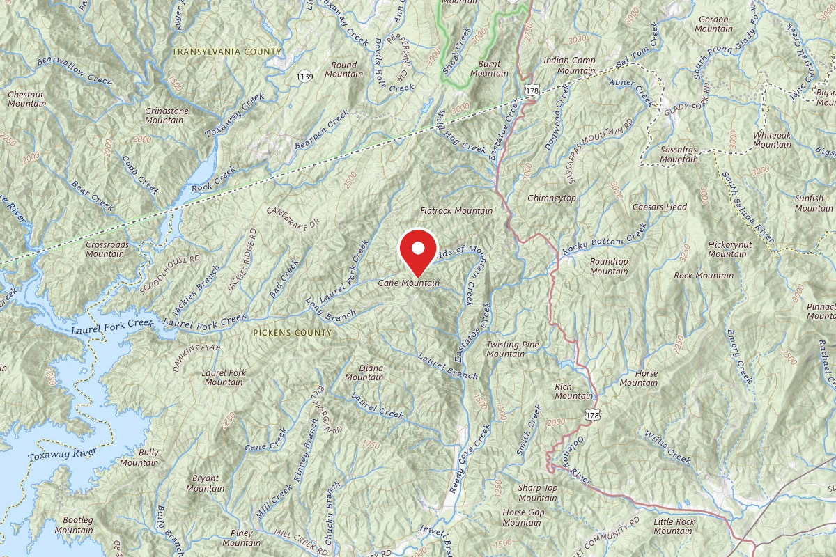
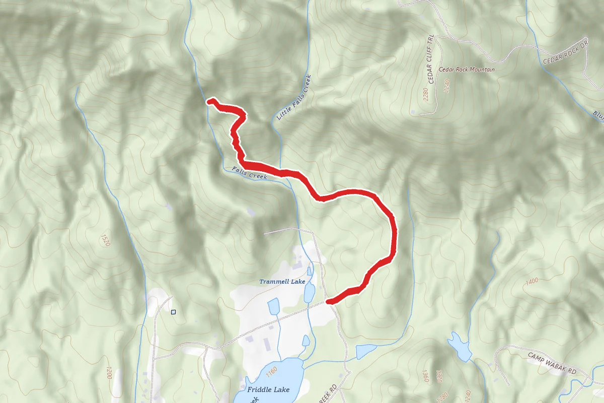
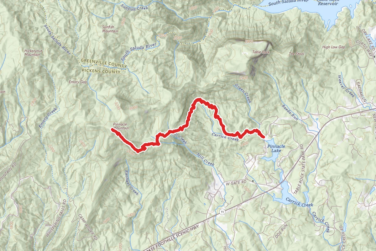
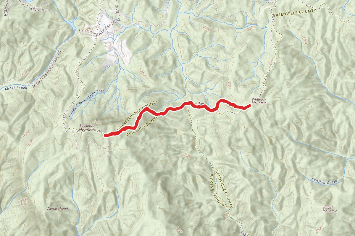
Sassafras Mountain to Whiteoak Mountain route map
ModerateOut and Back

Sassafras Mountain to Whiteoak Mountain

Sunset, South Carolina

2.9 mi

Distance

1,102 ft

Elev. Gain

1h 30m

Est. Time

Out & Back

Route Type

Moderate

Difficulty

About This Trail

Imported description
The Carolina Mountain Land Conservancy Hiking Challenge encourages outdoor enthusiasts—and anyone interested in keeping western North Carolina’s mountains beautiful—to explore and discover for themselves the lands that Carolina Mountain Land Conservancy has helped preserve. Primary Route: Foothills Spur from Sassafras Mountain Hiking Distance: 3.0 miles round-trip Elevation Gain:  1280 feet; (520 feet to Whiteoak Mtn., 760 feet returning to Sassafras Mtn.) Difficulty: Strenuous Trailhead: Click here to enter your address and receive turn-by-turn directions to the trailhead. GPS users may enter N35.0647, W-82.7764 in their units. A large parking area for the Sassafras Mountain trailhead is available on the left side of the road just prior to a metal gate.  The summit of Sassafras Mountain is just uphill and beyond the gate via the road.  The Foothills Spur Trail, however, is signed on the right side of the road, just opposite the parking area and its large wooden kiosk.  Find blue blazes on the pavement leading to the start of the trail at a red metal gate and a sign reading "Foothills Trail, Caesars Head State Park 14.2". Hiking Directions*: Follow the blue blazed Foothills Spur Trail beyond the red gate and into the woods.  During the entire course of the hike, you will be walking the upper elevations and southern boundary of the East Fork Headwaters (EFH) tract.  Nearly 8,000 acres of land downslope and to the north are included in this conservation project. EFH land will be on your left as you hike toward Whiteoak Mountain, and to your right during your return trip to Sassafras Mountain.  Beyond the gate, the trail follows a woods road until reaching a metal tower straddling a small building at 0.1 mi. (photo3)  The trail passes to its left and begins a gradual descent of the ridge.  Here, red signs that you are entering private property are outdated; the entire trail corridor is now owned by The Conservation Fund who will facilitate its transfer to public ownership. The descent steepens and the ridgeline narrows at 0.25 mi. While the trail is marked with blue blazes, notice even more frequent swatches of yellow paint on the trees. This paint marks the NC/SC state line (NC is is to the left (north) and SC is to the right (south). The also paint marks the boundary between the Greenville Watershed to the right (south) and the EFH tract to the left (north).   At 0.5 mi., the trail makes a sharp right hand turn, marked by a double blaze, (photo4) and begins descending very steeply; a faint trail continues straight ahead to a campsite adjacent to several large boulders. The trail tunnels through rhododendron and mountain laurel while descending steeply to Sassafras Gap at 0.9 mi.  Here, intersect the now overgrown Emory Gap Toll Road, a former over-mountain route used by early settlers (photo5).  Sassafras Gap also marks the tri-county junction of Transylvania County, NC and Greenville and Pickens Counties, SC. Rest up while standing in three places at once and ready yourself for the steep climb up Whiteoak Mountain.  Climb a set of stairs and continue following the blue blazes beyond the gap as the trail ascends.  Following a short but steep climb, the trail reaches a plateau at 1.1 mi. and passes a metal survey marker.  Set into a small rock and marked by a metal stake, the silver dollar-sized disc reads "NC/SC State Line" (photo6 and photo7). Following another steep descent along the crest of the ridge the trail veers left and leaves the ridgeline and state divide at 1.2 mi.  The trail is now entirely within the EFH tract until reaching the summit of Whiteoak Mountain. Just beyond, a set of wooden stairs ascends to a small overlook on the left with winter-time views back toward Sassafras Mountain and much of the the EFH tract.  At 1.4 mi., the trail returns to the ridgeline and makes a sharp left turn at a double blaze and small clearing (photo9). The summit of Whiteoak Mountain, marked by a conspicuously placed telephone pole (photo10), is just beyond at 1.5 mi. (N35.0682, W-82.7551).  At 3,297 ft., Whiteoak Mountain is the sixth highest peak in South Carolina (straddling the state line, it is shared with North Carolina where it ranks at only the 784th highest in the state!).   Turn around and return to the trailhead the way you came. Be prepared for the ascent of Sassafras Mountain on your hike back; the second half of this hike is twice as challenging as the first!  When you return to the trailhead, consider hiking the road beyond the other gate about 200 yards to reach the very top of Sasafrass Mountain and claim the highest point in South Carolina!

Trail Conditions

Trail Conditions

Unknown

We have no current condition data for this trail. Check with the operator before you go, and submit a report below if you've been recently.

No recent condition reports. Be the first to share what you see on the trail.

Elevation Profile

Min:876 ft
Max:1,073 ft
336 ft
336 ft
876 ft942 ft1,007 ft1,073 ft0.0 mi0.7 mi1.5 mi2.2 mi2.9 mi

Trail Details

Route Type
Out & Back
Surface
Dirt

Official sources & verification

We don't have curated agency sources for this trail in our cache yet. Outdoors is not the permitting authority — confirm conditions, permits, and access with the managing agency before you go. If you know who manages this trail, please tell us.

Reviews

No reviews yet

Be the first to share your experience and help others plan their visit.

Legacy import — verify before navigating

Path geometry came from our pre-launch legacy database. Routes have not yet been re-verified against the operator and may differ from the actual trail.
Spot an error in our data on Sassafras Mountain to Whiteoak Mountain?