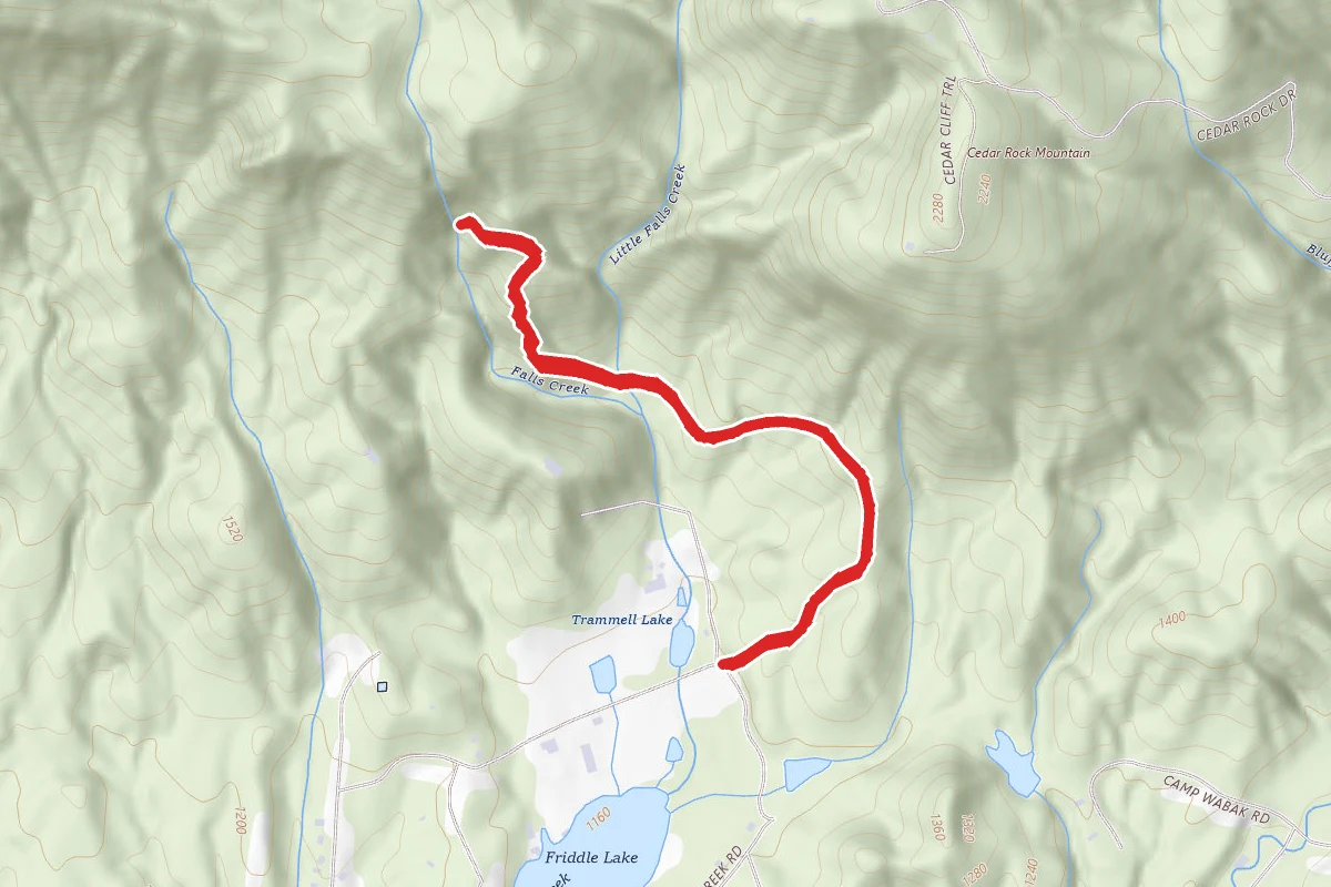
Status unknown — verify before visiting
We don't have current condition data for this trail. Check with the land manager before you go.
1.7 mi
Distance
453 ft
Elev. Gain
41m
Est. Time
Out & Back
Route Type
Easy
Difficulty
About This Trail
Imported descriptionTrail Conditions
Trail Conditions
We have no current condition data for this trail. Check with the operator before you go, and submit a report below if you've been recently.
No recent condition reports. Be the first to share what you see on the trail.
Elevation Profile
Trail Details
- Route Type
- Out & Back
- Surface
- Dirt
Official sources & verification
We don't have curated agency sources for this trail in our cache yet. Outdoors is not the permitting authority — confirm conditions, permits, and access with the managing agency before you go. If you know who manages this trail, please tell us.
Reviews
No reviews yet
Be the first to share your experience and help others plan their visit.
Legacy import — verify before navigating
Path geometry came from our pre-launch legacy database. Routes have not yet been re-verified against the operator and may differ from the actual trail.
Nearby Trails
More trails near Beech Bottom Falls
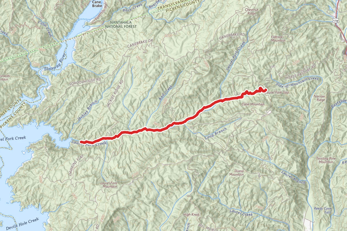
Chimneytop Gap to Laurel Valley via Foothills Trail
Foothills Trail to F Van Clayton Memorial Highway
Foothills Trail to Lake Jocassee
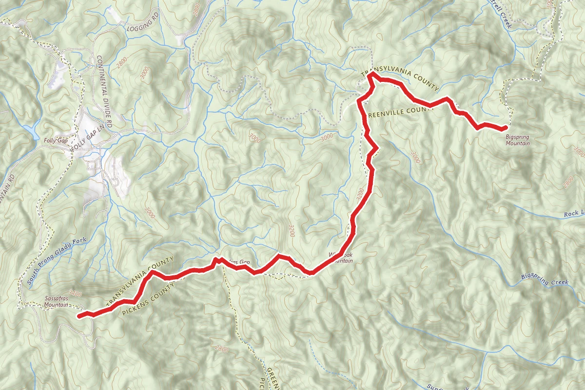
Sassafras Gap to Whiteoak Mountain and Bigspring Mountain
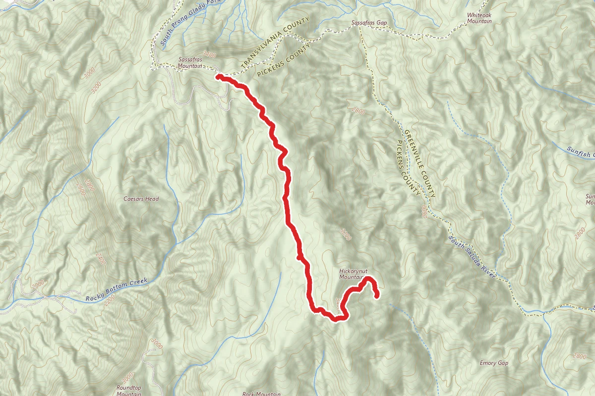
Hickorynut Mountain via Foothills Trail
Laurel Fork Falls via Laurel Creek Rd
Stay nearby
Campgrounds near this trail
Riverbend Lodge
3 mi away · NC
- Reservable
Eastatoee River RV Park
6.9 mi away · SC
Adventure Village and Lodgings
7.1 mi away · NC
Jocassee Gorges Wildlife Management Area
7.3 mi away · GA
- Reservable
Ash Grove Mountain Cabins & Camping
7.6 mi away · NC
- Reservable
Cherryfield Creek Luxury Campsite
8.3 mi away · NC
Similar length
Similar trails in South Carolina

Rainbow Falls Trail
South Carolina
Falls Creek Waterfall Trail
South Carolina
Boardwalk Loop Trail
South Carolina
Peachtree Rock
South Carolina
Waldrop Stone Falls
South Carolina
Lake Conestee Lake Bed Loop
South Carolina