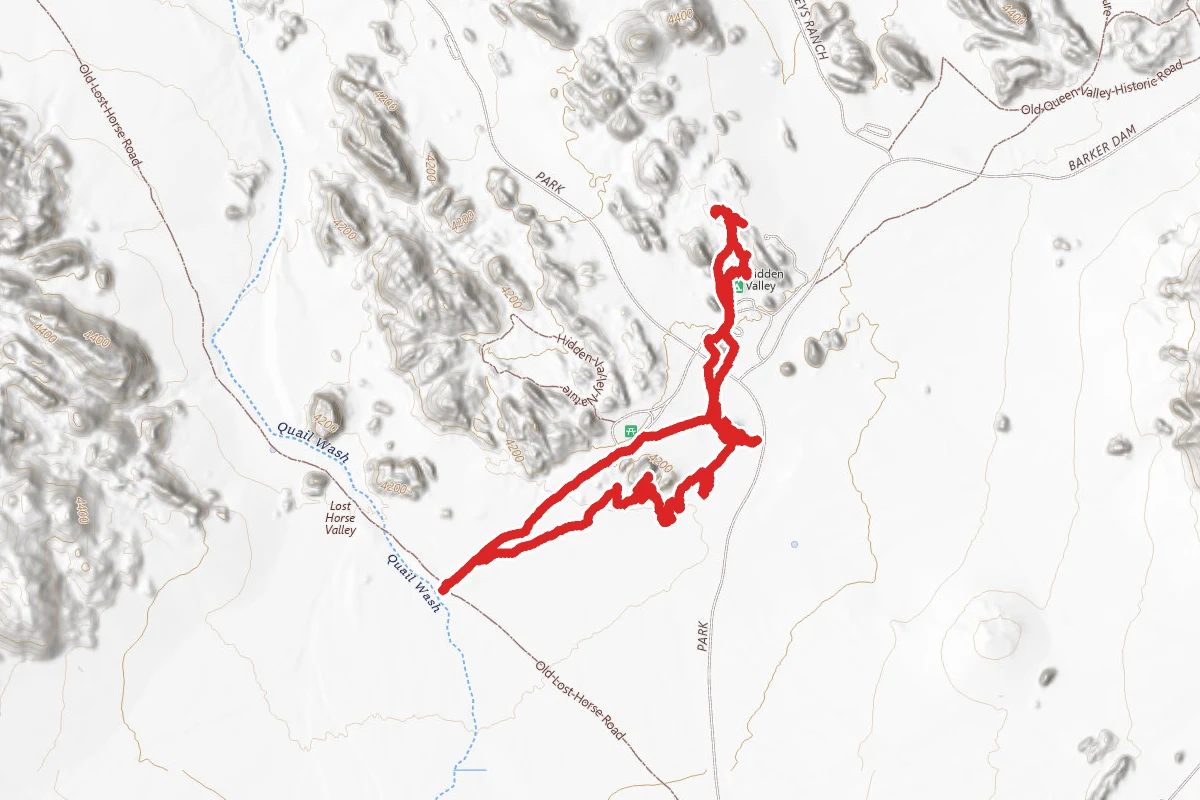
4.1 mi
Distance
604 ft
Elev. Gain
Loop
Route Type
Moderate
Difficulty
About This Trail
Rock Caves Loop is a loop trail in Joshua Tree National Park, managed by the National Park Service, in Riverside County, California. It is 4.1 miles long. The nearest town is Twentynine Palms, California, about 7 miles away in a straight line.
From the trail data on this page. For conditions and closures, see official sources.
Trail Conditions
Trail Conditions
We have no current condition data for this trail. Check with the operator before you go, and submit a report below if you've been recently.
No recent condition reports. Be the first to share what you see on the trail.
Elevation Profile
| Point | Distance from start | Elevation |
|---|---|---|
| Start | 0.0 mi | 1,272 ft |
| High point | 3.2 mi | 1,295 ft |
| End | 4.1 mi | 1,272 ft |
Trail Details
- Route Type
- Loop
Official sources & verification
Managed by National Park Service
Source of truth
- National Park Service unit page
Alerts, conditions, and the unit's plan-your-visit page.
Where it is
- Nearest town:
- Twentynine Palms, CA · about 7 mi away
- County:
- Riverside County, CA
- Jurisdiction:
- Joshua Tree National Park · National Park Service
Nearest town and county from U.S. Census Bureau place records and county boundaries.
Verify by phone or mail
- Operator:760-367-5500
- Address:74485 National Park Drive · Twentynine Palms, CA · 92277-3597
Reviews
No reviews yet
Be the first to share your experience and help others plan their visit.
Legacy import — verify before navigating
Path geometry came from our pre-launch legacy database. Routes have not yet been re-verified against the operator and may differ from the actual trail.
Nearby Trails
More trails near Rock Caves Loop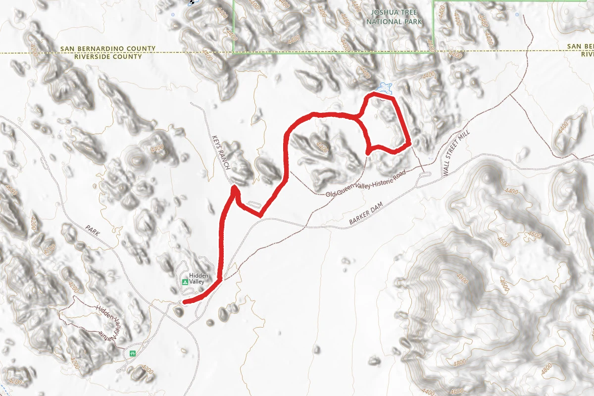
Hidden Valley Campground to Barker Dam Nature Trail
0.3 mi away
Climbing access: the old woman, and the blob
0.3 mi away
Hidden Valley Nature Trail
0.4 mi away
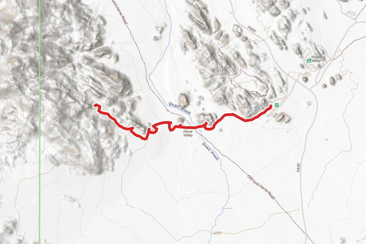
Candlestein Pass Trail
0.4 mi away
Approach to Dihedral Rock Northeast Face
0.9 mi away
Approach to Snickers North Face
0.9 mi away
In this park
Other trails in Joshua Tree National Park
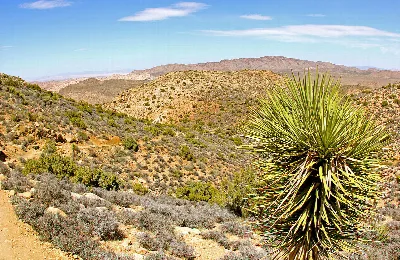
Ryan Mountain Trail
California
Hidden Valley Nature Trail
California
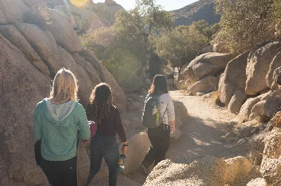
Barker Dam Nature Trail
California
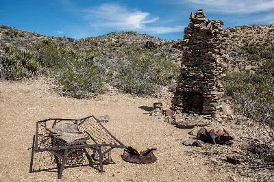
Lost Horse Mine Loop
California
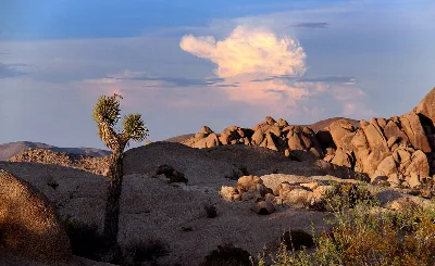
Skull Rock Nature Trail
California
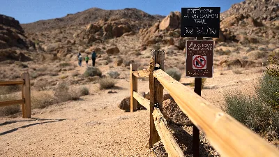
Fortynine Palms Oasis Trail
California
Stay nearby
Campgrounds near this trail
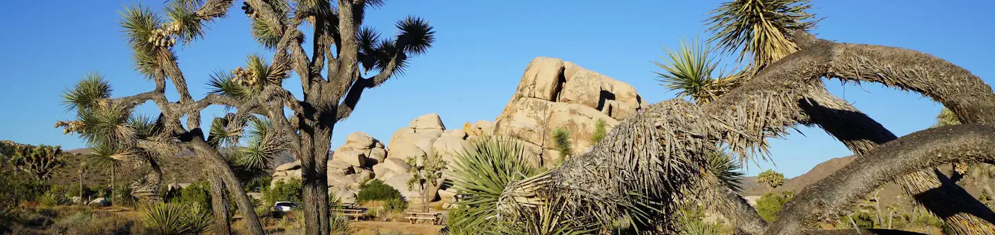
Ryan Campground
1.9 mi awayJoshua Tree National Park
Twentynine Palms, CA
Check official pricing37 sitesReservable TentRV Very popularBooks up fast · 70% No Service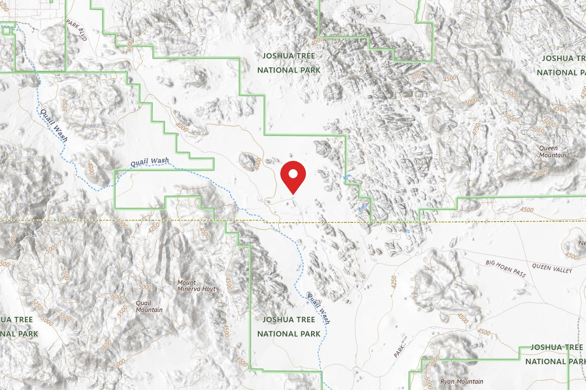
Boy Scout Trail Backcountry Camping
2.5 mi awayJoshua Tree National Park
Twentynine Palms, CA
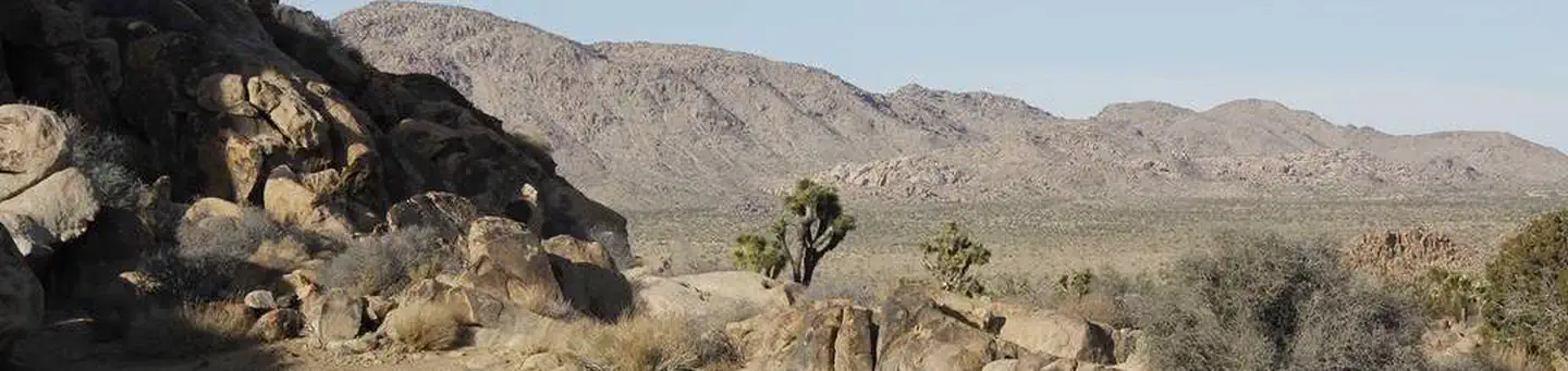
Joshua Tree National Park Sheep Pass Campground
2.5 mi awayJoshua Tree National Park
Twentynine Palms, CA
Check official pricing6 sitesNational Park Reservable Well reviewed Major Issues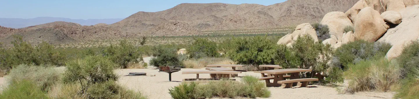
Indian Cove Campground
5.7 mi awayJoshua Tree National Park
Twentynine Palms, CA
Check official pricing211 sitesReservable TentRV Very popularModerate demand · 48% Major Issues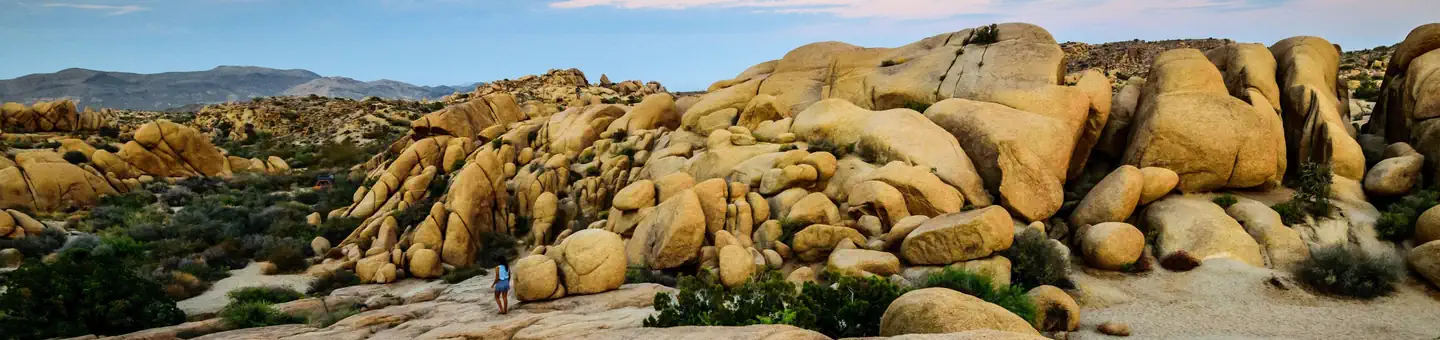
Jumbo Rocks Campground
5.8 mi awayJoshua Tree National Park
Twentynine Palms, CA
Check official pricing124 sitesReservable TentRV Very popular No Service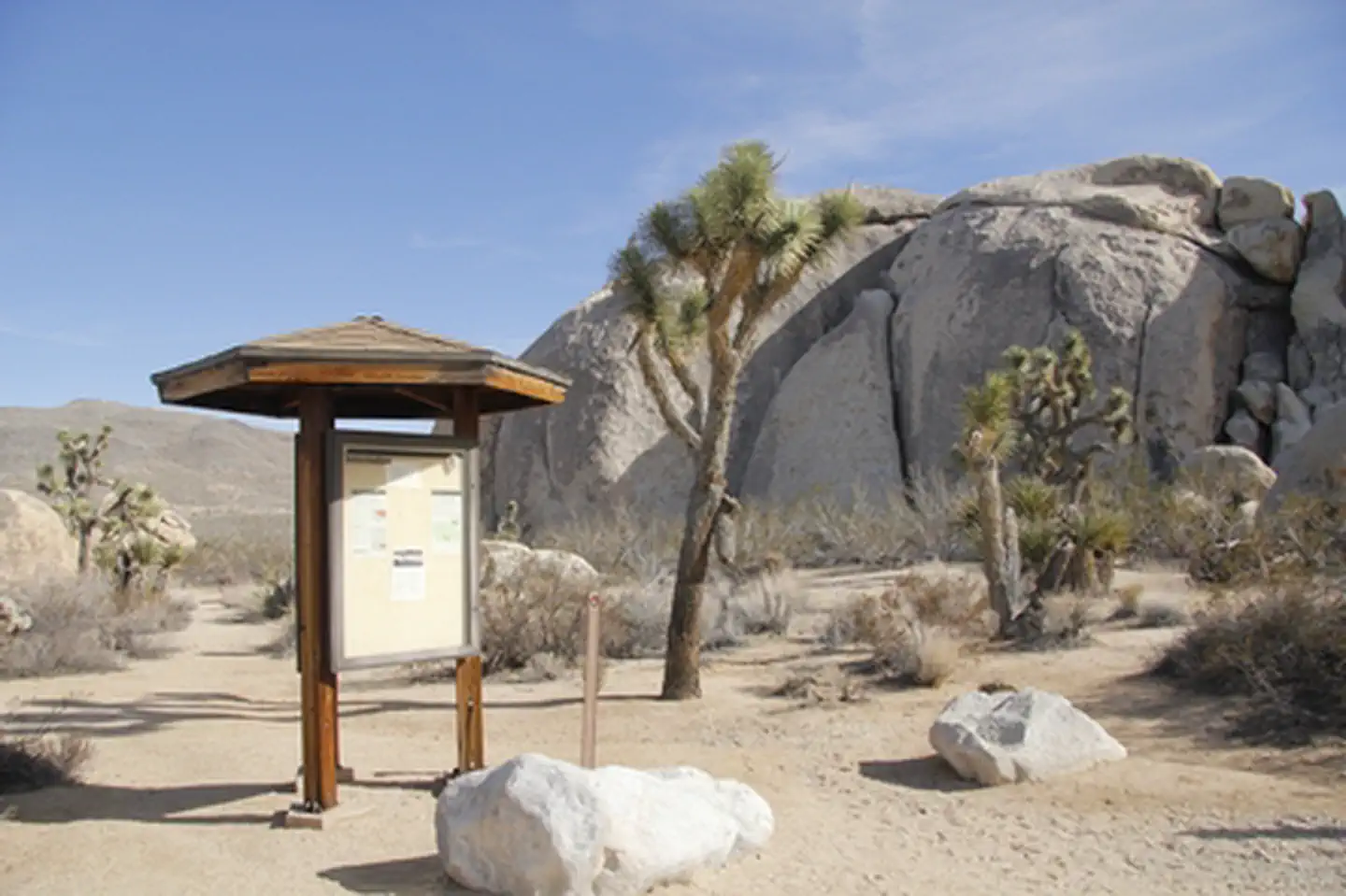
Similar length
Similar trails in California
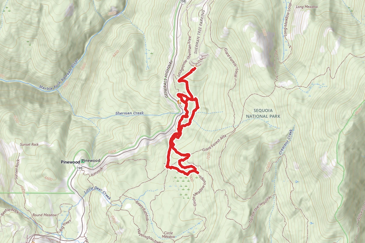
Congress Trail
California
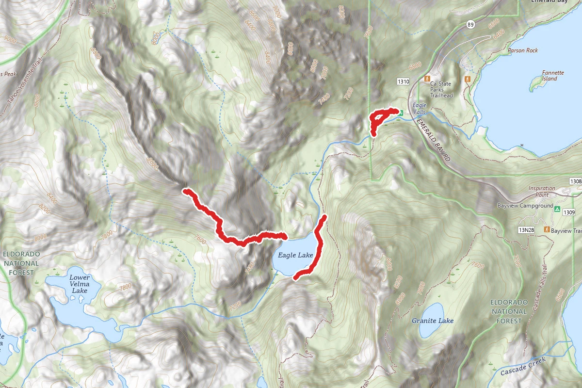
Eagle Lake Trail
California
Lassen Peak
California
Ryan Mountain Trail
California
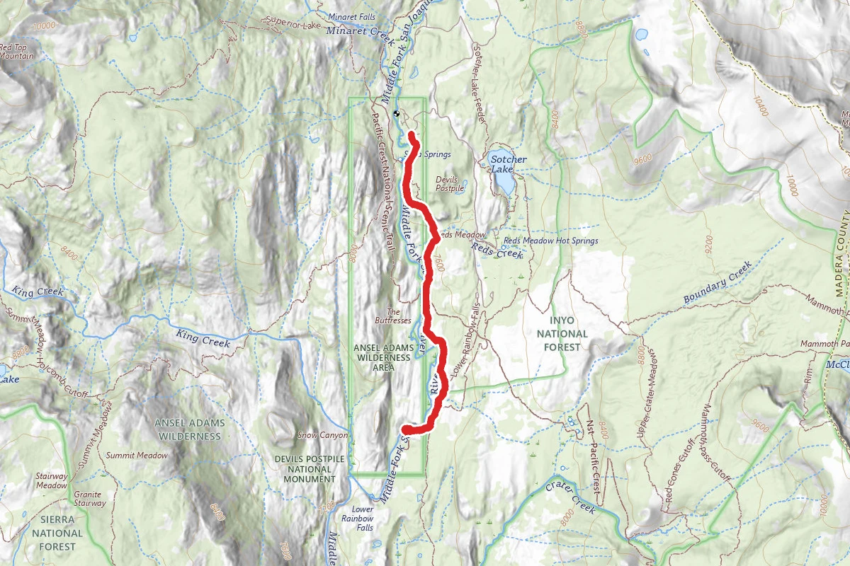
Rainbow Falls via Devils Postpile Trail
California
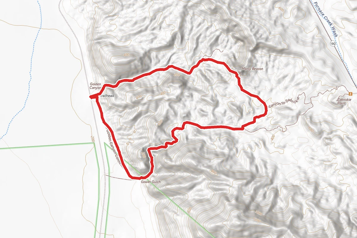
Gower Gulch Loop Trail
California