Moderate
Porcupine Creek Trail to Indian Ridge Natural Arch to North Dome [CLOSED]
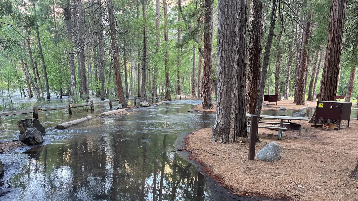
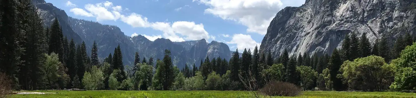
Yosemite Valley, California
10.4 mi
Distance
2,644 ft
Elev. Gain
4h 31m
Est. Time
0.0
0 Reviews
About This Trail
The trail starts from the Porcupine Creek Trailhead and goes downhill for 1.5 miles. The side trail to Indian Rock is at the top of the ridge. The trail goes down to the summit of North Dome after Indian Rock.
Trail Details
Out & Back
Route Type
Dirt
Surface
No Dogs
Dog Policy
Yes
Kid Friendly
No
Permit Required
Elevation Profile
Min:2,256 ft
Max:2,585 ft
806 ft
806 ft
Reviews
No reviews yet
Be the first to share your experience and help others plan their visit.
Trail Conditions
Trail Conditions
Unknown
Updated Unknown
No recent condition reports. Be the first to share what you see on the trail.
Nearby Trails
More trails near Porcupine Creek Trail to Indian Ridge Natural Arch to North Dome [CLOSED]Porcupine Creek to Indian Rock, North Dome, and Columbia Rock via Tioga Pass Road [CLOSED]
20.4 km
Difficult
May Lake High Sierra Camp from Tioga Pass Road [CLOSED]
10.3 km
Moderate
May Lake to Glen Aulin Trail [CLOSED]
35.1 km
Moderate
May Lake Camp to Yosemite Valley [CLOSED]
45.5 km
Difficult
Yosemite Creek Trail [CLOSED]
19.3 km
Moderate
Olmsted Point Nature Trail [CLOSED]
0.6 km
Easy
In this park
Other trails in Yosemite National Park

Half Dome
California
3.2 km1,463 mgain
Expert

Mirror Lake Loop
California
6.2 km30 mgain
Easy
Yosemite Falls Trail
California
4.8 km823 mgain
Difficult

Four Mile Trail
California
7.7 km975 mgain
Difficult
Upper Yosemite Falls Trail
California
11.6 km1,575 mgain
Difficult
Four Mile Trail
California
14.8 km2,058 mgain
Difficult
Stay nearby
Campgrounds near this trail
Porcupine Flat Campground
1.1 mi away · CA
Yosemite Creek - Yosemite National Park
3.1 mi away · CA
 Reservable
North Pines Campground
3.6 mi away · CA
Reservable
Yosemite Valley Backpacker's Campground
4.4 mi away · CA
 Reservable
Lower Pines Campground
4.7 mi away · CA
- Reservable
Lower Pines Campground
4.8 mi away · CA
Similar length
Similar trails in California
.jpg/1280px-Lost_Horse_Mine_Loop_Trail_(16650877030).jpg)
Lost Horse Mine Loop
California
14.0 km152 mgain
Moderate
Potato Chip Rock via Mt. Woodson Trail
California
12.2 km1,108 mgain
Difficult
Iron Mountain Trail
California
8.4 km435 mgain
Moderate
Mission Peak Loop from Stanford Avenue Staging Area
California
9.3 km686 mgain
Difficult
Echo Mountain via Sam Merrill Trail
California
8.7 km1,194 mgain
Moderate
Echo Mountain via Sam Merrill Trail [CLOSED]
California
8.7 km1,194 mgain
Moderate