National Park
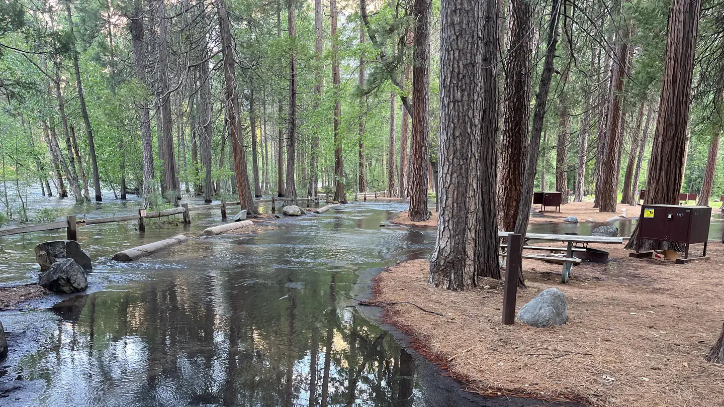
Yosemite Creek - Yosemite National Park
Yosemite National Park · Yosemite National Park, CA
Verify with the National Park Service
NPS publishes current conditions, alerts, and reservation availability on the park website. Site counts and hours can change without notice — confirm before traveling.
Pricing
Check official pricing0.0
0 Reviews
Official sources & verification
Managed by National Park Service
Source of truth
- Agency source page
The page our published rules and notes are derived from.
Reserve or permit
- Reserve a site
Book a site directly with the operator.
Verify by phone or mail
- Address:Yosemite National Park, CA
About
It's located a bit over an hour away from those two places and a bit off the plain of the north foothills of the Sierra Nevada. It's important to note that many campsites are located near a water source which is all that is required to keep the water clean and fresh. RV and trailers are not good for a harder to access park and more primitive campsite. The visitor services are outside the campground.
Reviews
No reviews yet
Be the first to share your experience and help others plan their visit.
Amenities
Flush Toilets
Picnic Tables
Fire Rings
Trash Service
Pet Policy
Pets allowed on leash
Campground Rules
- Campfires generally permitted — verify current fire restrictions before lighting
In this park
Trails at Yosemite National Park


Within ~30 miles
Trails near Yosemite Creek - Yosemite National Park
Trail
Ten Lakes Trailhead to Tenaya Lake
California
18.7 mi5,417 ftgain
Expert

Trail
Yosemite Falls Trail
California
7.2 mi2,700 ftgain
Difficult
Trail
Yosemite Point
California
8.5 mi6,365 ftgain
Expert
Trail
Upper Yosemite Falls Trail
California
7.2 mi5,167 ftgain
Expert
Trail
Mirror Lake Loop
California
3.9 mi98 ftgain
Easy
Trail
Four Mile Trail to Panorama Trail to Mist Trail
California
11.9 mi5,902 ftgain
Expert
Hunt context
Hunting unit around this campground
During hunting seasons, wear blaze orange and check regulations — see the California hunting page
Nearby Campgrounds

Spot an error in our data on Yosemite Creek - Yosemite National Park?