Status unknown — verify before visiting

We don't have current condition data for this trail. Check with the land manager before you go.

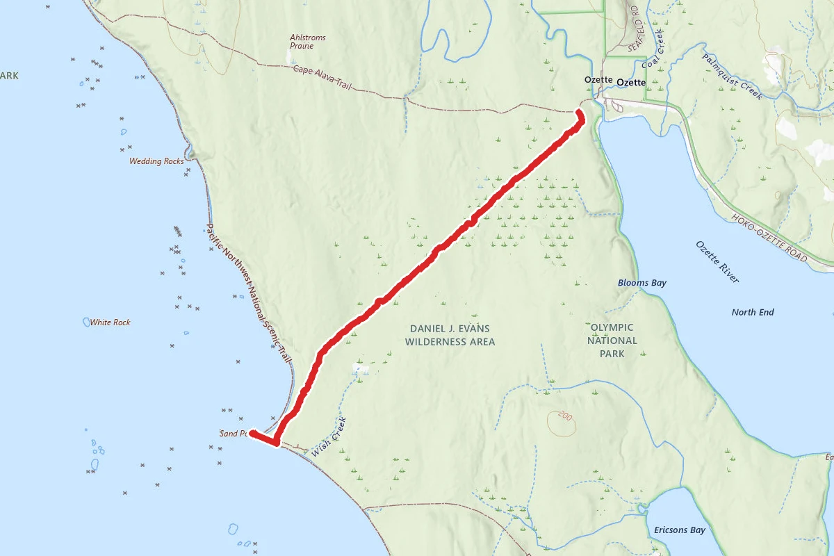
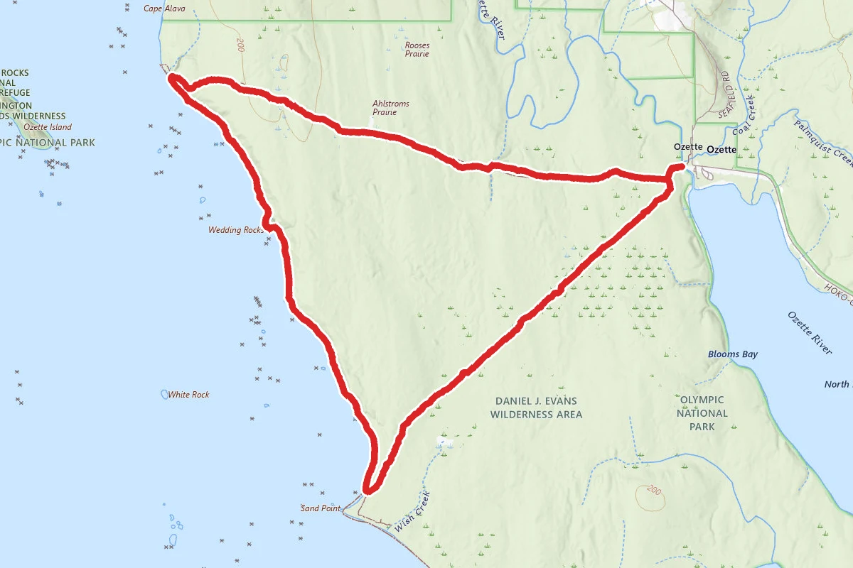
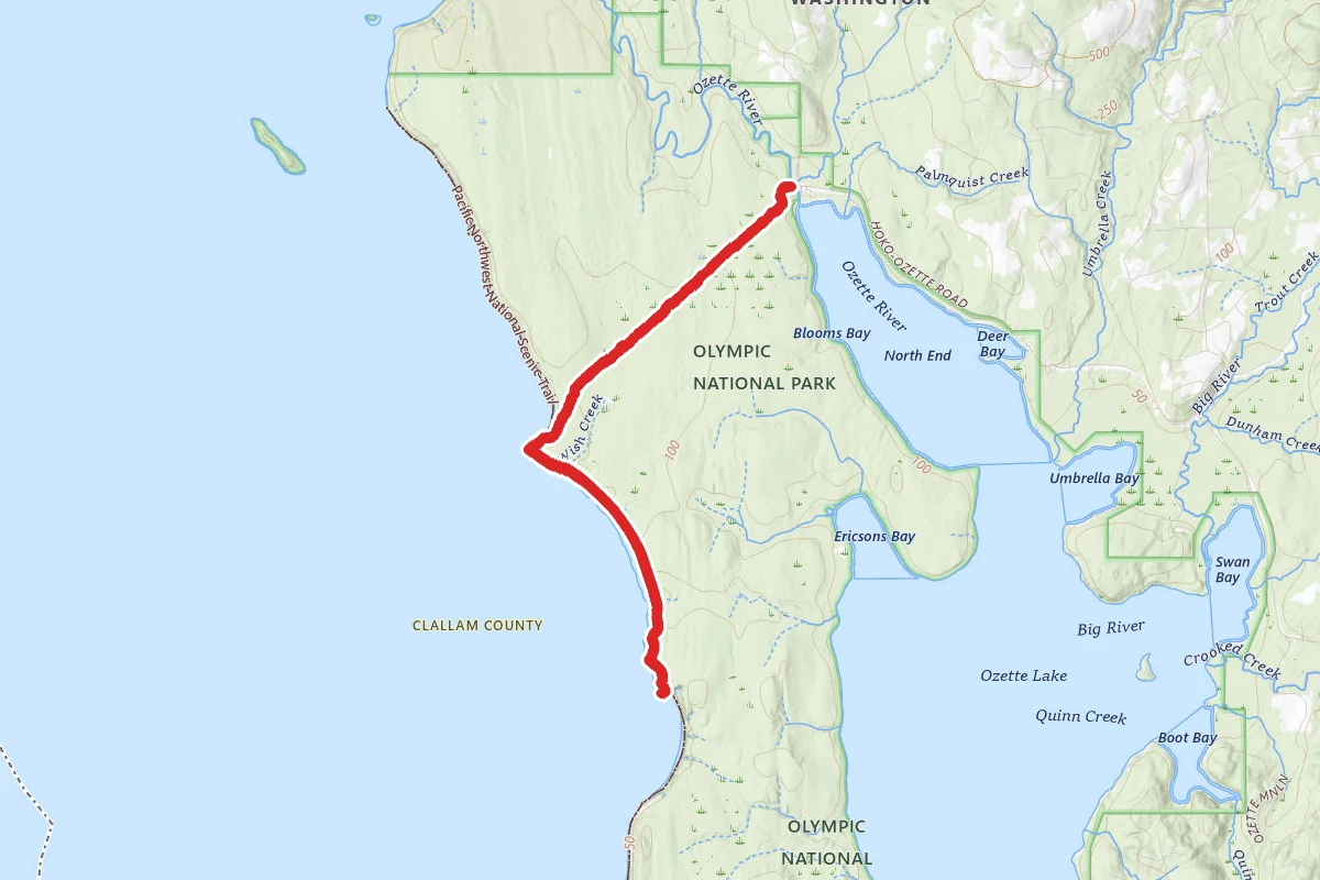
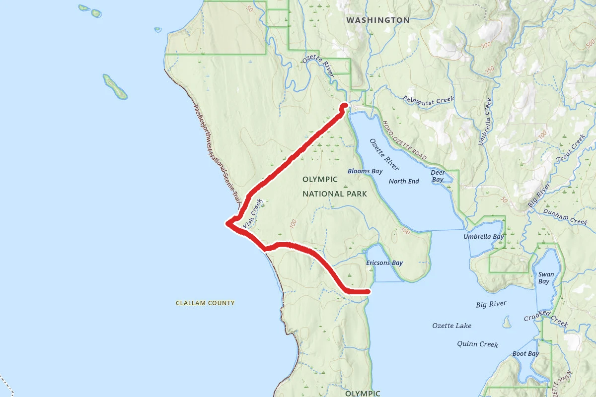
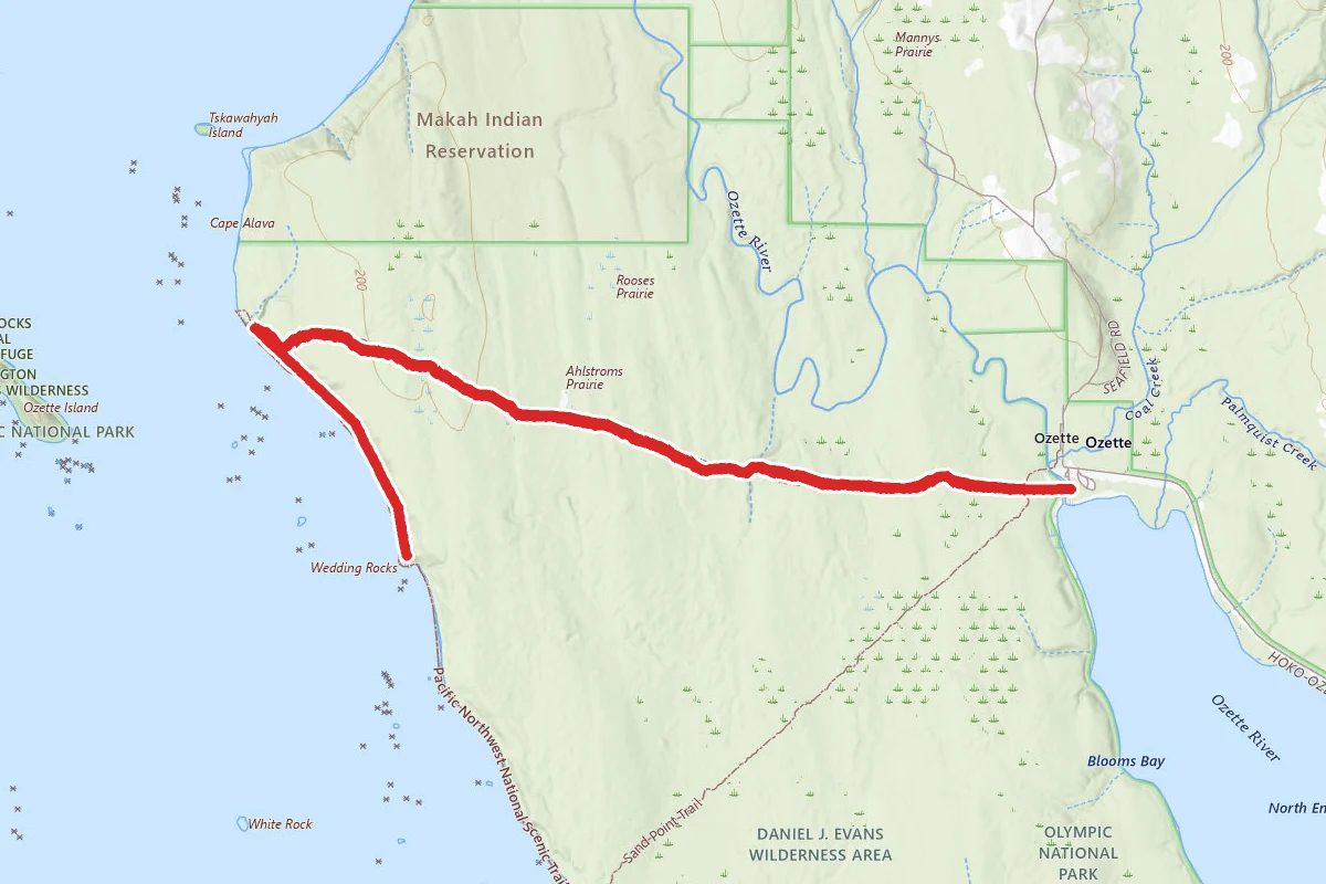
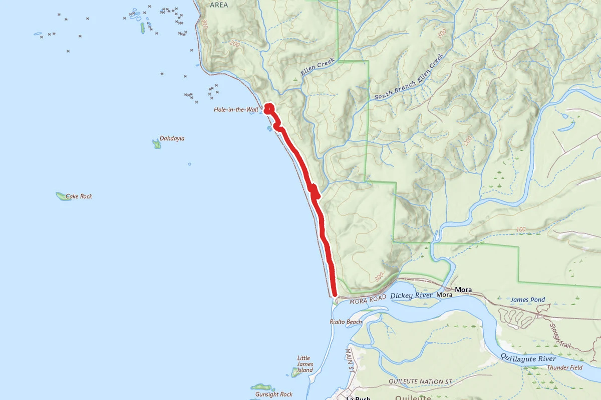
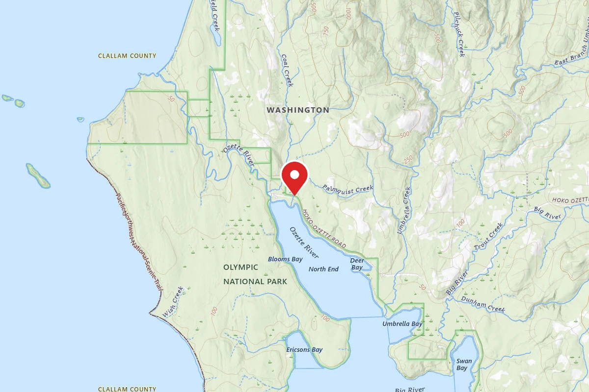
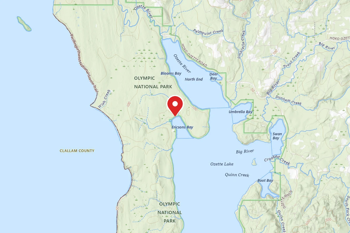
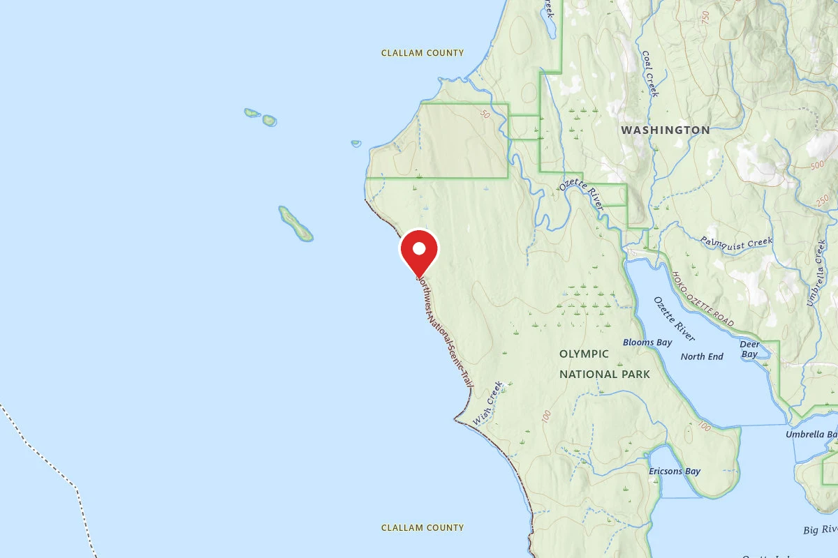
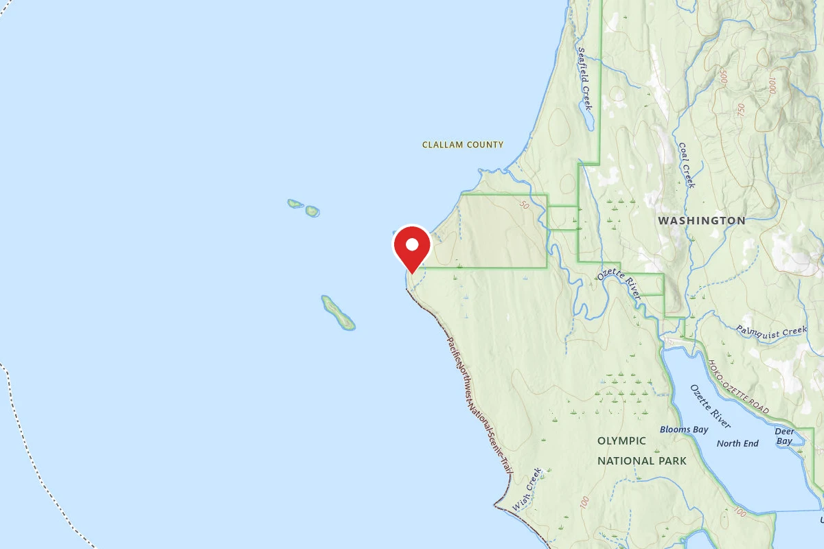
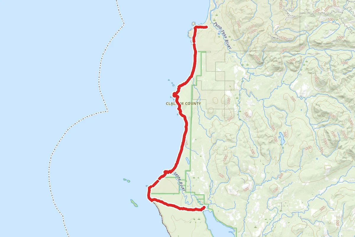
Point of the Arches Trail route map
ExpertOut and Back

Point of the Arches Trail

Sekiu, Washington

30.9 mi

Distance

7,169 ft

Elev. Gain

12h 2m

Est. Time

Out & Back

Route Type

Expert

Difficulty

About This Trail

Imported description
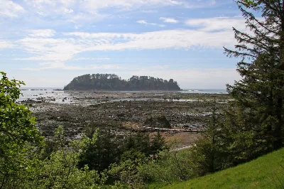
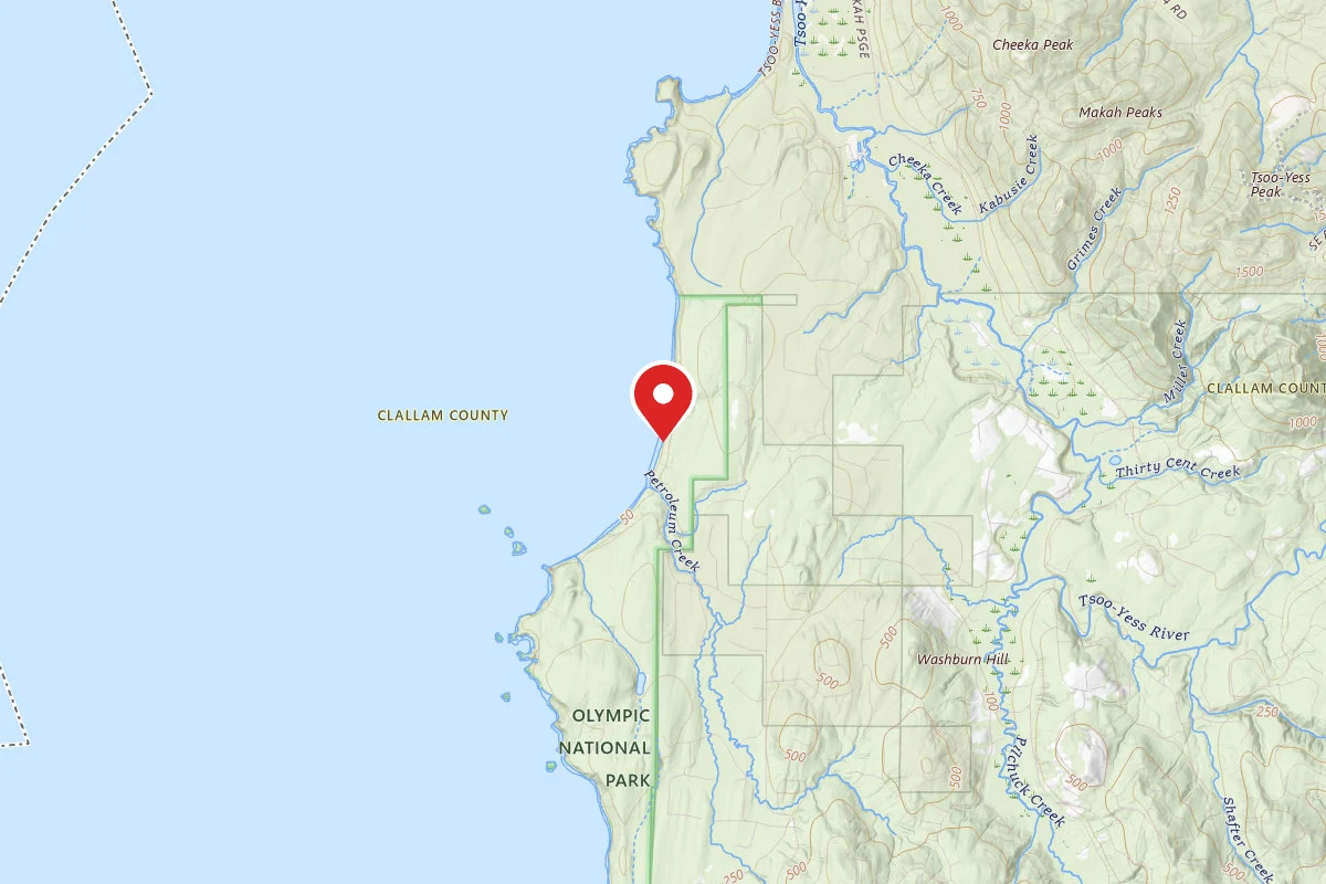
Beginning at the Cape Alava Trailhead, it’s a pretty easy jaunt for the first 3.4 miles to the beach, aided by crossing over some of the longest stretches of boardwalk you will see, that span some of the more marshy areas. It’s mostly flat, and you will make good time reaching the beach. Your first views upon reaching the coast are across wide tide flats, towards Ozette Island, a large rock outcropping just off the shoreline. If you get there on a clear day, you will be able to see as well as hear Bald Eagles that roam and nest along this section of the coast. Heading north, its easy walking on sandy beach until you reach your first of many overland routes, at 4.8 miles. These are usually aided by a rope tied off at the top to help pull yourself up to gain access to an overland trail to get you around a point at high tide. Some you can go around, but there are a few, including a long overland route further along, that you must take to get around a rocky promontory. They are usually designated by a white circle that is quartered, with two opposing sections white, the other two are bright orange. However, we found that many of these routes are marked by buoys scavenged from the ocean. From this short overland its .4 miles to the next short overland before reaching the Ozette River, at 5.58 miles, where you will have to ford. Be sure to plan your trip accordingly to cross at low tide, making the ford much easier. Just beyond the river you will see a few campsites up in the tree line, called the North Ozette River camp. The beach stretches out along a wide open coast with little to break it up, giving you a clear sight line all the way to the Father and Son rocks, sticking out beyond your next point of land. It’s relatively easy walking all along this section of beach, and you will pass by Seafield Creek at 7.8 miles, which would have been a logical mid-way stopping point. There are only a couple sites here tucked back up in the trees, so getting a permit for these sites can be problematic. As you approach the point of land that reaches out towards the Father and Son rocks, you will notice it is a jumbled mass of large boulders, so be careful rounding this point to reach a small cove with a thumbnail beach around the point, at 9.25 miles. It’s a blind point, you can’t see around it, but don’t worry, at low to mid tide you can cross around the point to reach the small beach. It’s here that you will come to another overland route, and this one is quite steep, and you will need to use the rope to pull yourself up. Descending down the other side, you will again make your way across rugged beach, rocks and sand, to your next overland route at 9.8 miles, and this is the long section that must be used to get around the rocky and impassible coastline. This route gets you up on top, to follow a trail through old growth forest for the next .5 miles, before dropping you back down to beach level for a short walk then back up and over the next section of trail. It’s here that you will pass a small scenic cove viewed from above, where the tides rush in through a hole in the rocks below. You drop down again at 11 miles, and follow the beach towards Point of the Arches, past more scenic sea stacks, being pounded by the ocean. At 11.8 miles, you reach the Arches point, and if you’ve timed the tides right, it’s a quick trip around to the other side, where you will now be on Shi-Shi Beach, a wide and flat beach with little to break it up. Look for camps up in the driftwood around the 12 mile mark. Please note; during extreme tides, usually during the full moon, be sure to camp high in the driftwood, or in the tree line! Otherwise, you run the risk of getting a visit from the high tide! From Shi-Shi camp, it’s a quick trip across flat wide open sandy beach to your trailhead at 2 miles. Head uphill to the flat trail that leads you back to the Makah Shi/Shi Trailhead, another 2.1 miles.

Trail Conditions

Trail Conditions

Unknown

We have no current condition data for this trail. Check with the operator before you go, and submit a report below if you've been recently.

No recent condition reports. Be the first to share what you see on the trail.

Elevation Profile

Min:0 ft
Max:132 ft
2,185 ft
2,185 ft
0 ft44 ft88 ft132 ft0.0 mi7.7 mi15.5 mi23.2 mi30.9 mi

Trail Details

Route Type
Out & Back
Surface
Dirt

Official sources & verification

Managed by National Park Service

Verify before you go

Source of truth

Verify by phone or mail

  • Operator:360-565-3130
  • Address:Olympic National Park Visitor Center, 3002 Mount Angeles Road · Port Angeles, WA · 98362
We display cached information from agency feeds. Hours, fees, permits, closures, fire restrictions, and conditions change without notice. Outdoors is not the permitting authority. Confirm current conditions for this trail using the links above before you go — you are responsible for compliance. Last verified by us: May 23, 2026. Our copy is more than a month old — please reconfirm with the agency before relying on it.Spot an error in our data?

Reviews

No reviews yet

Be the first to share your experience and help others plan their visit.

Legacy import — verify before navigating

Path geometry came from our pre-launch legacy database. Routes have not yet been re-verified against the operator and may differ from the actual trail.

Hunt context

This trail crosses hunting unit

During hunting seasons, wear blaze orange and check regulations — see the Washington hunting page

Spot an error in our data on Point of the Arches Trail?