Status unknown — verify before visiting
We don't have current condition data for this trail. Check with the land manager before you go.
32.8 mi
Distance
10,564 ft
Elev. Gain
13h 29m
Est. Time
Out & Back
Route Type
Expert
Difficulty
About This Trail
Imported descriptionTrail Conditions
Trail Conditions
We have no current condition data for this trail. Check with the operator before you go, and submit a report below if you've been recently.
No recent condition reports. Be the first to share what you see on the trail.
Elevation Profile
Trail Details
- No dogs
- Kid-friendly
- Route Type
- Out & Back
- Surface
- Dirt
Official sources & verification
Managed by National Park Service
Source of truth
- National Park Service unit page
Alerts, conditions, and the unit's plan-your-visit page.
Verify by phone or mail
- Operator:360-565-3130
- Address:Olympic National Park Visitor Center, 3002 Mount Angeles Road · Port Angeles, WA · 98362
Reviews
No reviews yet
Be the first to share your experience and help others plan their visit.
Legacy import — verify before navigating
Path geometry came from our pre-launch legacy database. Routes have not yet been re-verified against the operator and may differ from the actual trail.
Hunt context
This trail crosses hunting units
During hunting seasons, wear blaze orange and check regulations — see the Washington hunting page
Nearby Trails
More trails near Hoh River Trail
Hoh River Trail to Mineral Creek Falls
Spruce Nature Trail
Spruce Nature Trail and Hall of Mosses Loop
Hoh Rain Forest Hall of Moss
Hoh River Trail to Hoh Lake Trail
Hoh River Trail to Blue Glacier Trail
In this park
Other trails in Olympic National Park
Hoh River Trail to Blue Glacier
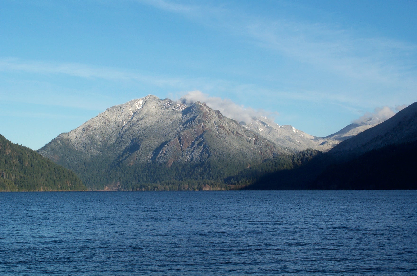
Washington
_(2).jpg/1280px-Hurricane_Ridge_-_Olympic_National_Park_-_Washington_State_(9779814371)_(2).jpg)
Hurricane Ridge Trails
Washington
Marymere Falls Trail
Washington
Mount Storm King
Washington
Hoh Rain Forest Hall of Moss
Washington
Sol Duc Falls Nature Trail
Washington
Similar length
Similar trails in Washington
Sammamish River Trail
Washington
High Divide - Seven Lakes Basin Loop
Washington
Enchanted Valley Chalet via East Fork Quinault River Trail
Washington
Marmot Lake and Jade Lake
Washington
Table Mountain Trail via Pacific Crest Trail
Washington
Chehalis Western Trail
Washington