Difficult
Observation Point via East Rim and East Mesa to [CLOSED]
Mount Carmel Junction, Utah
7.1 mi
Distance
7,762 ft
Elev. Gain
3h 46m
Est. Time
0.0
0 Reviews
About This Trail
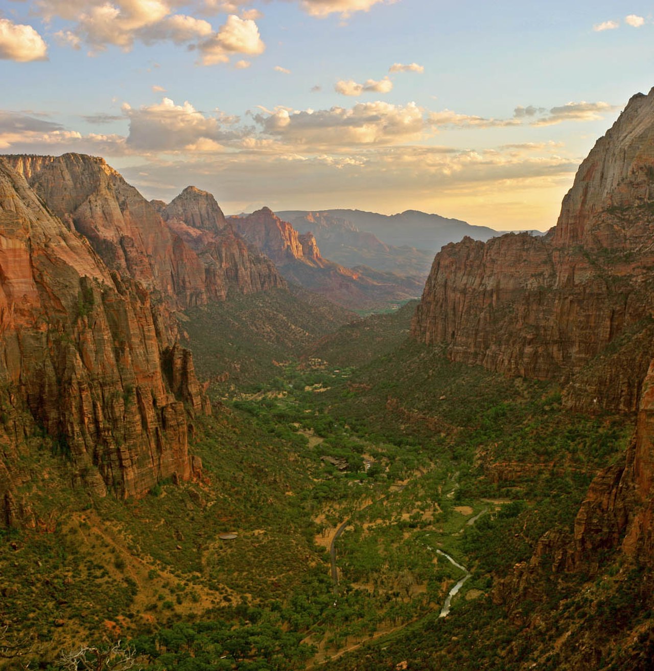
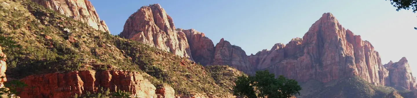
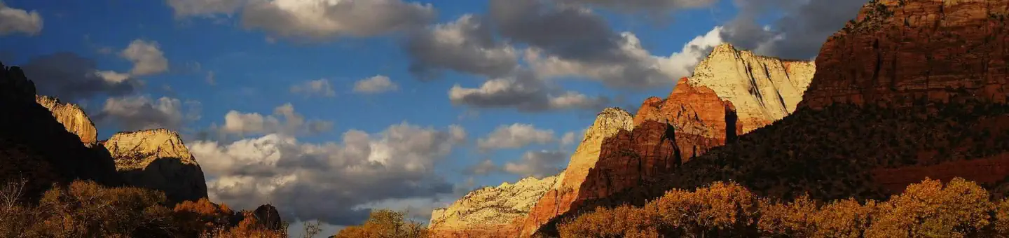
The trail is currently closed because of rockfall. It's a tough hike to the highest point in the park. The main canyon of Zion can be seen from Angels Landing. That is a great view. The trail has many steep inclines. You should take your hiking early to avoid the sun.
Trail Details
Out & Back
Route Type
Dirt
Surface
No Dogs
Dog Policy
Yes
Kid Friendly
No
Permit Required
Elevation Profile
Min:1,342 ft
Max:2,004 ft
2,366 ft
2,366 ft
Reviews
No reviews yet
Be the first to share your experience and help others plan their visit.
Trail Conditions
Trail Conditions
Unknown
Updated Unknown
No recent condition reports. Be the first to share what you see on the trail.
![Observation Point via East Rim and East Mesa to [CLOSED]](https://www.nps.gov/common/uploads/structured_data/3C873CC3-1DD8-B71B-0B076FC2806DF140.jpg?width=800&quality=80)
In this park
Other trails in Zion National Park

.jpg/1280px-Zion_Subway_Hike_(8014446382).jpg)

Stay nearby
Campgrounds near this trail
Reservable
Zion A-Frame Cabin
2.2 mi away · UT
Reservable
Zion Ponderosa Ranch Resort
3.6 mi away · UT
The Virgin River Narrows Campsites 1-12 (Backcountry Wilderness Designated Sites)
4.6 mi away · UT
 Reservable
Watchman Campground
5.1 mi away · UT
Reservable
Zion RV and Campground (Hi-Road)
5.1 mi away · UT
South Campground
5.2 mi away · UT
Similar length
Similar trails in Utah
Devils Garden Primitive Loop
Utah
6.5 km335 mgain
Difficult
Lake Blanche Trail
Utah
11.1 km888 mgain
Difficult
Bells Canyon Trail to Lower Falls
Utah
7.4 km549 mgain
Moderate
Mount Olympus Trail
Utah
10.1 km1,347 mgain
Difficult
Grandeur Peak East Trail from Church Fork
Utah
10.5 km929 mgain
Difficult
Desolation Trail to Salt Lake Overlook
Utah
7.9 km568 mgain
Moderate