Status unknown — verify before visiting
We don't have current condition data for this trail. Check with the land manager before you go.
21.3 mi
Distance
3,458 ft
Elev. Gain
8h 29m
Est. Time
Loop
Route Type
Expert
Difficulty
About This Trail
We don't have an editorial description for Nice Kitty, Shinglemill, Baldy, Sandywash in our cache yet. The planning stats above (distance, elevation gain, estimated time, route type) come from the source listed on this trail.
For current conditions, closures, and route notes, check the official sources below — they're the authority for this trail, not us. Spot something we should add?
Trail Conditions
Trail Conditions
We have no current condition data for this trail. Check with the operator before you go, and submit a report below if you've been recently.
No recent condition reports. Be the first to share what you see on the trail.
Elevation Profile
Trail Details
- Route Type
- Loop
- Surface
- Dirt
Official sources & verification
Managed by United States Forest Service
Managing agency
- United States Forest Service
Find offices, alerts, and current orders for this agency.
Verify by phone or mail
- Address:CO
Reviews
No reviews yet
Be the first to share your experience and help others plan their visit.
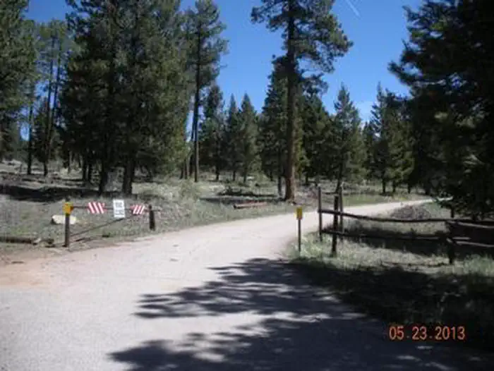
Legacy import — verify before navigating
Path geometry came from our pre-launch legacy database. Routes have not yet been re-verified against the operator and may differ from the actual trail.
Hunt context
This trail crosses hunting units
During hunting seasons, wear blaze orange and check regulations — see the Colorado hunting page

Nice Kitty and Shinglemill Trail Loop
Buffalo Creek West Side Loop
South Buffalo Creek, Nice Kity, Buffalo Burn and Little Scraggy Trail
Baldy Trail, Homestead Trail, and Sandy Wash Trail
Sandy Wash Downhill via Miller Gulch and Homestead Trails
Sunshine Trail
In this park
Other trails in Pike National Forest
Seven Bridges Trail
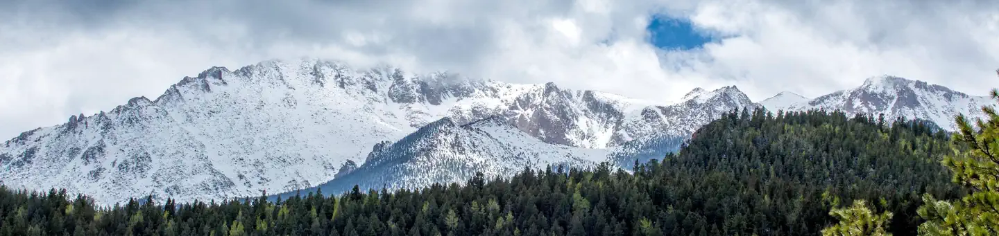
Colorado
Palmer Trail (Section 16)
Colorado
St. Mary's Falls Trail
Colorado
Mount Muscoco Trail
Colorado
Catamount Falls Trail
Colorado
Mount Sherman Trail via Four Mile Creek Road
Colorado
Stay nearby
Campgrounds near this trail
Similar length
Similar trails in Colorado

Longs Peak via Keyhole Route
Colorado
Pikes Peak via Barr Trail
Colorado
Cascade Creek Trail to Mirror Lake and Crater Lake
Colorado
Maroon Bells-Snowmass Wilderness Loop
Colorado
Abyss Trail to Abyss Lake
Colorado
Mount Elbert East Ridge Trail
Colorado