Status unknown — verify before visiting

We don't have current condition data for this trail. Check with the land manager before you go.
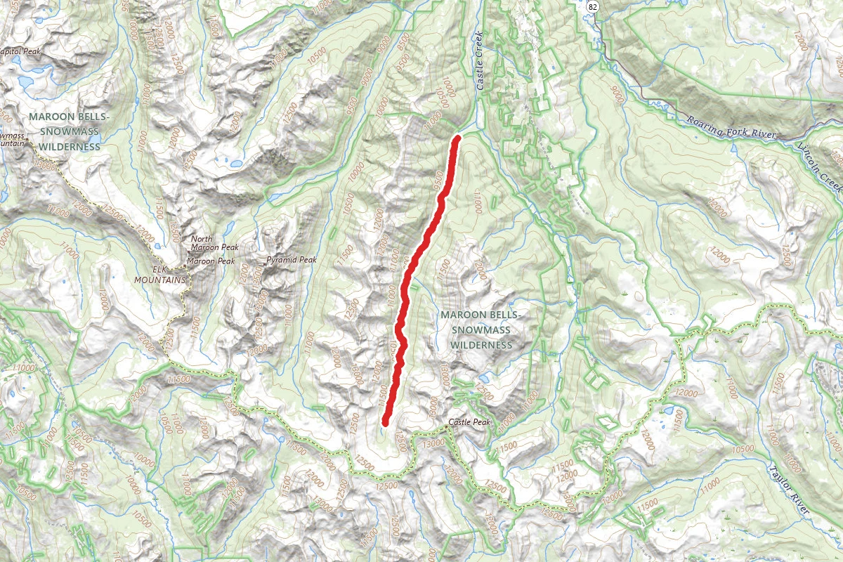
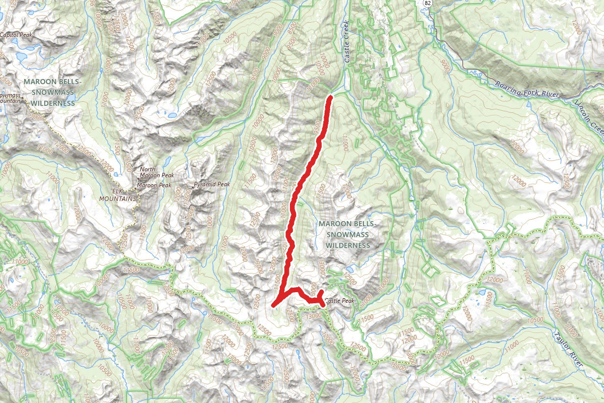
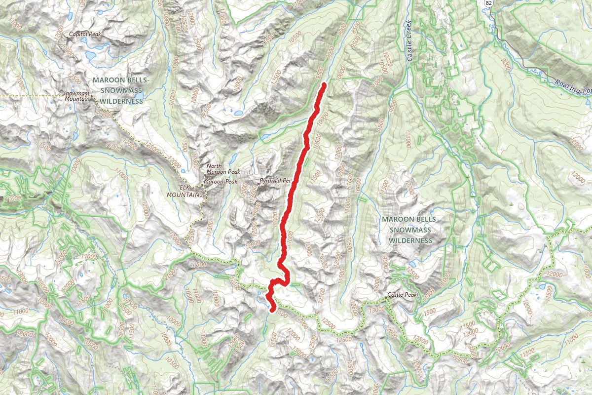
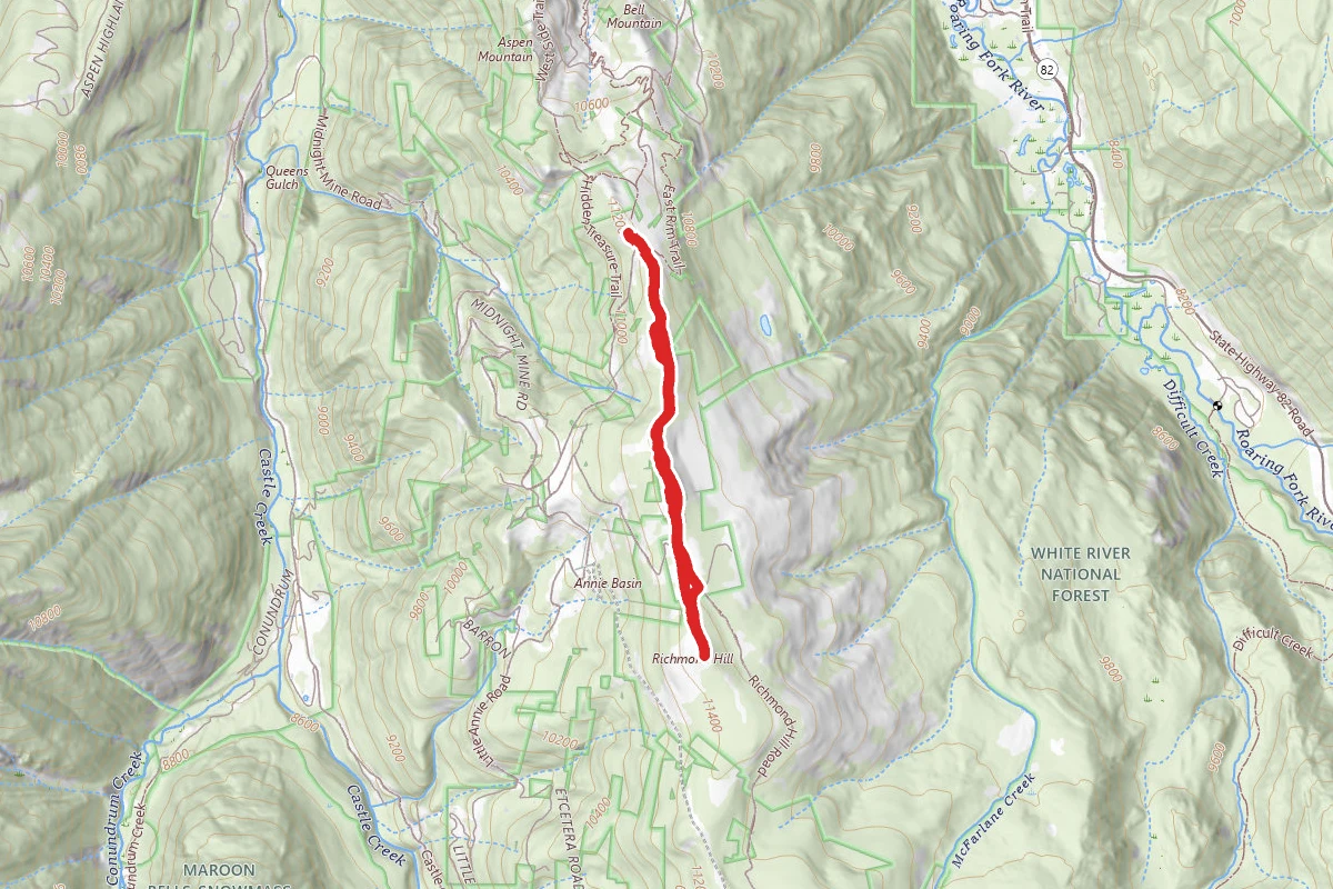
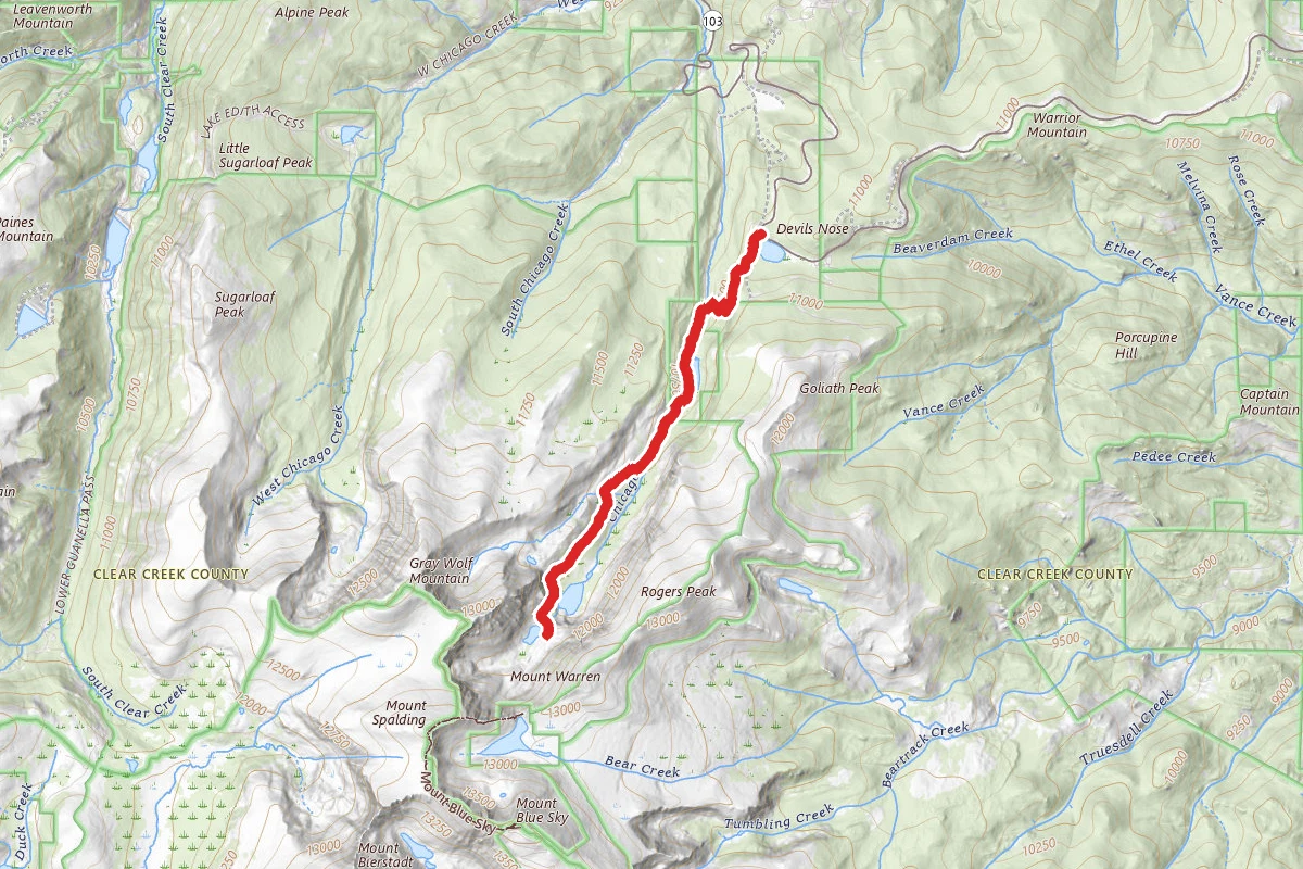
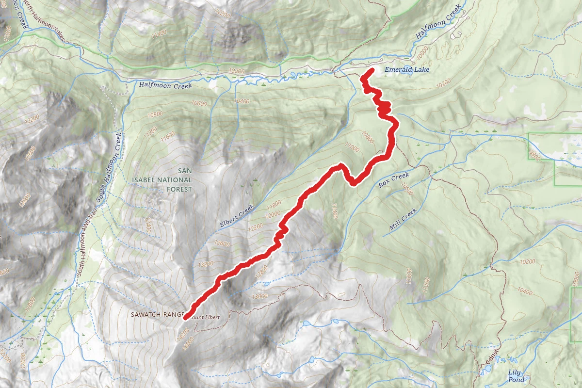
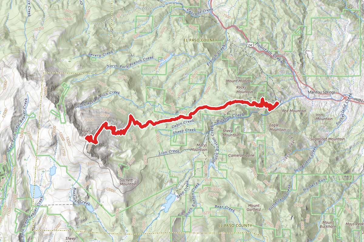
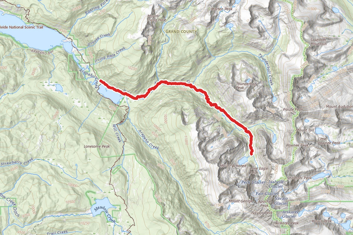
Conundrum Creek Trail to Conundrum Hot Springs route map
ExpertOut and Back

Conundrum Creek Trail to Conundrum Hot Springs

Aspen, Colorado

18.0 mi

Distance

3,875 ft

Elev. Gain

7h 24m

Est. Time

Out & Back

Route Type

Expert

Difficulty

About This Trail

Imported description
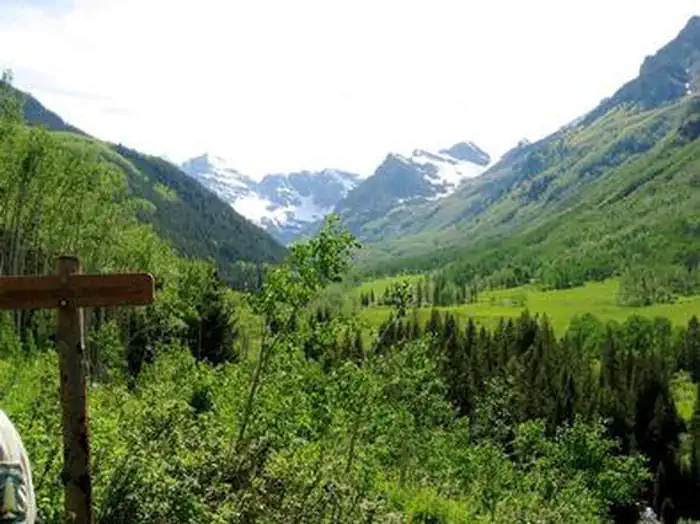
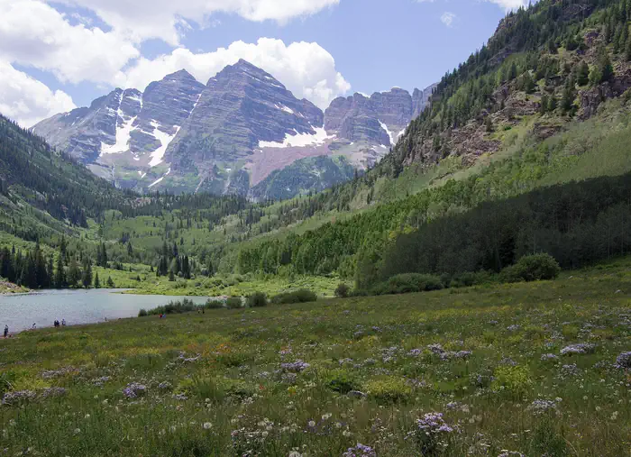
WARNING: Permits are required year-round for overnight camping in the vicinity of Conundrum Hot Springs. Permits are ONLY available at www.recreation.gov. The permit area includes all of Conundrum Creek Valley from Silver Dollar Pond to Triangle Pass. Overnight campers are required to reserve and camp in designated sites. Each designated campsite has an individual maximum number of people allowed to camp at the site (from 2-6 people). Conundrum Hot Springs/Conundrum Creek Trail is great for backpacking and normally takes a full day each way. It takes about 5-8 hours to hike in and 3-6 hours to hike out, on average. The trail is at high elevation, beginning at about 8,000 feet and ending at about 11,200 feet. The hike in is almost entirely uphill, at a fairly easy grade. The hike out is almost all downhill. The trail can be rocky and muddy but it is easy to follow and rated somewhere between moderate and difficult. The trail starts out at the trailhead where you will find parking for about 25 cars. However, because this trail gets so popular in late summer you may want to arrive early to ensure you get a spot. You will also need a bear canister for your food and scented products. Nearby retailers rent out these canisters. You may want to bring an extra pair of shoes because your feet are going to get wet. The hike begins with a mild grade through meadows, along Conundrum Creek, and through stands of aspen trees. There are lots of wildflowers and epic views of the snowy mountains in the distance. At about 2.5 miles you will come to your first major creek crossing, where there is a nice, wide, wooden bridge. From there the trail continues along the water and through more meadows. You will also pass a few ponds, and begin to see more pine trees. At mile 6 there is another major creek crossing with a wide wooden bridge. At 6.5 miles there is another creek crossing, this time with no bridge. You will see a sign directing you to a rope that you can hold onto while you cross the creek. The water may be deep and it is very cold, so use caution when making this crossing. From there, the last few miles of this trail are a bit steeper and may still have snow on them, especially if you are making this trip in June. At mile 8 you will see a cabin and a sign pointing you to campsites and the springs. The final hour or so of this hike involves many small creek crossings and your feet are likely to get wet. The springs are located above most of the campsites and are easy to find. There is one main hot springs pool that fits about 15 people and is about 102 degrees. Please note that you cannot have campfires in the upper campgrounds, and you will need to camp in designated spaces only (permits required). Rangers do patrol this hike and because of it's popularity, please be mindful to keep this area pristine. Please pack out all trash and follow all rules. Dogs are not permitted once you reach the permitted campsites and hot springs.

Trail Conditions

Trail Conditions

Unknown

We have no current condition data for this trail. Check with the operator before you go, and submit a report below if you've been recently.

No recent condition reports. Be the first to share what you see on the trail.

Elevation Profile

Min:2,678 ft
Max:3,458 ft
1,181 ft
1,181 ft
2,678 ft2,938 ft3,198 ft3,458 ft0.0 mi4.2 mi8.4 mi12.5 mi16.7 mi

Trail Details

Route Type
Out & Back
Surface
Dirt

Official sources & verification

We don't have curated agency sources for this trail in our cache yet. Outdoors is not the permitting authority — confirm conditions, permits, and access with the managing agency before you go. If you know who manages this trail, please tell us.

Reviews

No reviews yet

Be the first to share your experience and help others plan their visit.

Legacy import — verify before navigating

Path geometry came from our pre-launch legacy database. Routes have not yet been re-verified against the operator and may differ from the actual trail.

Hunt context

This trail crosses hunting units

During hunting seasons, wear blaze orange and check regulations — see the Colorado hunting page
Spot an error in our data on Conundrum Creek Trail to Conundrum Hot Springs?