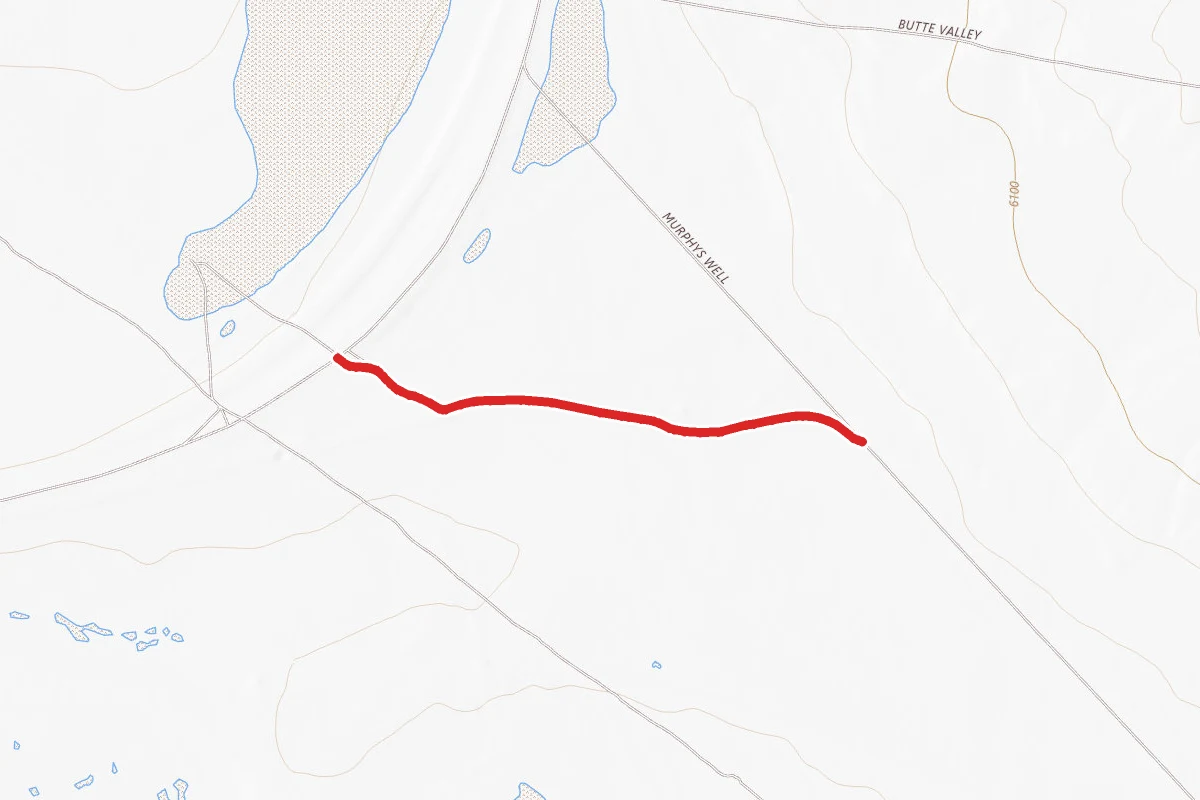
Murphys Well
1.2 mi
Distance
7 ft
Elev. Gain
25m
Est. Time
Point to Point
Route Type
Easy
Difficulty
About This Trail
Murphys Well is a point-to-point trail in Elko County, Nevada. It is 1.2 miles long and gains 7 feet.
From the trail data on this page. For conditions and closures, see official sources.
Trail Conditions
Trail Conditions
We have no current condition data for this trail. Check with the operator before you go, and submit a report below if you've been recently.
No recent condition reports. Be the first to share what you see on the trail.
Elevation Profile
| Point | Distance from start | Elevation |
|---|---|---|
| Start | 0.0 mi | 1,845 ft |
| End | 1.2 mi | 1,846 ft |
Trail Details
- Route Type
- Point to Point
Official sources & verification
Source of truth
- Agency source page
The page our published rules and notes are derived from.
Where it is
- County:
- Elko County, NV
Nearest town and county from U.S. Census Bureau place records and county boundaries.
Reviews
No reviews yet
Be the first to share your experience and help others plan their visit.
OpenStreetMap
Nearby Trails
More trails near Murphys Well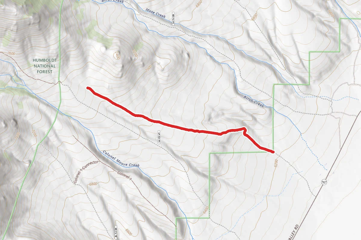
Colonel
12.7 mi away
Carter Spru B
13.2 mi away
Baxter 10
13.5 mi away
Battle Creek
13.5 mi away
Lutts 5
13.6 mi away
Watermelon
13.7 mi away
Stay nearby
Campgrounds near this trail
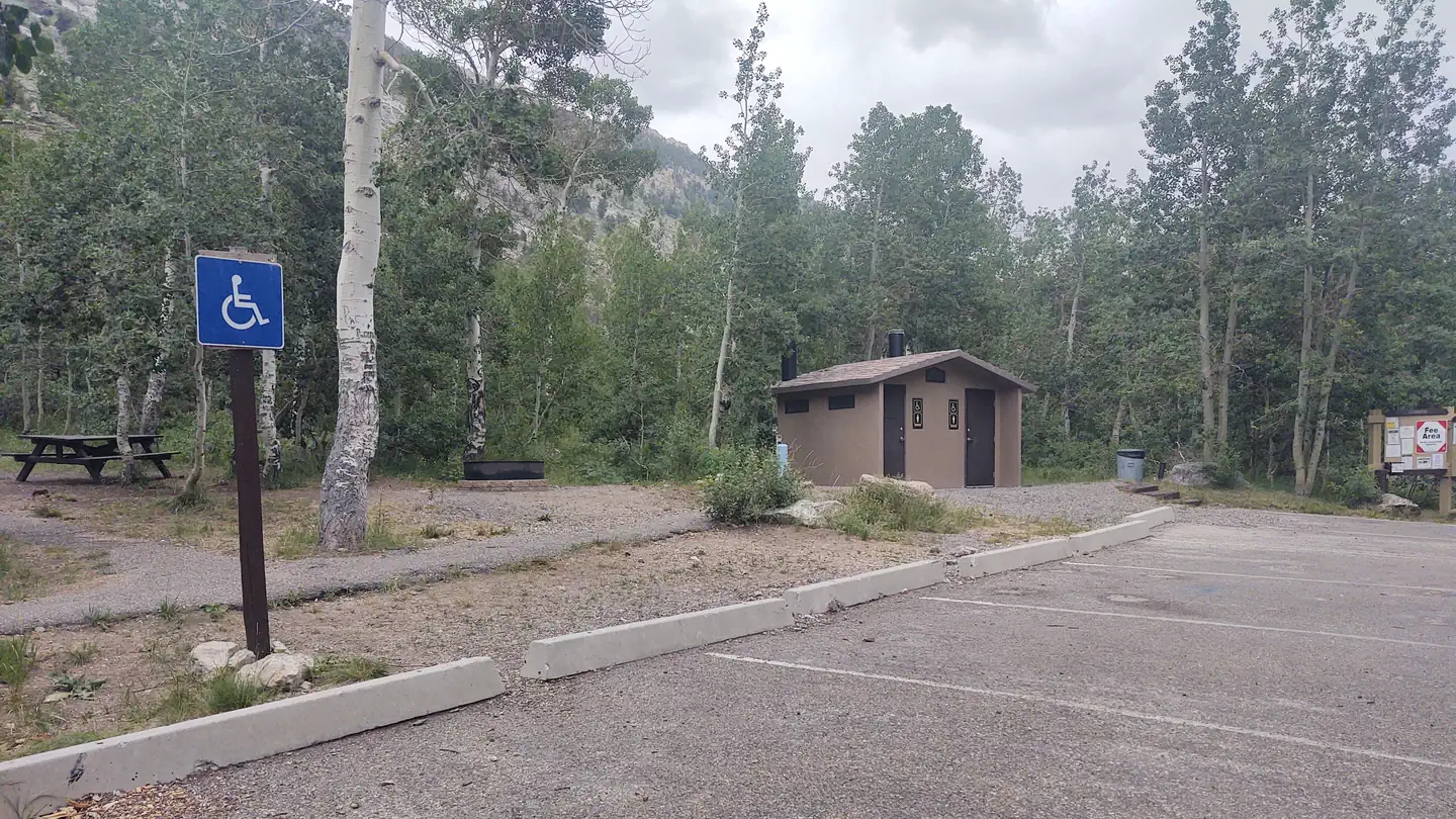
Humboldt-Toiyabe National Forest Terraces Picnic and Group Camping Site
17.4 mi awayHumboldt National Forest
Lamoille, NV
Pricing varies — check with the operator1 sitesNational Forest Reservable No Service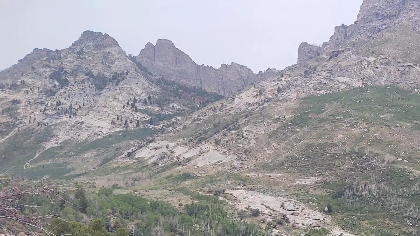
Thomas Canyon
19.7 mi awayHumboldt National Forest
Lamoille, NV
Check official pricing80 sitesReservable TentRV Popular No Service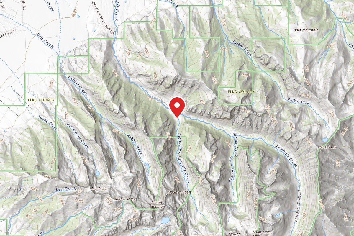
Camp Lamoille-Dispersed Camping
21.6 mi awayHumboldt National Forest
Lamoille, NV
Pricing varies — check with the operatorDispersed Reservable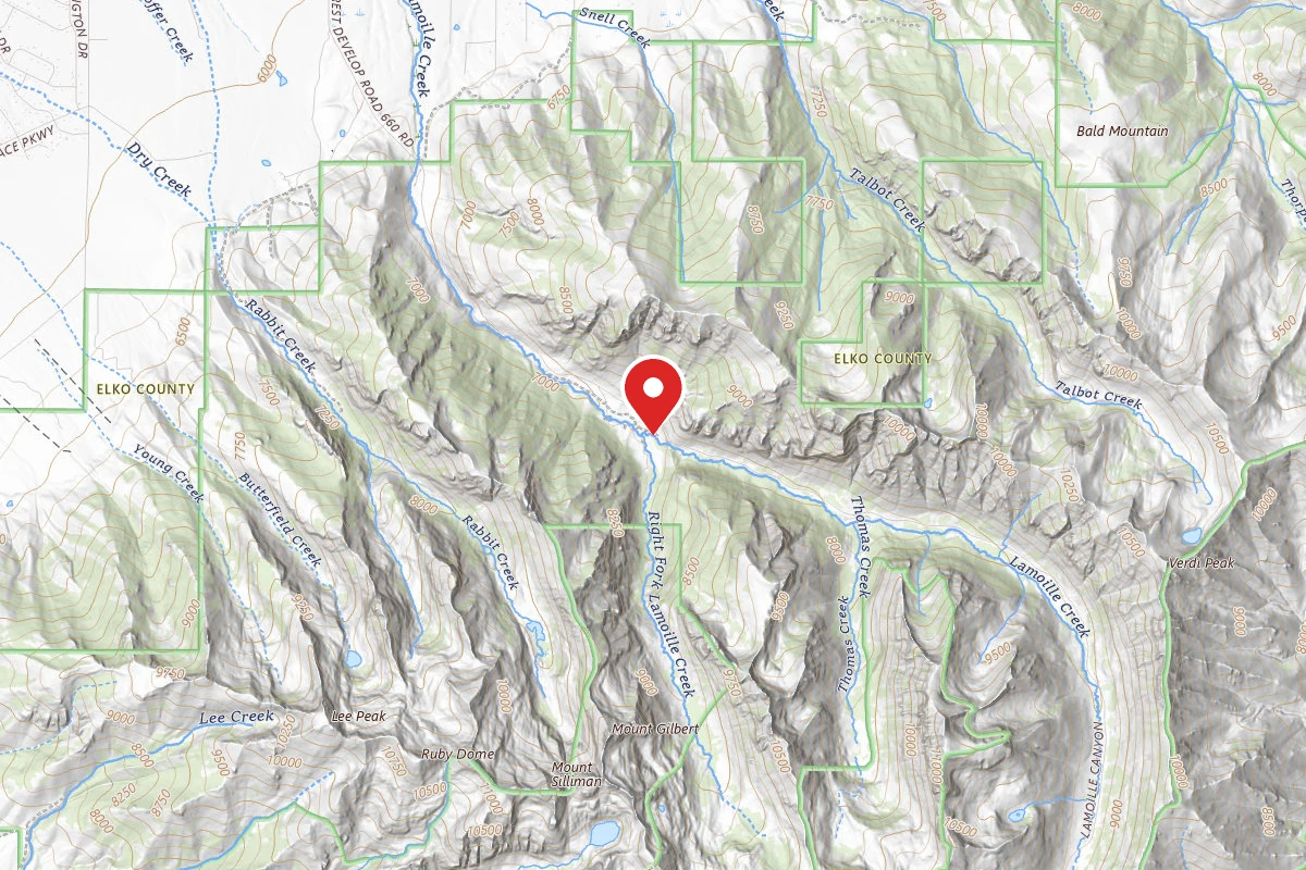
Dispersed Site near 40.6606, -115.4388
21.6 mi awayHumboldt National Forest
Dispersed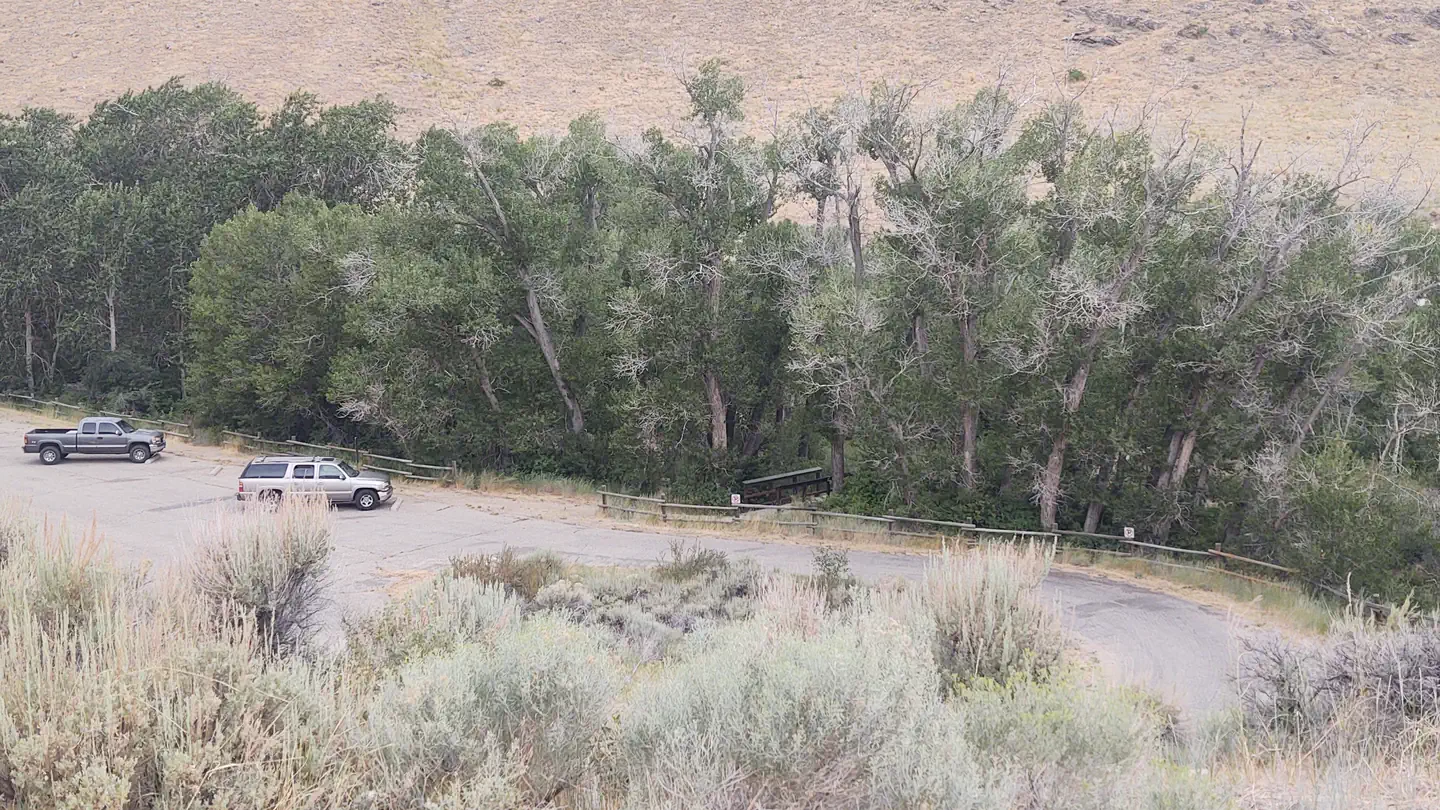
Powerhouse Group Picnic Area
23.8 mi awayHumboldt National Forest
Lamoille, NV
Check official pricing1 sitesReservable Some Coverage
Similar length
Similar trails in Nevada
Fire Wave Trail
Nevada
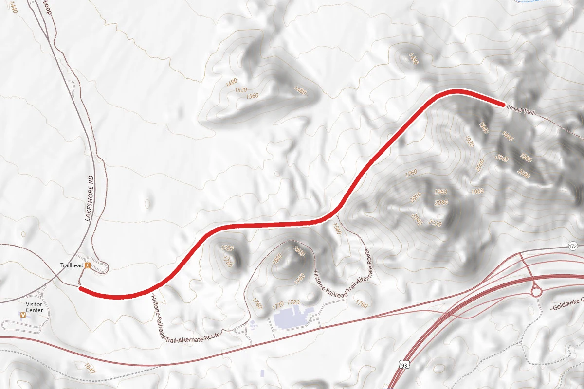
Historic Railroad Trail
Nevada
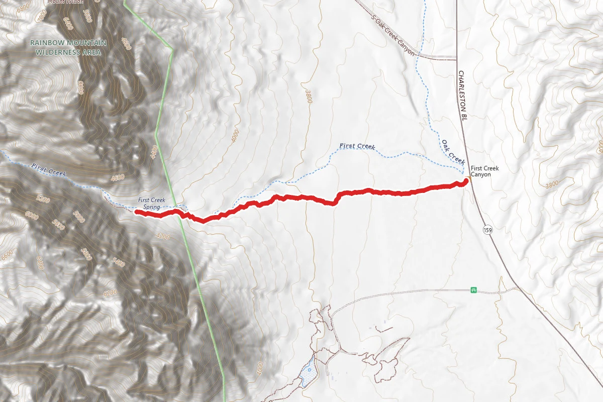
Pine Creek Canyon Trail
Nevada
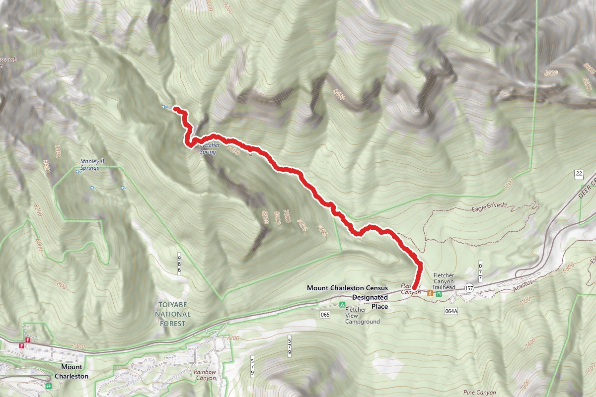
Fletcher Canyon Trail
Nevada
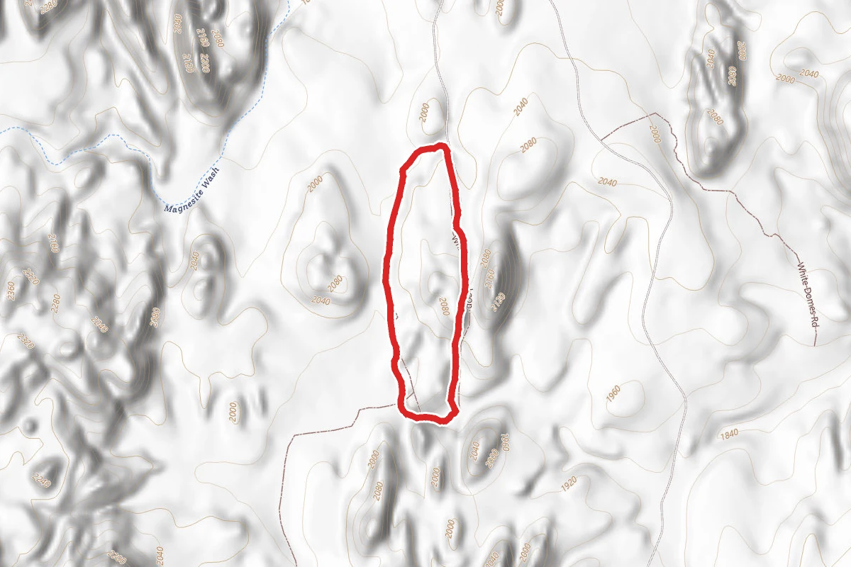
White Domes Trail
Nevada
Stateline Lookout
Nevada