Status unknown — verify before visiting
We don't have current condition data for this trail. Check with the land manager before you go.
1.8 mi
Distance
1,713 ft
Elev. Gain
1h 26m
Est. Time
Out & Back
Route Type
Difficult
Difficulty
About This Trail
We don't have an editorial description for Fletcher Canyon Trail in our cache yet. The planning stats above (distance, elevation gain, estimated time, route type) come from the source listed on this trail.
For current conditions, closures, and route notes, check the official sources below — they're the authority for this trail, not us. Spot something we should add?
Trail Conditions
Trail Conditions
We have no current condition data for this trail. Check with the operator before you go, and submit a report below if you've been recently.
No recent condition reports. Be the first to share what you see on the trail.
Trail Details
- Route Type
- Out & Back
- Surface
- Dirt
Official sources & verification
Managed by United States Forest Service
Managing agency
- United States Forest Service
Find offices, alerts, and current orders for this agency.
Verify by phone or mail
- Address:NV
Reviews
No reviews yet
Be the first to share your experience and help others plan their visit.
OpenStreetMap
Hunt context
This trail crosses hunting units
During hunting seasons, wear blaze orange and check regulations — see the Nevada hunting page

In this park
Other trails in Toiyabe National Forest
Hunter Creek Trail
Nevada
Mary Jane Falls Trail
Nevada
Mount Rose Trail
Nevada
Van Sickle Rim Trail Connector
Nevada
Castle Rock Loop Trail
Nevada
Tunnel Creek Trail
Nevada
Stay nearby
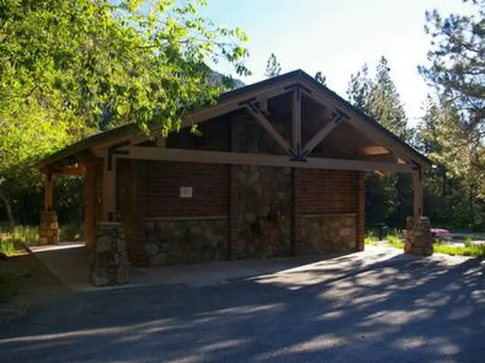
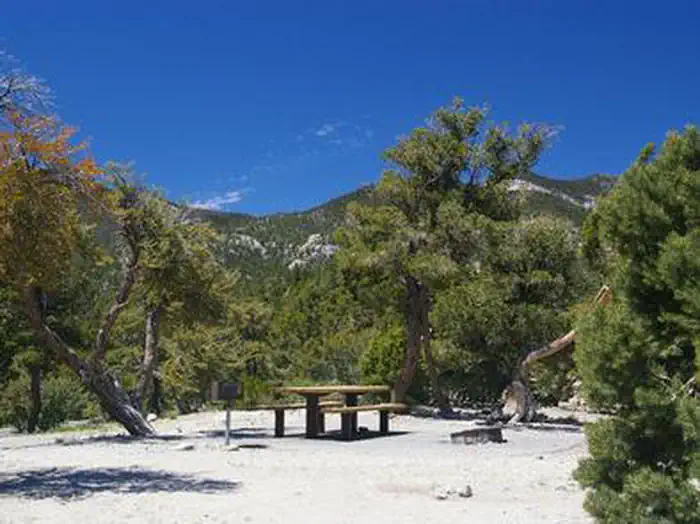
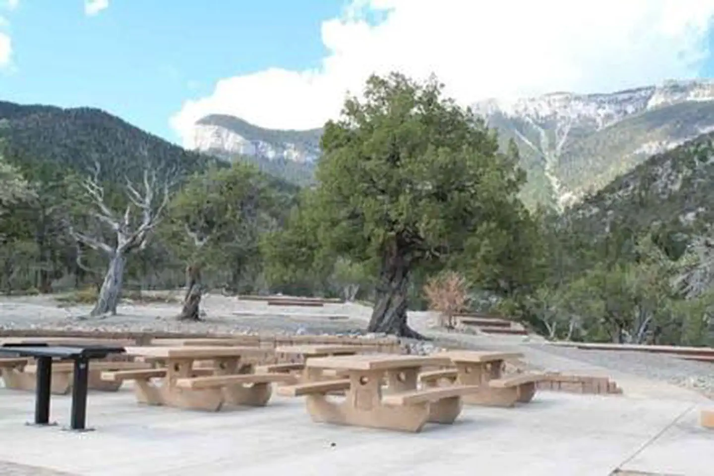
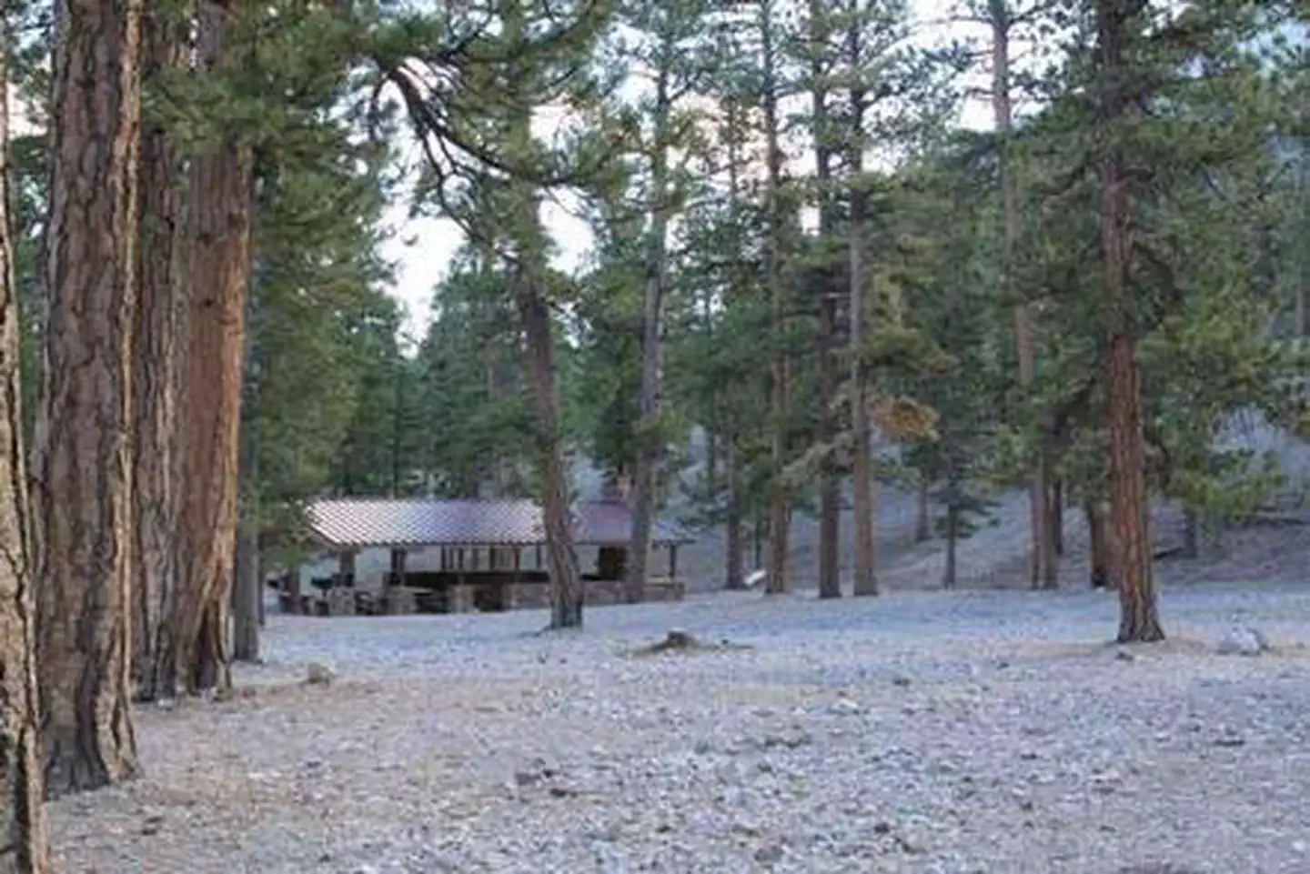
Campgrounds near this trail
Similar length
Similar trails in Nevada
Calico Tanks Trail
Nevada
Ice Box Canyon Trail
Nevada
Pine Creek Canyon Trail
Nevada
White Domes Trail
Nevada
Fire Wave Trail
Nevada
Castle Rock Loop Trail
Nevada