Status unknown — verify before visiting

We don't have current condition data for this trail. Check with the land manager before you go.

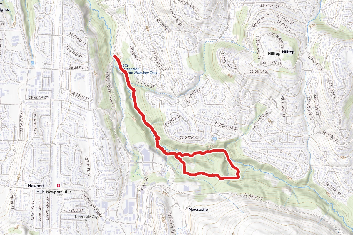
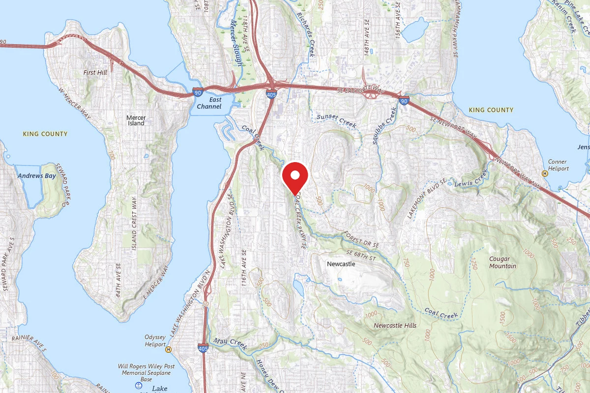
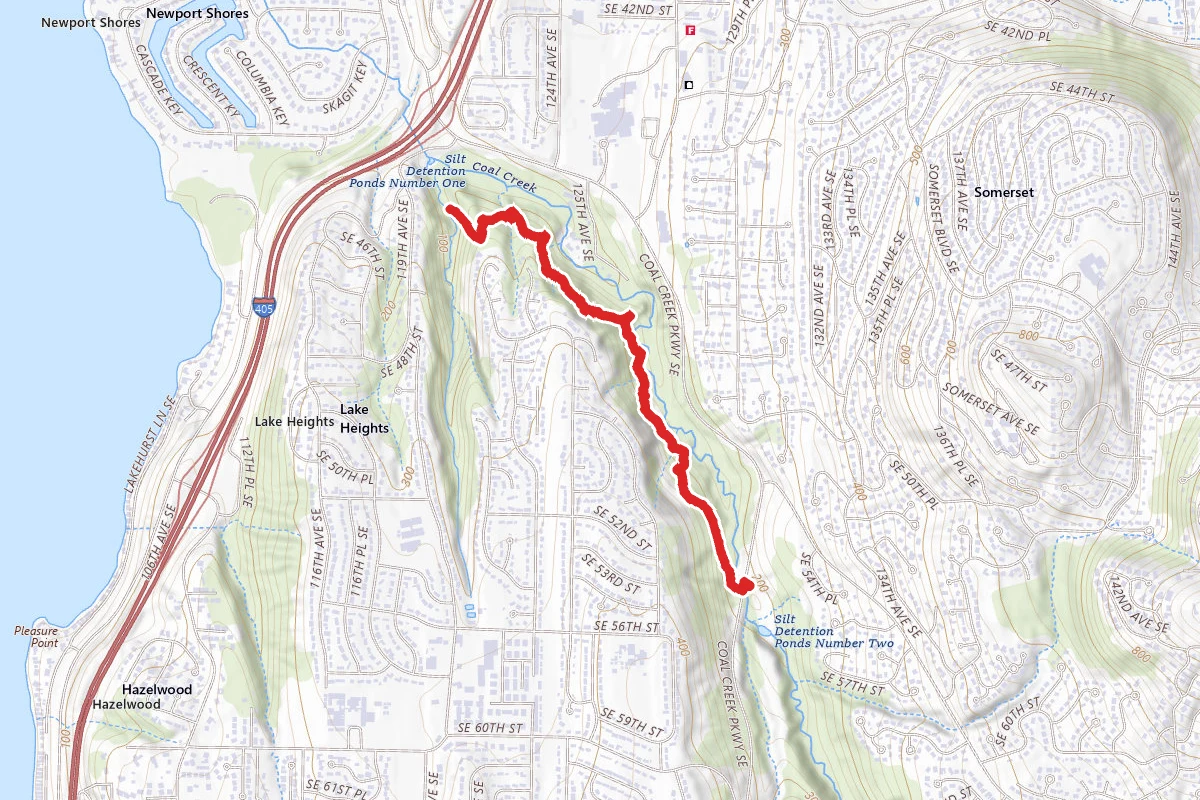
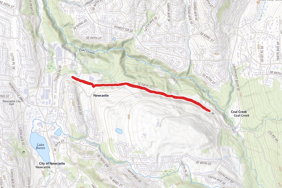
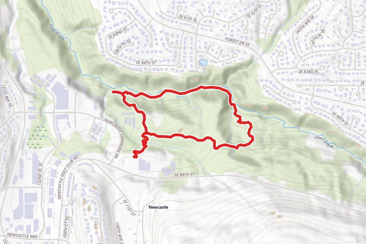
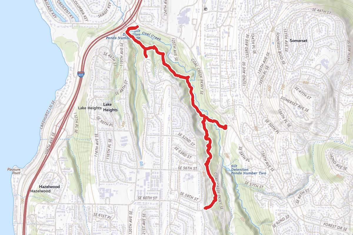
Lower Coal Creek Trail route map
ModerateOut and Back

Lower Coal Creek Trail

Bellevue, Washington

4.2 mi

Distance

1,293 ft

Elev. Gain

1h 45m

Est. Time

Out & Back

Route Type

Moderate

Difficulty

About This Trail

Imported description
This trail is an excellent finish to the four trails of Coal Creek Park. This trail offers the best views of Coal Creek and offers more of a challenge. The hills are not terribly steep but there are many and opportunity to rest is few. Starting out from the parking lot on SE 60th you will descend into the forest on a set of wooden stairs. The trail will continue downhill for a bit making for an easy trip down to Coal Creek. On your way down you will come across a few switchbacks that will help ease this down hill portion. Shortly, you will come to an opening in the forest, as you pass through you will hear the hum of the power lines above. Moving back into the forest you will be close to reaching Coal Creek. There are a few downed trees on this section of the trail, careful when jumping over as the trail begins to get muddy. You should now begin to hear the sound of Coal Creek. You will catch a quick glimpse of the creek as you come to a fork in the trail. Taking the fork to the right is a large bridge that crosses over the creek. Continue up the trail and it will lead you out onto Coal Creek Parkway. It is a busy road that will lead you to no other trails. Moving North on the trail you will see a sign explaining that improvements are being made to the trail ahead. The trail will narrow and is less maintained, if it is wet out and you do not have a pair of shoes with good grip, you may want to turn back. At first the trail is muddier and along the way you will come across several bridges. Most of the bridges are at some stage of repair or replacement; see my photos to check out the bridge conditions and warnings. One short bridge in particular is about ready to collapse, lucky it is easy to walk around if careful. Nearing the end of the trail you will again reach a few switchbacks, this area is extremely slick. Crossing another newly constructed bridge, you will come to another fork in the trail. Follow the signs, just .2 miles to the end where you will be rewarded with a great view of Coal Creek. Here you will see the two sections of the creek join into a small pond that disappears into a concrete storm drain.

Trail Conditions

Trail Conditions

Unknown

We have no current condition data for this trail. Check with the operator before you go, and submit a report below if you've been recently.

No recent condition reports. Be the first to share what you see on the trail.

Elevation Profile

Min:22 ft
Max:135 ft
394 ft
394 ft
22 ft60 ft97 ft135 ft0.0 mi1.0 mi2.1 mi3.1 mi4.2 mi

Trail Details

Route Type
Out & Back
Surface
Dirt

Official sources & verification

We don't have curated agency sources for this trail in our cache yet. Outdoors is not the permitting authority — confirm conditions, permits, and access with the managing agency before you go. If you know who manages this trail, please tell us.

Reviews

No reviews yet

Be the first to share your experience and help others plan their visit.

Legacy import — verify before navigating

Path geometry came from our pre-launch legacy database. Routes have not yet been re-verified against the operator and may differ from the actual trail.

Hunt context

This trail crosses hunting unit

During hunting seasons, wear blaze orange and check regulations — see the Washington hunting page

Spot an error in our data on Lower Coal Creek Trail?