Status unknown — verify before visiting

We don't have current condition data for this trail. Check with the land manager before you go.

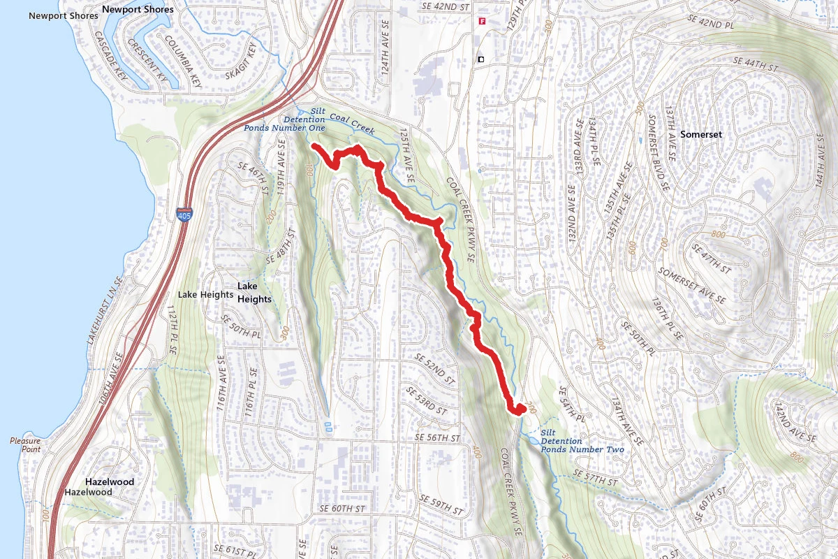
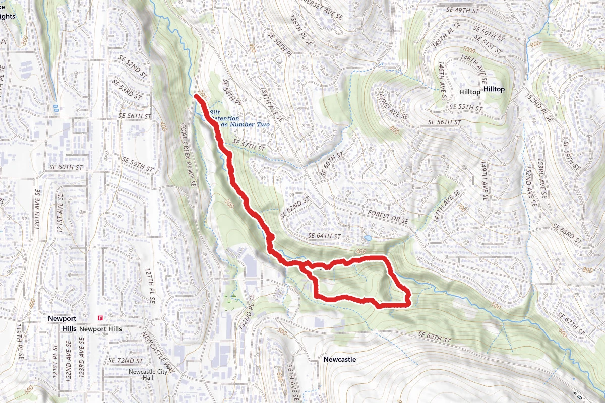
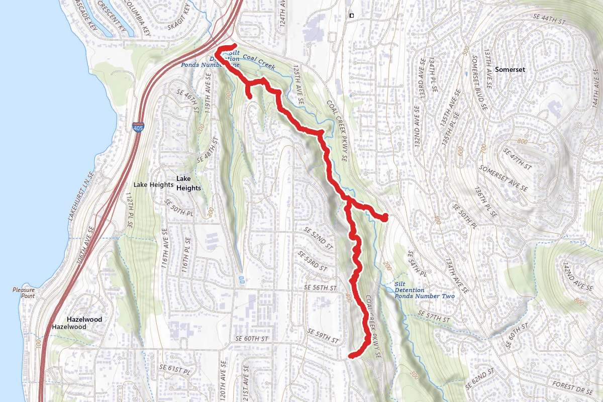
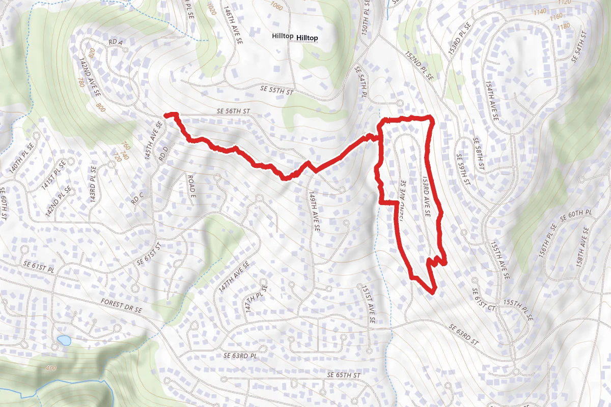
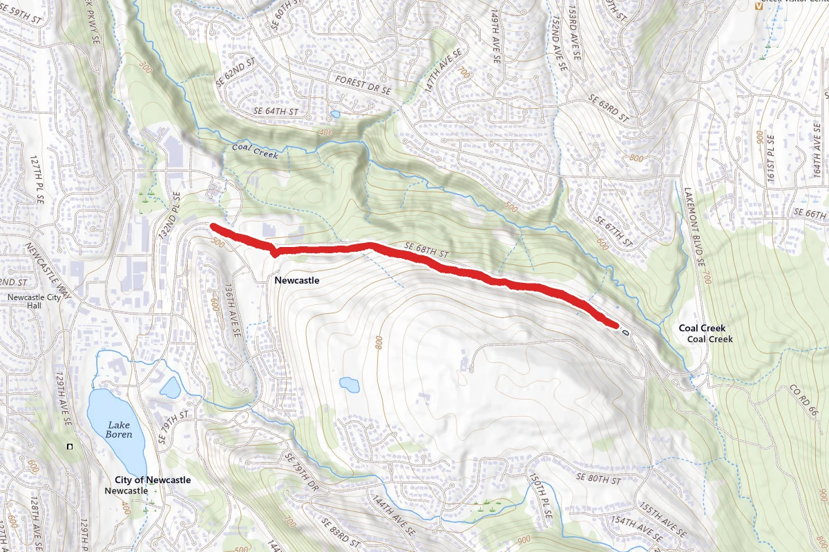
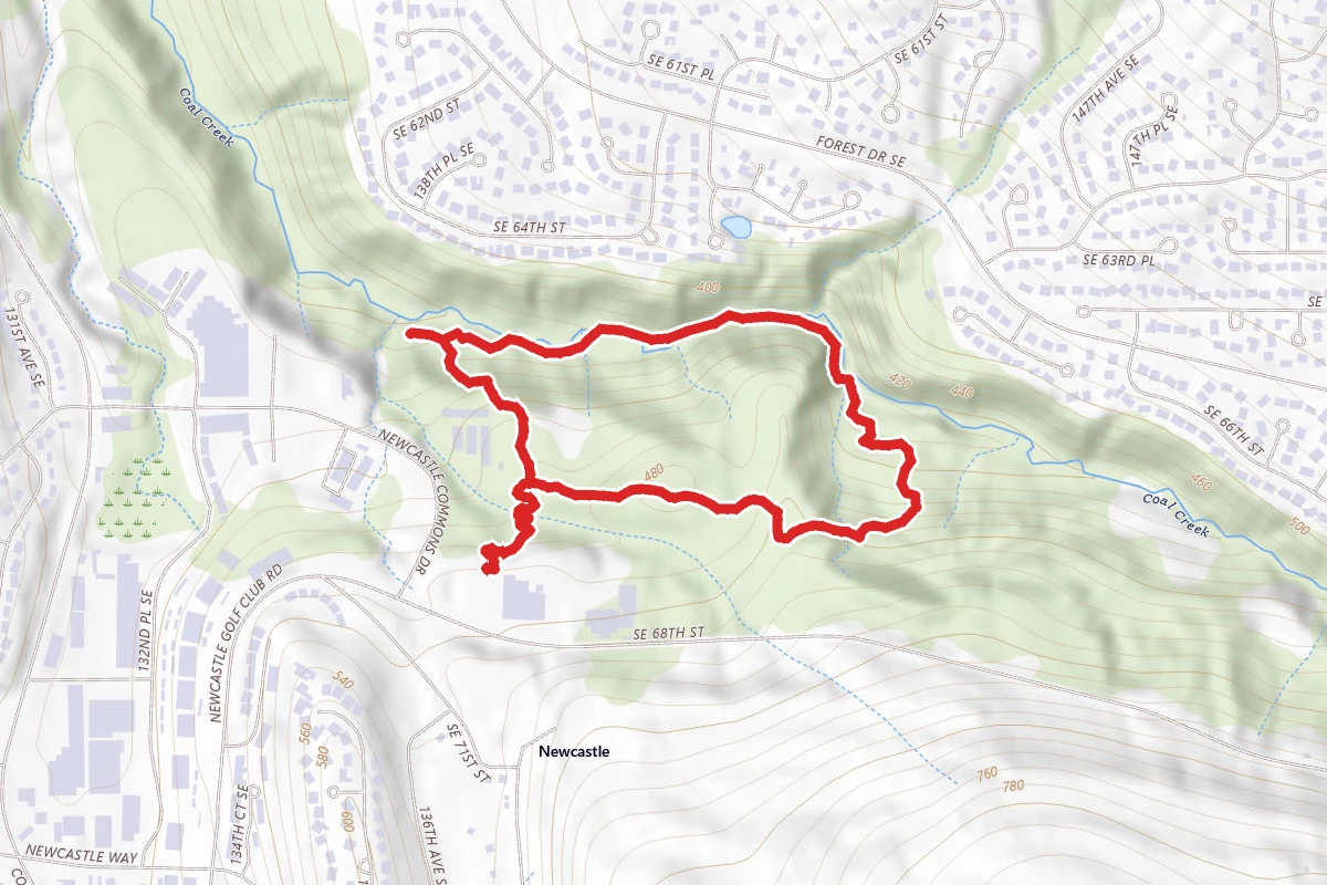
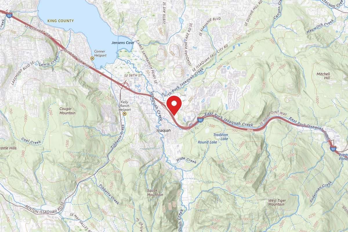
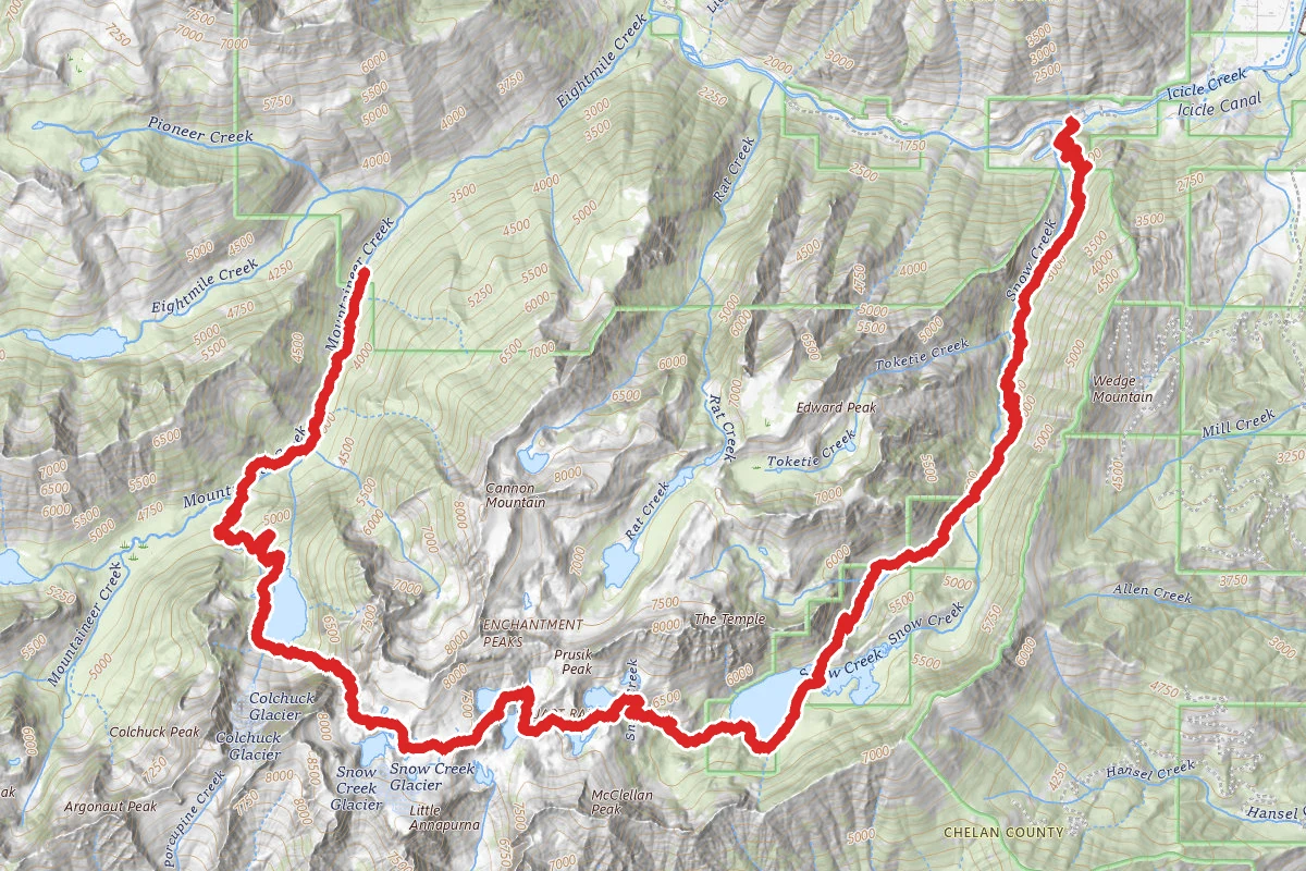
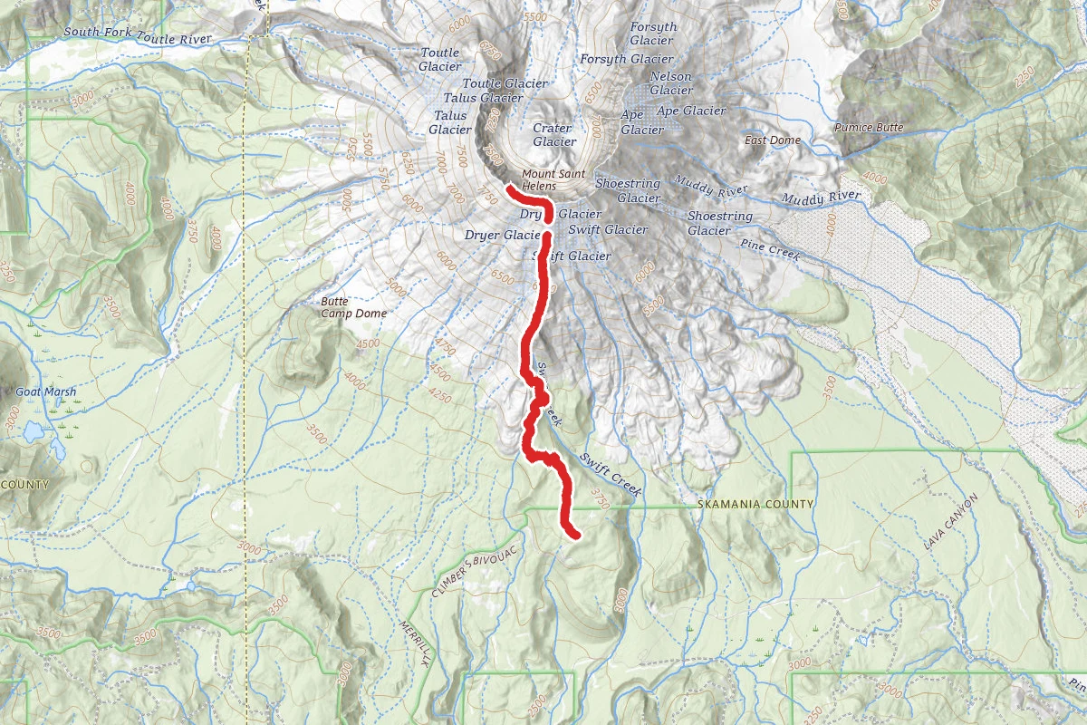
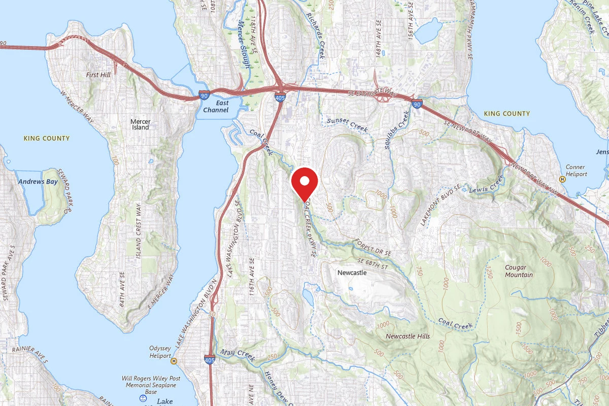
Coal Creek Trail route map
ModerateOut and Back

Coal Creek Trail

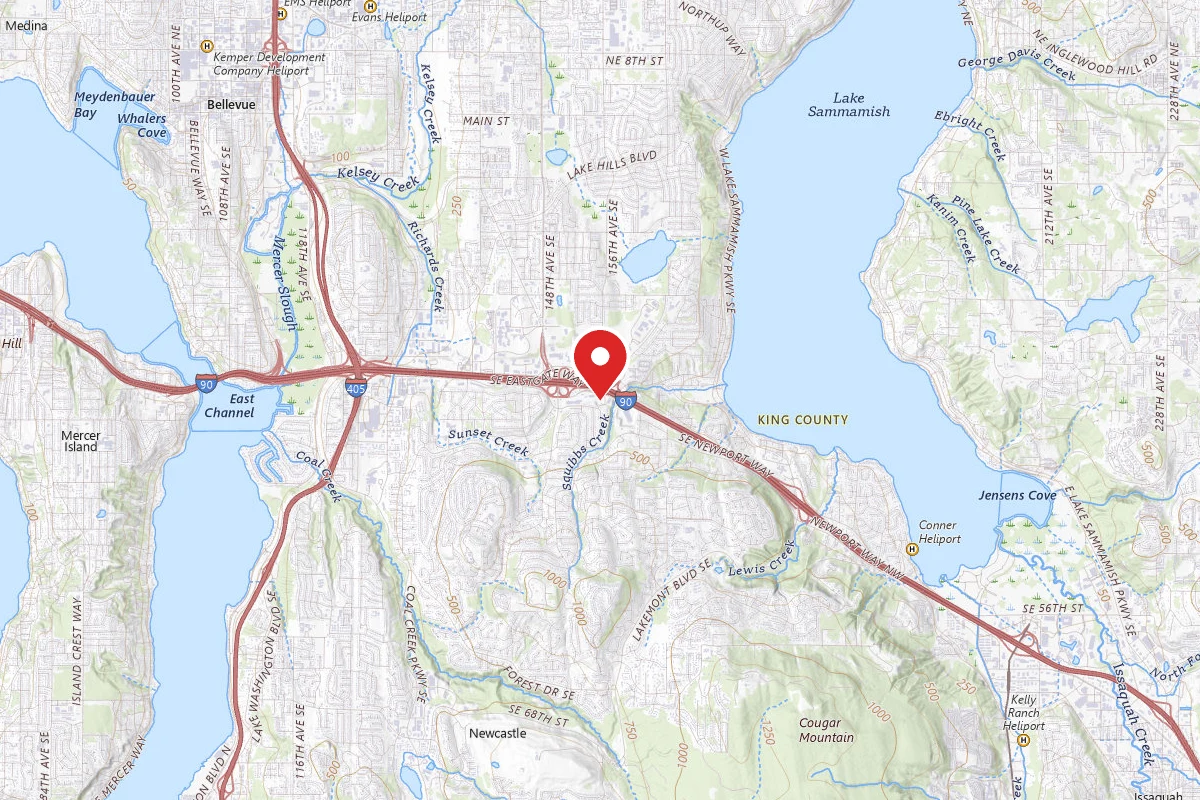
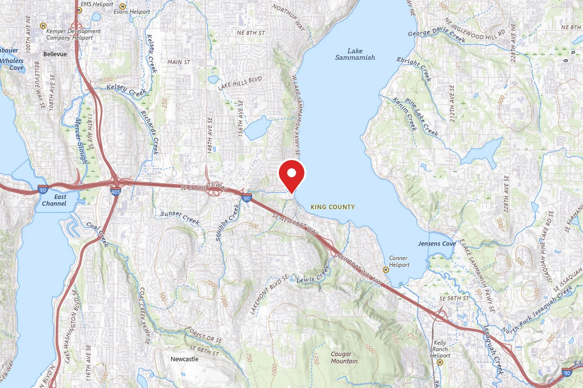
Renton, Washington

1h 59m

Est. Time

Out & Back

Route Type

Moderate

Difficulty

About This Trail

Imported description
Please consult the park's website before visiting. A short hike through the woods while exploring the area's coal mining history. This is an easy hike that will lead you through a historical coal mining region. While the towns are gone you will still be able to view some artifacts from the past. Along the way you will see a coal mine shaft and an information kiosk where you can learn more about its history. There are also a few railroad cart turntables but they are difficult to spot as their concrete foundations are all that is left and the forest has now grown over them. During your hike you will also catch the smell of coal and burnt cinders from time to time. Most of the trail is packed dirt but there are a few hills that can be slippery especially after it rains. If you start your journey from the Red Town parking lot, you will quickly come across an old coal mine shaft. It has been sealed but when standing next to it you can still smell the coal from below. Next to the mine is an information kiosk that will provide you with a little history of the area. It is interesting to read about the towns that were here and try to imagine what life would have been like while traversing the trail of today. On the kiosk you will see a few photos of the miners and their mining village. A little further down you will come to the North Fork Falls along with a few benches to sit and enjoy the waterfall. The falls are not large and it is best to visit them after a few days of heavy rain. From here you will walk through the forest and onto a short section of the trail composed of gravel. The trail is mostly a gentle down hill hike where you will make a few stream crossings on the newly renovated bridges. Soon you will find yourself in a clearing with many black berry bushes, watch out for the thorns as the trail is overgrown at times. Once you make your way back into the shaded forest the trail begins its steep decline. At first you will be hiking down a small ridge but it will begin getting steeper and muddier from here. For this next section you may need to take advantage of the trees and their roots to guide yourself down, especially if the trail is wet. Once at the bottom the trail will level out and you will come to the last two bridges. Once you cross the first bridge you will come to the Forest Drive trailhead. Continue straight to cross another bridge and a short distance later you will see a small retention pond along with the fish ladders at the end of the trail. At a distance of 2.8 miles, 5.6 miles out and back, this hike will provide you and your family with a great short outing along with some history. However if you are looking for a longer hike there are 2 connecting trails, Primrose Trail (.8 miles) and the Forest Drive Trail (about 4 miles out and back depending on route), which can make this a full day hike.

Trail Conditions

Trail Conditions

Unknown

We have no current condition data for this trail. Check with the operator before you go, and submit a report below if you've been recently.

No recent condition reports. Be the first to share what you see on the trail.

Trail Details

Route Type
Out & Back
Surface
Dirt

Official sources & verification

We don't have curated agency sources for this trail in our cache yet. Outdoors is not the permitting authority — confirm conditions, permits, and access with the managing agency before you go. If you know who manages this trail, please tell us.

Reviews

No reviews yet

Be the first to share your experience and help others plan their visit.

Hunt context

This trail crosses hunting unit

During hunting seasons, wear blaze orange and check regulations — see the Washington hunting page

Spot an error in our data on Coal Creek Trail?