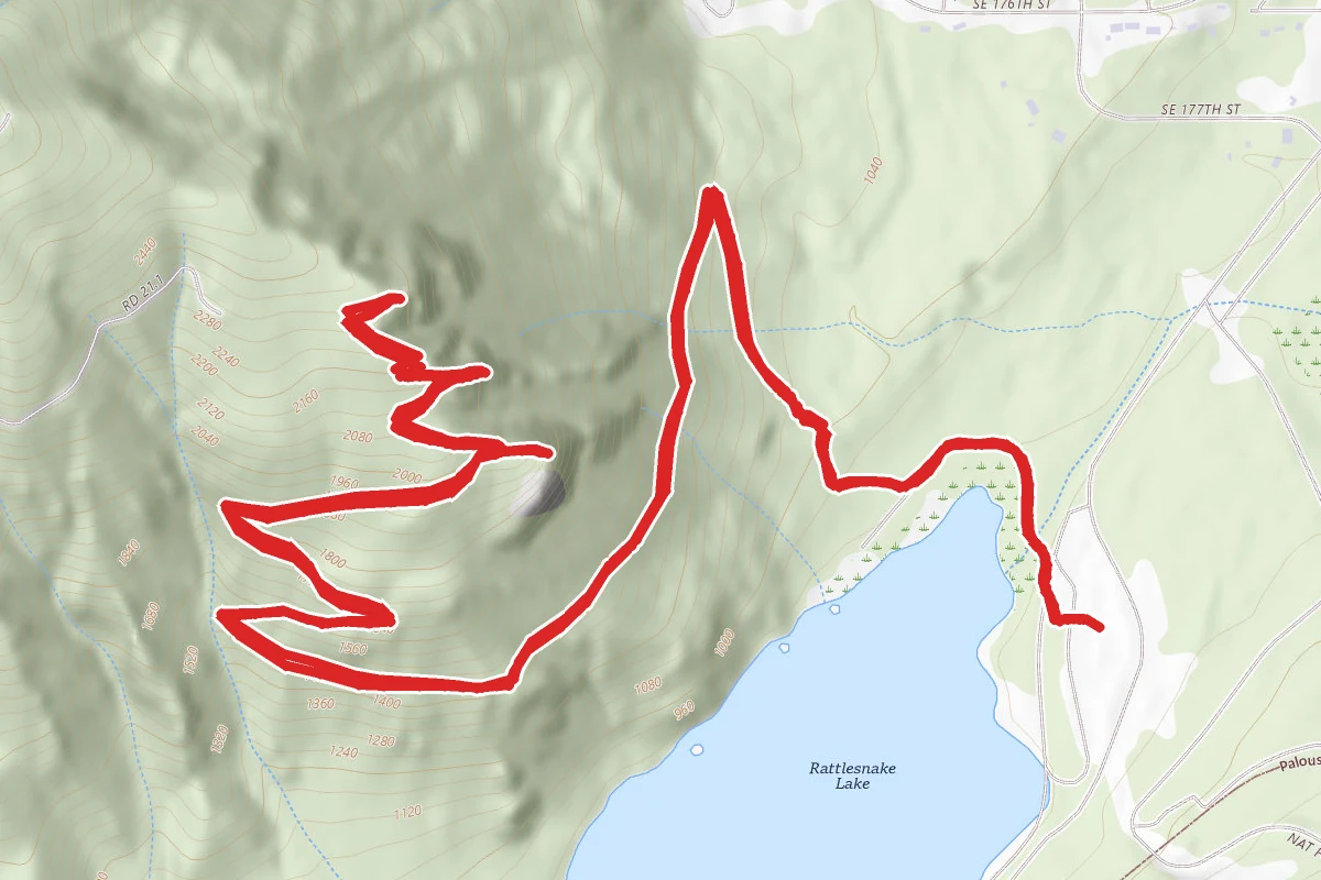
5.1 mi
Distance
1,470 ft
Elev. Gain
2h 26m
Est. Time
Out & Back
Route Type
Moderate
Difficulty
About This Trail
Rattlesnake Ledge Trail is an out-and-back trail in King County, Washington. It is 5.1 miles long and gains 1,470 feet. It is in or next to Wilderness Rim, Washington.
From the trail data on this page. For conditions and closures, see official sources.
Trail Conditions
Trail Conditions
We have no current condition data for this trail. Check with the operator before you go, and submit a report below if you've been recently.
No recent condition reports. Be the first to share what you see on the trail.
Elevation Profile
| Point | Distance from start | Elevation |
|---|---|---|
| Start | 0.0 mi | 286 ft |
| High point | 2.7 mi | 715 ft |
| End | 5.1 mi | 286 ft |
Trail Details
- Route Type
- Out & Back
Official sources & verification
Reserve or permit
- Apply for permit
Required permit application for this trail. Many systems run seasonal lotteries or fixed application windows — confirm current dates here.
Source of truth
- Agency source page
The page our published rules and notes are derived from.
Where it is
- Nearest town:
- Wilderness Rim, WA · in or next to town
- County:
- King County, WA
Nearest town and county from U.S. Census Bureau place records and county boundaries.
Highlights
Reviews
No reviews yet
Be the first to share your experience and help others plan their visit.
Legacy import — verify before navigating
Path geometry came from our pre-launch legacy database. Routes have not yet been re-verified against the operator and may differ from the actual trail.
Nearby Trails
More trails near Rattlesnake Ledge Trail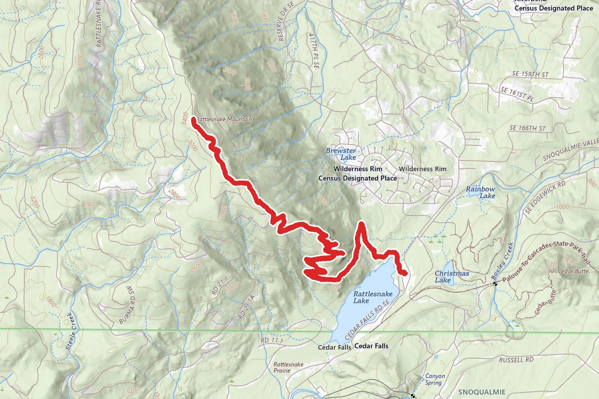
Rattlesnake Ledges to East Peak
0.0 mi away
Rattlesnake Ledge alternative entry
0.3 mi away
Palouse to Cascades State Park Trail
0.4 mi away
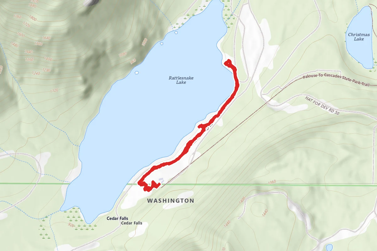
Rattlesnake Lake Trail
0.6 mi away
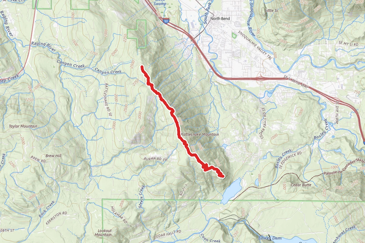
Rattlesnake Mountain Trail
0.6 mi away
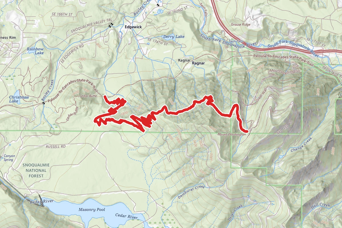
Olallie Trail
1.6 mi away
Stay nearby
Campgrounds near this trail
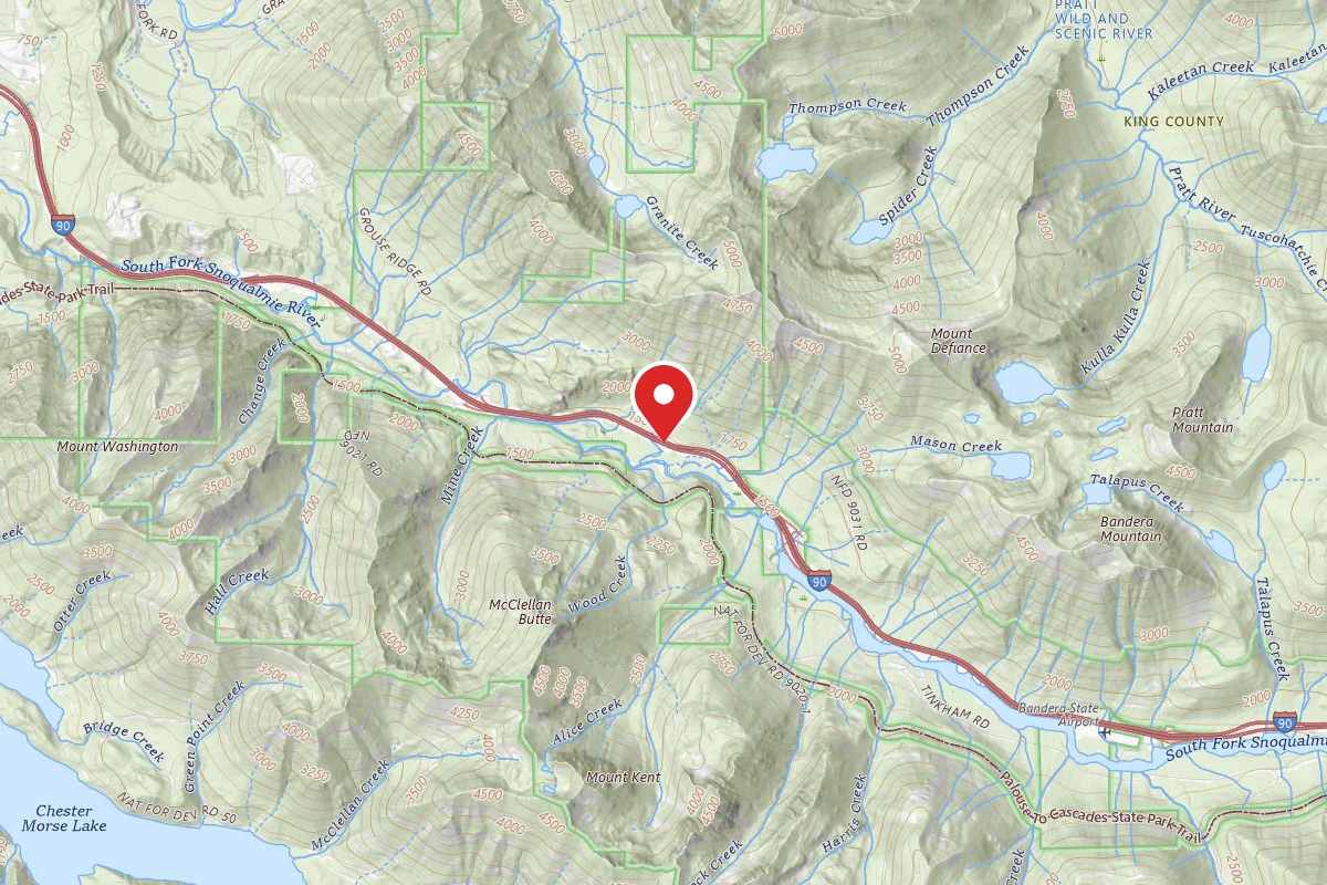
Interstate 90 Mountains To Sound Greenway
7.6 mi awaySnoqualmie National Forest
North Bend, WA
Pricing varies — check with the operator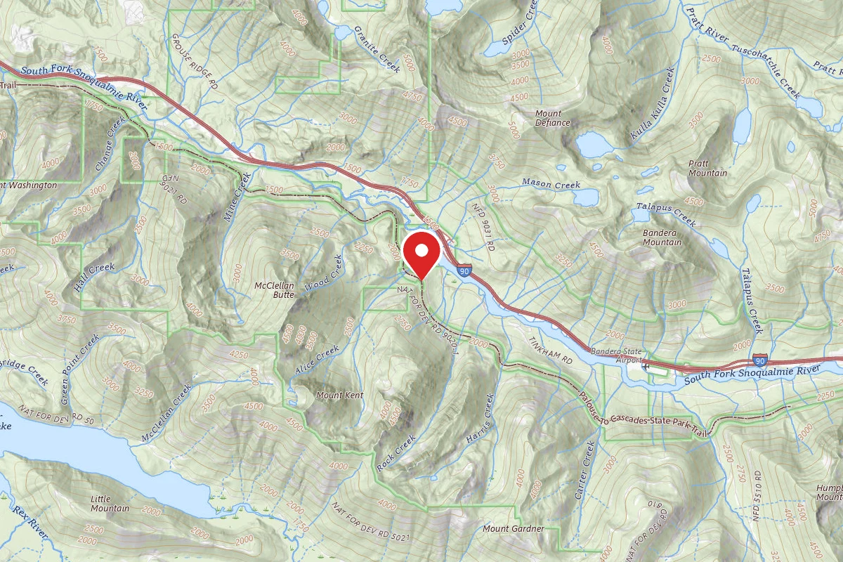
Alice Creek Campsite
8.4 mi awaySnoqualmie National Forest
North Bend, WA
Dispersed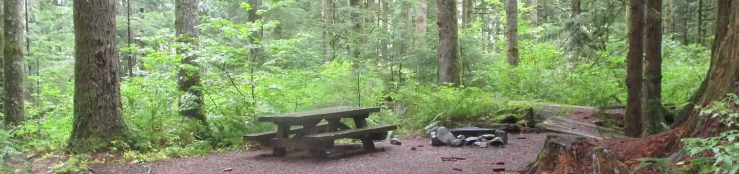
Tinkham Campground
9.6 mi awaySnoqualmie National Forest
North Bend, WA
Check official pricing92 sitesReservable TentRV Well reviewed Good Coverage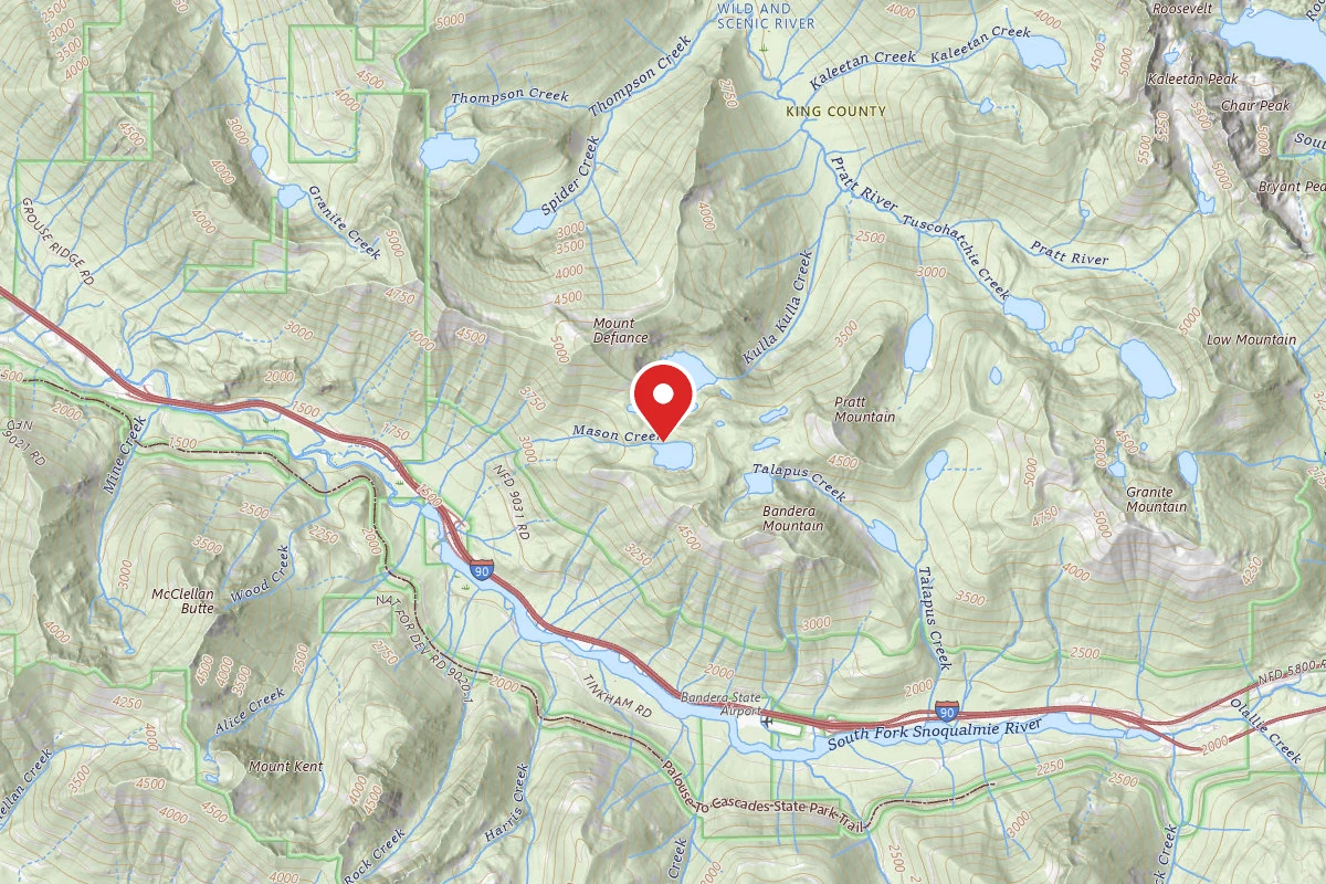
Mason Lake Backcountry Camping
10.1 mi awaySnoqualmie National Forest
Dispersed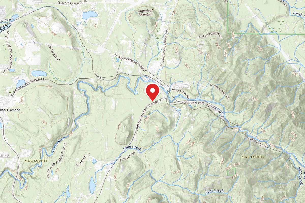
Kanaskat-Palmer State Park
10.4 mi awayKanaskat-Palmer State Park
Ravensdale, WA
Reservable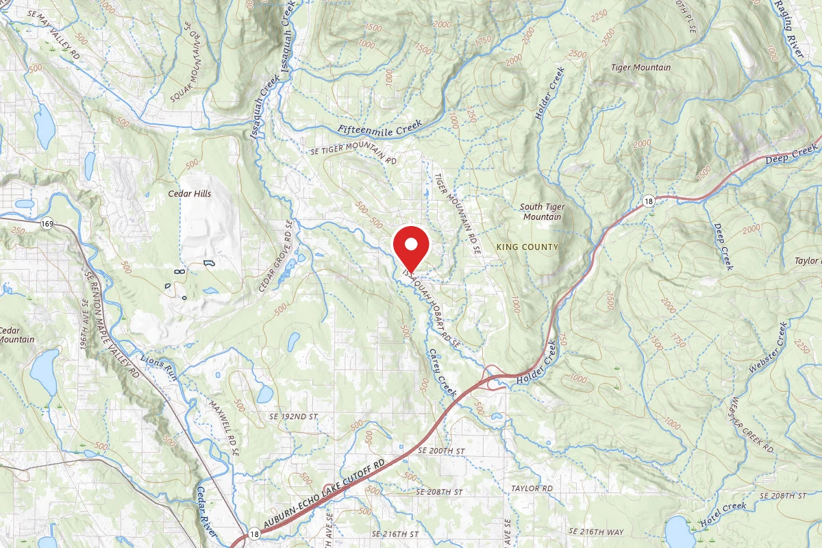
Similar length
Similar trails in Washington
Skyline Trail Loop
Washington
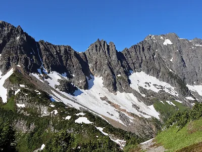
Cascade Pass Trail
Washington
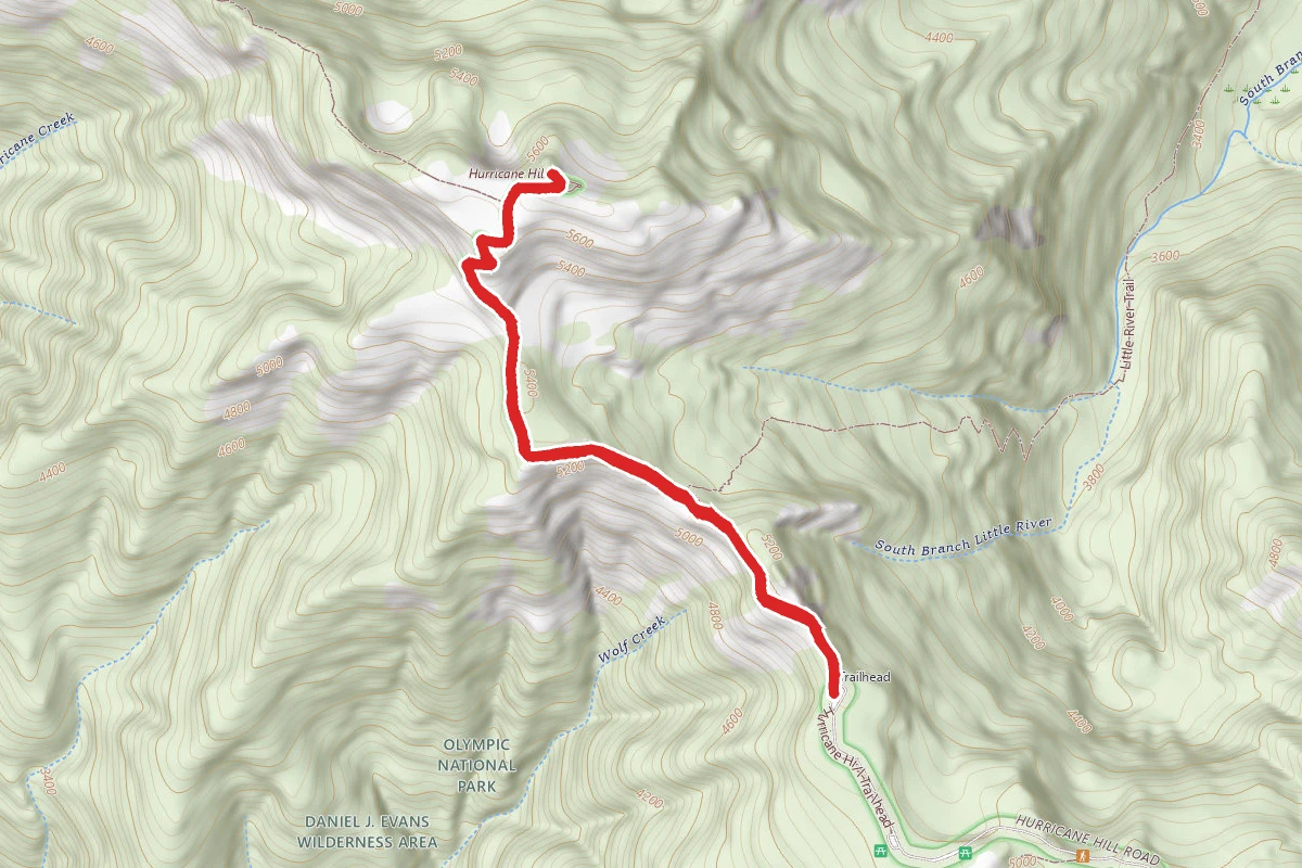
Hurricane Hill via Hurricane Ridge
Washington
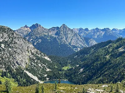
Maple Pass Loop
Washington
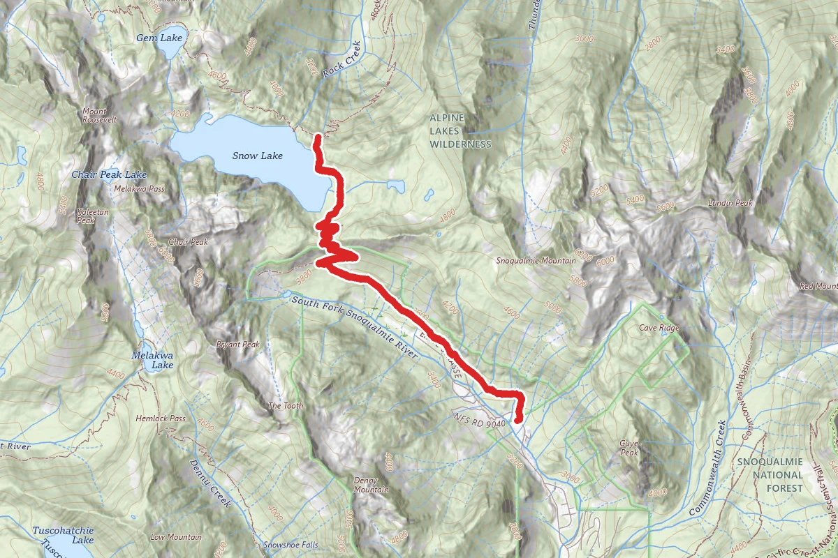
Snow Lake Trail
Washington
Dog Mountain Trail
Washington