Difficult
Little River and Goshen Prong Trail [CLOSED]
Gatlinburg, Tennessee
13.5 mi
Distance
5,105 ft
Elev. Gain
6h 44m
Est. Time
0.0
0 Reviews
About This Trail
The trail has been temporarily closed due to COVID-19. The park's website has up to date information.
Trail Details
Point to Point
Route Type
Dirt
Surface
Dogs Allowed (Leash Required)
Dog Policy
Yes
Kid Friendly
No
Permit Required
Elevation Profile
Min:682 ft
Max:1,999 ft
1,556 ft
315 ft
Reviews
No reviews yet
Be the first to share your experience and help others plan their visit.
Trail Conditions
Trail Conditions
Unknown
Updated Unknown
No recent condition reports. Be the first to share what you see on the trail.
Elkmont to Fontana Lake [CLOSED]
65.2 km
Difficult
![Elkmont to Fontana Lake [CLOSED]](https://www.nps.gov/common/uploads/structured_data/3C873CC3-1DD8-B71B-0B076FC2806DF140.jpg?width=800&quality=80)
Elkmont to Fontana Lake [CLOSED]
31.1 km5.0
Difficult
Cucumber Gap and Little River Loop Trail [CLOSED]
9.0 km
Moderate
Jakes Creek and Lynn Camp Prong [CLOSED]
27.0 km
Moderate
Jakes Creek and Lynn Camp Prong [CLOSED]
27.0 km4.0
Moderate
Jakes Creek via Miry Ridge Trail and Appalachian Trail Loop [CLOSED]
40.6 km
Difficult
In this park
Other trails in Great Smoky Mountains National Park
Alum Cave Trail to Mount LeConte
Tennessee
16.9 km1,374 mgain
Difficult
Laurel Falls Trail [CLOSED]
Tennessee
3.9 km285 mgain
Easy
Chimney Tops Trail [CLOSED]
Tennessee
5.8 km502 mgain
Difficult
Rainbow Falls Trail [CLOSED]
Tennessee
8.9 km730 mgain
Difficult
Grotto Falls Trail [CLOSED]
Tennessee
4.2 km336 mgain
Moderate
Abrams Falls Trail [CLOSED]
Tennessee
7.9 km378 mgain
Moderate
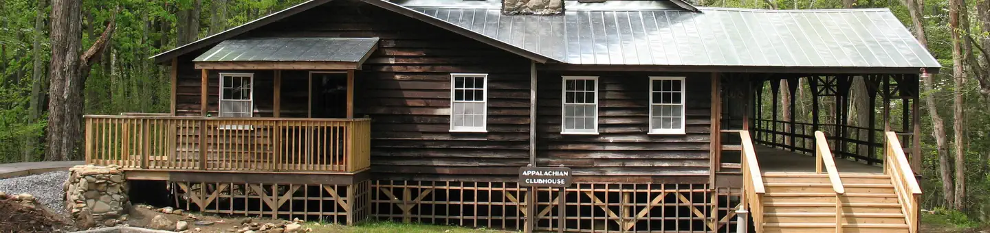
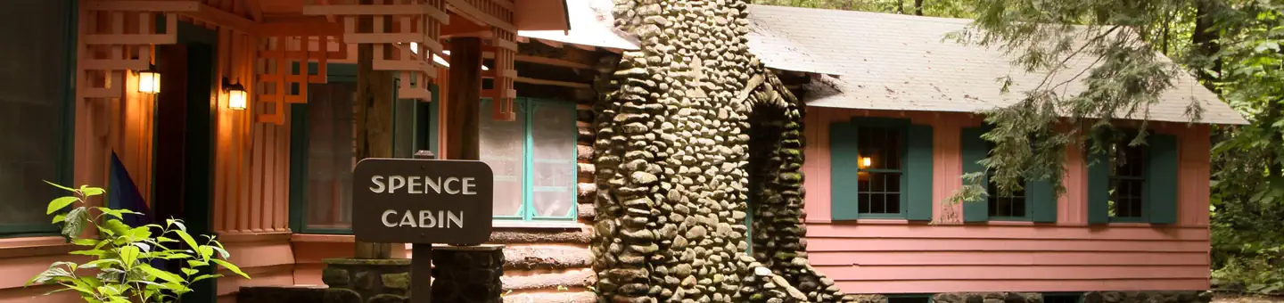
Stay nearby
Campgrounds near this trail
Similar length
Similar trails in Tennessee
Alum Cave Trail to Mount LeConte
Tennessee
16.9 km1,374 mgain
Difficult
Virgin Falls Trail
Tennessee
13.4 km524 mgain
Difficult
Ramsey Cascades Trail [CLOSED]
Tennessee
13.0 km878 mgain
Difficult
Mount Cammerer via Low Gap Trail [CLOSED]
Tennessee
19.2 km1,610 mgain
Difficult
Indian Flat Falls via Middle Prong Trail [CLOSED]
Tennessee
12.7 km435 mgain
Moderate
Laurel Falls and Cove Mountain [CLOSED]
Tennessee
12.4 km807 mgain
Moderate