Moderate
Jakes Creek and Lynn Camp Prong [CLOSED]
Gatlinburg, Tennessee
16.8 mi
Distance
4,718 ft
Elev. Gain
7h 34m
Est. Time
0.0
0 Reviews
About This Trail
The trail starts near the old cabins of the Jakes Creek. The railroads gave the Little River co. its railway grade in the early 1900s. At the intersection of Cucumber Gap Trail and the Pimm Mtn Trail you should go the left or the right. You will have a tricky creek crossing with recent rains coming from here. Several more stream crossing are not rock-giasing. There is a campsite which is small but level at 2.6 miles away from you. The trail ENDS at Jakes Gap and joins Miry Ridge and Panther Creek Trail.
Trail Details
Out & Back
Route Type
Dirt
Surface
Dogs Allowed (Leash Required)
Dog Policy
Yes
Kid Friendly
No
Permit Required
Elevation Profile
Min:686 ft
Max:1,443 ft
1,438 ft
1,438 ft
Reviews
No reviews yet
Be the first to share your experience and help others plan their visit.
Trail Conditions
Trail Conditions
Unknown
Updated Unknown
No recent condition reports. Be the first to share what you see on the trail.
![Jakes Creek and Lynn Camp Prong [CLOSED]](https://www.nps.gov/common/uploads/structured_data/3C873CC3-1DD8-B71B-0B076FC2806DF140.jpg?width=800&quality=80)
Jakes Creek and Lynn Camp Prong [CLOSED]
27.0 km4.0
Moderate
Jakes Creek via Miry Ridge Trail and Appalachian Trail Loop [CLOSED]
40.6 km
Difficult
Jakes Creek via Miry Ridge Trail and Appalachian Trail Loop [CLOSED]
31.1 km5.0
Difficult
Meigs Mountain Trail [CLOSED]
14.8 km
Moderate
Cucumber Gap and Little River Loop Trail [CLOSED]
9.0 km
Moderate
Elkmont to Fontana Lake [CLOSED]
65.2 km
Difficult
In this park
Other trails in Great Smoky Mountains National Park
Alum Cave Trail to Mount LeConte
Tennessee
16.9 km1,374 mgain
Difficult
Laurel Falls Trail [CLOSED]
Tennessee
3.9 km285 mgain
Easy
Chimney Tops Trail [CLOSED]
Tennessee
5.8 km502 mgain
Difficult
Rainbow Falls Trail [CLOSED]
Tennessee
8.9 km730 mgain
Difficult
Grotto Falls Trail [CLOSED]
Tennessee
4.2 km336 mgain
Moderate
Abrams Falls Trail [CLOSED]
Tennessee
7.9 km378 mgain
Moderate
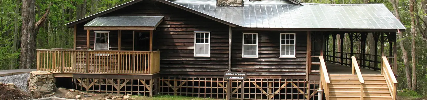
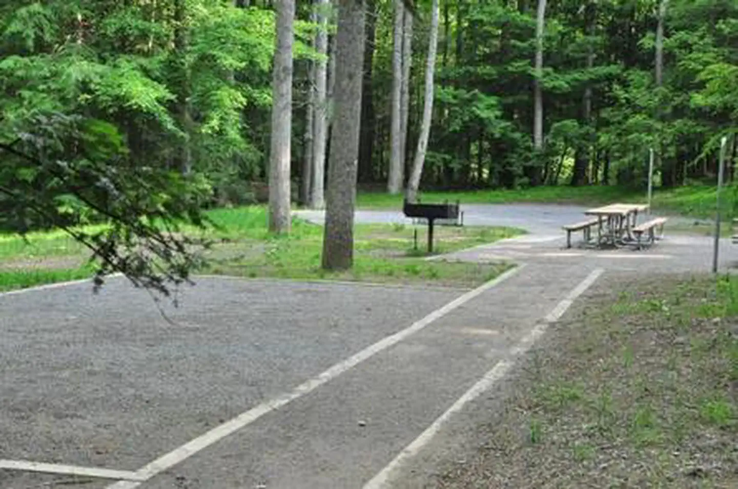
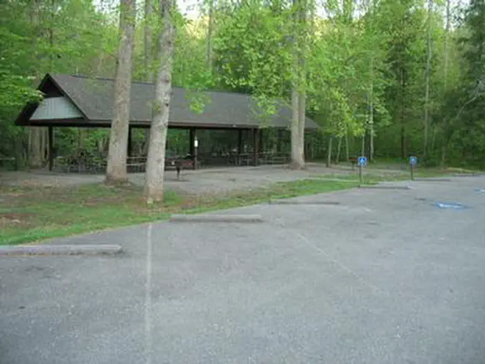
Stay nearby
Campgrounds near this trail

Similar length
Similar trails in Tennessee
Alum Cave Trail to Mount LeConte
Tennessee
16.9 km1,374 mgain
Difficult
Mount Cammerer via Low Gap Trail [CLOSED]
Tennessee
19.2 km1,610 mgain
Difficult
Appalachian Trail to Icewater Spring Shelter [CLOSED]
Tennessee
19.8 km1,185 mgain
Moderate
Myrtle Point and Mount LeConte via Alum Cave Trail [CLOSED]
Tennessee
18.5 km1,501 mgain
Difficult
Big Creek Gulf, Big Creek Rim, and Stone Door Trails Loop
Tennessee
14.0 km729 mgain
Difficult
Bearwaller Gap Hiking Trail
Tennessee
17.4 km911 mgain
Difficult