


No alerts in our cache for this unit.
Alerts can change quickly. For real-time conditions, advisories, and closures, check the NPS alerts feed before you go.
1934
Established
522K
Acres
7
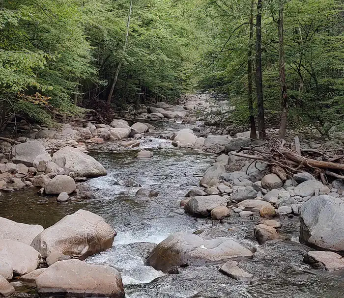
Trails
47
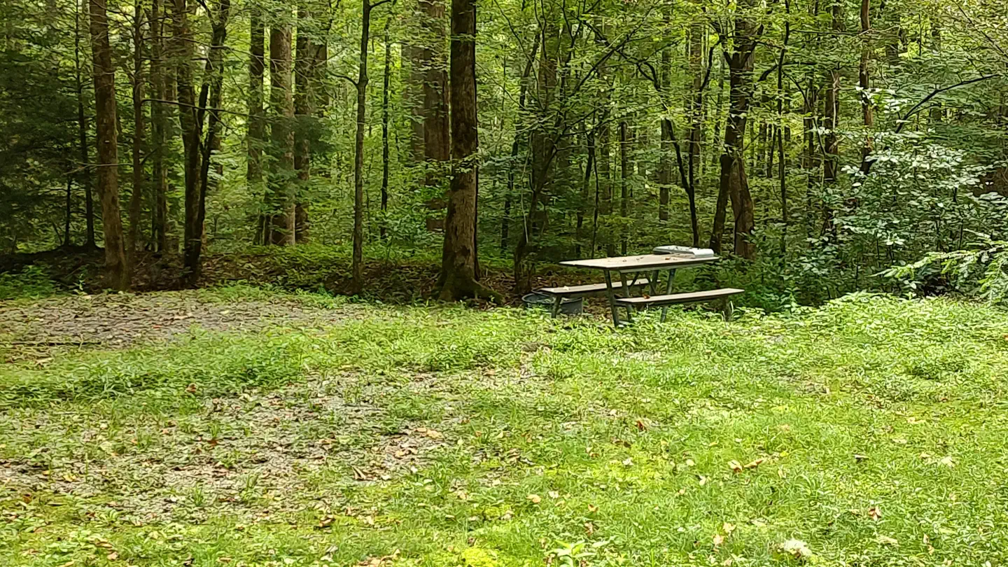
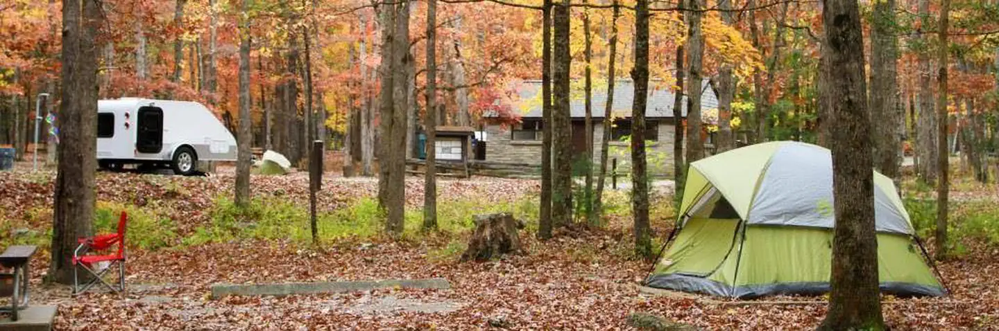
Campgrounds
Official sources & verification
Managed by National Park Service
Source of truth
- National Park Service unit page
NPS-published hours, fees, alerts, and current closures for this unit.
- NPS current conditions & alerts
Current alerts, advisories, and temporary closures published by the NPS unit.
Verify by phone or mail
- Operator:865-436-1200
- Address:107 Park Headquarters Road · Gatlinburg, TN · 37738
About
Source: Wikipedia — text licensed CC BY-SA 4.0. Verify alerts and operational details with the managing agency below.
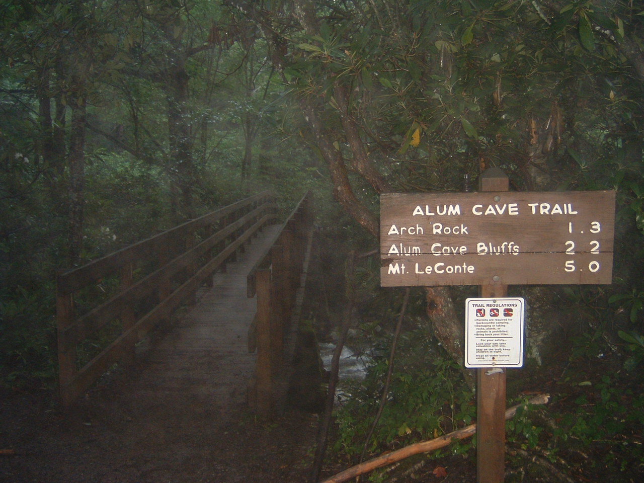
Alum Cave Trail
Alum Cave Trail to Mount LeConte
Cataract Falls
East Lamar Alexander Parkway Trail
Gatlinburg Trail

Rainbow Falls Trail
Rich Mountain OHV Trail
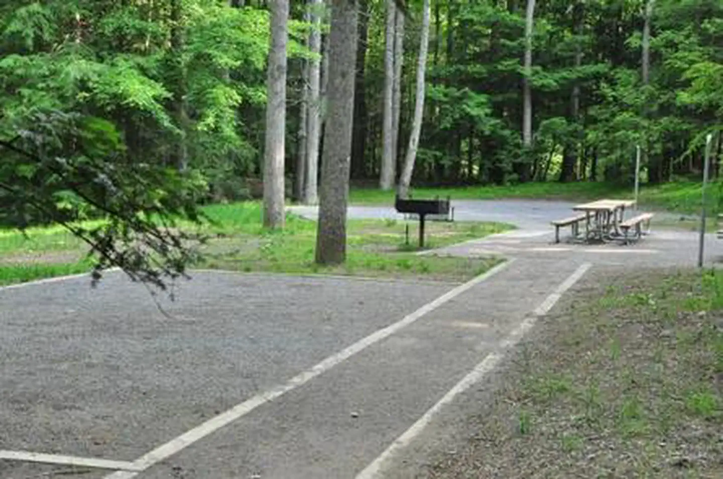
Elkmont Campground
#39 Pretty Hollow
Abram's Creek Campground

Anthony Creek Horse Camp
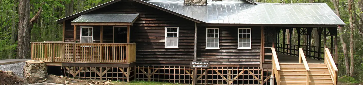
Appalachian Clubhouse

Balsam Mountain Campground
Big Creek Group Camp
Big Creek Horse Camp
Big Meadow Family Campground

Cades Cove Campground
Cades Cove Campground - Great Smoky Mountains National Park
Cades Cove Group
Reviews
No reviews yet
Be the first to share your experience and help others plan their visit.
Hunting in this park
Hunting is generally prohibited in this National Park Service unit
Verify current park-specific rules with the National Park Service before planning any hunt. See NPS regulations
Within ~100 miles
Parks near Great Smoky Mountains National Park
Nantahala National Forest
North Carolina
Cherokee National Forest
Tennessee

Andrew Johnson National Historic Site
Kentucky
National Forests in North Carolina
South Carolina
Blue Ridge Parkway
North Carolina
Tallulah Gorge State Park
Georgia
Same state
More parks in Tennessee
Allatoona Lake
Tennessee
Barkley Lake
Tennessee
Barren River Lake
Tennessee
Big South Fork National River & Recreation Area
Tennessee
Cheatham Lock and Dam
Tennessee
Chickamauga & Chattanooga National Military Park
Tennessee
Clarks River National Wildlife Refuge
Tennessee
Cordell Hull Lake
Tennessee