Status unknown — verify before visiting
We don't have current condition data for this trail. Check with the land manager before you go.
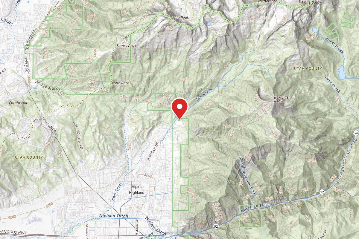
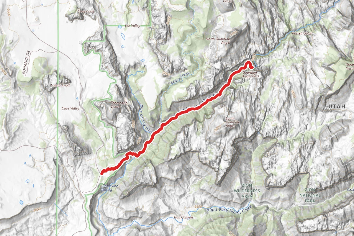
2h 7m
Est. Time
Out & Back
Route Type
Moderate
Difficulty
About This Trail
Imported descriptionTrail Conditions
Trail Conditions
We have no current condition data for this trail. Check with the operator before you go, and submit a report below if you've been recently.
No recent condition reports. Be the first to share what you see on the trail.
Trail Details
- Route Type
- Out & Back
- Surface
- Dirt
Official sources & verification
Managed by United States Forest Service
Managing agency
- United States Forest Service
Find offices, alerts, and current orders for this agency.
Verify by phone or mail
- Address:UT
Reviews
No reviews yet
Be the first to share your experience and help others plan their visit.
Hunt context
This trail crosses hunting units
During hunting seasons, wear blaze orange and check regulations — see the Utah hunting page
Nearby Trails
More trails near Horsetail Falls Trail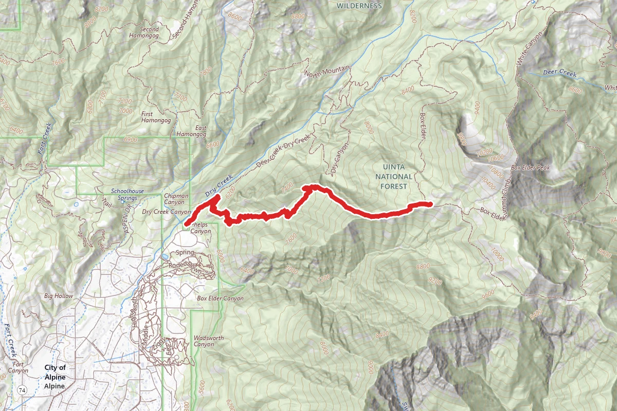
Phelps Canyon Trail
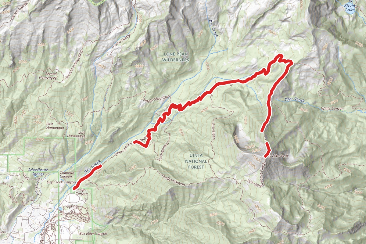
Dry Creek Trail to Box Elder Peak
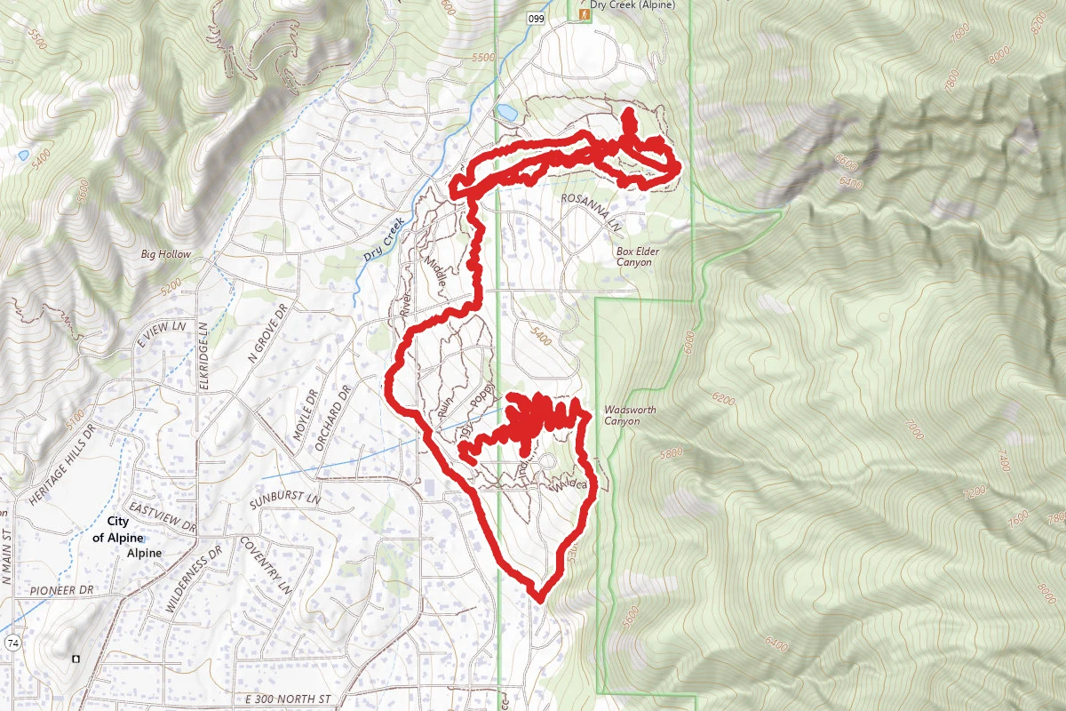
Middle Spring - Rodeo Down - Spring - Lambert's Luge - Highbench - Corkscrew - Zag
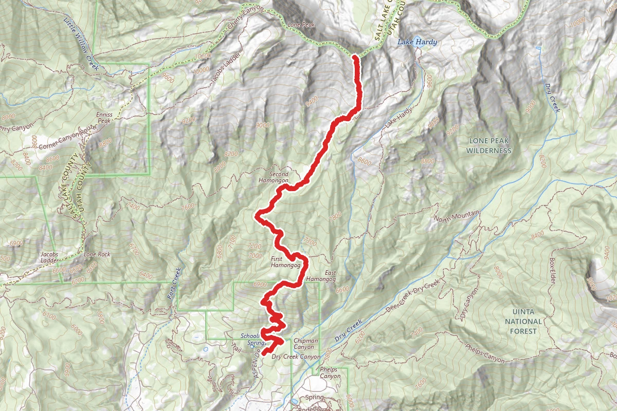
Big Horn Peak via Schoolhouse Springs
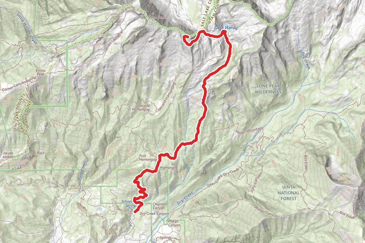
Lake Hardy Trail to Big Horn Peak
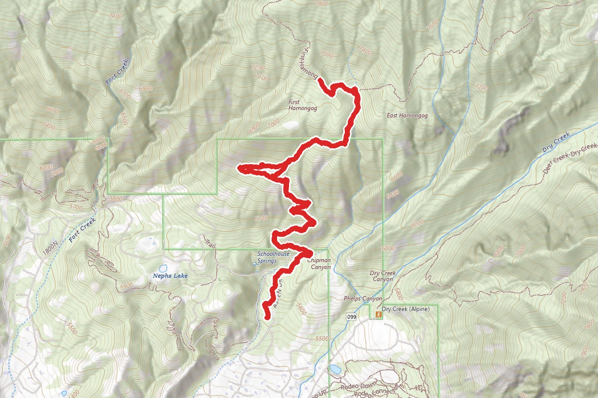
First Hamongog Trail
In this park
Other trails in Uinta National Forest
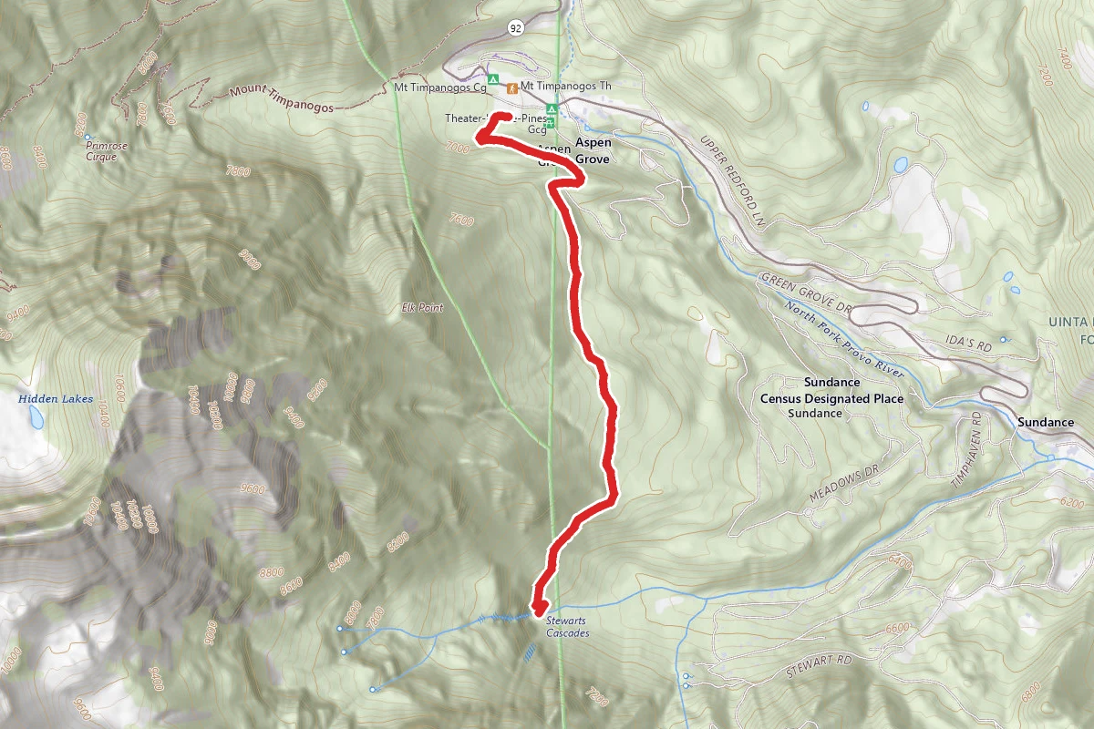
Stewart Falls Trail
Utah
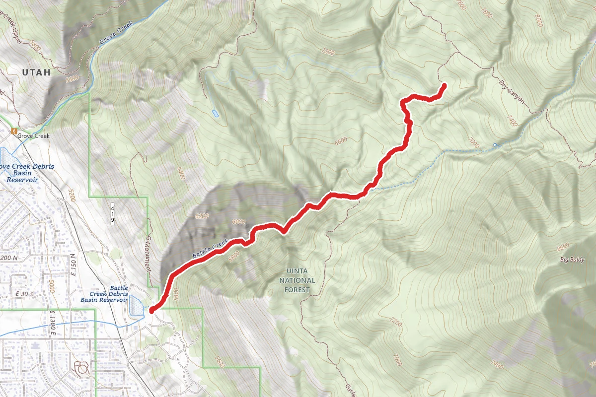
Battle Creek Falls Trail
Utah
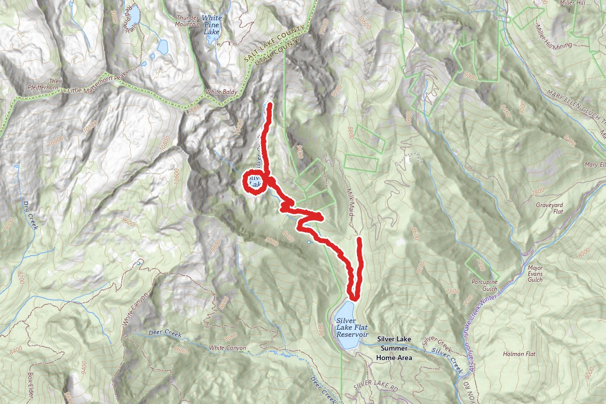
Silver Lake Trail
Utah
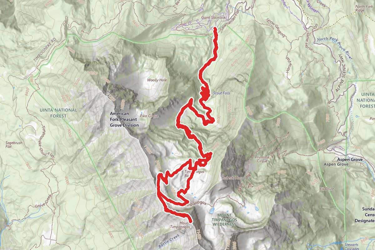
Mount Timpanogos via Timpooneke Trail
Utah
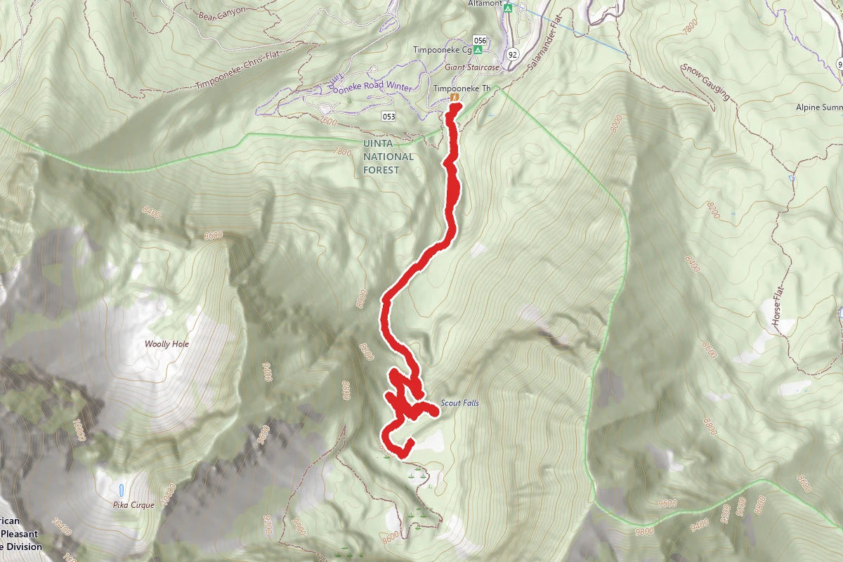
Scout Falls via Mount Timpanogos Trail
Utah
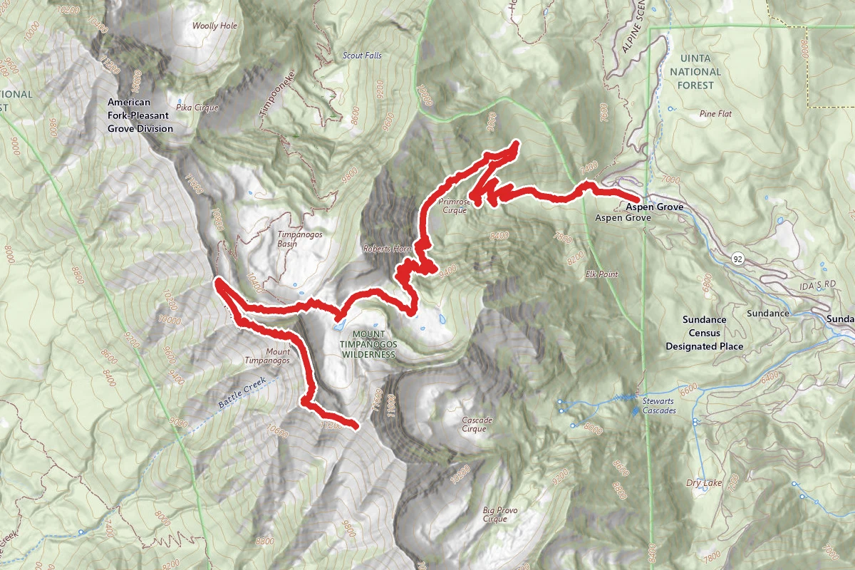
Mount Timpanogos Trail from Aspen Grove
Utah
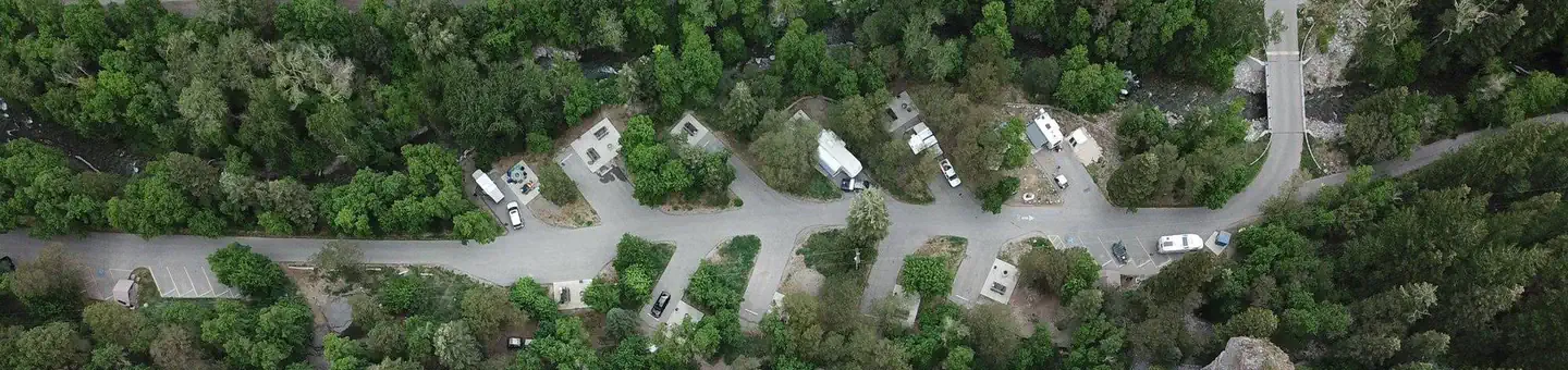
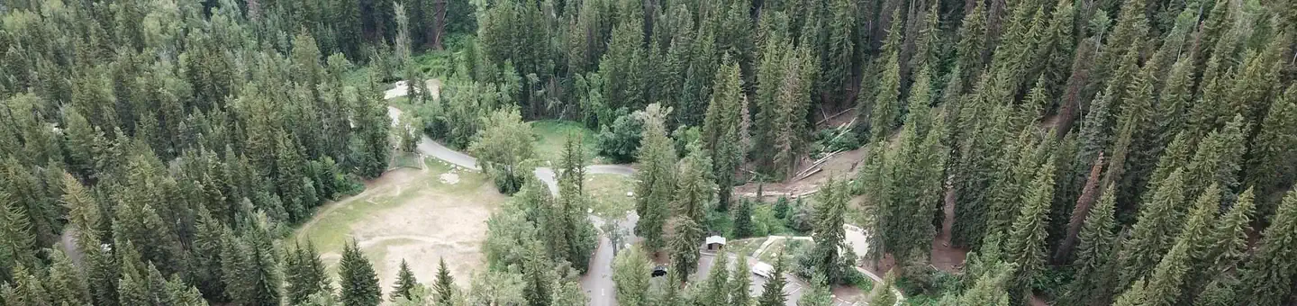
Similar length
Similar trails in Utah
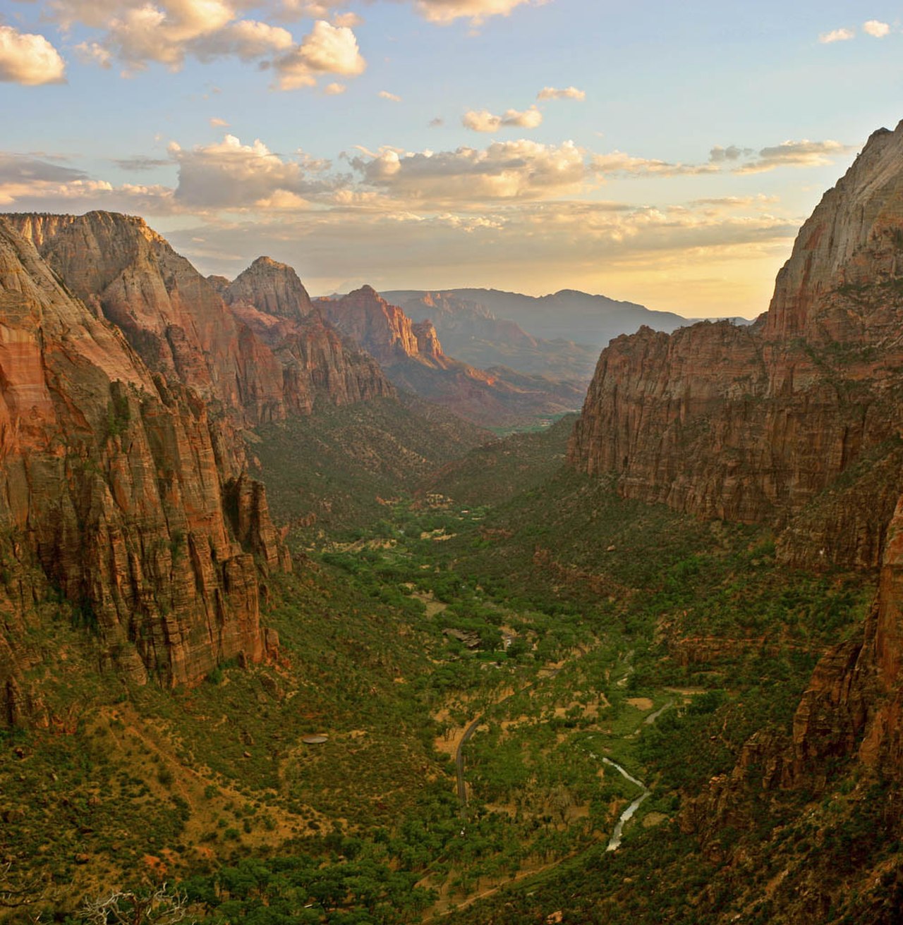
Angels Landing
Utah
The Narrows (Bottom-Up)
Utah

Observation Point Trail
Utah
.jpg/1280px-Zion_Subway_Hike_(8014446382).jpg)
The Subway (Bottom-Up)
Utah

Canyon Overlook Trail
Utah

Queens Garden to Navajo Loop
Utah