Status unknown — verify before visiting
We don't have current condition data for this trail. Check with the land manager before you go.
3.3 mi
Distance
748 ft
Elev. Gain
1h 24m
Est. Time
Loop
Route Type
Moderate
Difficulty
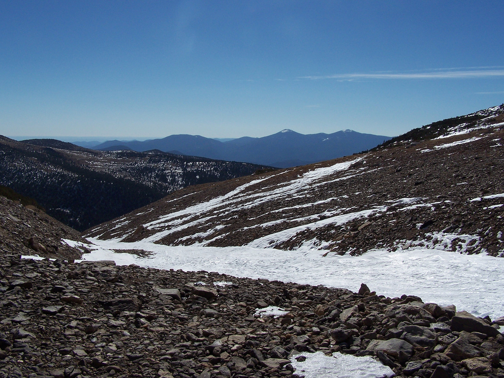
About This Trail
Imported descriptionTrail Conditions
Trail Conditions
We have no current condition data for this trail. Check with the operator before you go, and submit a report below if you've been recently.
No recent condition reports. Be the first to share what you see on the trail.
Elevation Profile
Trail Details
- Route Type
- Loop
- Surface
- Dirt
Official sources & verification
We don't have curated agency sources for this trail in our cache yet. Outdoors is not the permitting authority — confirm conditions, permits, and access with the managing agency before you go. If you know who manages this trail, please tell us.
Reviews
No reviews yet
Be the first to share your experience and help others plan their visit.
Legacy import — verify before navigating
Path geometry came from our pre-launch legacy database. Routes have not yet been re-verified against the operator and may differ from the actual trail.
Hunt context
This trail crosses hunting units
During hunting seasons, wear blaze orange and check regulations — see the Colorado hunting page
Nearby Trails
More trails near Homestead and Mesa Trail Loop
Upper Big Bluestem, Mesa and Towhee Trail Loop
South Boulder Peak, Bear Peak and Nebel Horn Loop
South Boulder Peak, Bear Peak, and Green Mountain Trail
Boulder Skyline Traverse
South Boulder Peak via Homestead Trail
Shadow Canyon Trail to South Boulder Peak
Stay nearby
Campgrounds near this trail
Winiger Ridge at Gross Reservoir
6.1 mi away · CO
Reservable
A-Lodge Boulder - Tent Sites
6.5 mi away · CO
A-Lodge Boulder - Hostel
6.5 mi away · CO
A-Lodge Boulder - Car Camping
6.5 mi away · CO
Boulder Ranger District, west of Boulder
6.8 mi away · CO
Reservable
Deer Creek - Golden Gate Canyon State Park
7.6 mi away · CO
Similar length
Similar trails in Colorado

Emerald Lake Trail
Colorado
Royal Arch Trail
Colorado
The Incline Trail
Colorado
Maxwell Falls Lower Trail
Colorado
Saint Mary's Glacier
Colorado
Mount Galbraith Loop via Cedar Gulch Trail
Colorado