1.6 mi
Distance
1,001 ft
Elev. Gain
2h 18m
Est. Time
Out & Back
Route Type
Moderate
Difficulty
About This Trail
Mist Trail to Vernal Fall is an out-and-back trail in Yosemite National Park, managed by the National Park Service, in Mariposa County, California. It is 1.6 miles long and gains 1,001 feet. The surface is mixed. The nearest town is Yosemite Valley, California, about 1 mile away in a straight line.
From the trail data on this page. For conditions and closures, see official sources.
Trail Conditions
Trail Conditions
Updated Apr 19, 2026 — may be out of date
No recent condition reports. Be the first to share what you see on the trail.
Hazards & Warnings
Trail Details
- No dogs
- Route Type
- Out & Back
- Surface
- Mixed Surface
Official sources & verification
Managed by National Park Service
Source of truth
- Agency source page
The page our published rules and notes are derived from.
- Pets in Yosemite
National Park Service, Yosemite National Park
- National Park Service unit page
Alerts, conditions, and the unit's plan-your-visit page.
Where it is
- Nearest town:
- Yosemite Valley, CA · in or next to town
- County:
- Mariposa County, CA
- Jurisdiction:
- Yosemite National Park · National Park Service
Nearest town and county from U.S. Census Bureau place records and county boundaries.
Verify by phone or mail
- Operator:209-372-0200
- Address:9039 Village Drive · Yosemite, CA · 95389
Highlights
Reviews
No reviews yet
Be the first to share your experience and help others plan their visit.
OpenStreetMap
Nearby Trails
More trails near Mist Trail to Vernal Fall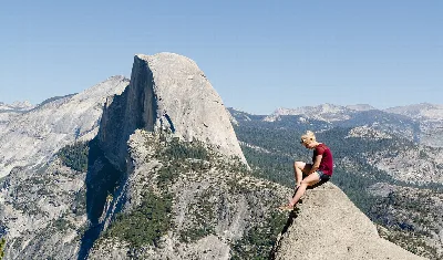
Half Dome
0.0 mi away
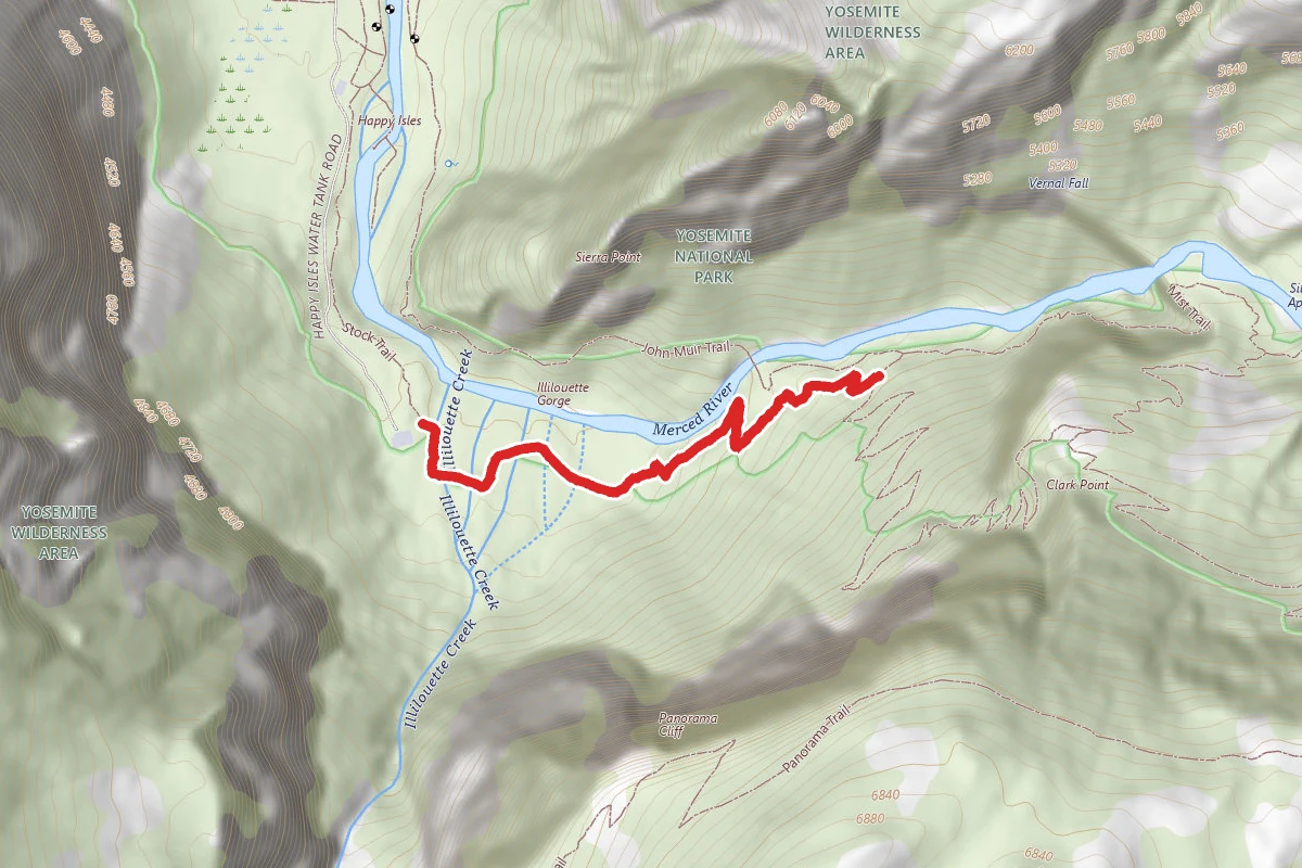
Stock Trail
0.1 mi away
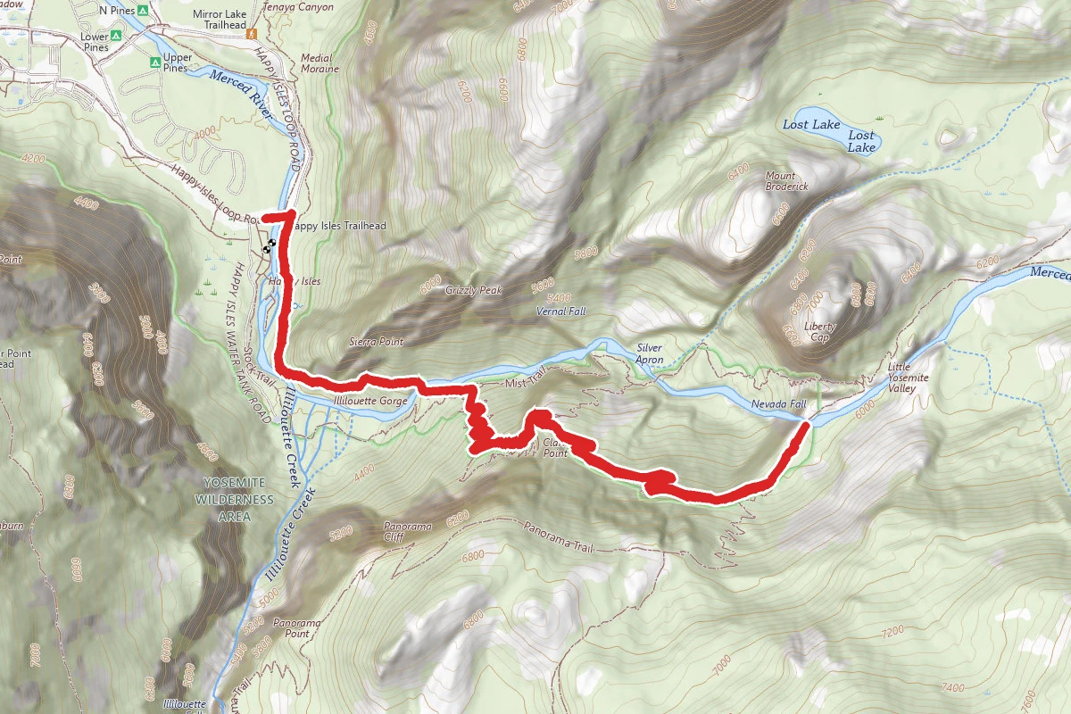
Nevada Falls
0.4 mi away
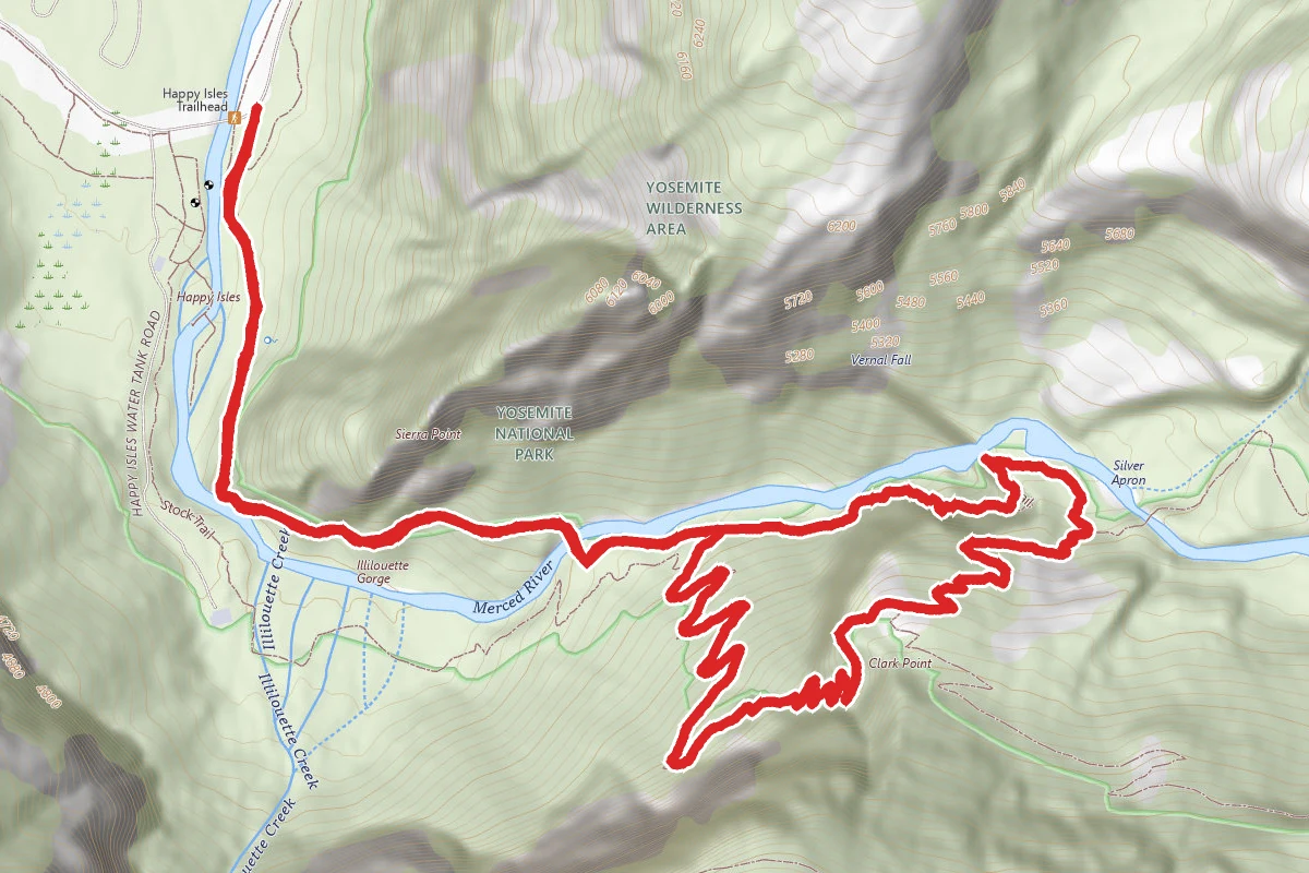
Vernal Falls and Clark Point via Mist and John Muir Loop
0.4 mi away
Glacier Point Apron Approach
0.4 mi away
Happy Isles Fen Boardwalk
0.4 mi away
In this park
Other trails in Yosemite National Park
Half Dome
California
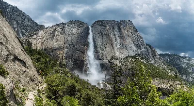
Yosemite Falls Trail
California
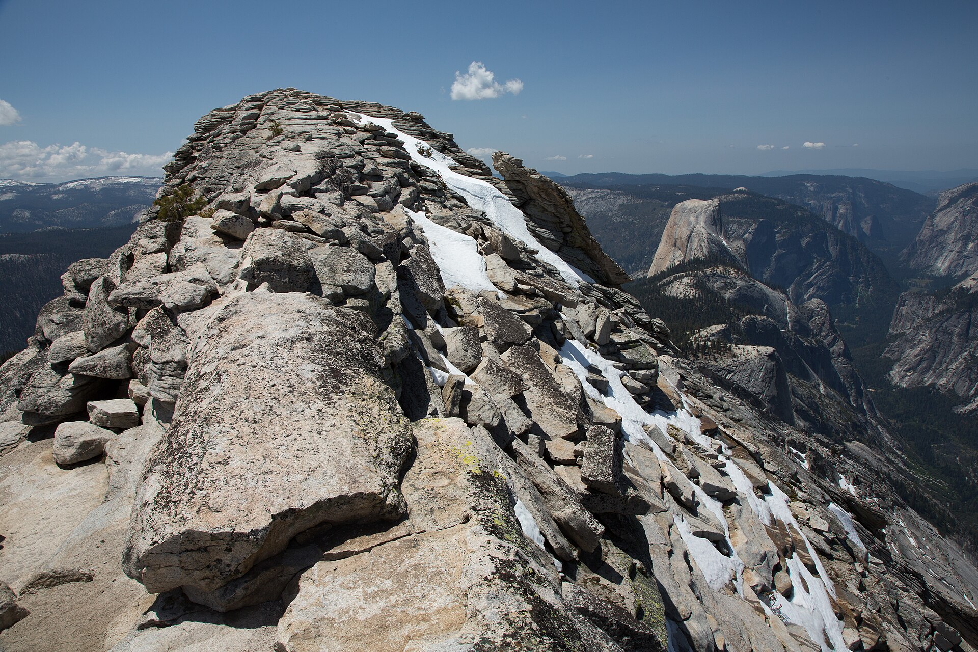
Clouds Rest
California
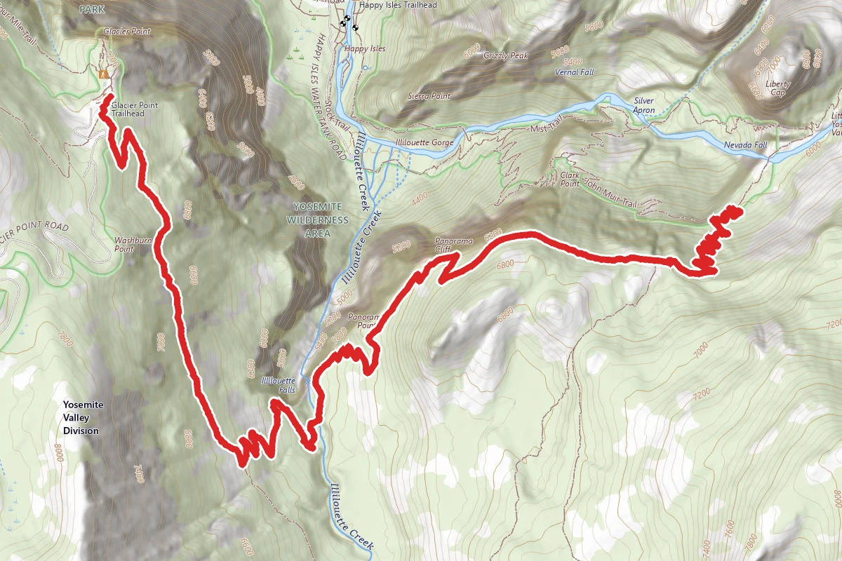
Panorama Trail
California
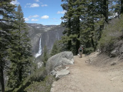
Four Mile Trail
California
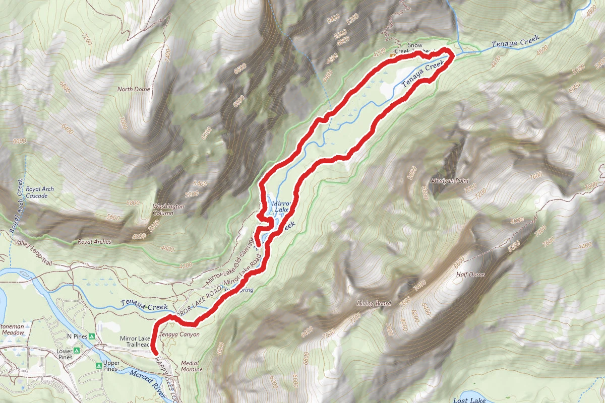
Mirror Lake Loop
California
Stay nearby
Campgrounds near this trail

Upper Pines Campground
0.7 mi awayYosemite National Park
Yosemite National Park, CA
Check official pricing290 sitesNational Park Reservable TentRV Very popular Some Coverage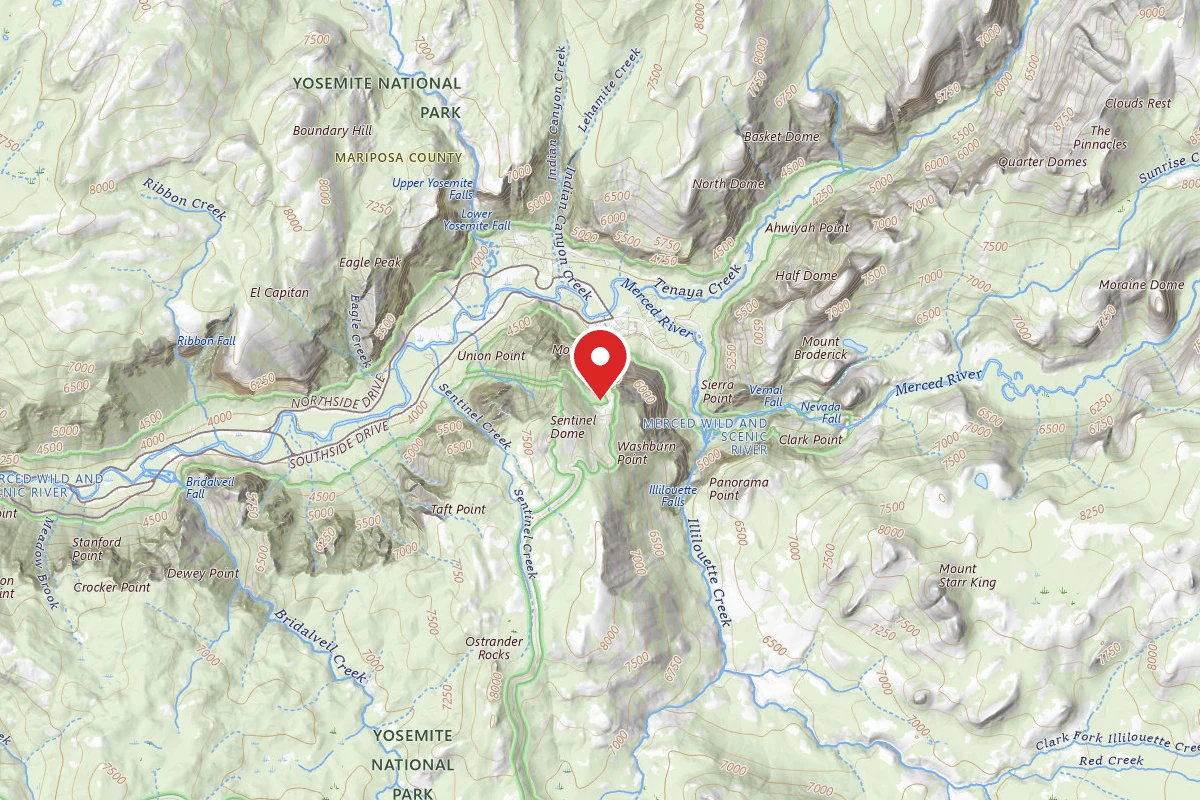
Glacier Point Ski Hut
1 mi awayYosemite National Park
Yosemite National Park, CA
Reservable
Lower Pines Campground
1.1 mi awayYosemite National Park
Yosemite National Park, CA
Check official pricing196 sitesNational Park Reservable TentRV Very popular Major Issues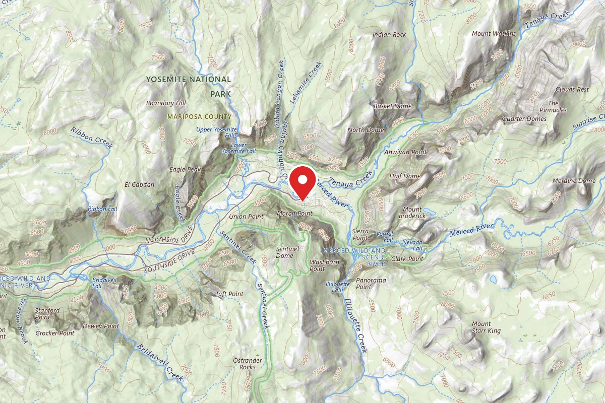
Curry Village
1.2 mi awayYosemite National Park
Yosemite National Park, CA
Reservable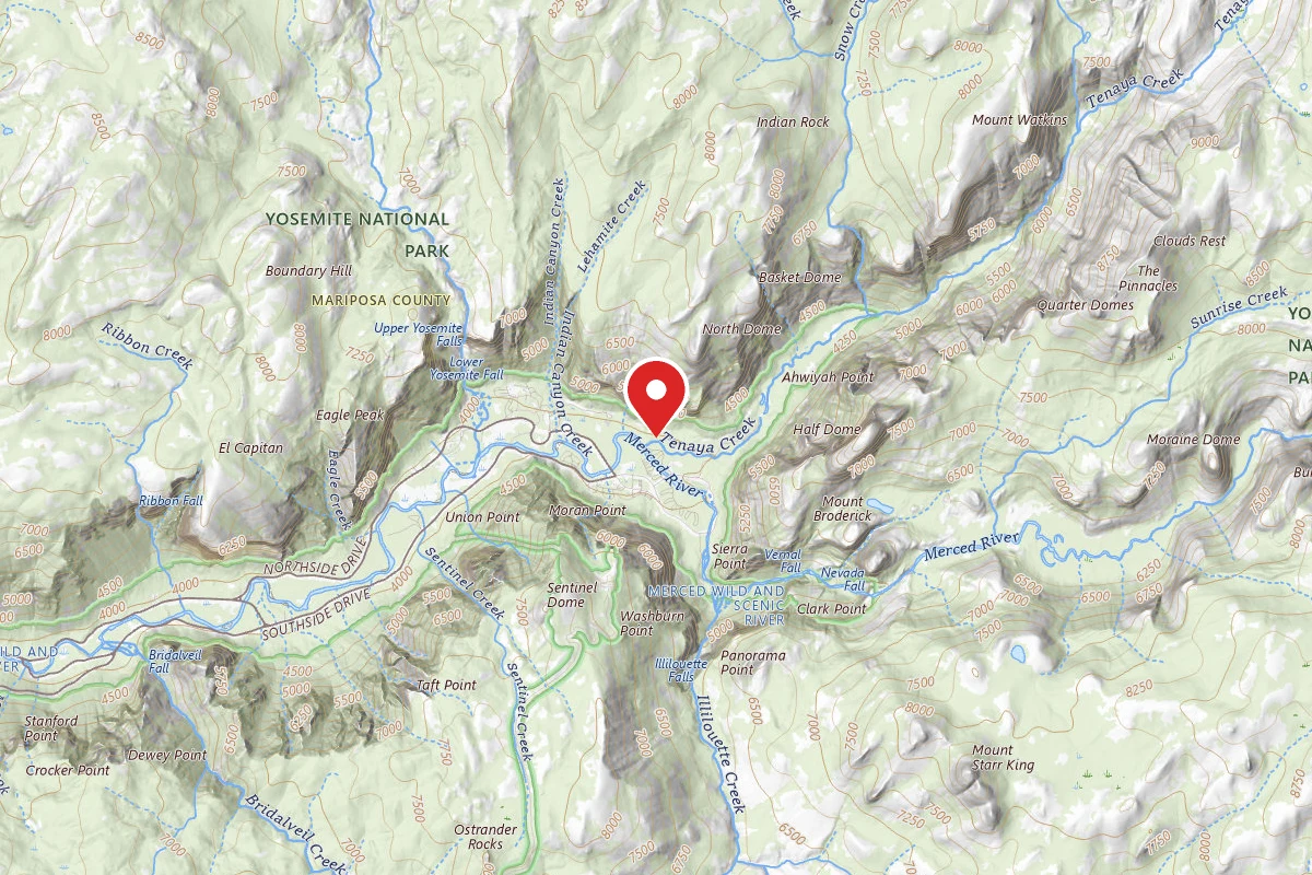
Yosemite Valley Backpacker's Campground
1.3 mi awayYosemite National Park
Yosemite National Park, CA
Reservable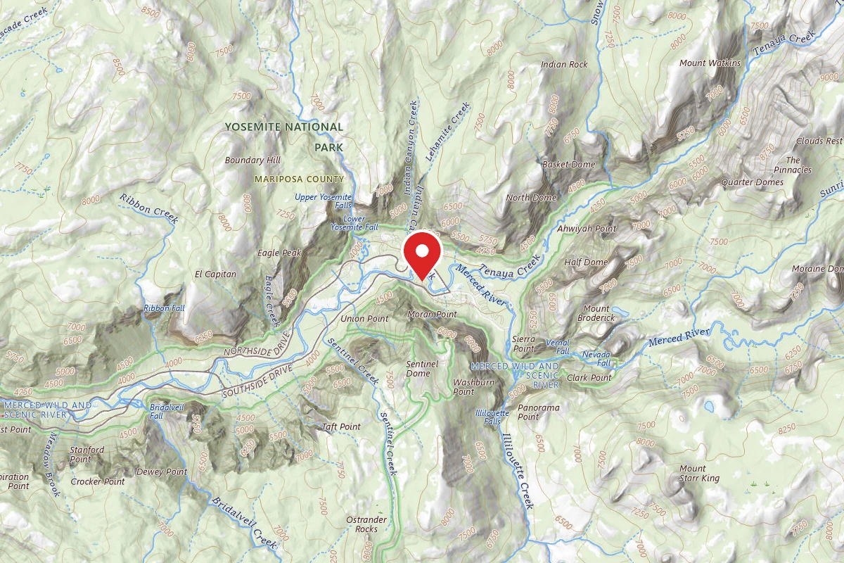
Housekeeping Camp
1.6 mi awayYosemite National Park
Yosemite National Park, CA
Reservable
Similar length
Similar trails in California
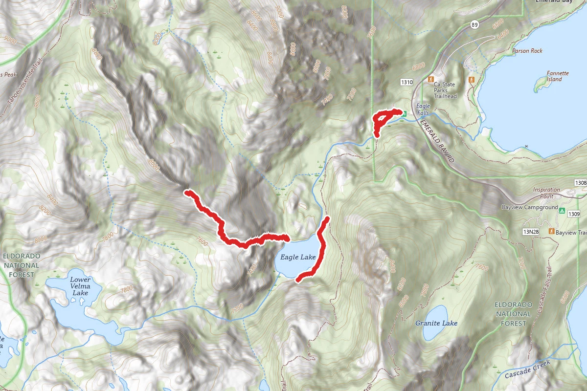
Eagle Lake Trail
California
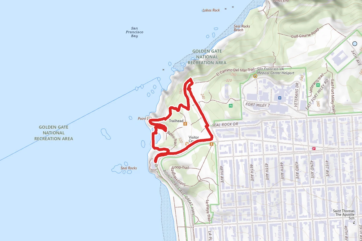
Cliff House Walk at Land's End Trail
California
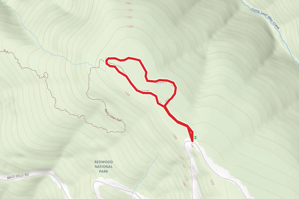
Lady Bird Johnson Grove Trail
California
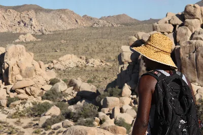
Hidden Valley Nature Trail
California
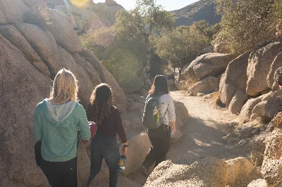
Barker Dam Nature Trail
California
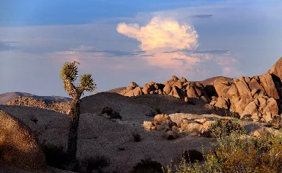
Skull Rock Nature Trail
California