Status unknown — verify before visiting

We don't have current condition data for this trail. Check with the land manager before you go.

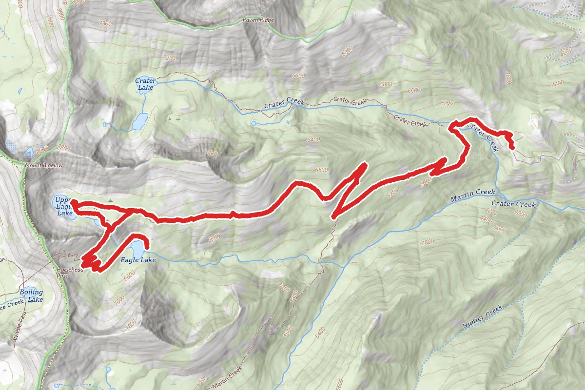
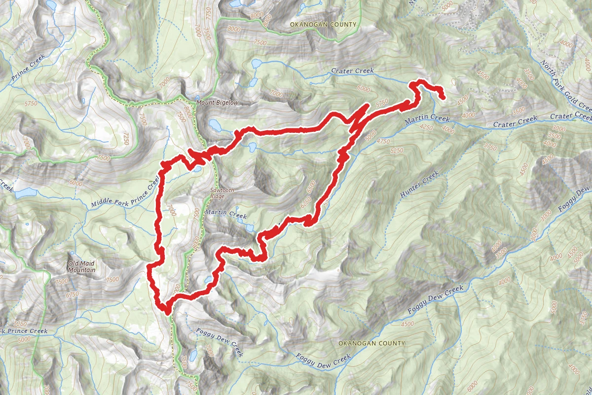
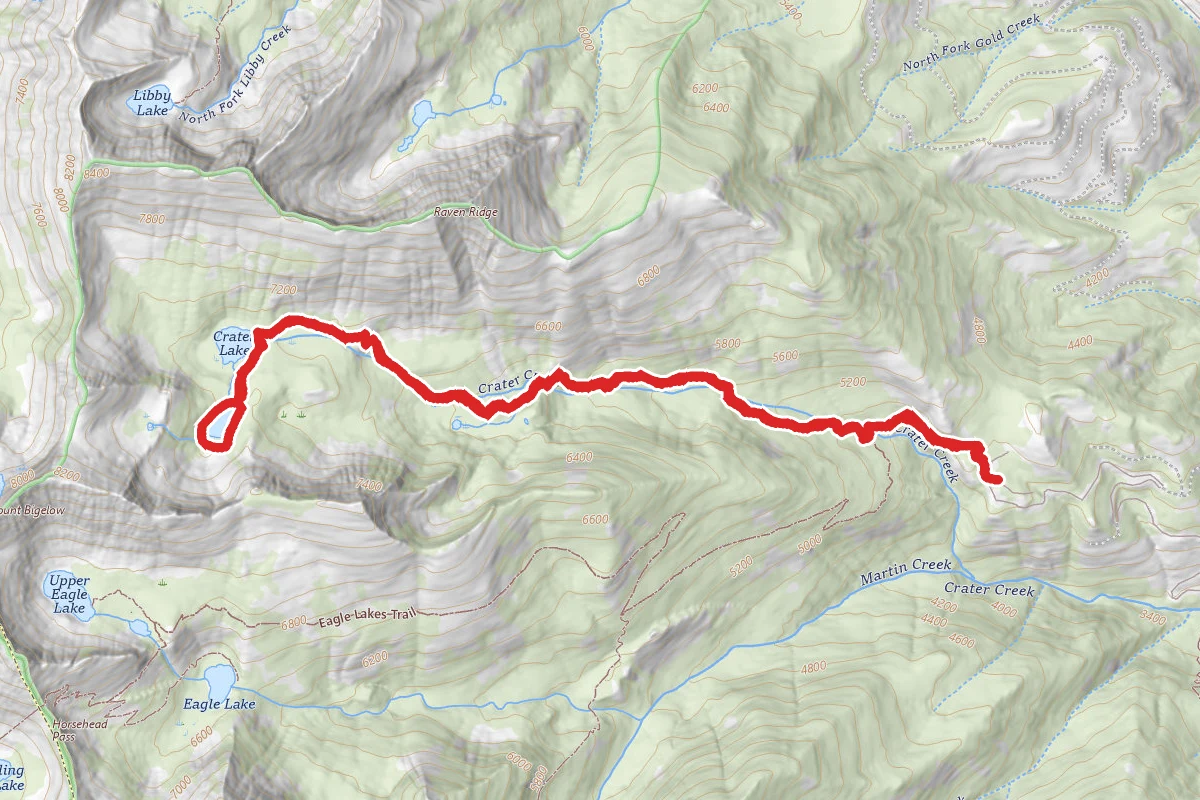
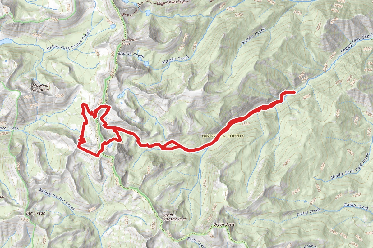
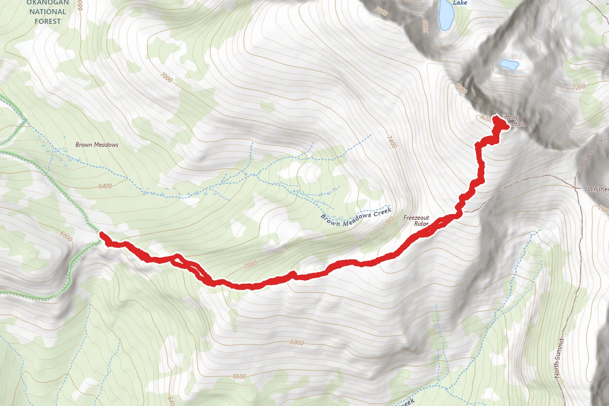
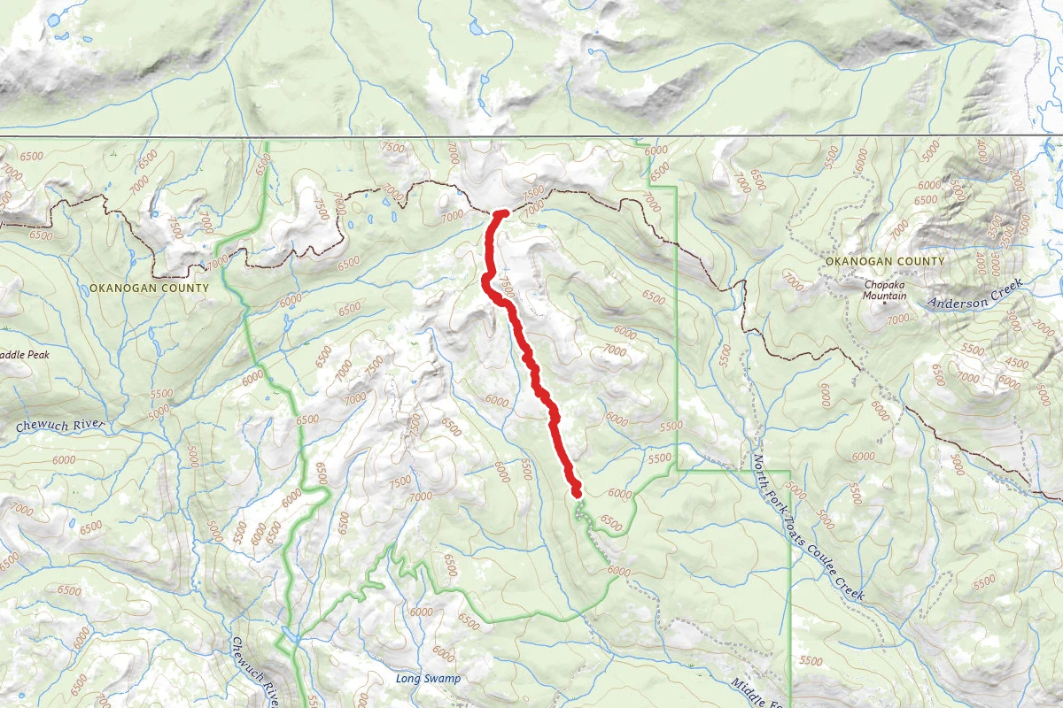
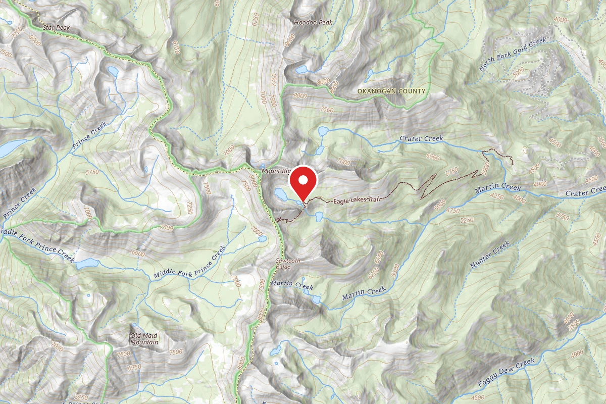
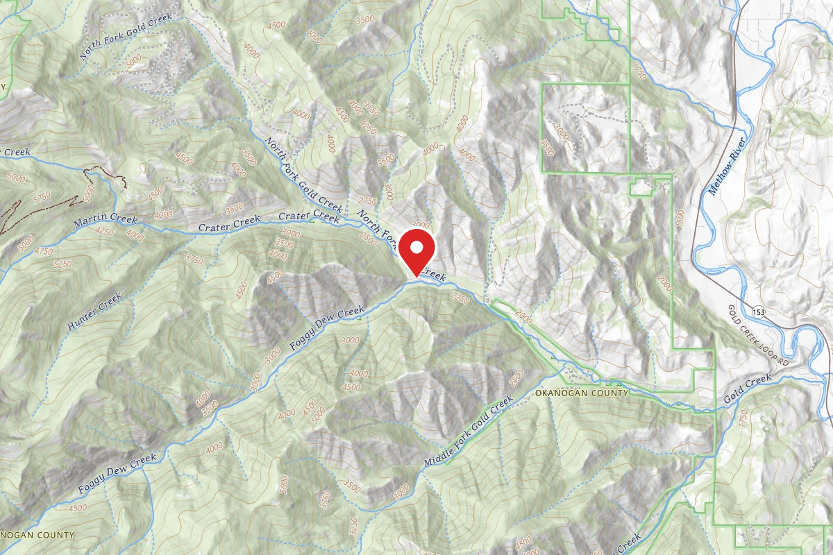
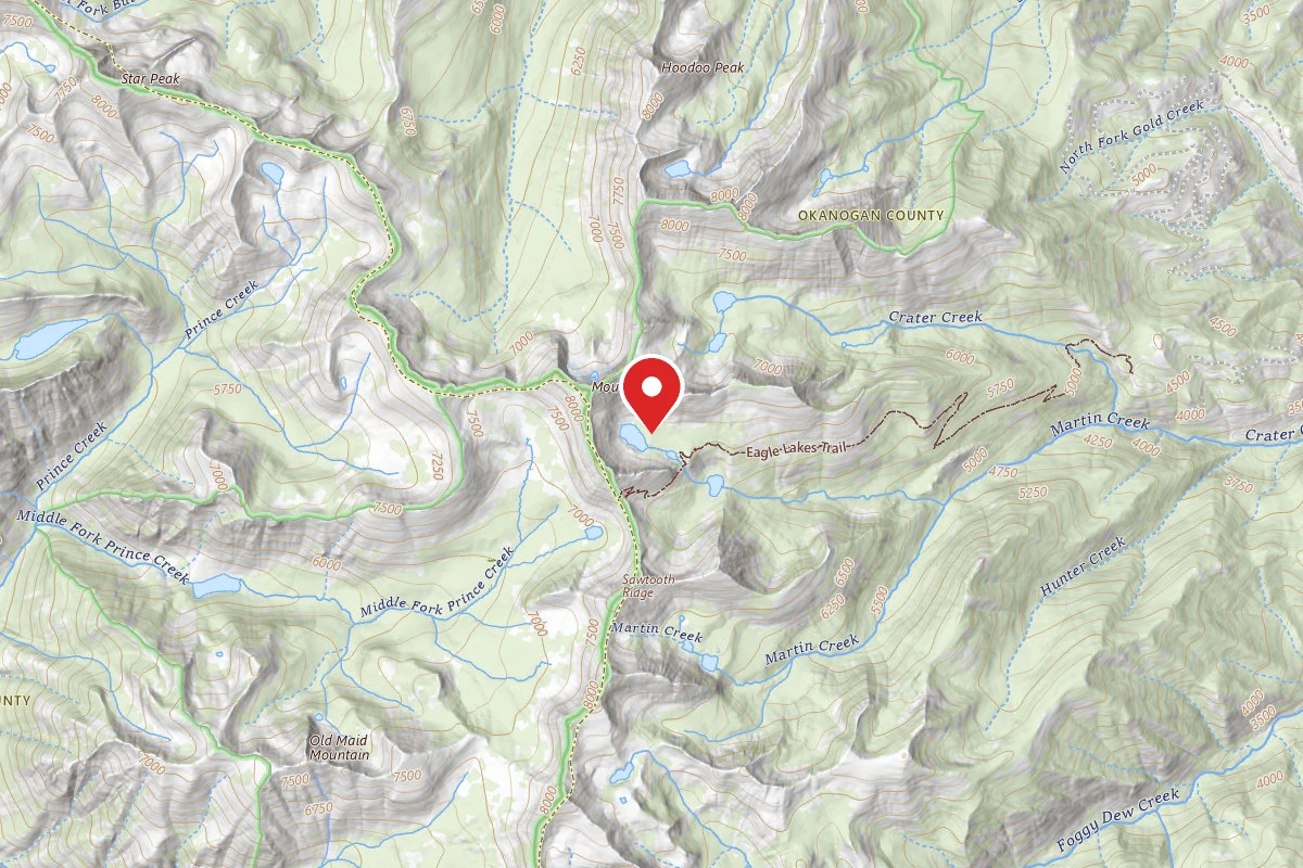
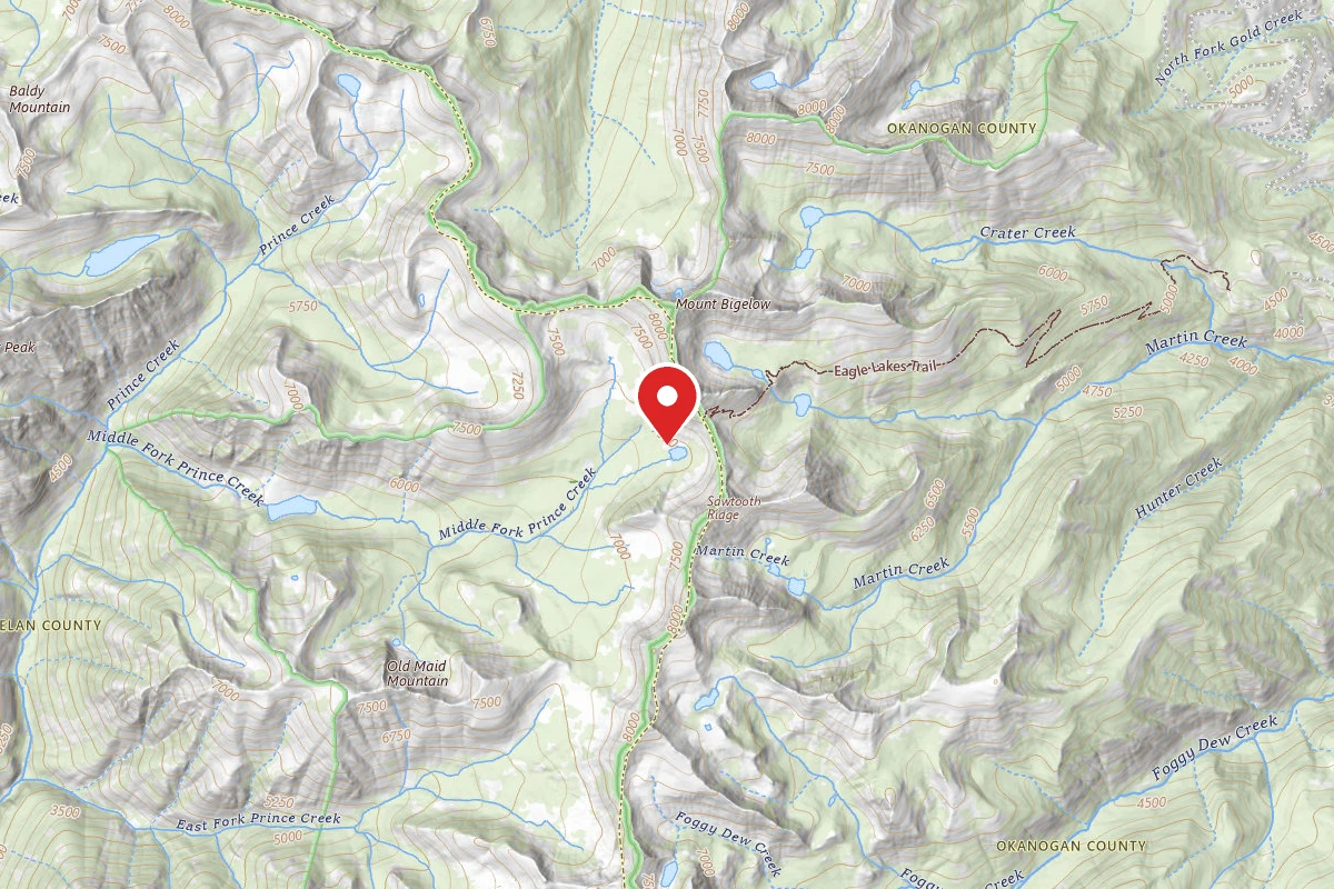
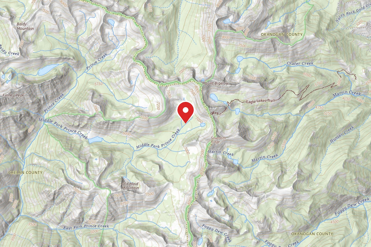
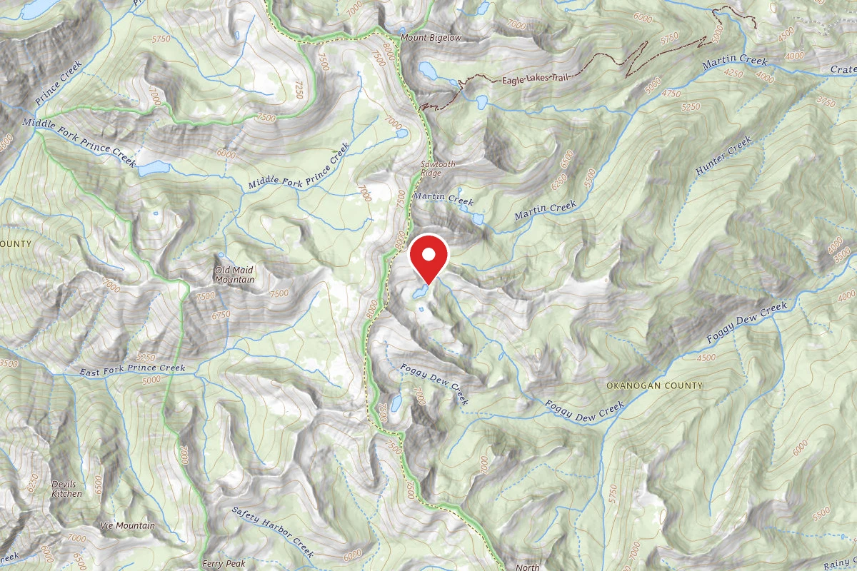
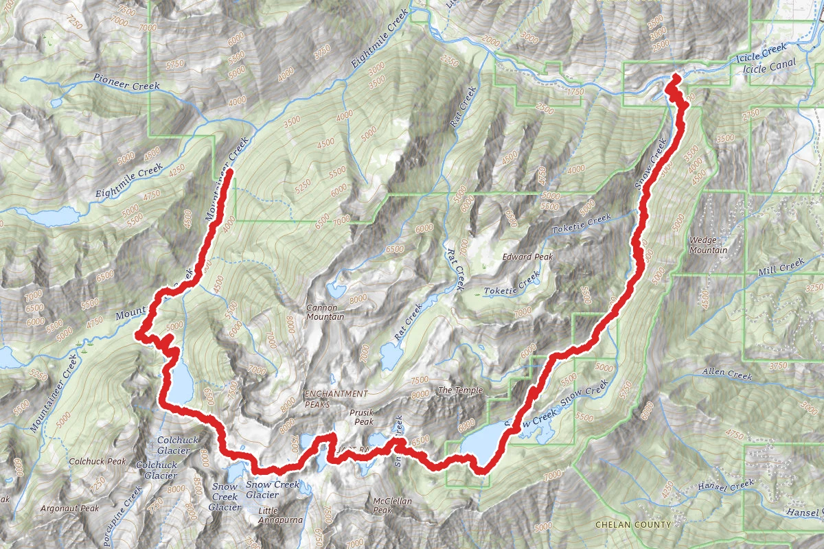
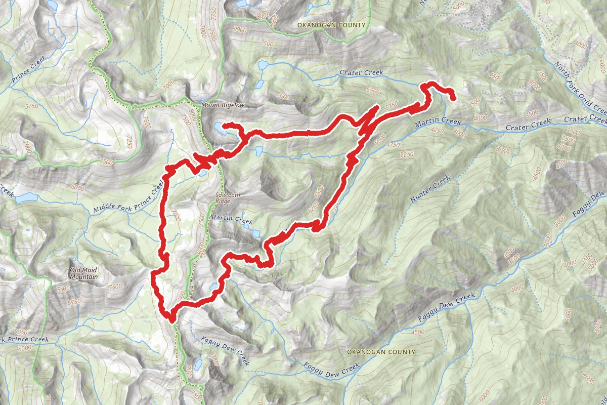
Golden Lakes Loop route map
ExpertLoop

Golden Lakes Loop

Carlton, Washington

23.0 mi

Distance

7,428 ft

Elev. Gain

Loop

Route Type

Expert

Difficulty

About This Trail

Imported description
Start at the Crater Creek, Golden Lakes Loop trailhead, 4750ft elevation, where camping and a concrete pit toilet are available. The trail is a wide, dirt path that keeps level for most of the way up, before reaching the granite that is prevalent in this region, making for easy hiking. The trail starts in pines and firs, and progresses through hillsides covered in grass and sparse trees, to your junction with the Golden Lakes Trail#431, at .7 miles. Turn left, and follow the easy uphill grade for 2.2 miles, to your next junction, with the Martin Creek Trail #429. This is where you will return on day 3, so stay right here, to continue on the Golden Lakes Trail. The cut-off for Upper Eagle Lake is at 5.65 miles, a faint unmarked path that leads uphill. Follow this through a park like setting, gold grass covers the ground, and the massive larch forest looms all around, dropping their needles to form a carpet of gold threads. Upper Eagle Lake is at 7100ft, 6.1 miles in, and there are several good campsites around the lake. Day 2 Go back to the main trail, and turn right, and within 1 mile, you will be skirting the ridge that is holding in Upper Eagle lake, across a large boulder field with excellent views of the leading edge of Cheops peak. Looking east, across Lower Eagle Lake, you will see back across the Methow valley, and miles and miles of fading ridgelines. At the 1.64 mile mark, you will come to Horse Head Pass, elevation 7614ft. Again, big views to the east and west. West views look across the Boiling Lake basin below, across hidden Lake Chelan, and into the Glacier Peak wilderness; Drop down into Boiling lake on a constant, but well maintained switch back across rock and dirt to the valley floor, at 2.7 miles. Boiling Lake is a shallow, round lake set in a large, flat meadow, complete with picnic tables set in strategic spots. Just as you reach the lake, you will see a sign pointing the way to Cub Lake, turn right, and head down through increasing firs, to your next trail junction, at 3.7 miles. Here, you will see more signs, and a confusing X shaped intersection. You will want to turn sharp left, on the signed “Summit Trail”#1259, that seems to want to go back the direction you just came from. You will know you’re on the right track, for you will cross a stream in about 150ft or so. You will begin to head steadily uphill again through old growth forest and gradual clearings of grassland to your next small pass/ridge crossing at 5.7 miles, and 7128ft elevation. Once over the ridge, you see the southern edge of Old Maid Mountain, looking like prairie grassland turned on its side. In .2 of a mile, you will reach the cut-off to Angel Staircase, trail #417, turn left, and head up through the idyllic meadows of grass that run all the way to the stark bare cliffs. This begins the steepest part of the journey, as it winds its way up over exposed ridgeline to the top of the next pass, a little over 1000ft of gain in 1.5 miles. Reaching the top of this rocky ridge in 7.3 miles, you will be at your highpoint for the day at 8113ft elevation, on the shoulder ridge of aptly named Switchback Peak. Nothing but bird’s eye views across to now visible Glacier Peak in the western distance. Having crested the ridge, now visible is Merchants basin below to the SW, and across this expanse, you can see Sunrise Lake, nestled in a horseshoe bowl below Sunrise peak, glistening blue-green among more larch. Follow the ridge along to the next saddle, at 7.57 miles, looking over Cooney Lake basin. Once again, here’s a pretty blue lake surrounded by the gold larch that grow everywhere. Drop down steeply to the lakeshore, and look for campsites on the northern shore. Many sites here, but the best seems to be at the extreme end here looking back across the expanse of the lake, located at 7300ft. Day 3 The return trip will be a day of losing elevation, and the trail picks up at the NE extreme end of the lake, wanders through more grassy fields and larch, downhill to a junction across a creek .2 miles from the lake. Turn left and head slightly uphill before continuing your downward descent, skirting the flanks of Martin peak. Once past this last real opening, the way down continues over a well maintained dirt trail, through pines, then larger and larger old growth fir, hemlock and cedar, becoming a forest walk all the way back to the Martin Creek trail junction, passed by on the first day. First, you will come to the cut-off for Martin Lakes, at 2.27 miles, a signed trail marker also indicates that the trail you’re on will lead to the Golden Lakes trail#431. Continue on this trail steadily downward, to the creek that runs out of Eagle lakes, at 5.45 miles, a small dam will aid you in the crossing… From here, you climb uphill for .9 miles to the junction with Gold Lakes Trail, at 6.36 miles. Now, it’s only another 2.2 miles back to the parking lot.

Trail Conditions

Trail Conditions

Unknown

We have no current condition data for this trail. Check with the operator before you go, and submit a report below if you've been recently.

No recent condition reports. Be the first to share what you see on the trail.

Elevation Profile

Min:1,442 ft
Max:2,458 ft
2,264 ft
2,264 ft
1,442 ft1,781 ft2,119 ft2,458 ft0.0 mi5.8 mi11.5 mi17.3 mi23.0 mi

Trail Details

Route Type
Loop
Surface
Dirt

Official sources & verification

Managed by United States Forest Service

Verify before you go

Managing agency

Verify by phone or mail

  • Address:WA
We display cached information from agency feeds. Hours, fees, permits, closures, fire restrictions, and conditions change without notice. Outdoors is not the permitting authority. Confirm current conditions for this trail using the links above before you go — you are responsible for compliance. Last verified by us: May 23, 2026. Our copy is more than a month old — please reconfirm with the agency before relying on it.Spot an error in our data?

Reviews

No reviews yet

Be the first to share your experience and help others plan their visit.

Legacy import — verify before navigating

Path geometry came from our pre-launch legacy database. Routes have not yet been re-verified against the operator and may differ from the actual trail.

Hunt context

This trail crosses hunting units

During hunting seasons, wear blaze orange and check regulations — see the Washington hunting page

Spot an error in our data on Golden Lakes Loop?