ModeratePoint to Point
20.5 mi
Distance
2,195 ft
Elev. Gain
7h 23m
Est. Time
0.0
0 Reviews
About This Trail
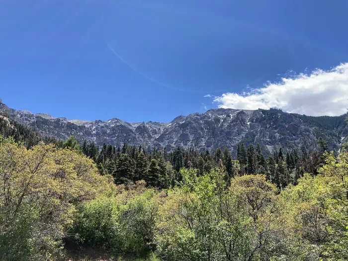
It's great for new and experienced drivers. The Alpine loop is a result of this trail and Cinnamon Pass. It is an exciting trip for all drivers. There are a lot of mines along the route. You can find great places to camp and fish on the east side of the trail. The San Juan Mountains Center is closed during the winter. The route is easy, but there are a few places on the west side of the pass that you should pay attention to. This pass is very high and should not be treated lightly. If there is snow, don't drive. It is important to use caution in wet weather. It can be done with any 4x4 with moderate ground clearance and low range of gears.
Trail Details
Point to Point
Route Type
Dirt
Surface
Dogs Allowed (Leash Required)
Dog Policy
Yes
Kid Friendly
No
Permit Required
Elevation Profile
Min:2,652 ft
Max:3,953 ft
669 ft
1,700 ft
Reviews
No reviews yet
Be the first to share your experience and help others plan their visit.
Trail Conditions
Trail Conditions
Unknown
Updated Unknown
No recent condition reports. Be the first to share what you see on the trail.
Nearby Trails
More trails near Engineer Pass Road
Stay nearby
Campgrounds near this trail
Similar length
Similar trails in Colorado
North Mount Elbert Trail
Colorado
16.6 km1,421 mgain
Difficult
The Keyhole and Longs Peak via Longs Peak Trail [CLOSED]
Colorado
23.8 km2,114 mgain
Difficult
Pikes Peak via Barr Trail
Colorado
34.3 km2,584 mgain
Difficult
Waterton Canyon Trail [CLOSED]
Colorado
20.0 km583 mgain
Easy
Mills Lake, Black Lake, Frozen Lake Trail [CLOSED]
Colorado
17.7 km909 mgain
Difficult
Cascade Creek Trail to Mirror Lake and Crater Lake
Colorado
23.0 km1,073 mgain
Moderate