Eagle Creek Trail
13.0 mi
Distance
144 ft
Elev. Gain
4h 24m
Est. Time
Moderate
Difficulty
About This Trail
We don't publish a description for Eagle Creek Trail unless we can point you at the agency it came from. We don't have one yet. The planning figures above — distance, elevation gain, estimated time, route type — come from the source listed on this trail.
The managing agency is the authority for conditions, closures and route notes. See official sources below. Spot something we should add?
Trail Conditions
Trail Conditions
We have no current condition data for this trail. Check with the operator before you go, and submit a report below if you've been recently.
No recent condition reports. Be the first to share what you see on the trail.
Hazards & Warnings
Elevation Profile
| Point | Distance from start | Elevation |
|---|---|---|
| Start | 0.0 mi | 1,141 ft |
| End | 13.0 mi | 34 ft |
Trail Details
Permit required
Apply through the issuing agency. Many systems run seasonal lotteries or fixed application windows — confirm current dates on the agency page.
Eagle Creek Trailhead needs a valid Recreation Pass. Around mile 5 the trail enters the Mark O. Hatfield Wilderness, where a free wilderness permit is required and self-issued at the wilderness boundary. Punch Bowl Falls is a side trail about 2 miles up; Tunnel Falls is about 7 miles up, beyond the boundary.
Official sources & verification
Reserve or permit
- Apply for permit
Required permit application for this trail. Many systems run seasonal lotteries or fixed application windows — confirm current dates here.
Source of truth
- Eagle Creek Trail #440 (Mt. Hood NF)
USFS Mt. Hood NF
Where it is
- Nearest town:
- Cascade Locks, OR · about 7 mi away
- County:
- Hood River County, OR
Nearest town and county from U.S. Census Bureau place records and county boundaries.
Verify by phone or mail
- Columbia River Gorge National Scenic Area Headquarters:(541) 308-1700
Highlights
Reviews
No reviews yet
Be the first to share your experience and help others plan their visit.
OpenStreetMap
Nearby Trails
More trails near Eagle Creek TrailPacific Crest Trail
Eagle Creek Trail #440
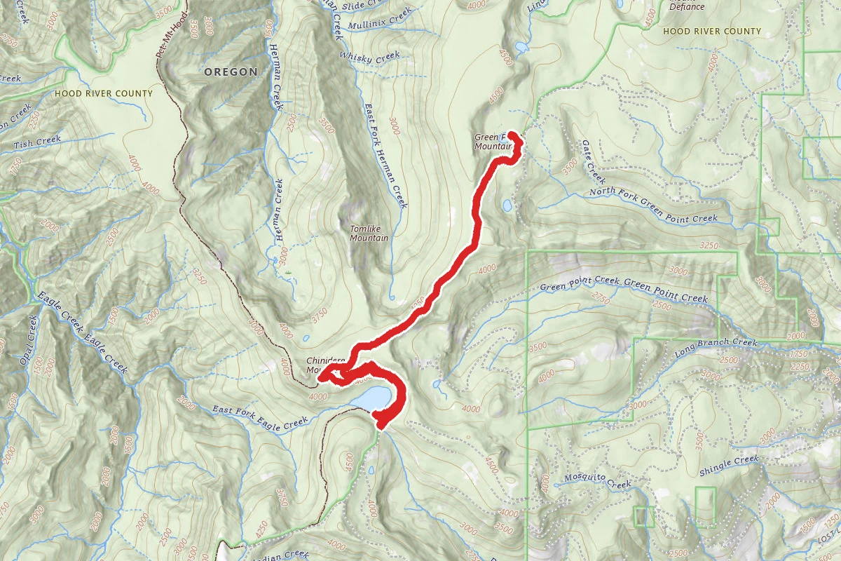
Rainy Lake and Green Point Mountain Trail
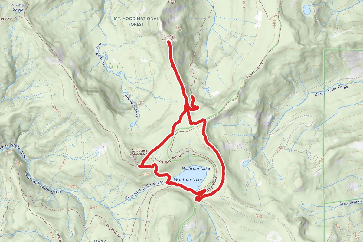
Wahtum Lake to Tomlike Mountain
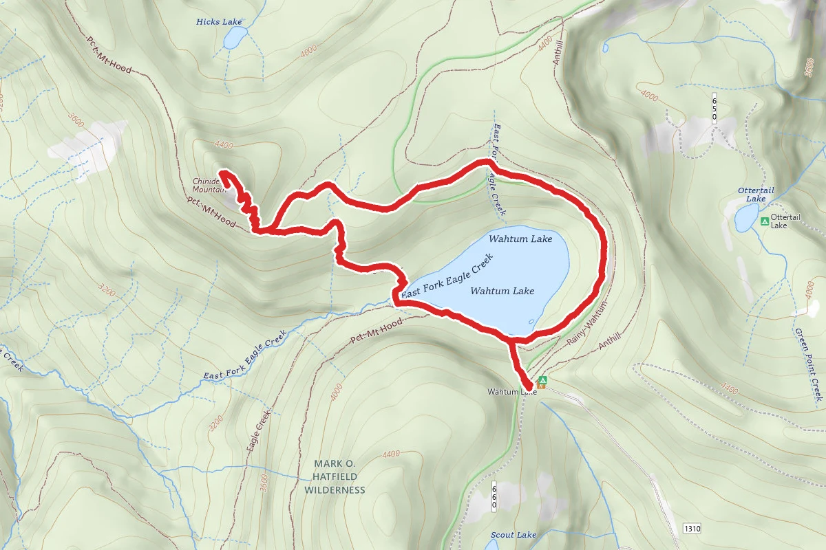
Chinidere Mountain via Chinedere Cutoff Trail and PCT
Pct: Mt Hood
Stay nearby
Campgrounds near this trail
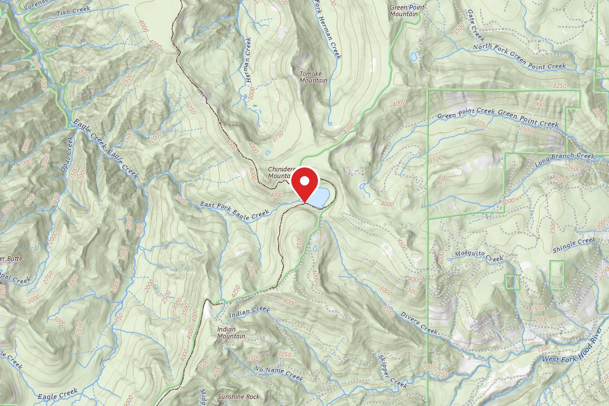
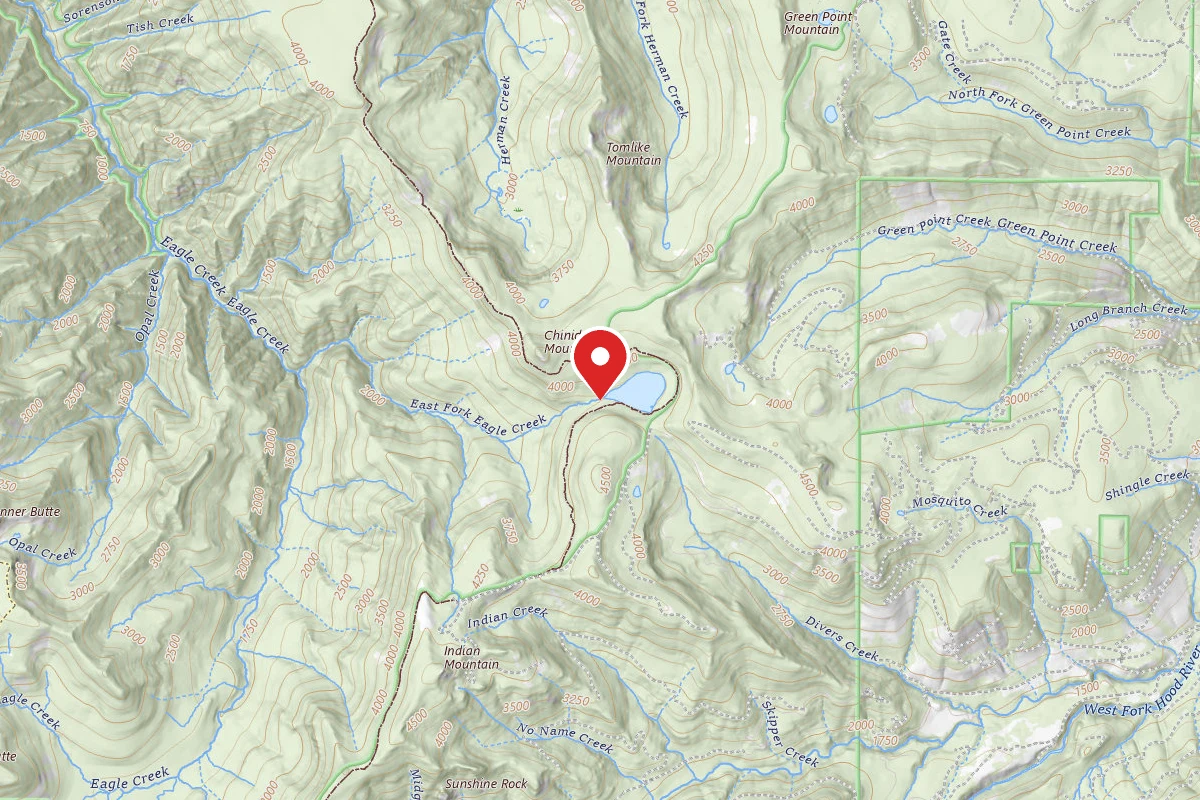
Dispersed Site near 45.5806, -121.7987
0 mi away · OR
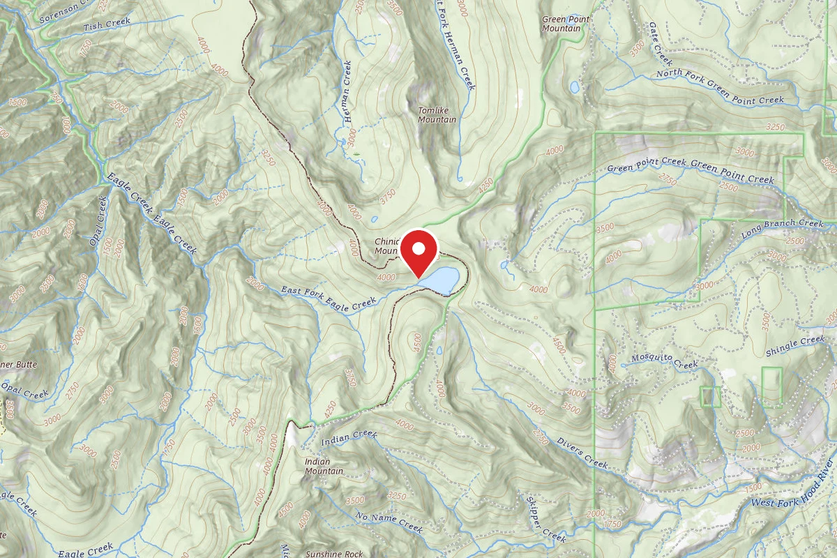
Dispersed Site near 45.5809, -121.8014
0.1 mi away · OR
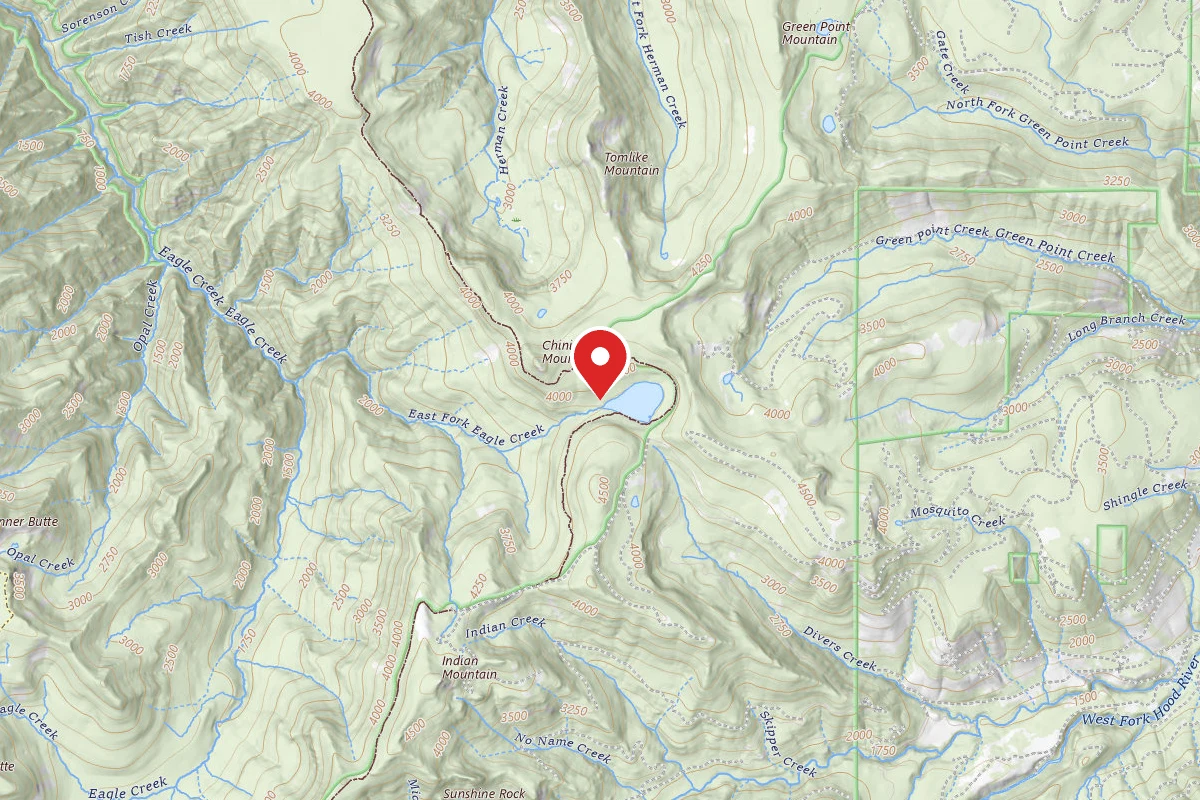
Dispersed Site near 45.5822, -121.8003
0.1 mi away · OR
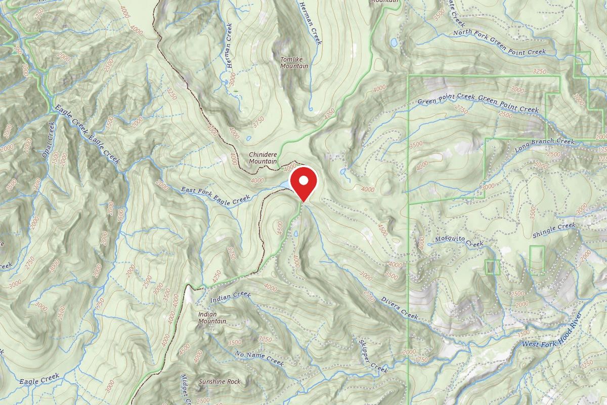
Dispersed Site near 45.5821, -121.8011
0.2 mi away · OR
Wahtum Lake Campground
0.4 mi away · OR
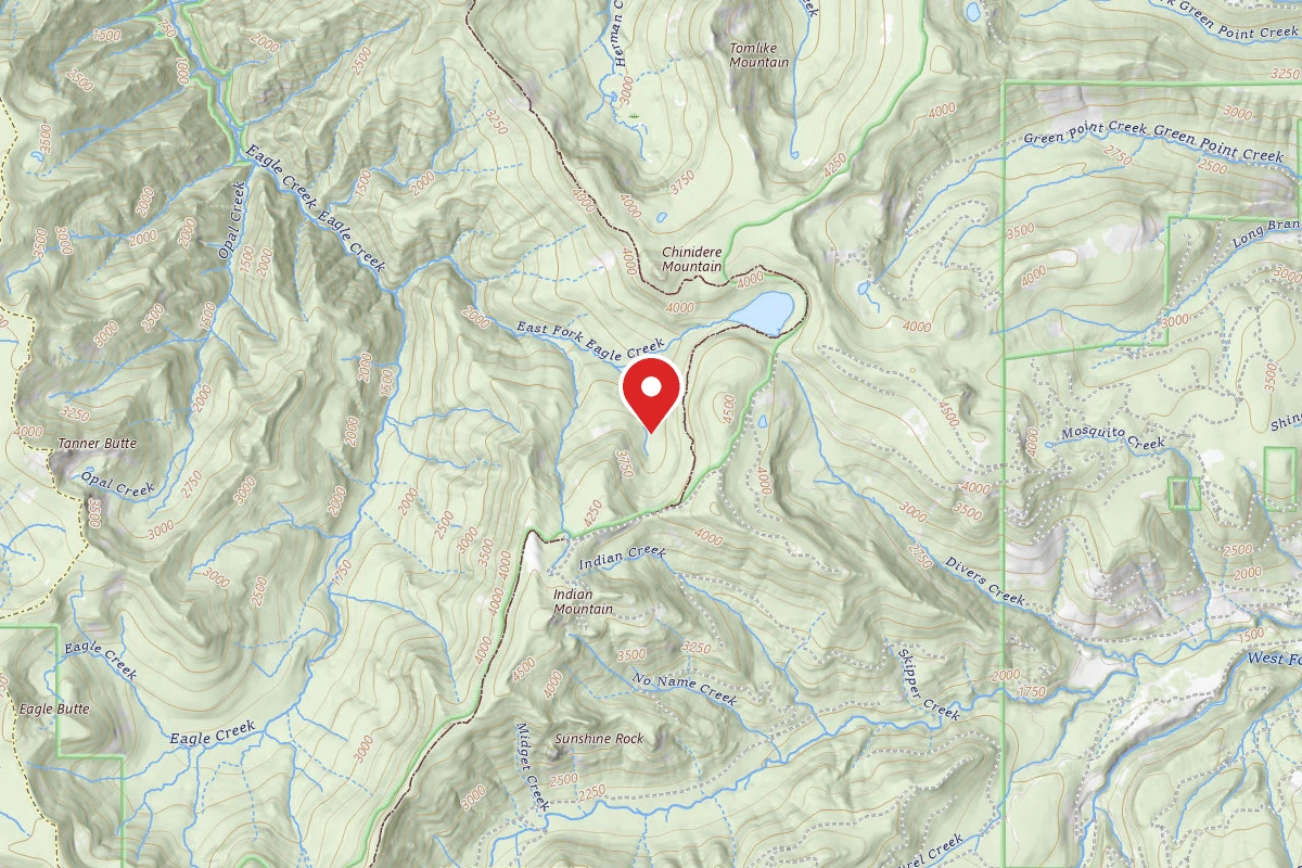
Dispersed Site near 45.5685, -121.8129
1.1 mi away · OR
Similar length
Similar trails in Oregon
Trail of Ten Falls
Oregon
South Sister Trail
Oregon
Mount Hood from Timberline
Oregon
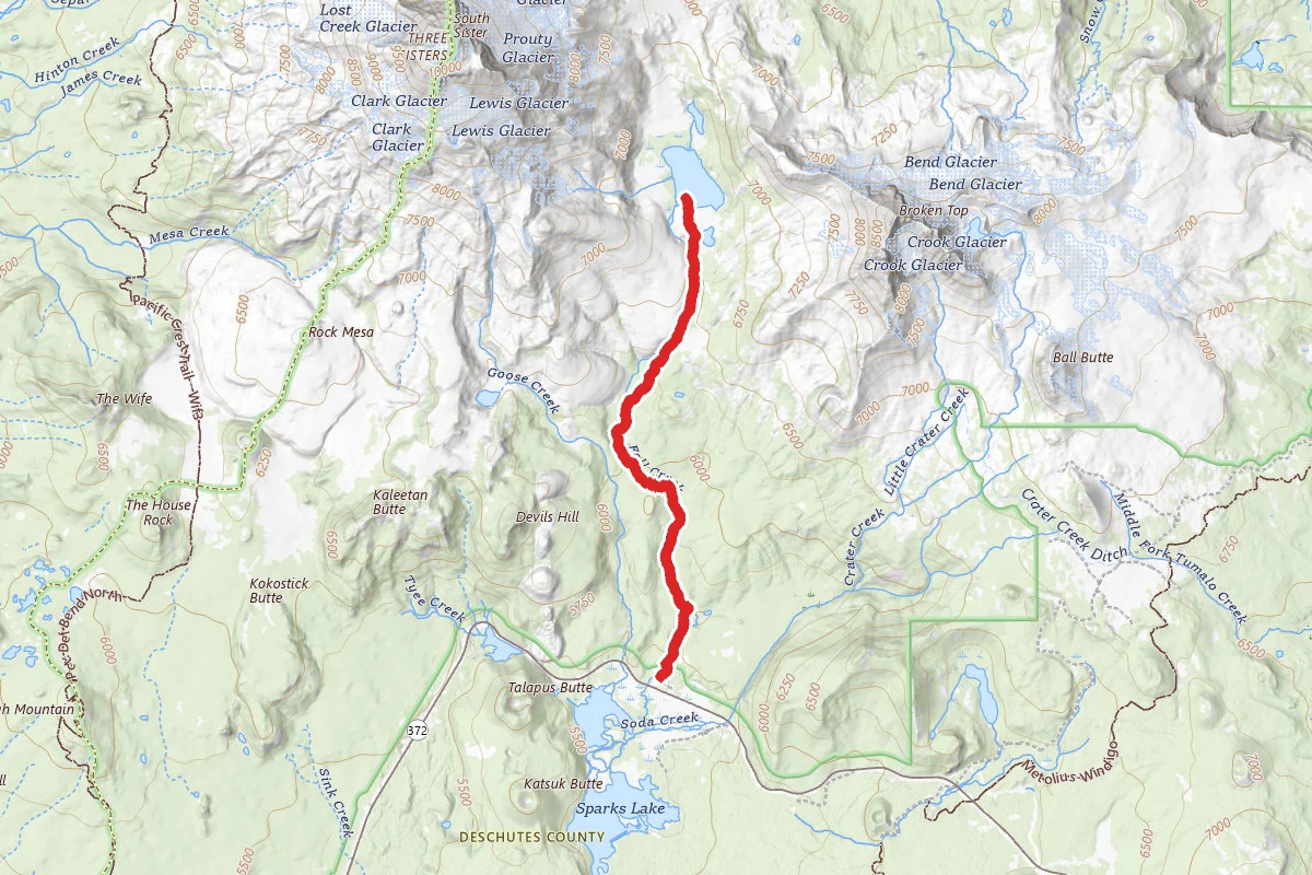
Green Lakes
Oregon
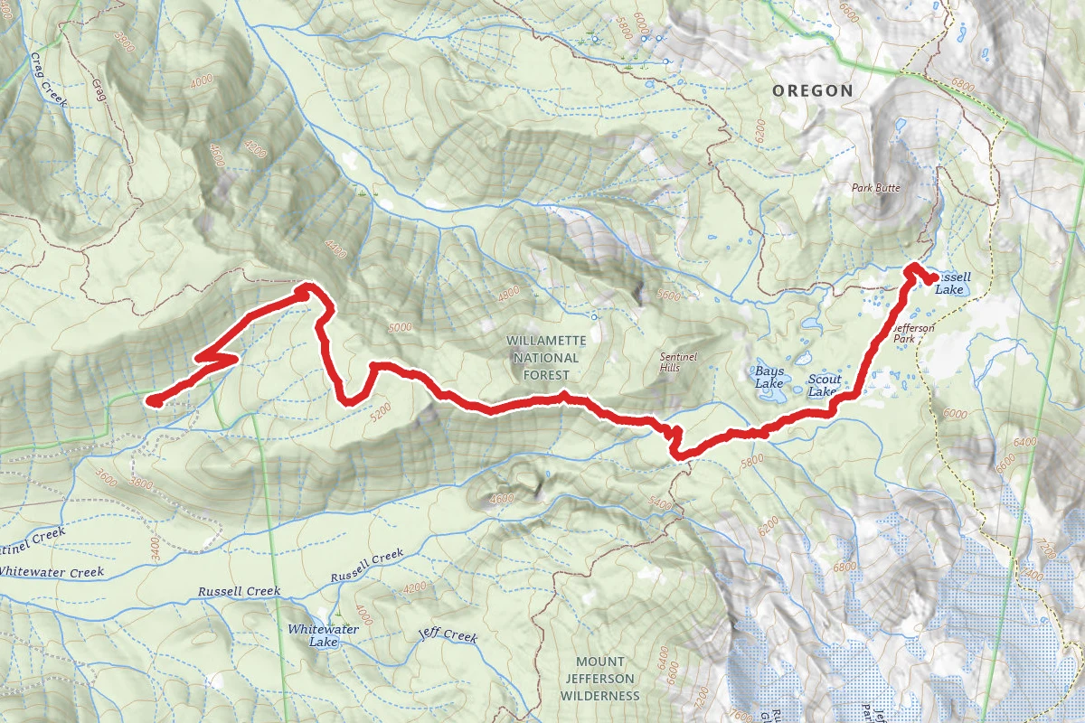
Russell Lake via Whitewater Trail and Pacific Crest Trail
Oregon
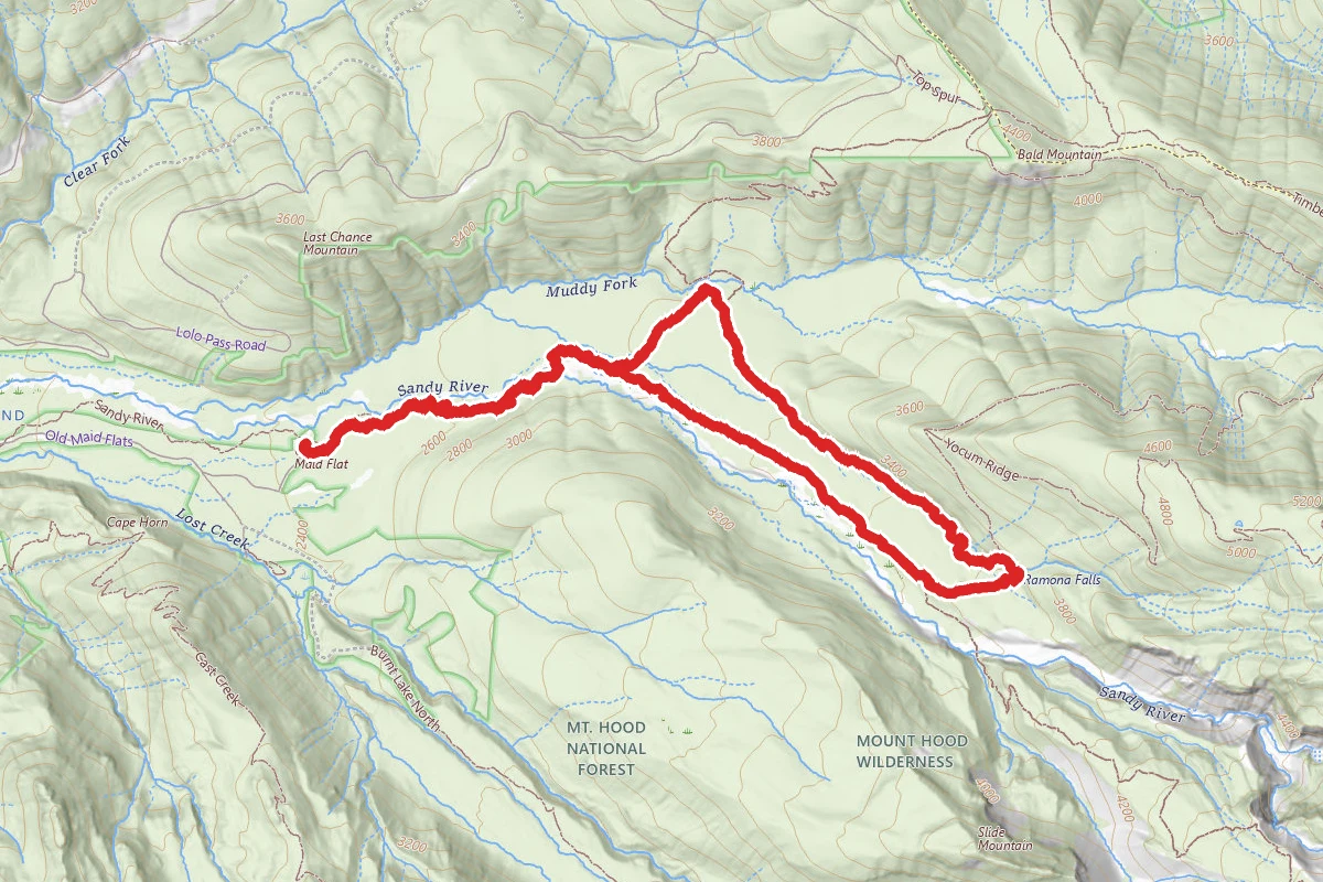
Ramona Falls Trail
Oregon