Status unknown — verify before visiting
We don't have current condition data for this trail. Check with the land manager before you go.
7.2 mi
Distance
2,110 ft
Elev. Gain
2h 42m
Est. Time
Loop
Route Type
Difficult
Difficulty
About This Trail
Imported descriptionTrail Conditions
Trail Conditions
We have no current condition data for this trail. Check with the operator before you go, and submit a report below if you've been recently.
No recent condition reports. Be the first to share what you see on the trail.
Elevation Profile
Trail Details
- Route Type
- Loop
- Surface
- Dirt
Official sources & verification
Managed by United States Forest Service
Managing agency
- United States Forest Service
Find offices, alerts, and current orders for this agency.
Verify by phone or mail
- Address:OR
Reviews
No reviews yet
Be the first to share your experience and help others plan their visit.
Legacy import — verify before navigating
Path geometry came from our pre-launch legacy database. Routes have not yet been re-verified against the operator and may differ from the actual trail.
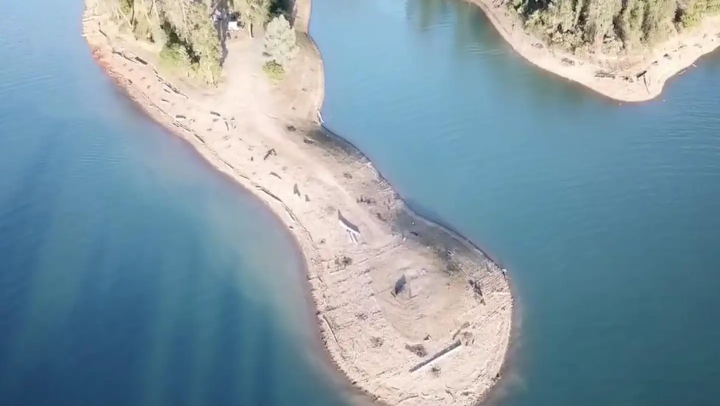
Hunt context
This trail crosses hunting units
During hunting seasons, wear blaze orange and check regulations — see the California hunting page
Nearby Trails
More trails near Clikapudi Bay and Creek
In this park
Other trails in Shasta National Forest
Heart Lake Trail From Castle Lake
California
McCloud Waterfall Trail
California
Mount Shasta via Avalanche Gulch Route
California
Bailey Cove Loop Trail
California
McCloud Middle Falls Short Hike
California
Mount Eddy Trail via PCT at Parks Creek
California
Stay nearby
Campgrounds near this trail
Similar length
Similar trails in California
Mirror Lake Loop
California

Yosemite Falls Trail
California

Four Mile Trail
California
.jpg/1280px-Lost_Horse_Mine_Loop_Trail_(16650877030).jpg)
Lost Horse Mine Loop
California
Potato Chip Rock via Mt. Woodson Trail
California
Iron Mountain Trail
California